We have made it into New Mexico! The drive to Carlsbad took us through scrub and sand. With oil rigs and pumps dotting the landscape.
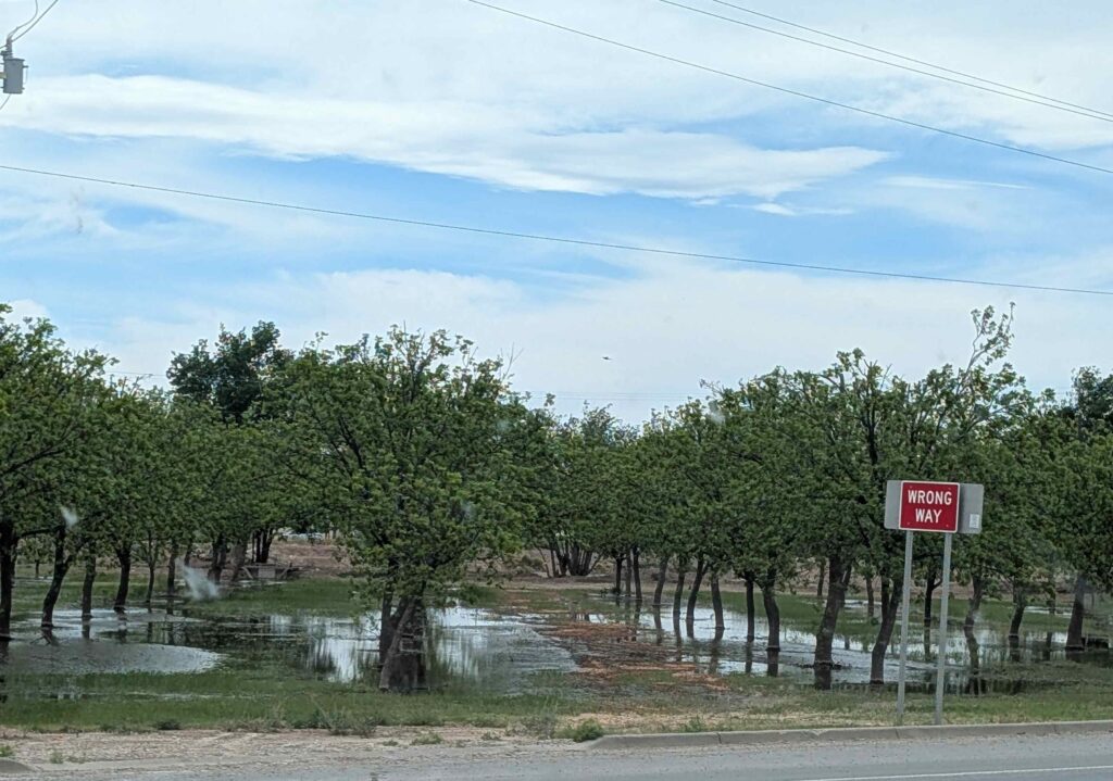
And as we approached Carlsbad, we saw signs that the local agriculture was pecans. So we are assuming that the orchards with lots of puddles consist of pecan trees.
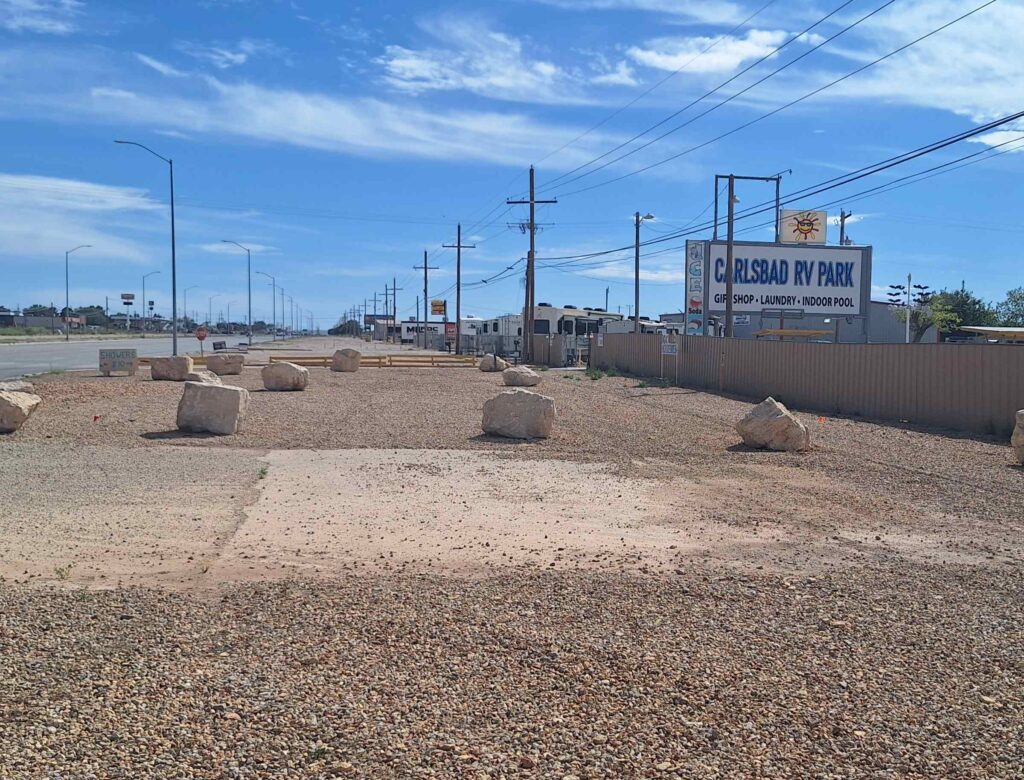
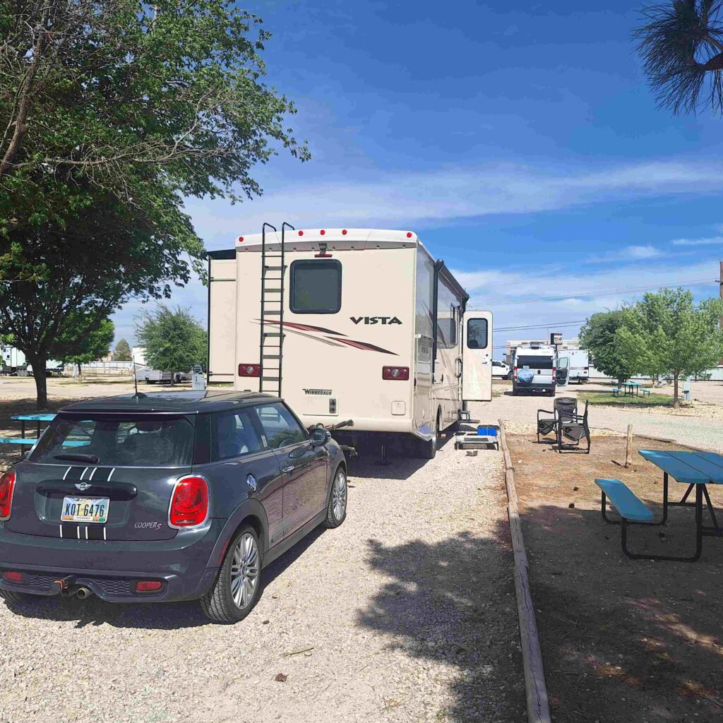
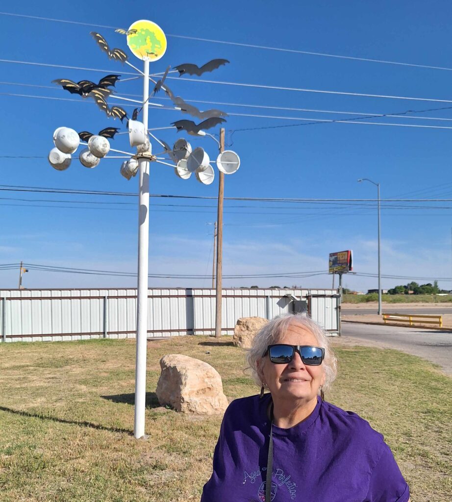
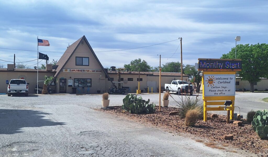
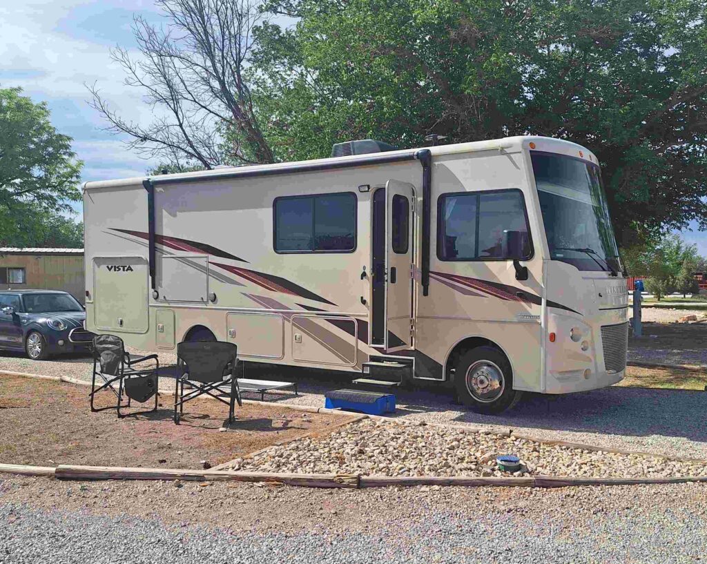
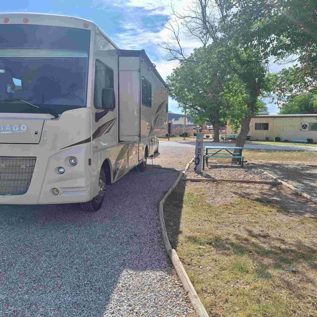
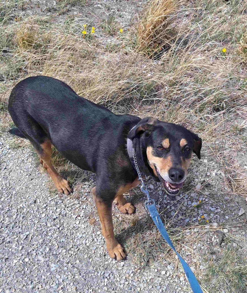
The Carlsbad RV Park was easy to get into, and very large. The sites are very open, with some small trees next to the different pads. And the grounds are mostly sand and gravel. Lexie is having difficulty finding a green spot to relieve herself.
We finally unhooked the Mini and drove her to Walmart for our first shopping run on this trip. We needed some foodstuffs but I really wanted to make sure that trailing Mini didn’t create any problems.
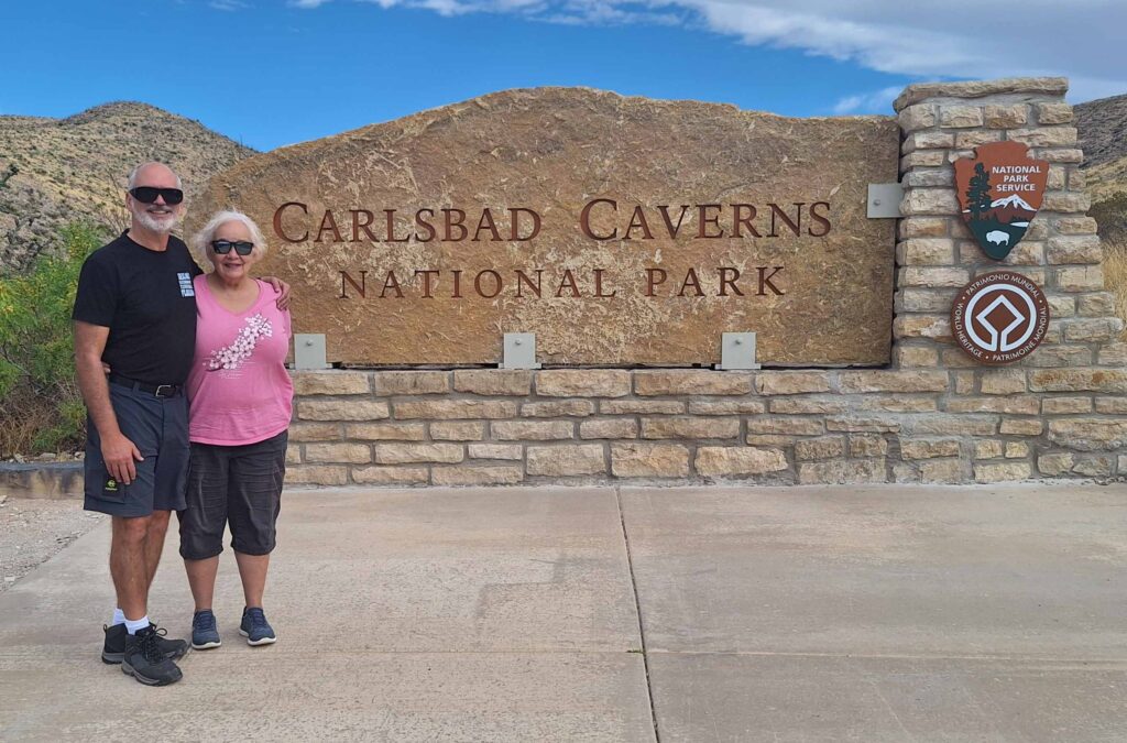
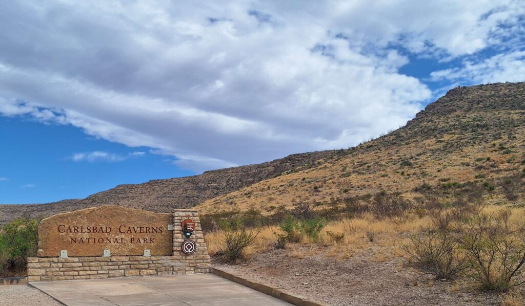
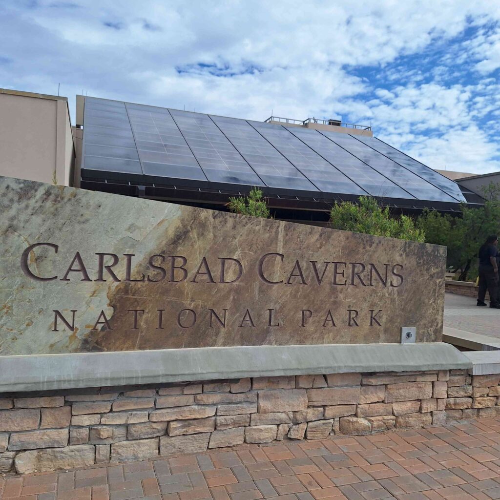
Friday we started the day going to Carlsbad Caverns. The Caverns are only 23 miles away from the campsite and the first 16 miles was done at highway speeds. But as we got closer to the turn-off point we started to see the Guadalupe Mountains along the side. The road to the Caverns was windy, uphill and between some awesome cliffs.
We left Lexie at the kennels at Carlsbad Caverns, something we wouldn’t recommend doing again. The kennel was a bunch of empty cages, many stacked on one another, and they had wire floors. There were no other pets in the kennel. Fortunately, we had Lexie’s bed, and we put her into a crate that was small for her. When we returned, there was only one other dog in the kennel. And Lexie couldn’t wait to get out of there!
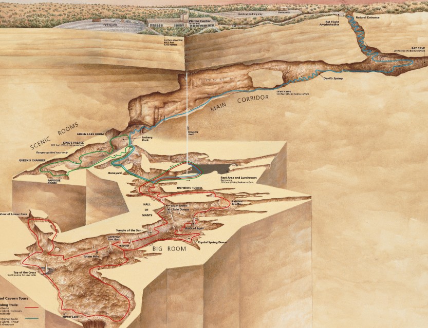
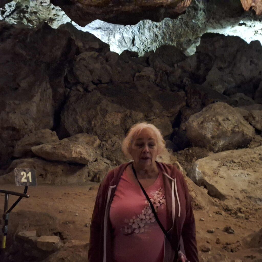
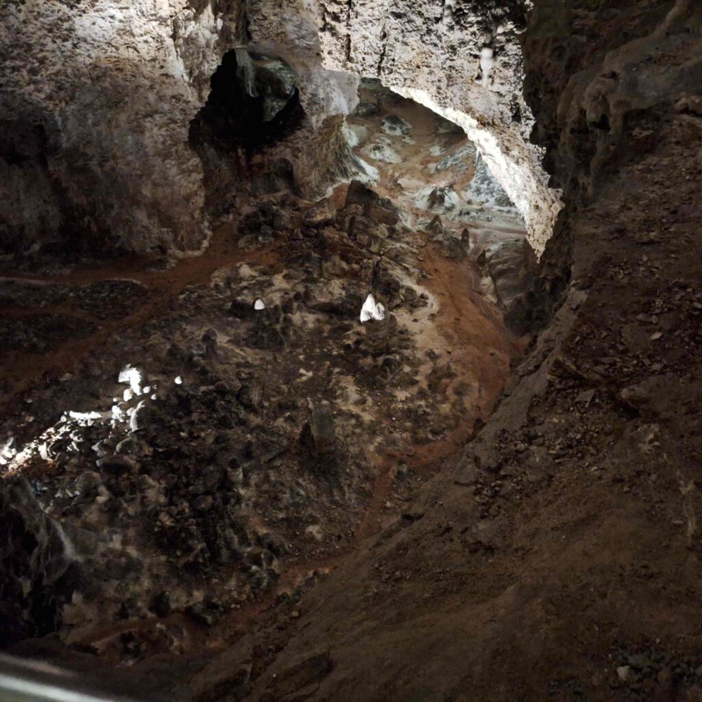
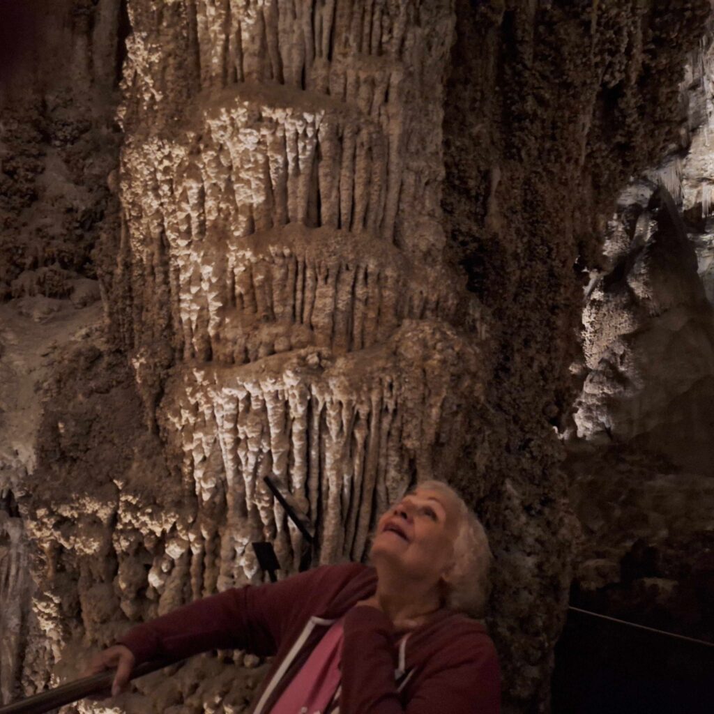
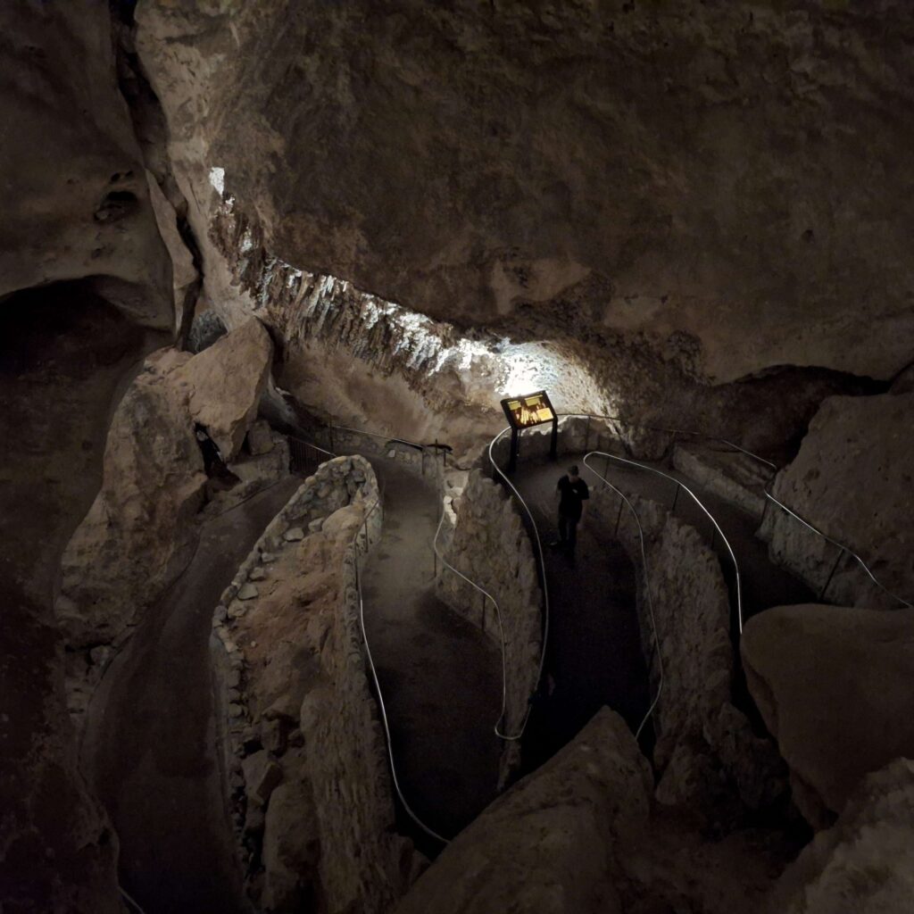
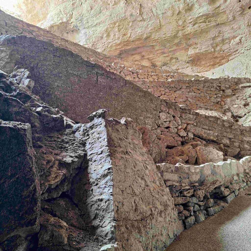
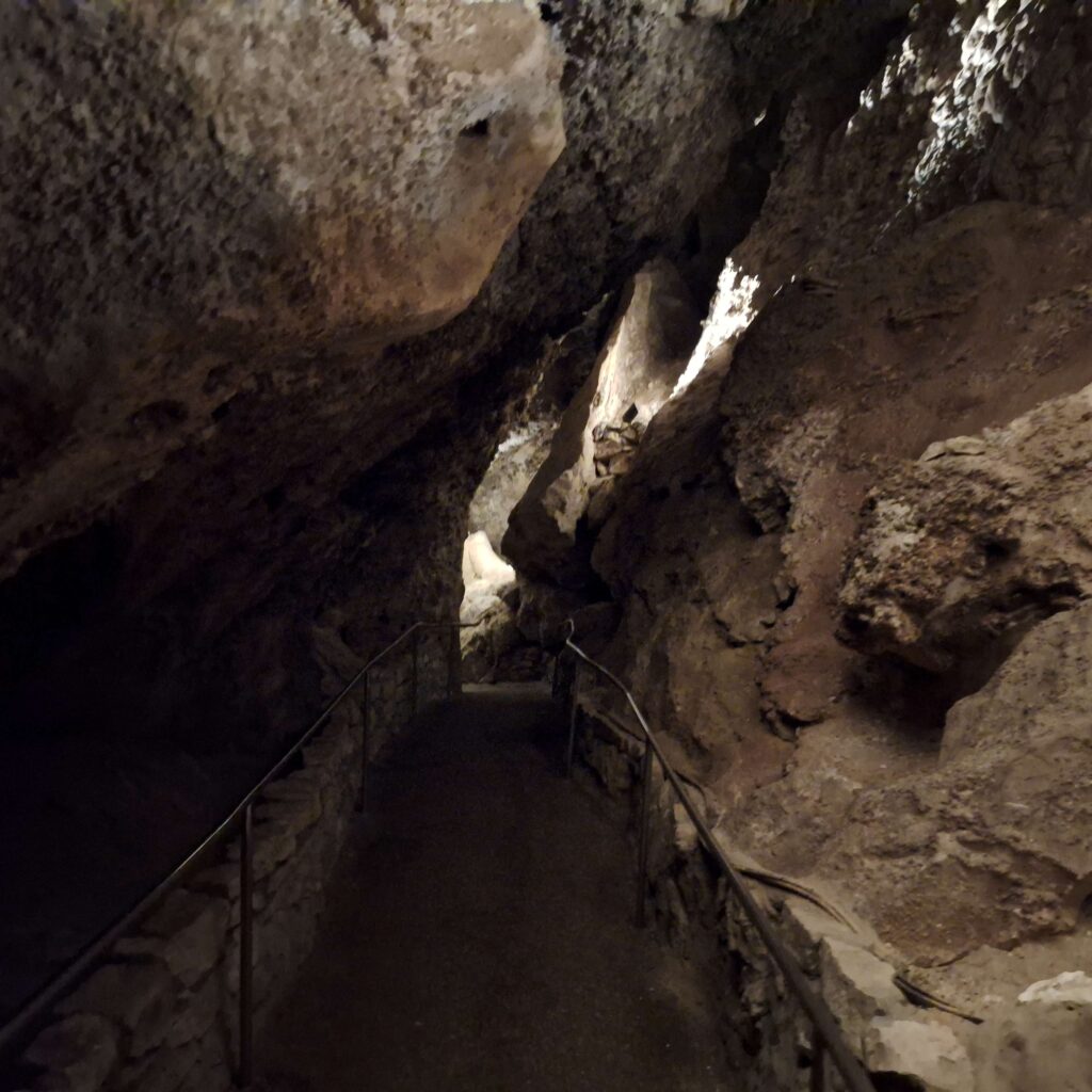
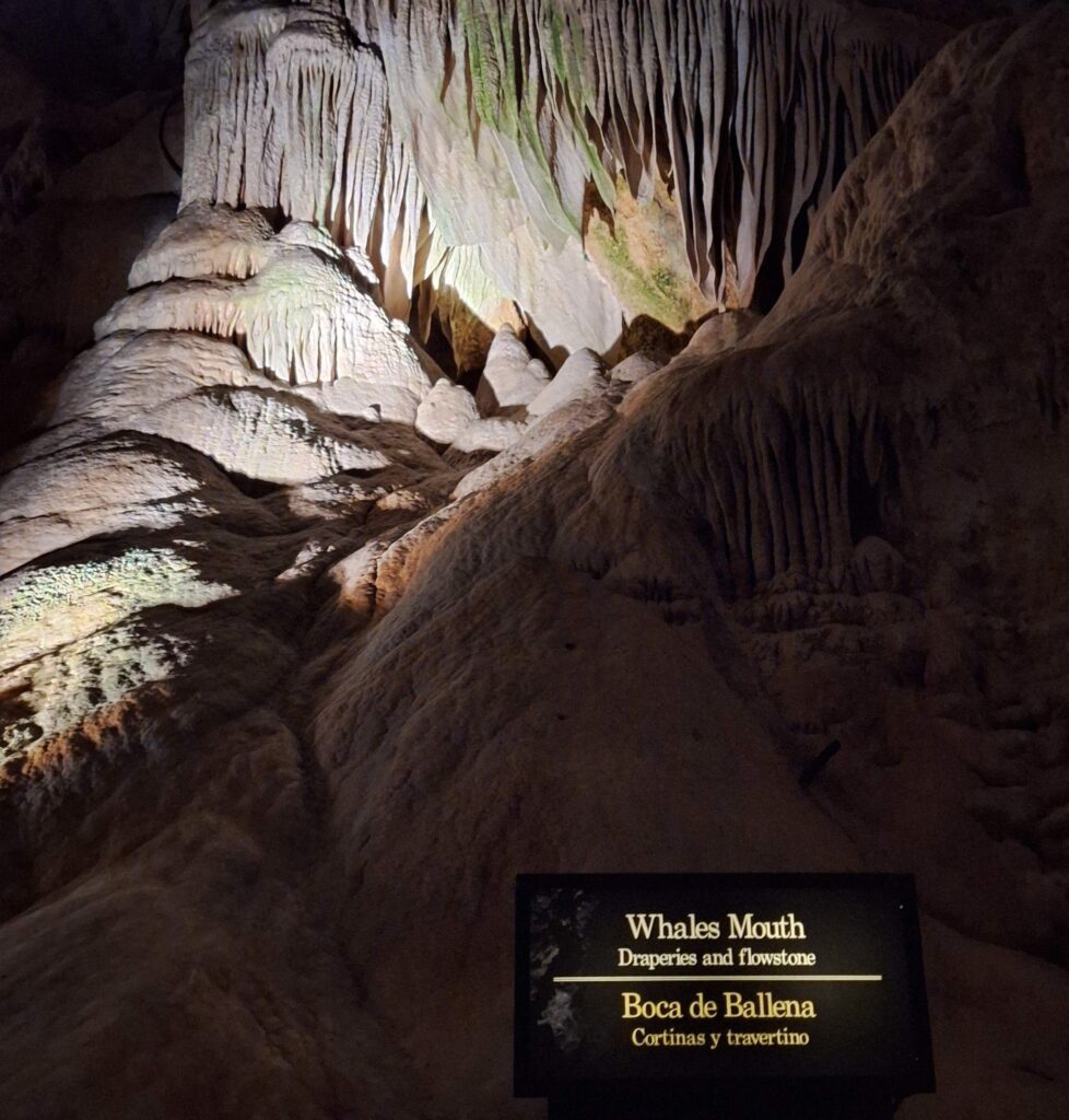
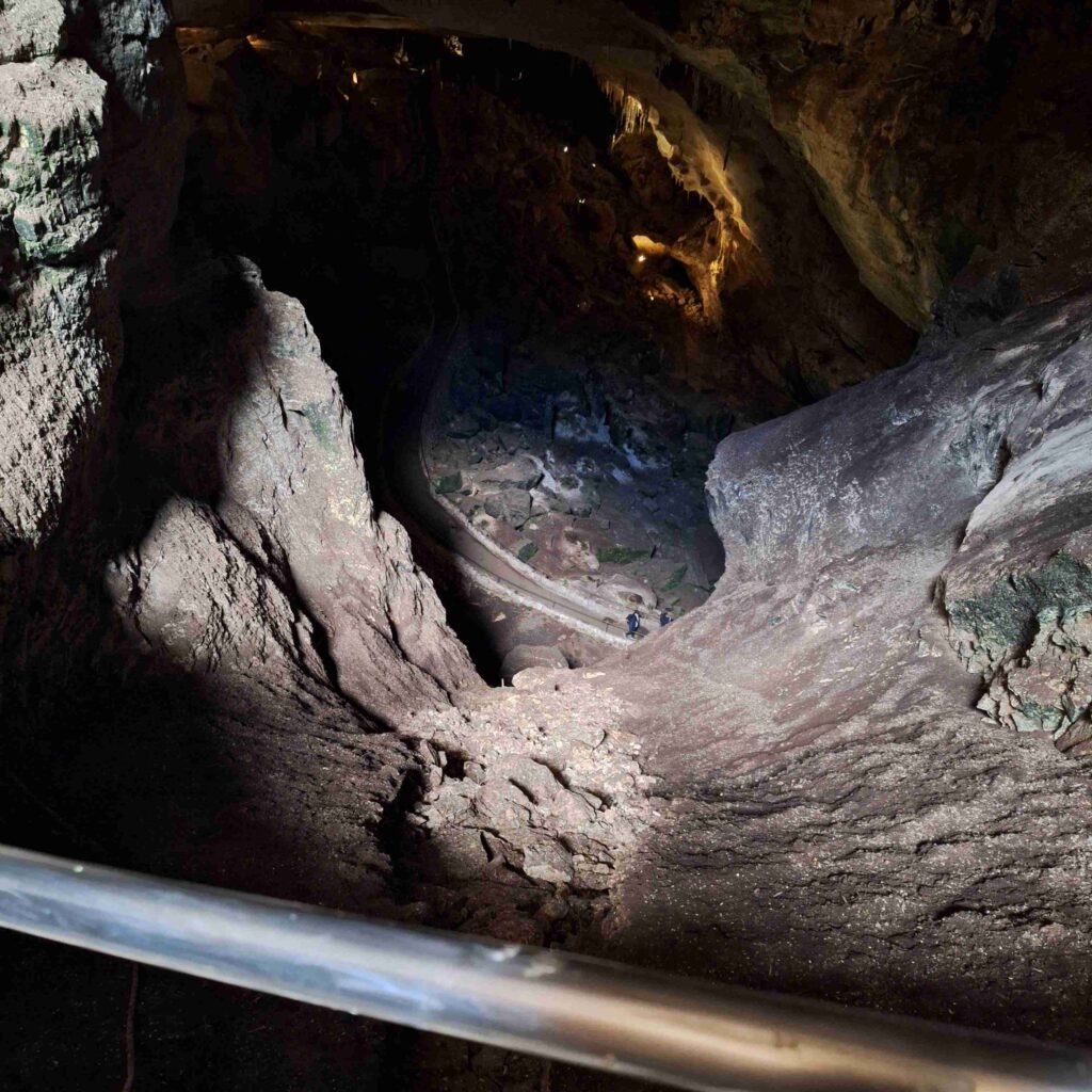
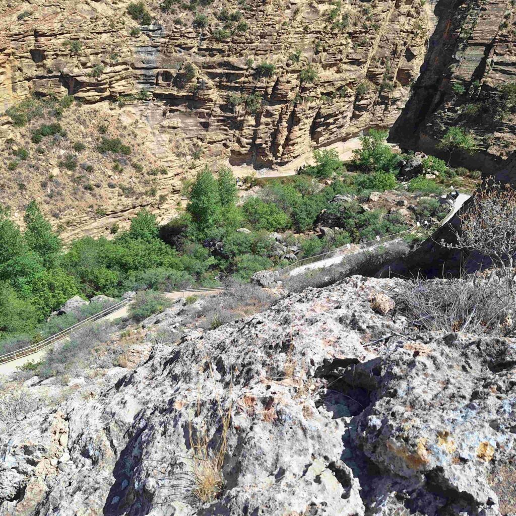
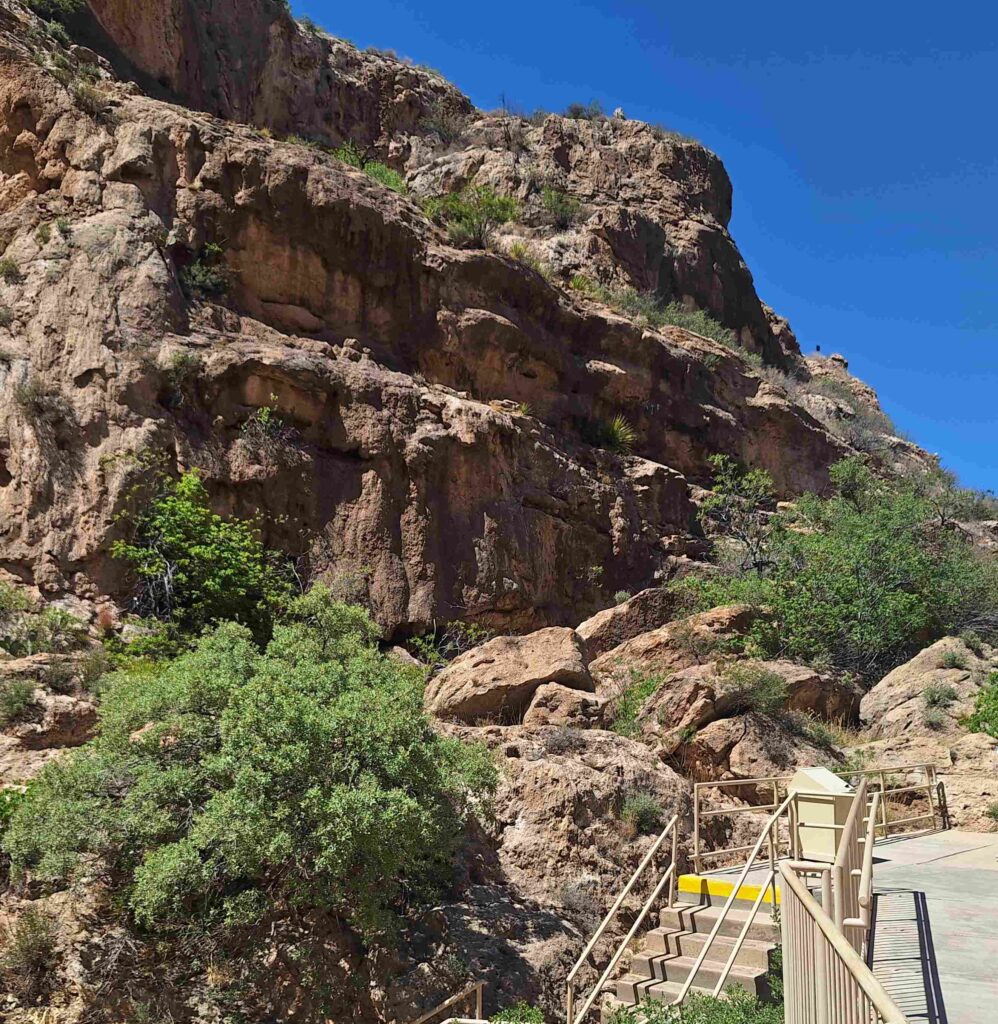
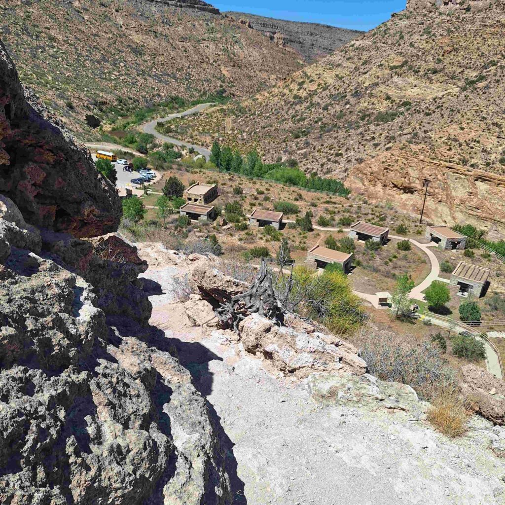
Vicki and Steve took the elevator 750 feet down into the Cavern, where we walked around the Big Room and other areas.
The rooms were huge with many stalactites, stalagmites and other features caused by dripping water. The cave was much larger than Mammoth Caves and had more of the traditional cave features Steve expected to see.
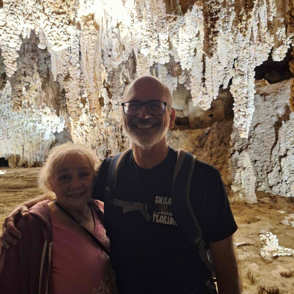
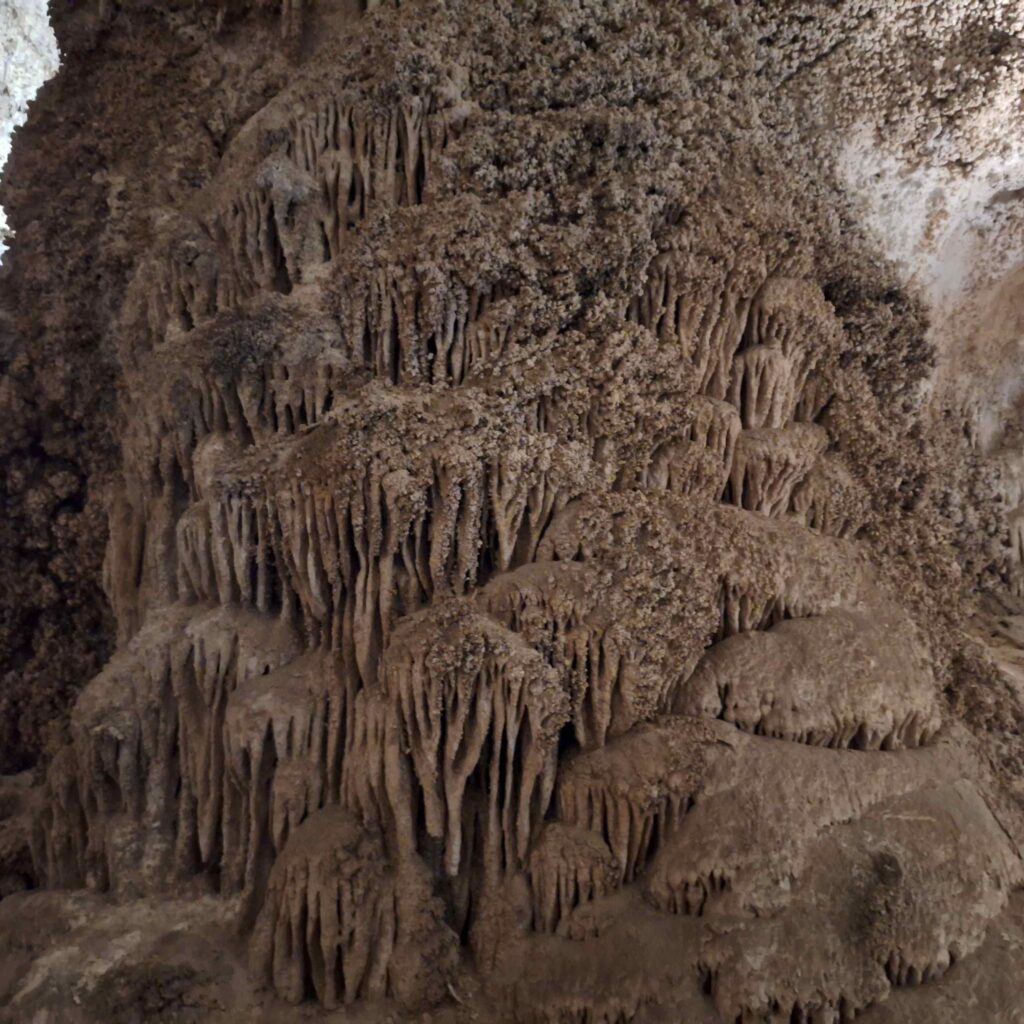
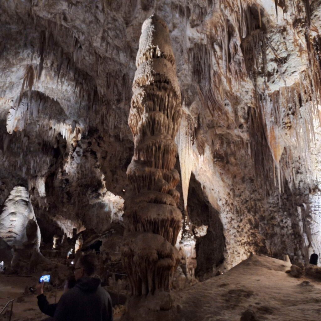
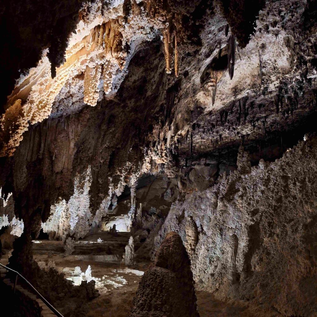
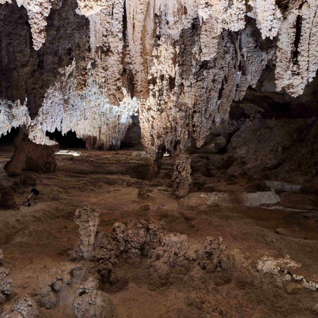
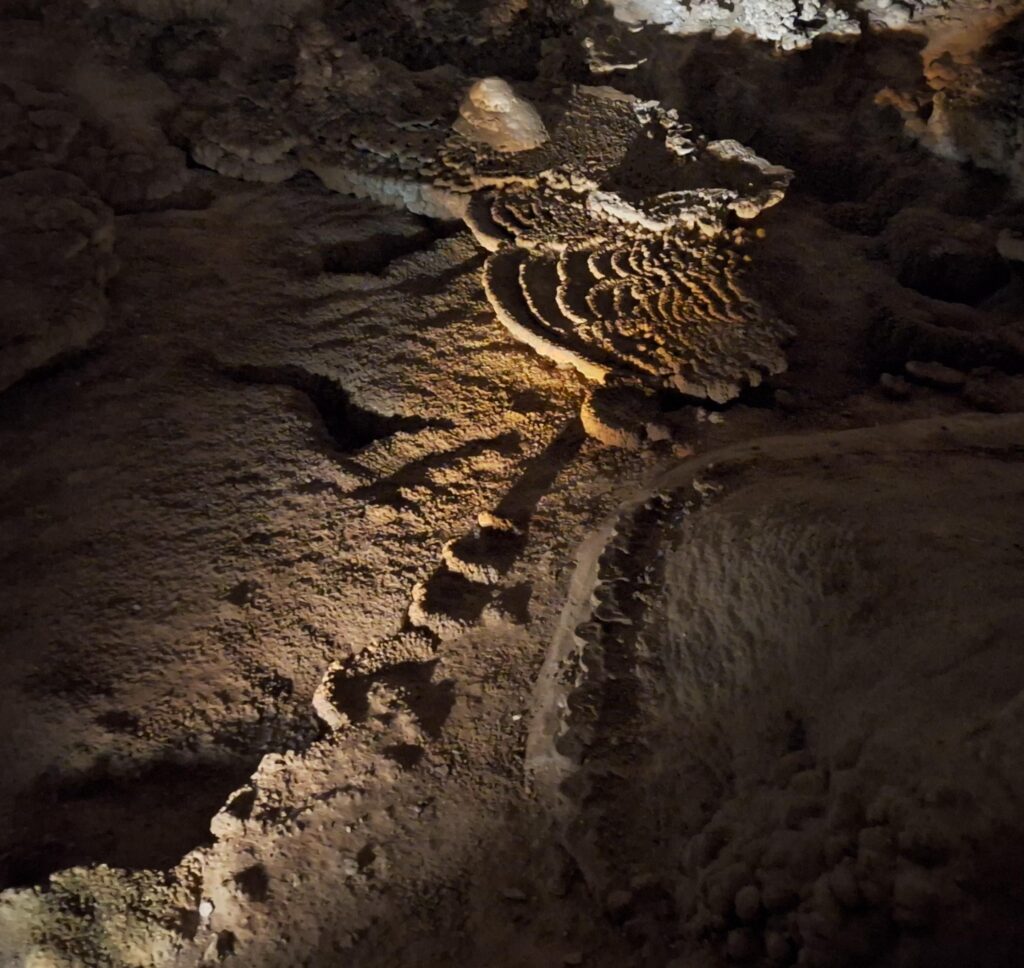
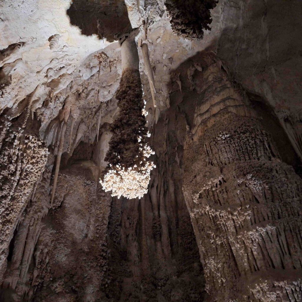
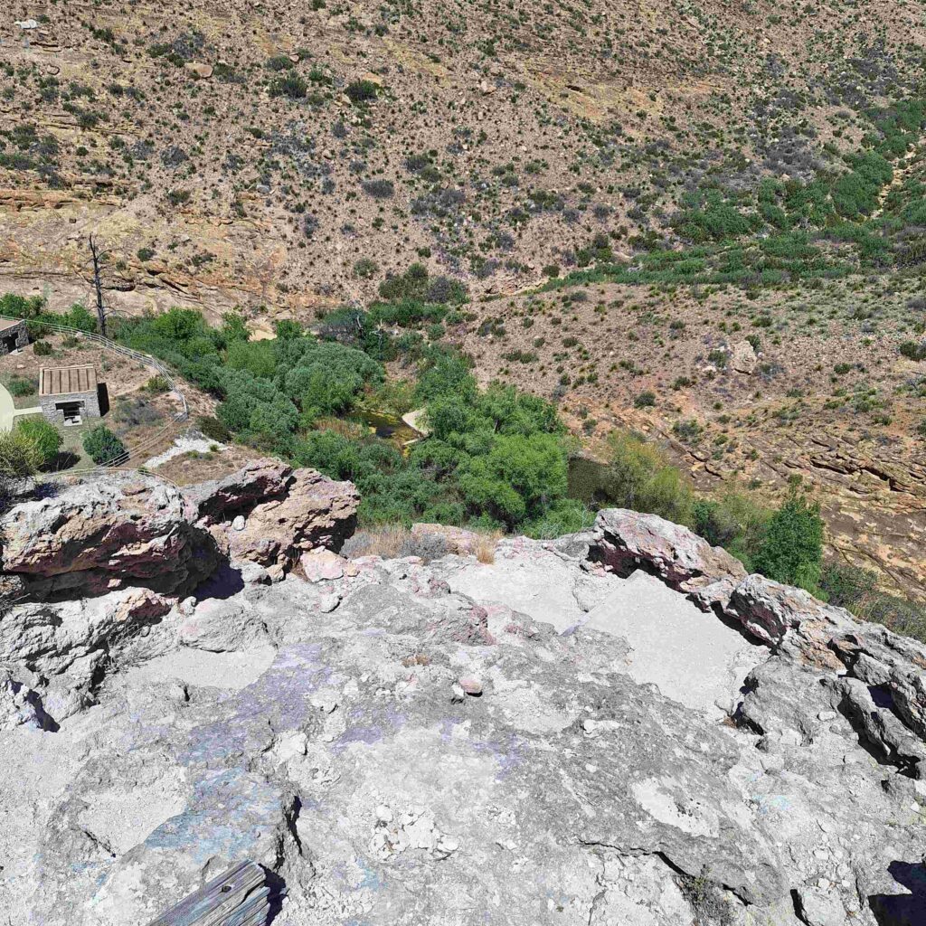
V: The height of the Big Room and length of the trails throughout the cavern was more than impressive. The elevator made it very easy to access the stunning caverns and get back to the surface again. Carlsbad Cavern’s entrance at the Visitor Center sits along the top ridgeline of the Guadalupe mountain range, also very impressive. The view was absolutely stunning looking out over the New Mexican and Texan landscape.
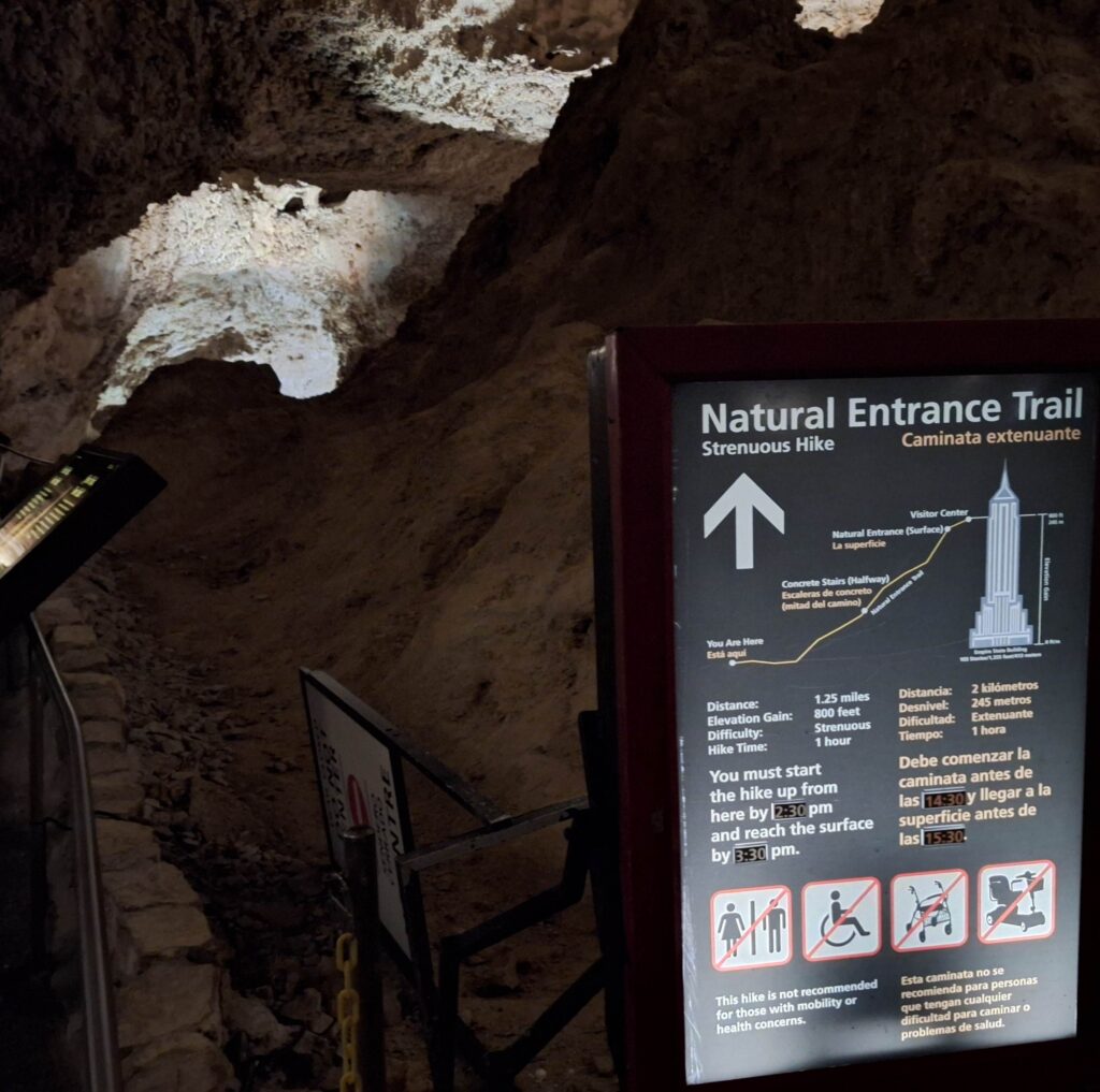
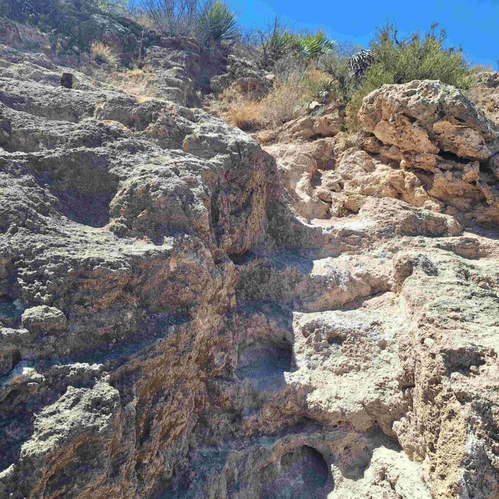
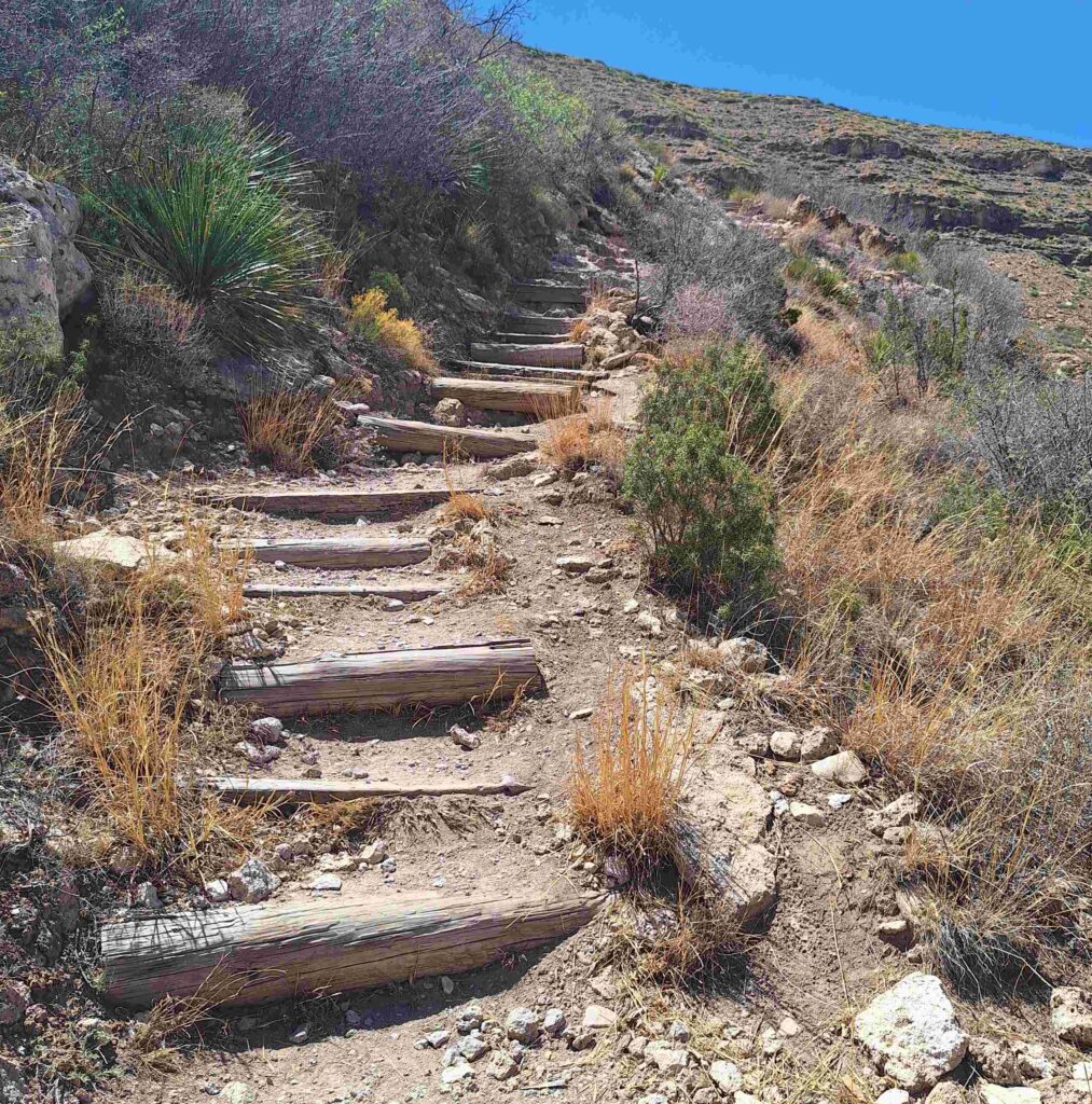
Steve then hiked back up to the surface. The hike up was about a mile, so he figured that the slope would average around 15%. That was until he started to go downhill again! So most of the pictures seen on the way up were also opportunities to catch his breath. And he only saw two other people going up the trail (and the young ladies passed him quickly while talking!).
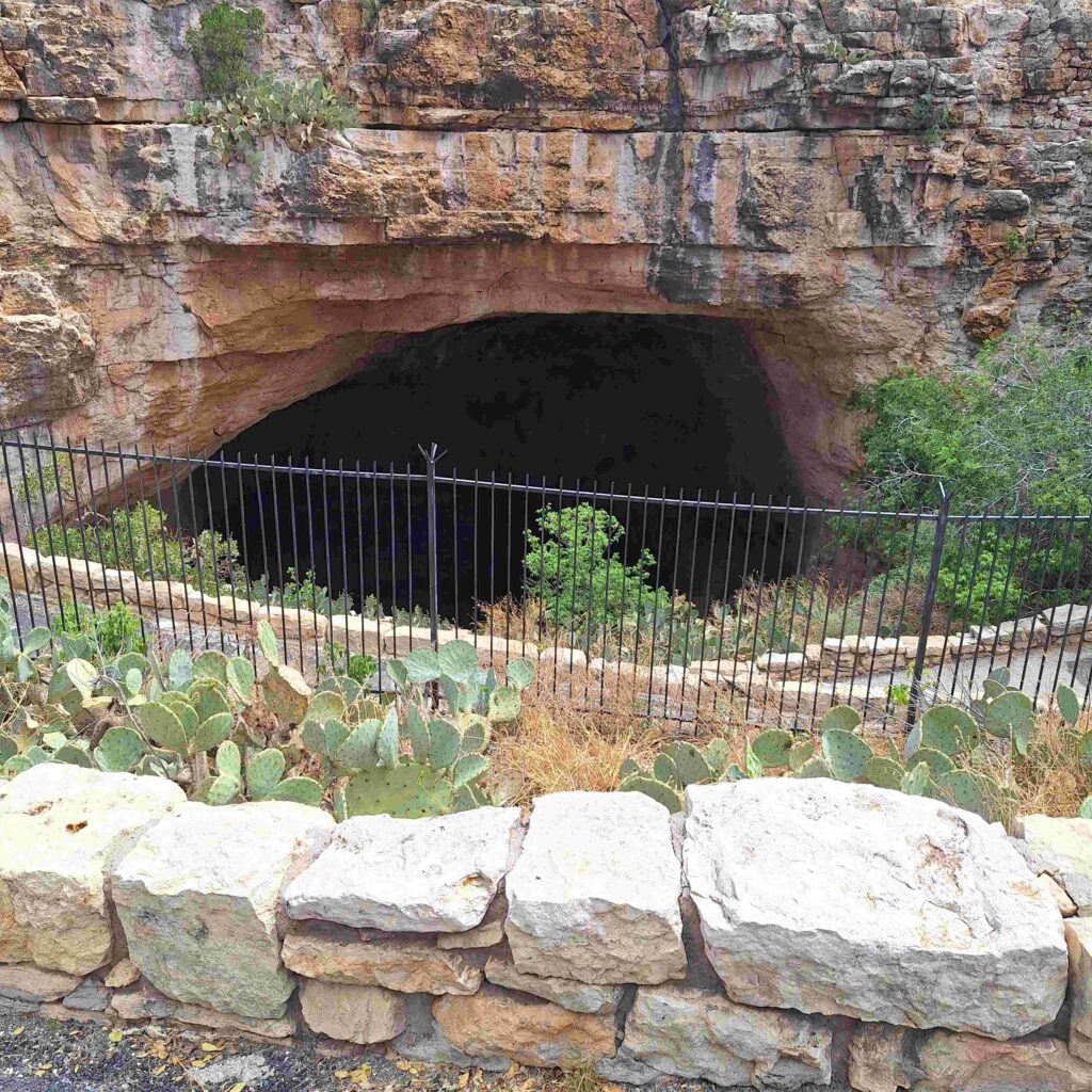
As Steve neared the top, he could smell organic matter (bat guano?) He did peer into the darkness of the bat cave. We didn’t stay for the evening when the bats leave. V: Park ranger said only a small number of bats are at the cave now. The numbers peak in the summer. As do the number of tourists…
After the hike and rescuing Lexie, we had a quick picnic lunch in the parking lot.
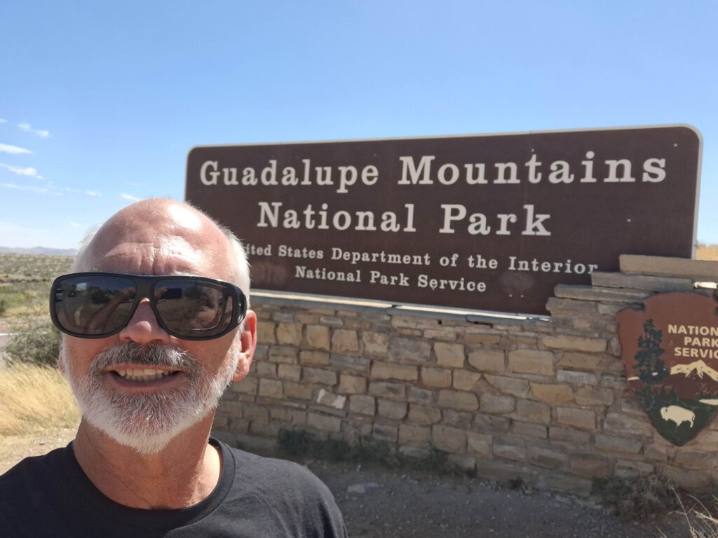
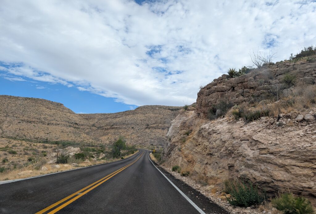
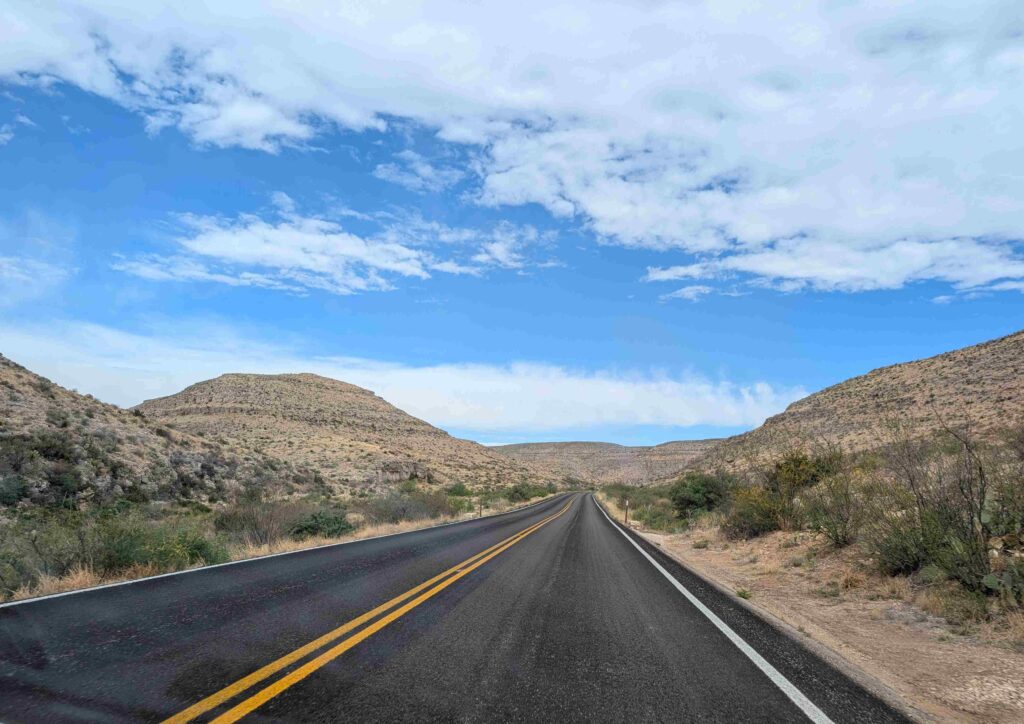
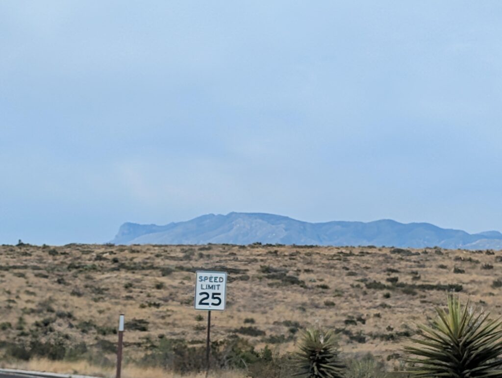
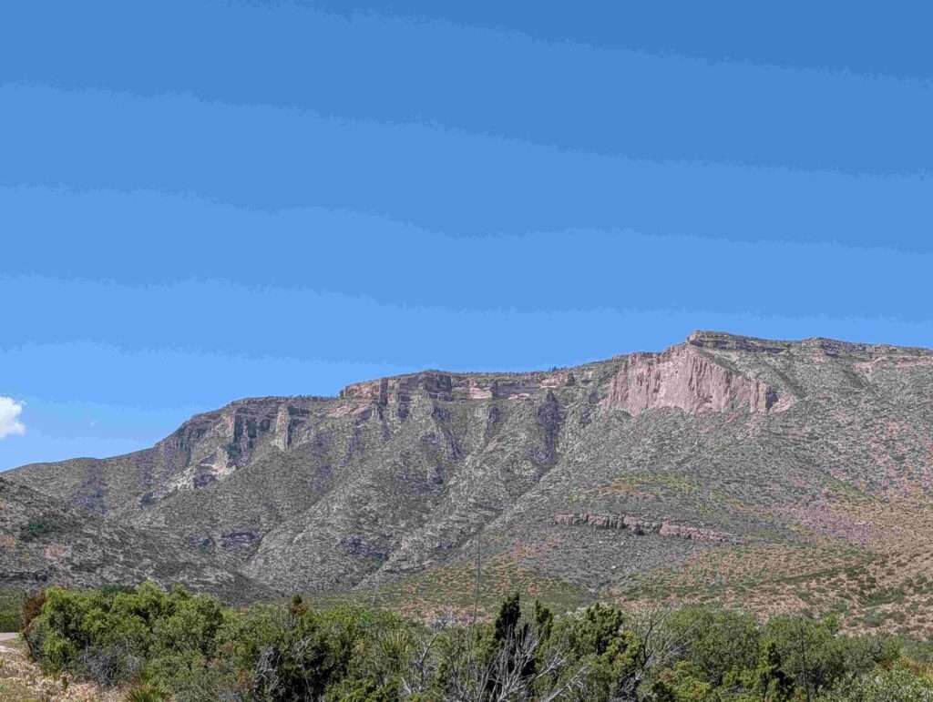
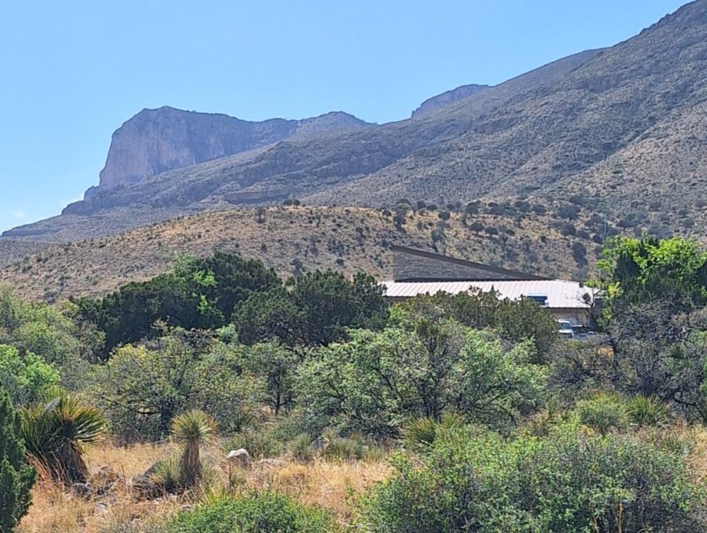
The next stop was to go the Guadalupe Mountains National Park, which was only 30 minutes further south once we got to the highway. The route took us closer and closer to the edge of the Guadalupe Mountain range, marked by the steep face of El Capitan.
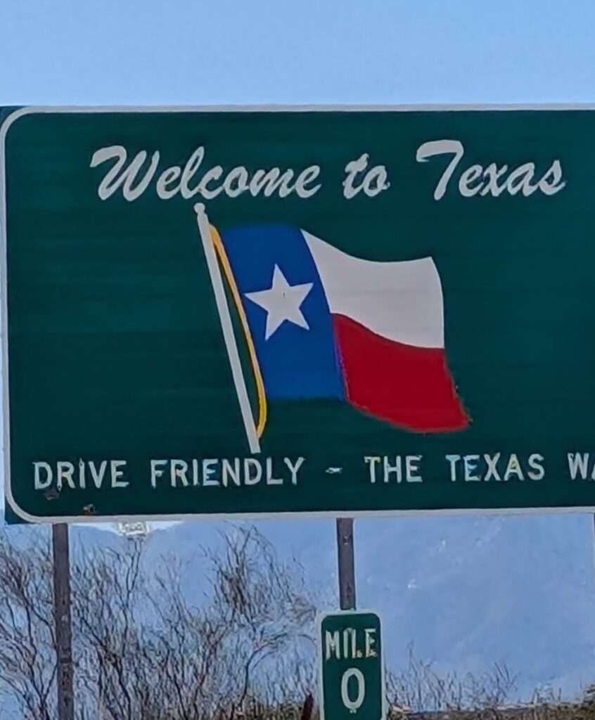
It also took us back into Texas.
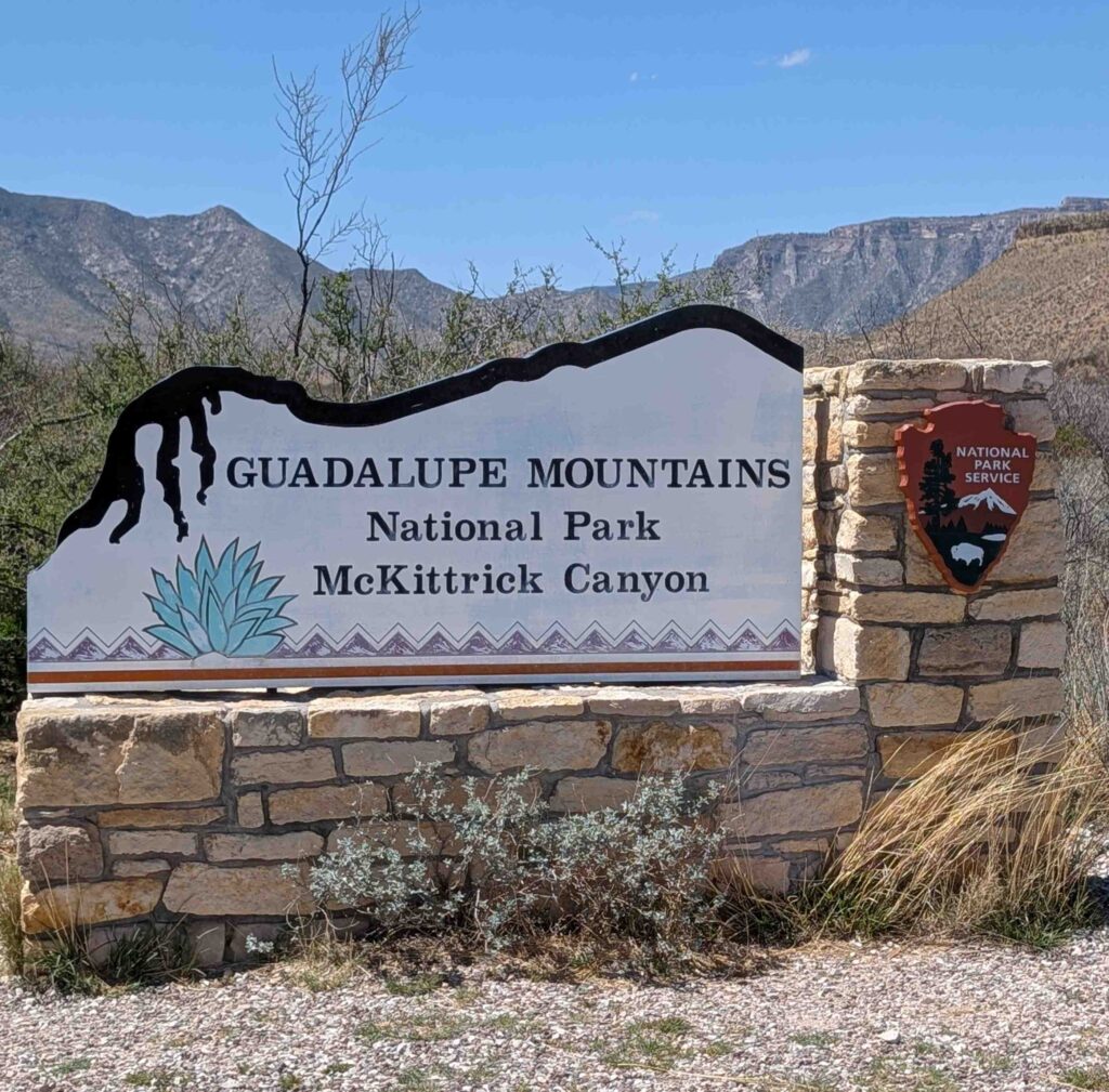
We stopped first at McKittrick Canyon but that visitor center didn’t offer much, including not having a stamp for the park.
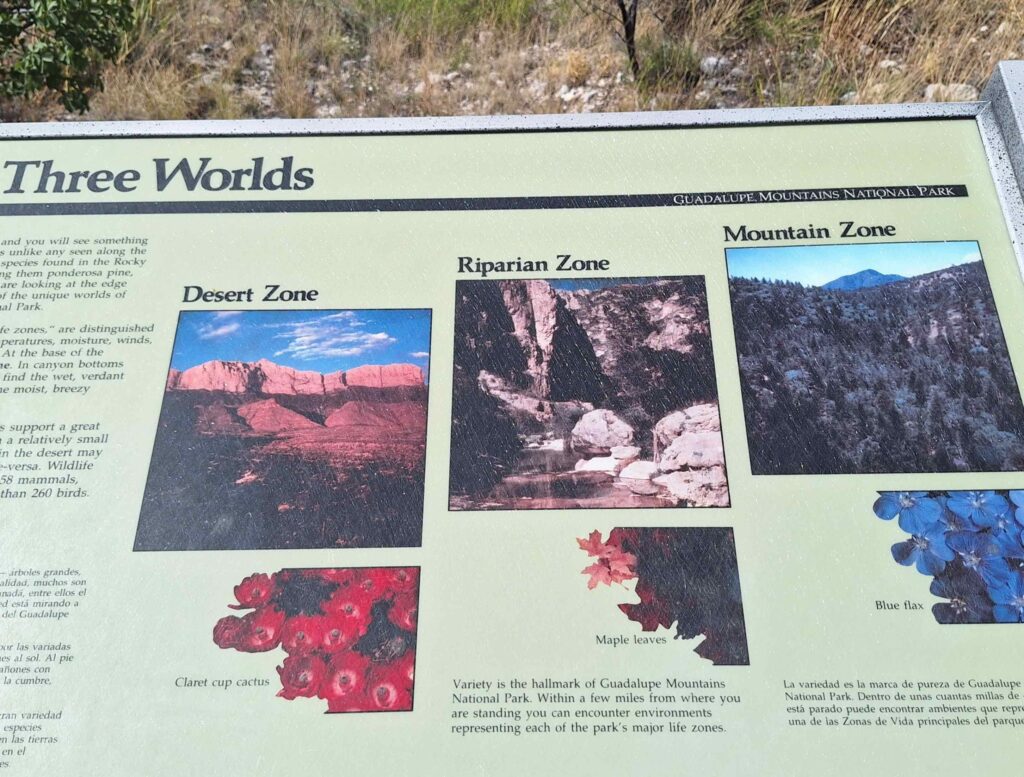
So we continued on to Pine Springs Visitor Center. Vicki examined the inside of the Visitor Center while Steve and Lexie explored the outside.
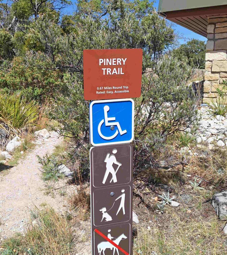
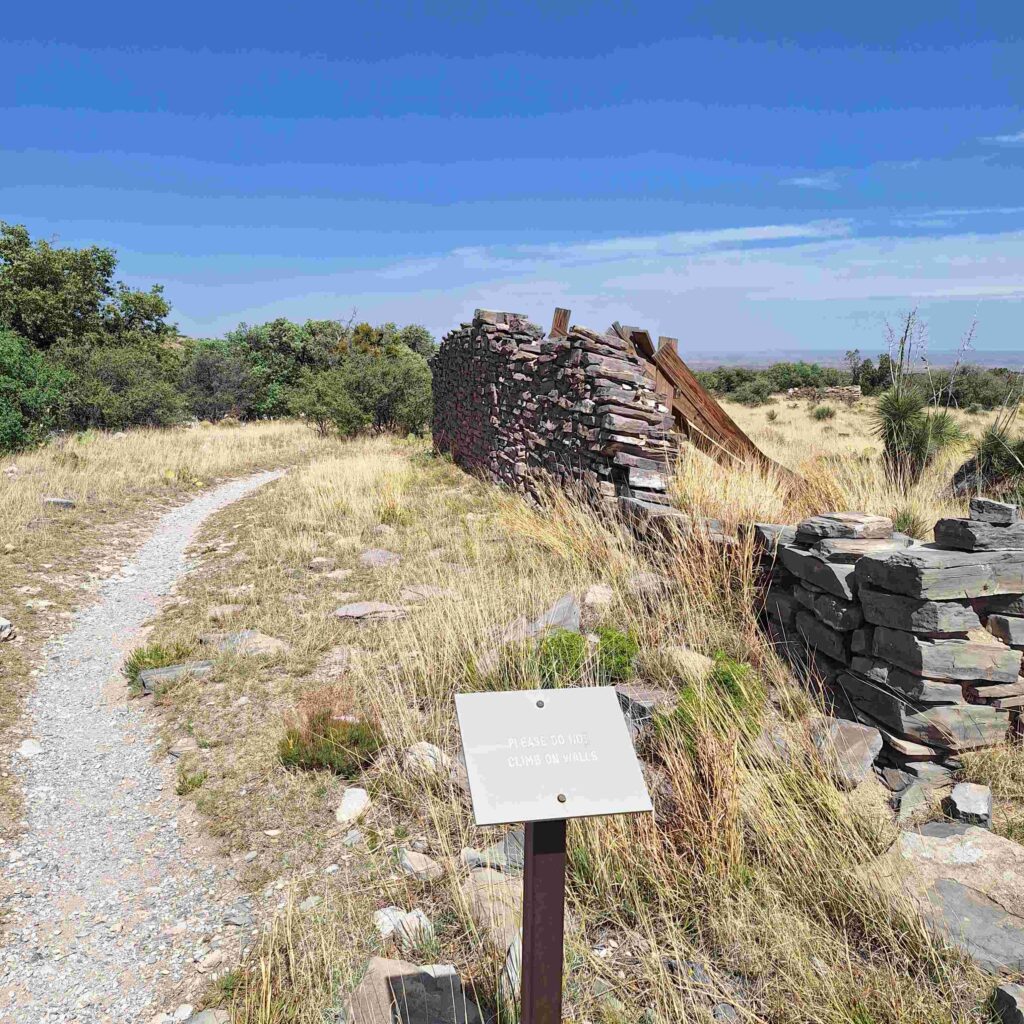
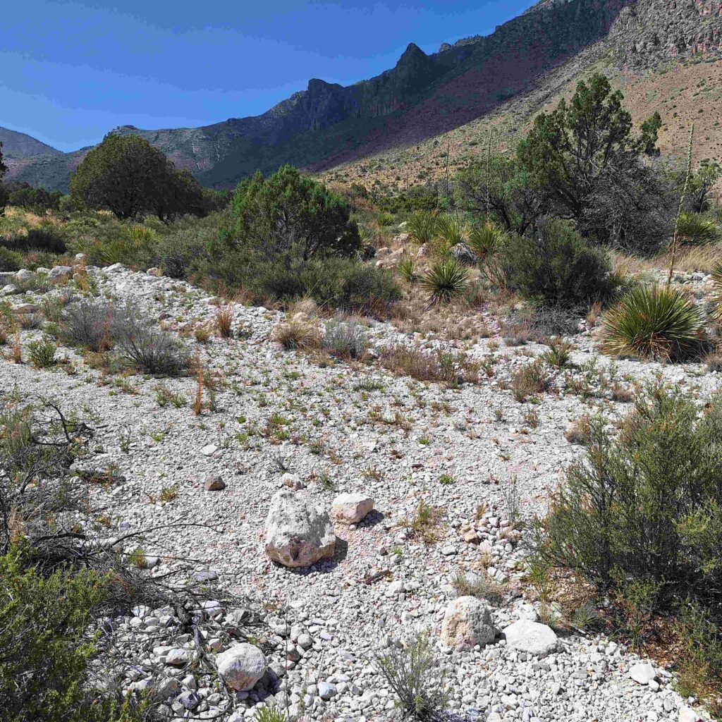
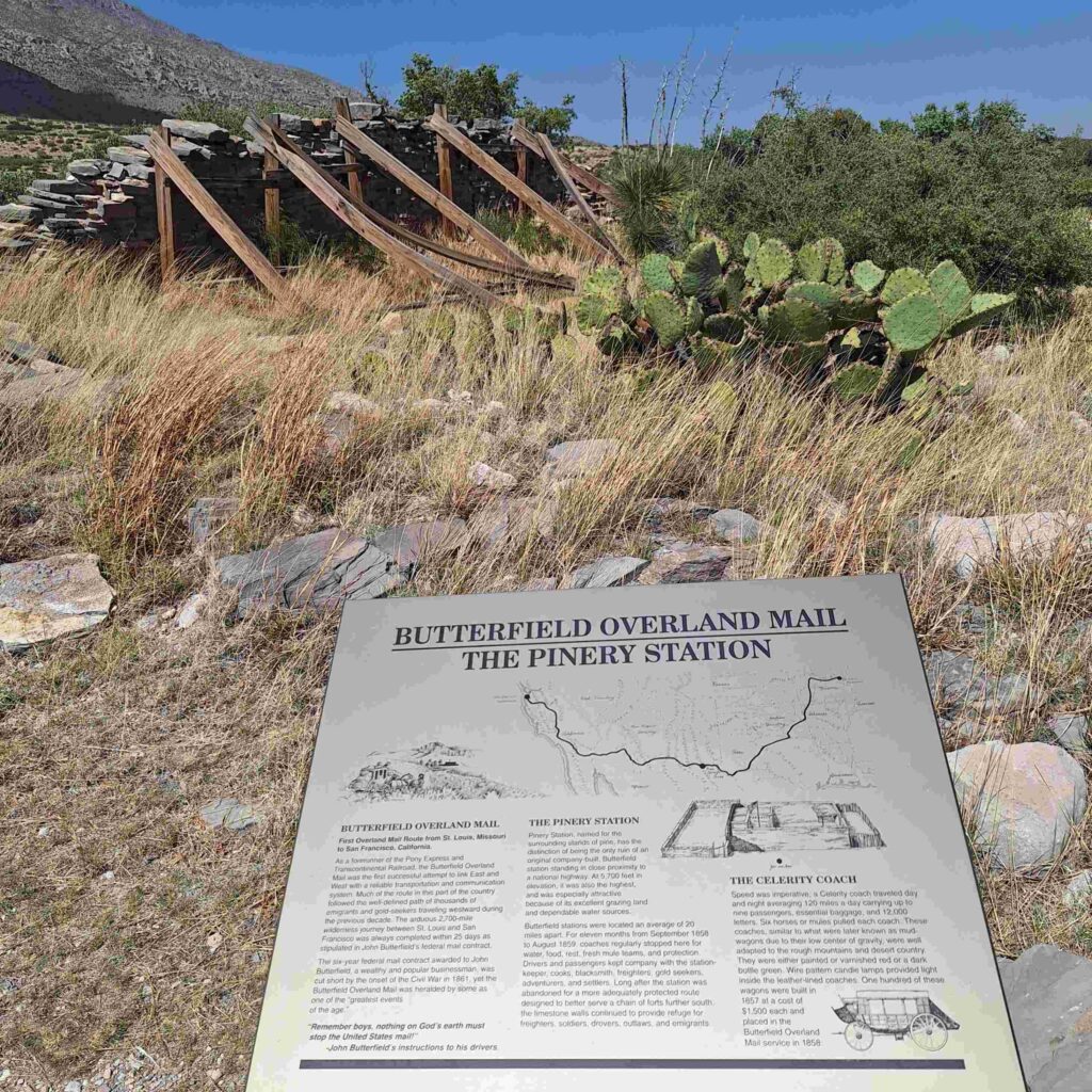
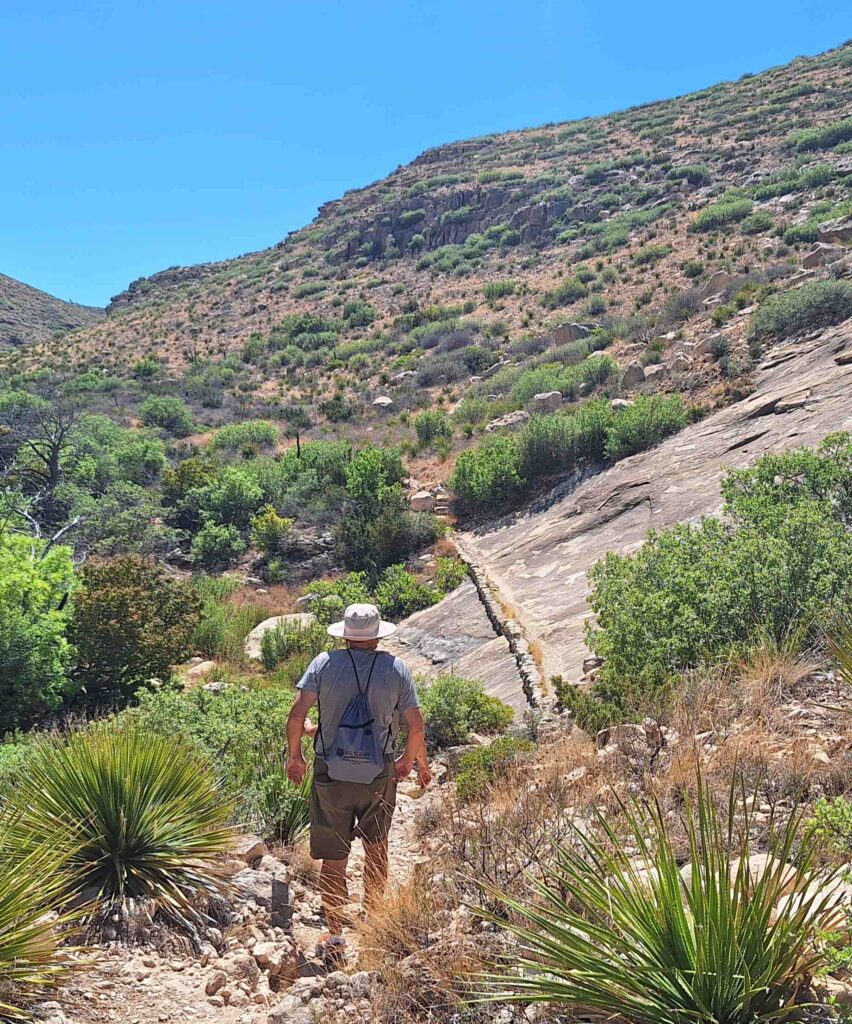
The Pinery Trail started by identifying some of the local flora. It then continued along a wash and ended up at the site of an overland mail station (now very much in disrepair). It was a nice walk for Steve, but Lexie is not pleased with even short walks.
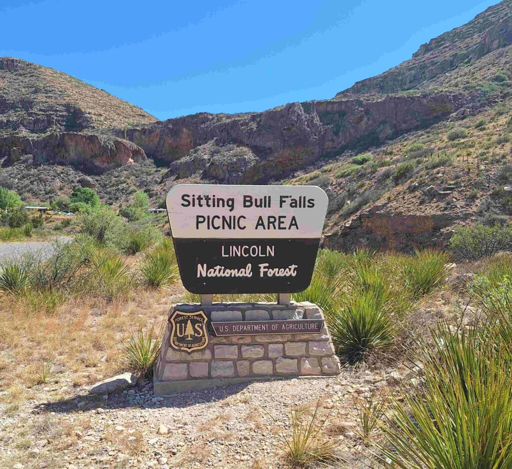
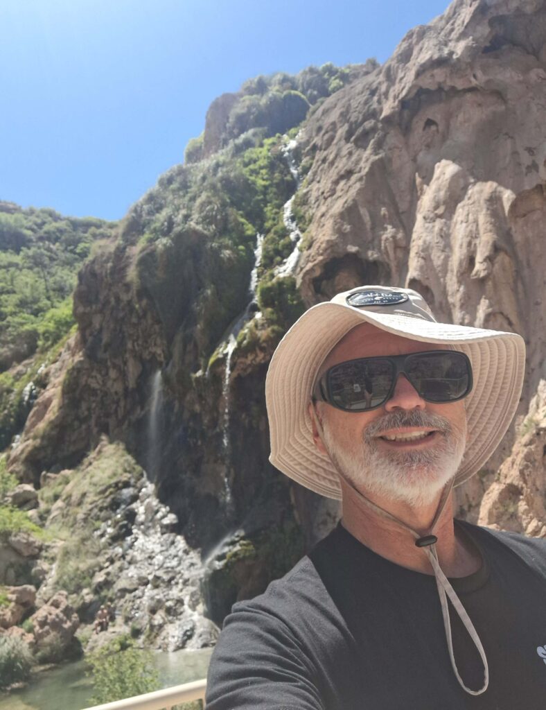
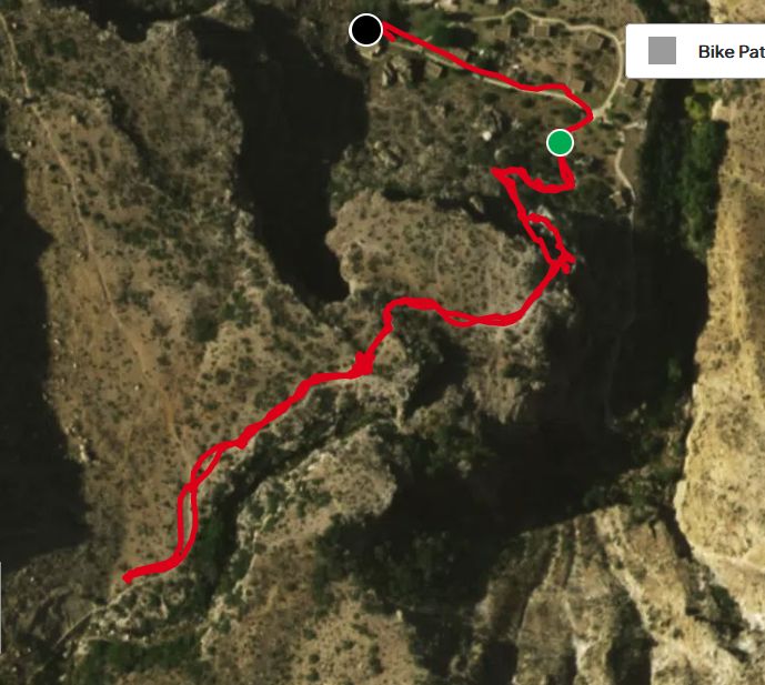
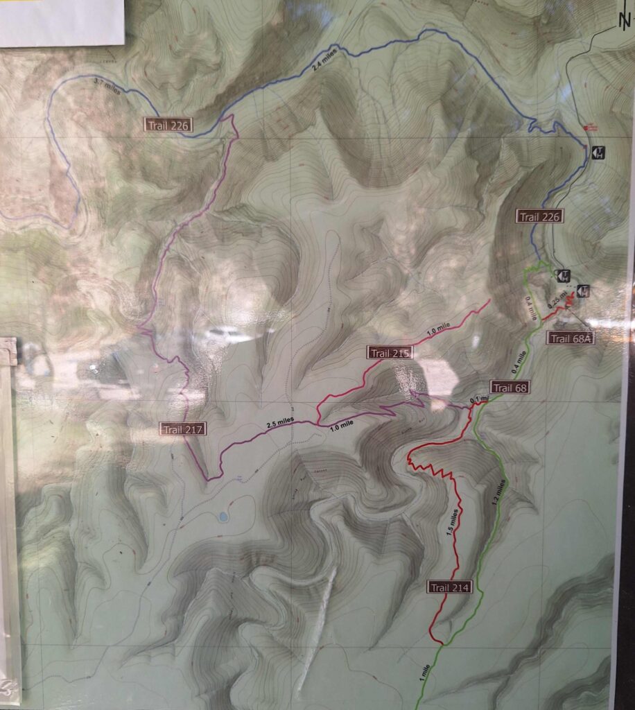
On Saturday, Steve took off for a solo adventure to Sitting Bull Falls. These falls are in the Lincoln National Forest, which touches both the Carlsbad Cavern National Park and Guadalupe Mountain National Park and are a popular picnic and scenic spot.
This was an hour drive into the Guadalupe Mountains.
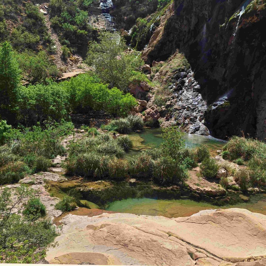
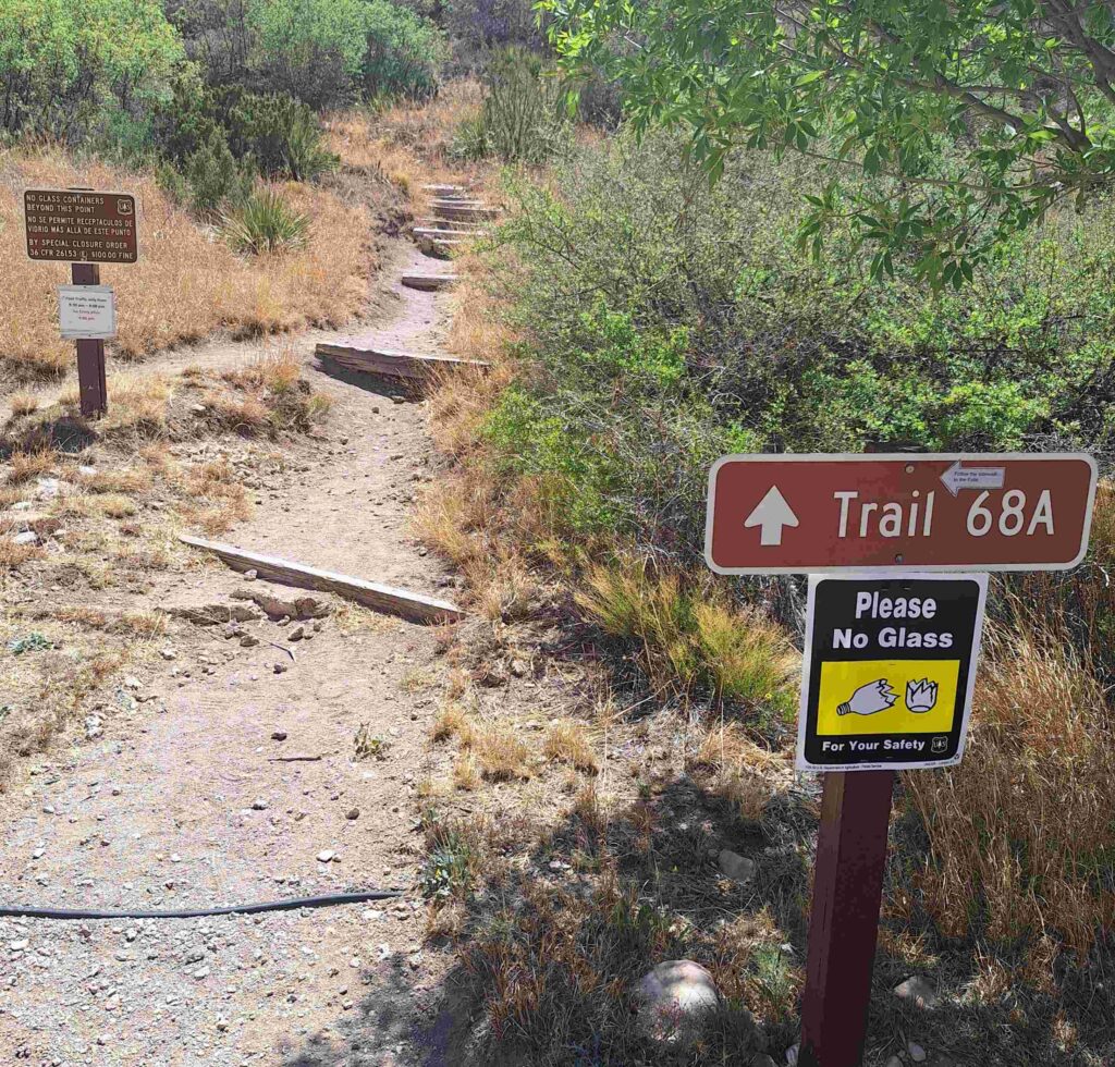
The falls were very picturesque, and there were a lot of people there (40?) to observe the falls and hike around the area. Steve tried to hike above the falls, but he got to a stretch of trail that was along a blank face and decided to go back. The wind, the height, the closeness to the edge of the ravine helped with the decision. And going downhill was more of a crawl due to the steepness and unevenness of the trail.
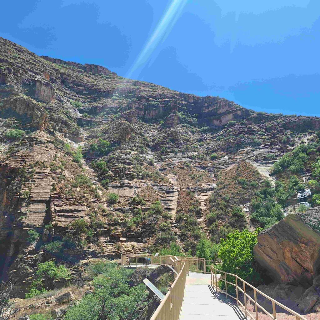
So this hike was not quite the adventure that Steve was looking for. As a consolation he did see a roadrunner or two cross the road. But no coyotes chasing them.
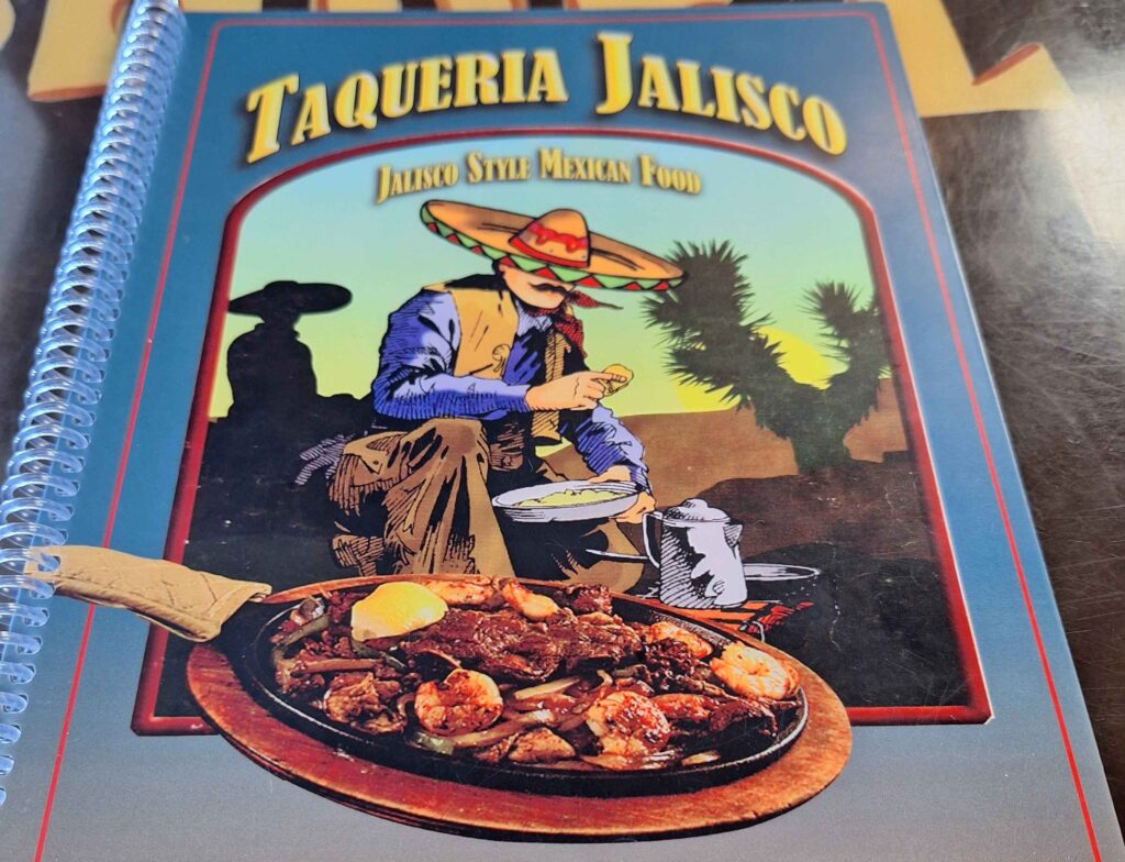
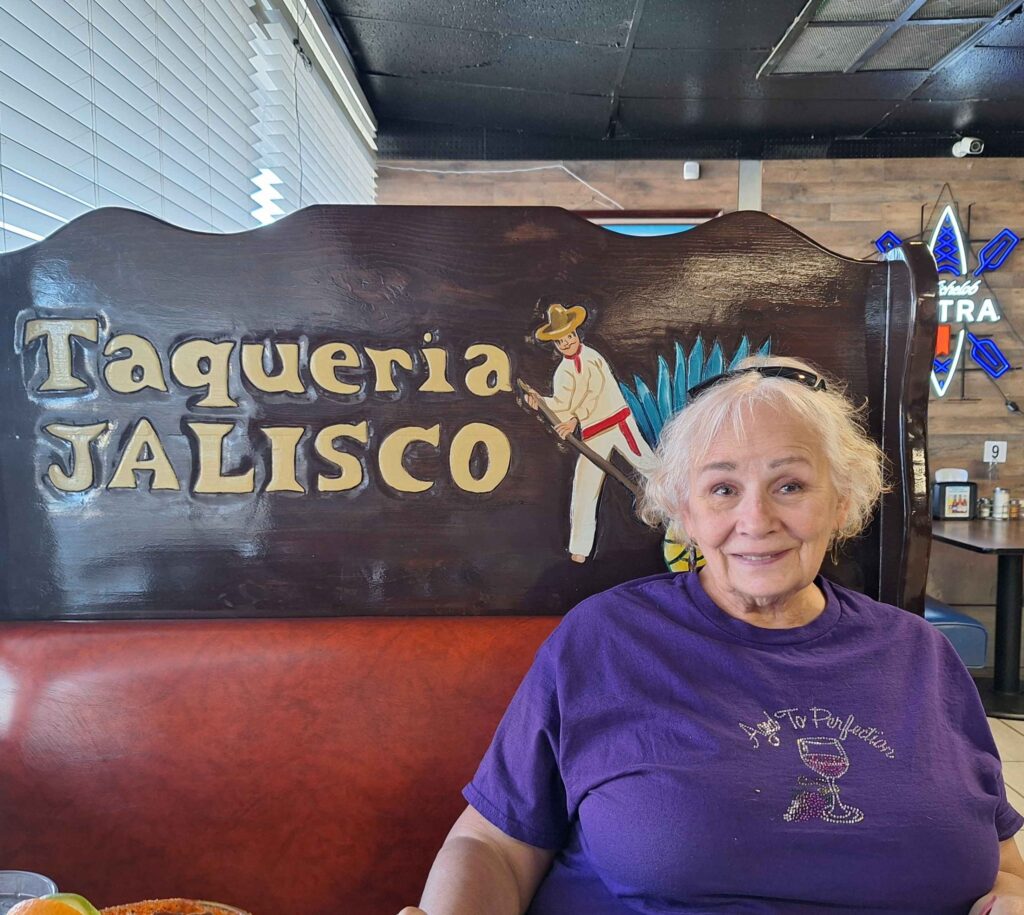
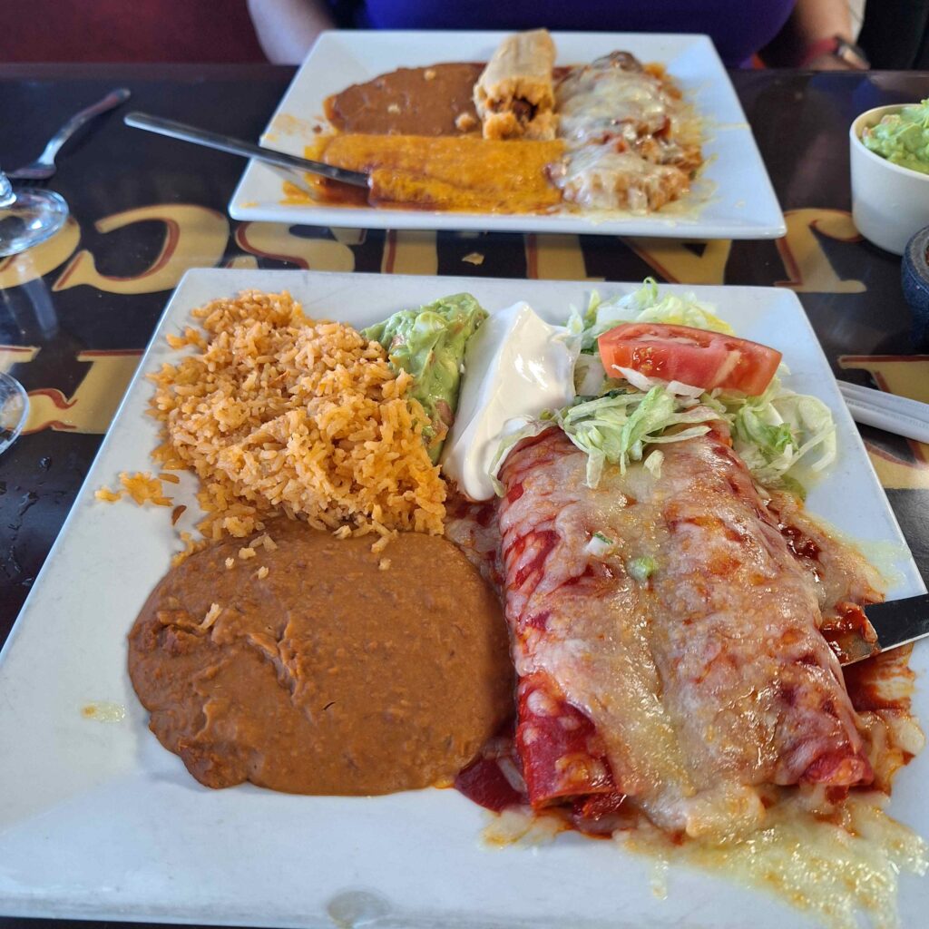
We did go out one night for dinner to the Taqueria Jalisco, which was just outside the campground.
Just a note regarding the weather: it has been awesome during this trip. We have had dry, warm days. It did get cold overnight at Carlsbad (into the 40’s), so the mattress heating pad was used. Glamping at its best.
Leave a Reply