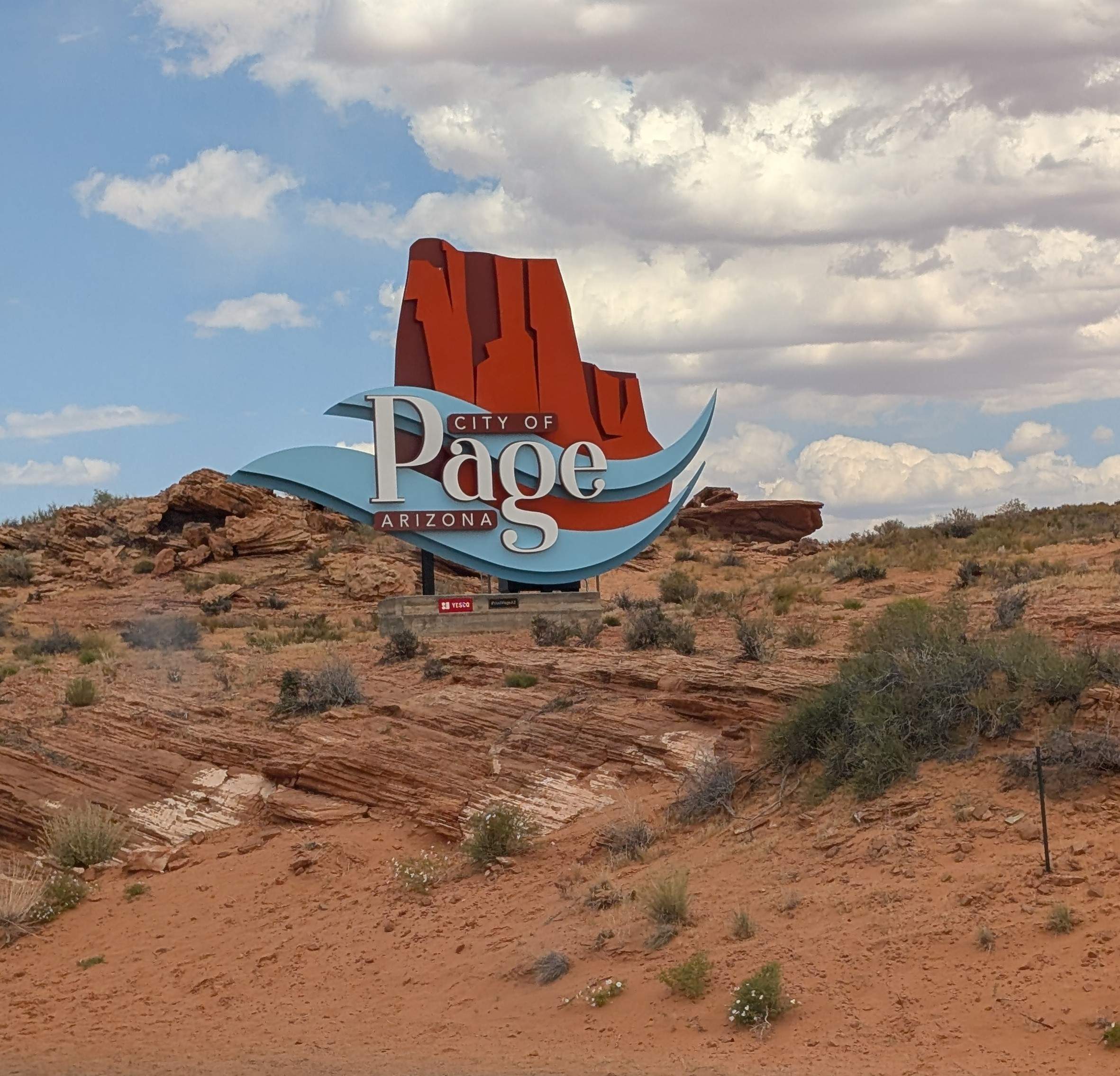
Good-by Williams. Our next campground would be in the Glen Canyon/Lake Powell area north of Page, AZ.
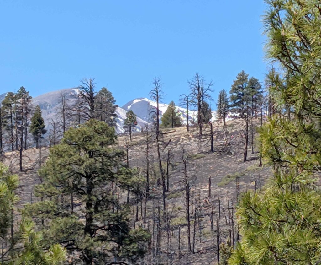
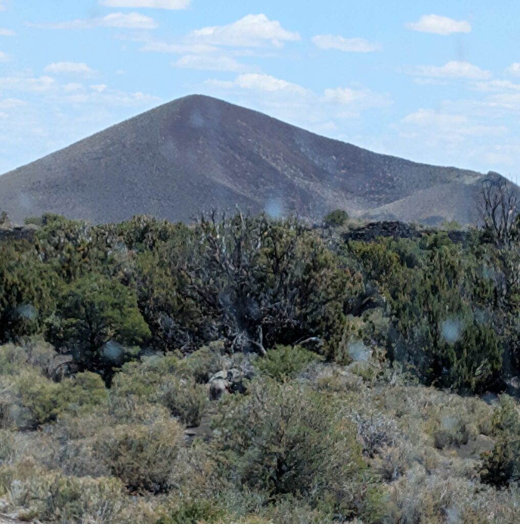
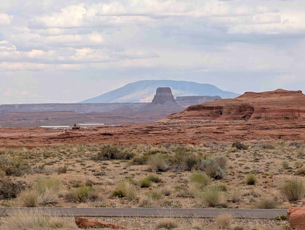
We drove toward Flagstaff and the San Francisco Mountain. We could see Humphrey’s peak from many different places on the trip.
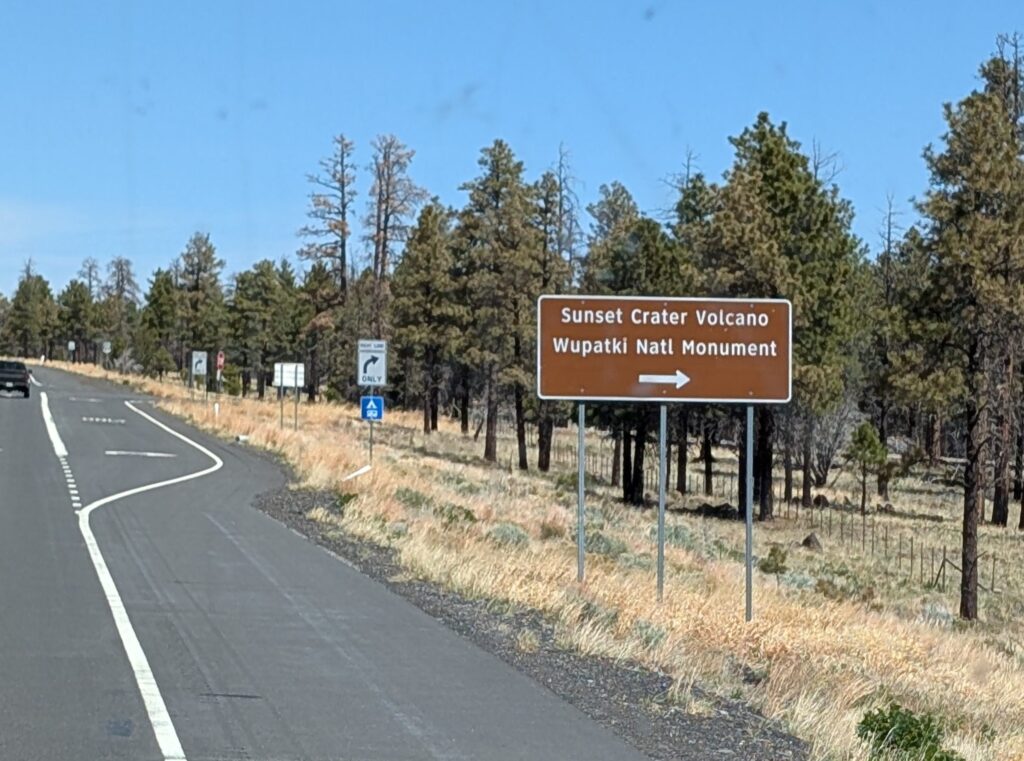
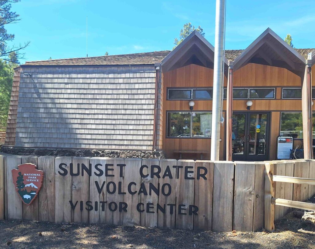
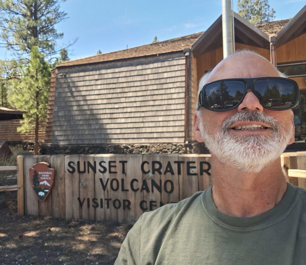
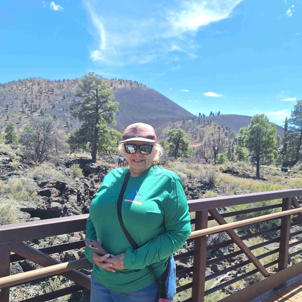
We stopped at a pair of national monuments: Sunset Crater Volcano and Wupatki. The two national monuments are connected by a road (Loop Road).
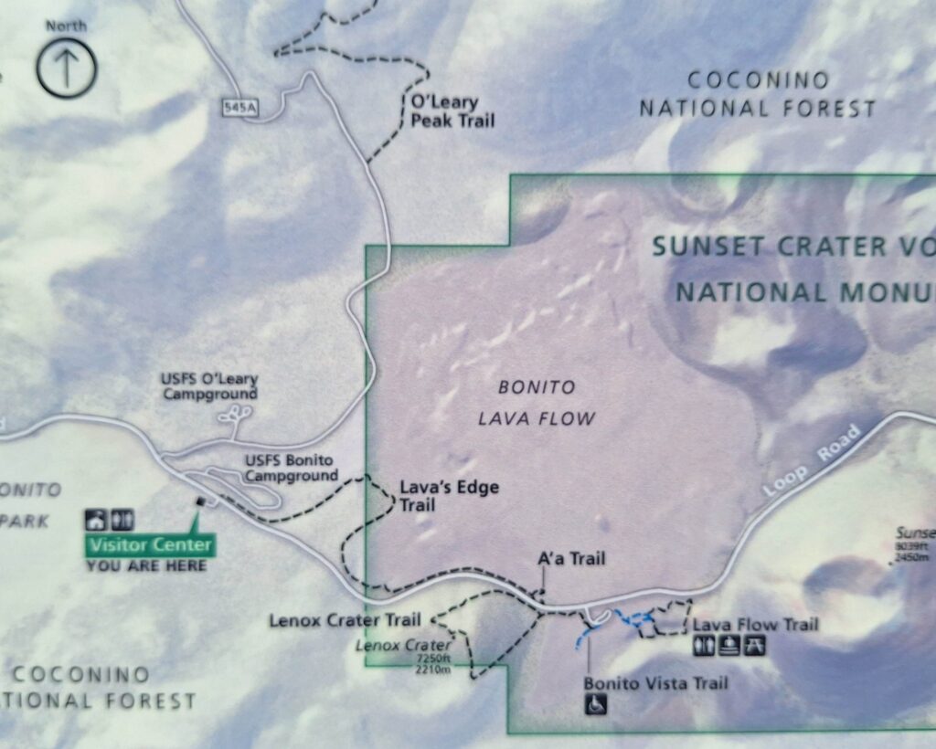
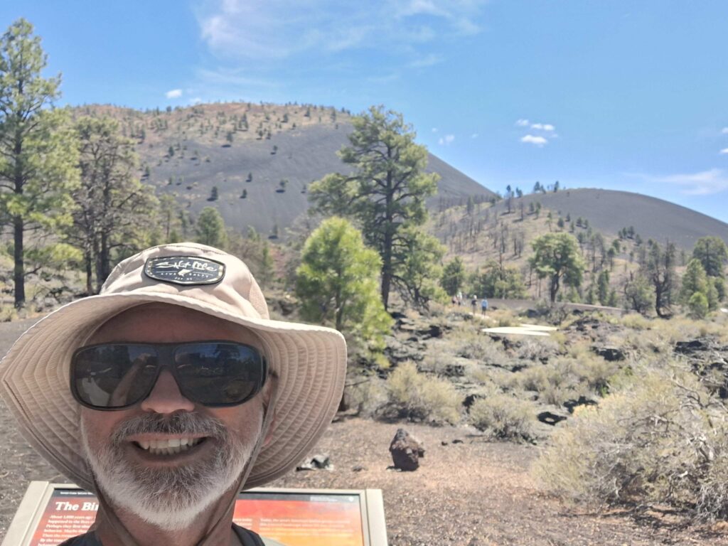
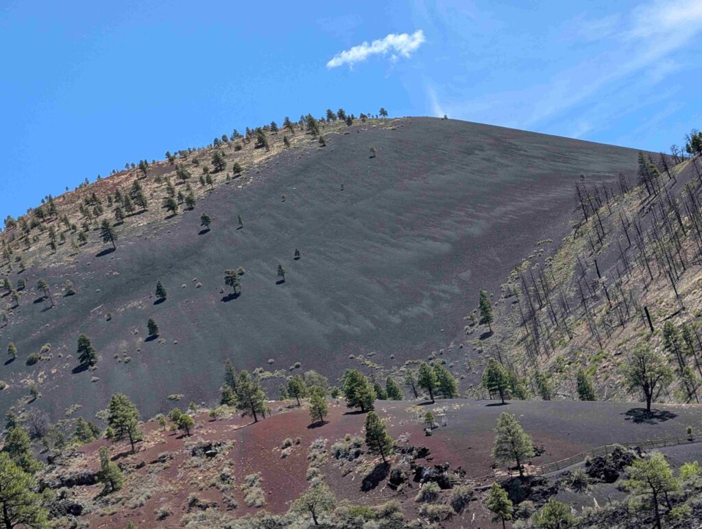
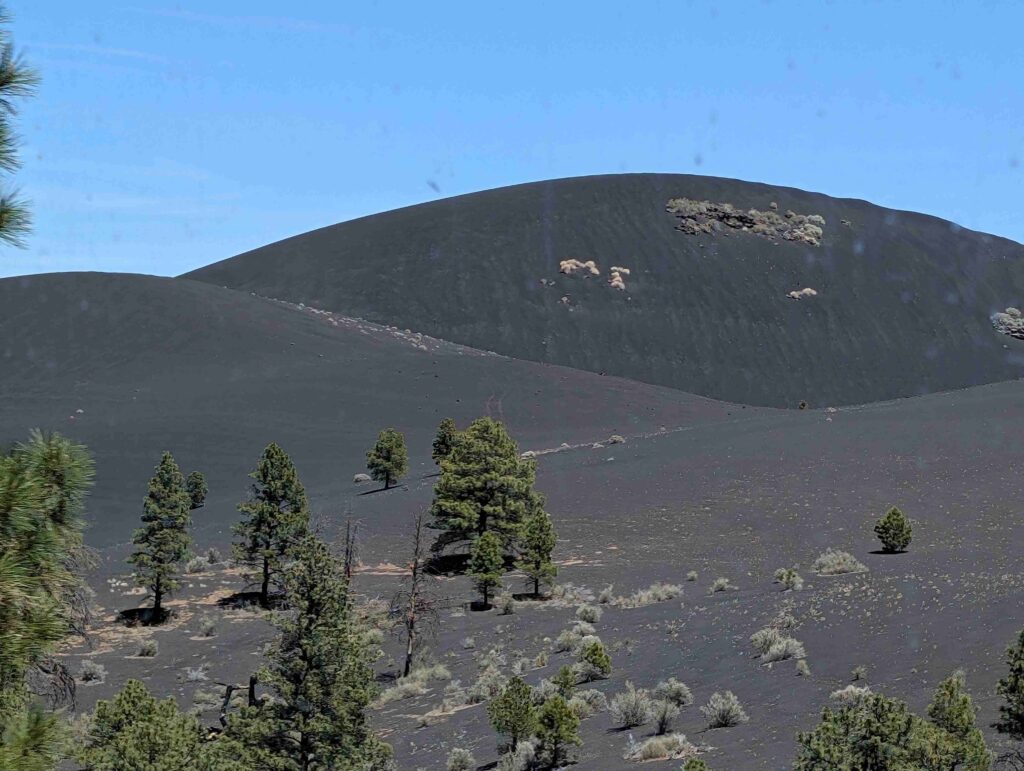
Sunset Crater Volcano is an area affected by a volcano eruption around 1100 AD. Lava flows and cinders from the eruption covered around 800 square miles. V: some of the info from other NPS pueblos in the area suggest this particular eruption was witnessed by many tribal people from this area and sent them on their migration to other areas of present-day Arizona.
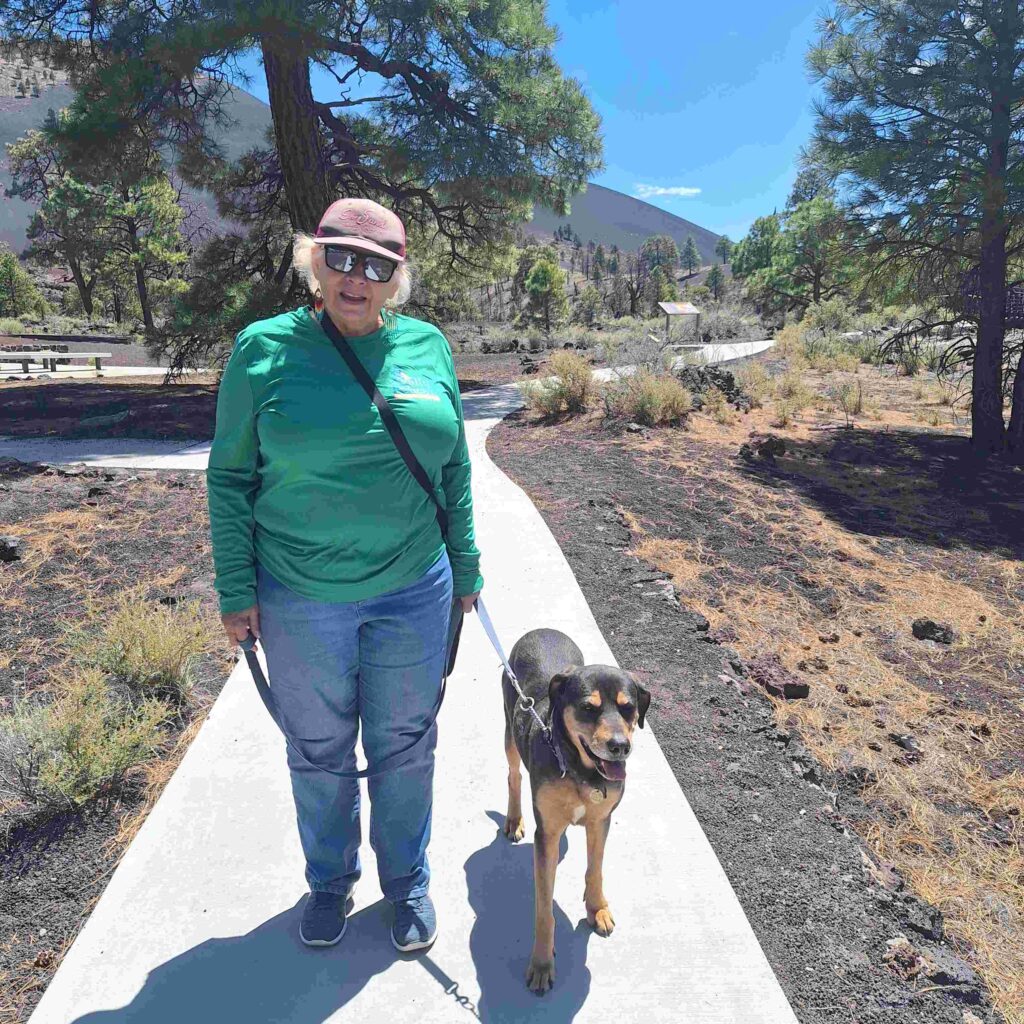
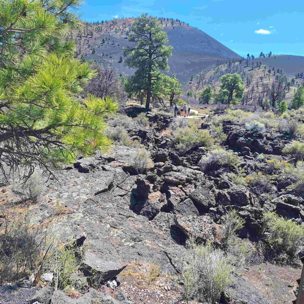
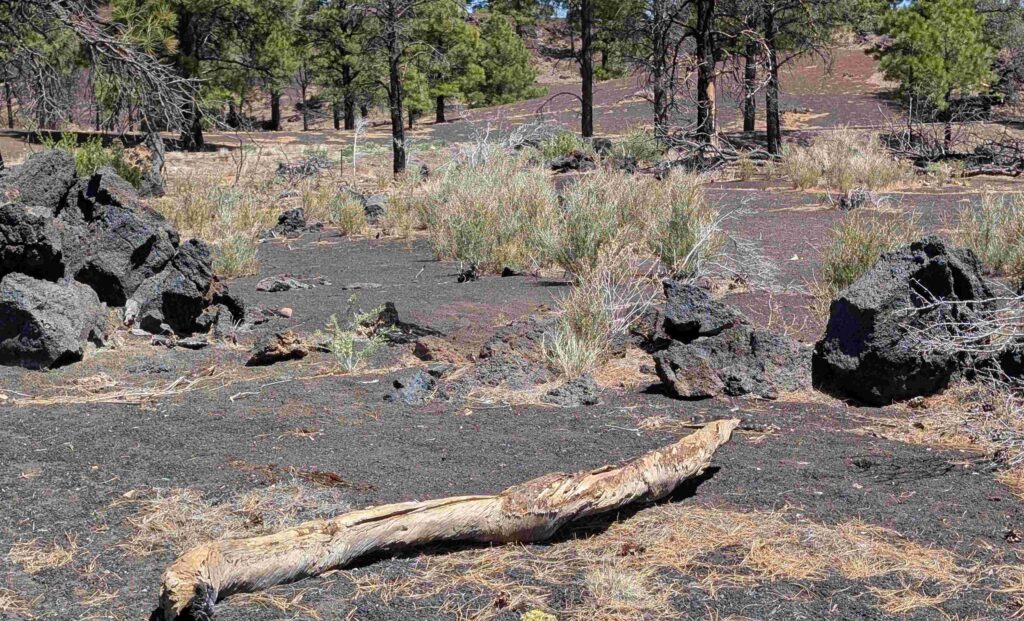
The three of us hiked the short Lava Flow Trail, which gave us a great view of the Sunset Crater and lots of lava…
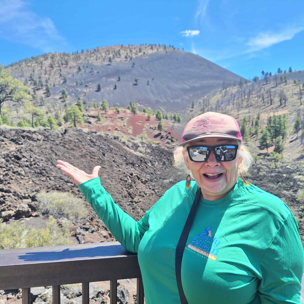
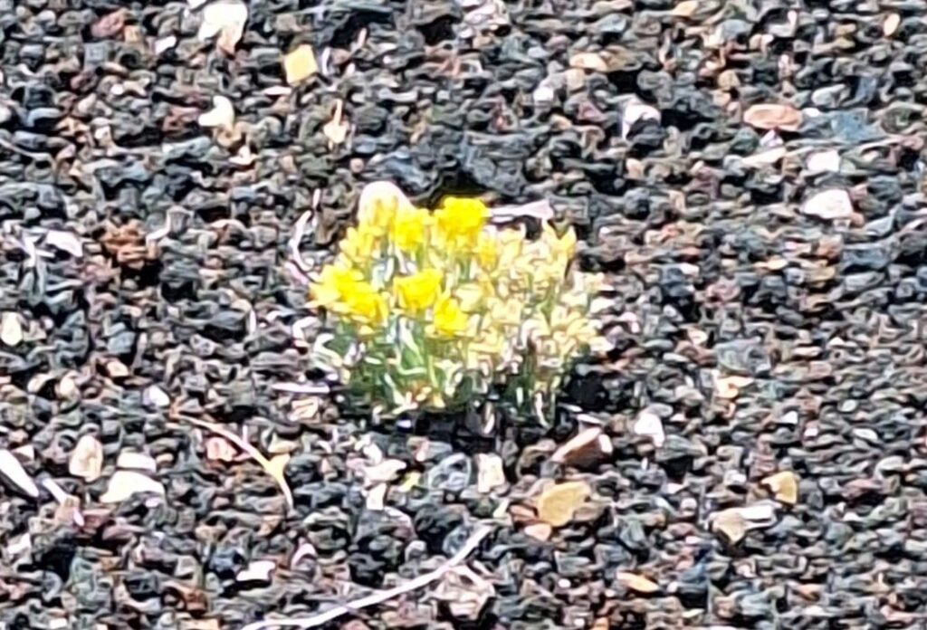
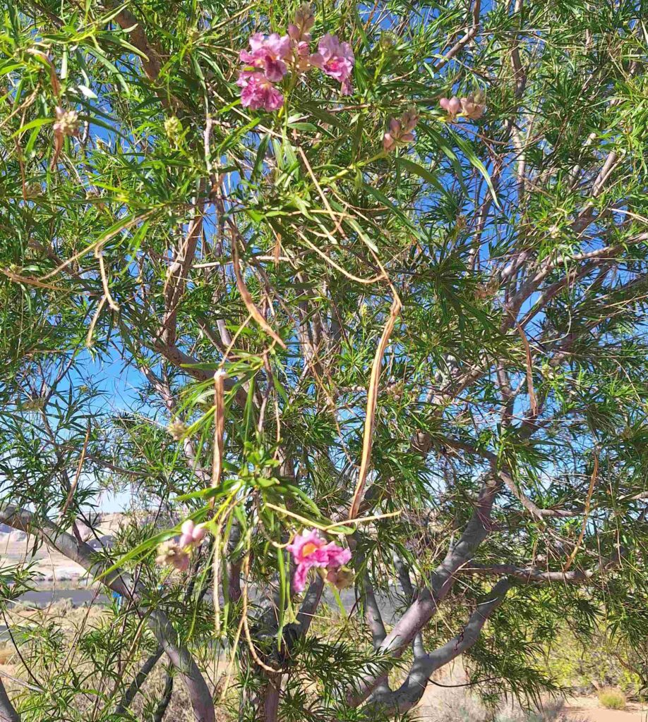
It is spring by Sunset Crater and there were several wildflowers in bloom.
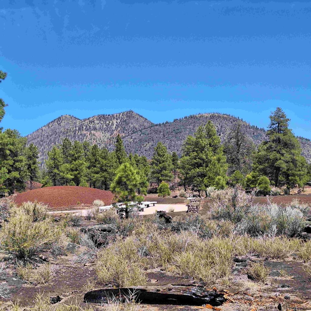
We continued to see lava and cinders as we drove the Loop Road from Sunset Crater to Wupatki.
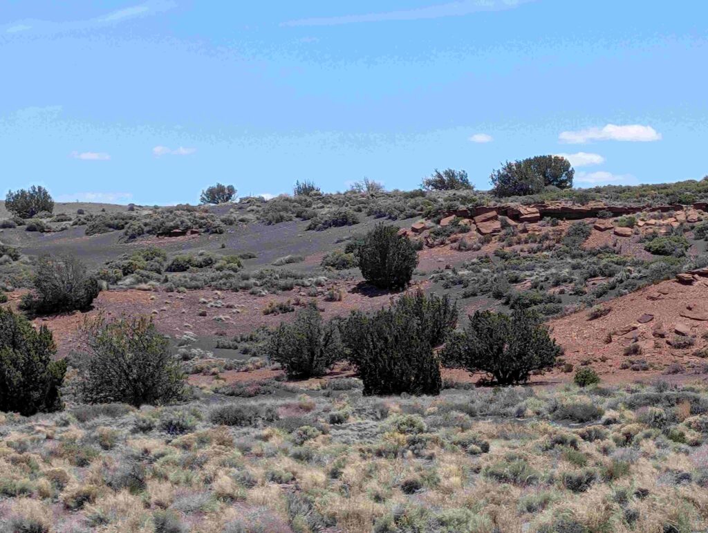
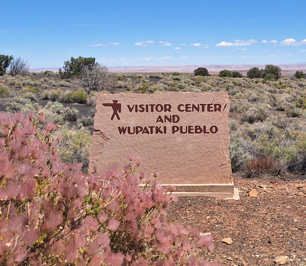
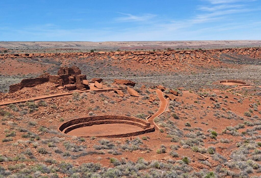
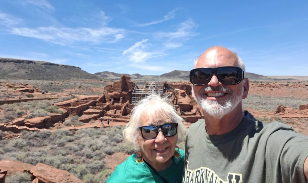
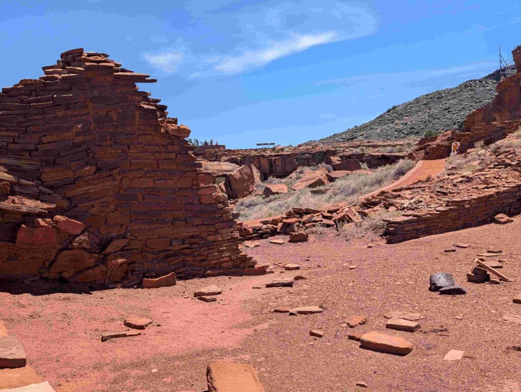
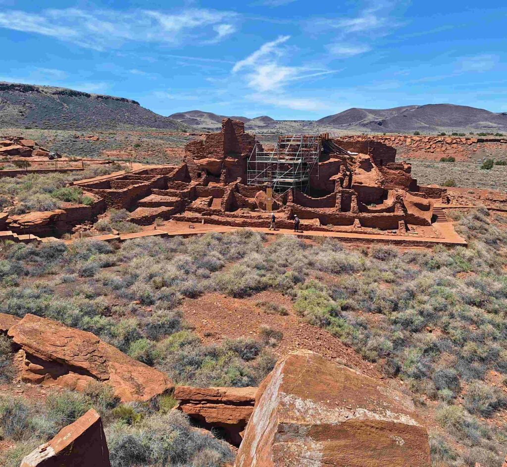
Wupatki Pueblo is the remains of a native American building/village that grew after the volcano eruption. The cinders from the volcano formed a mulch that enhanced the growth of crops.
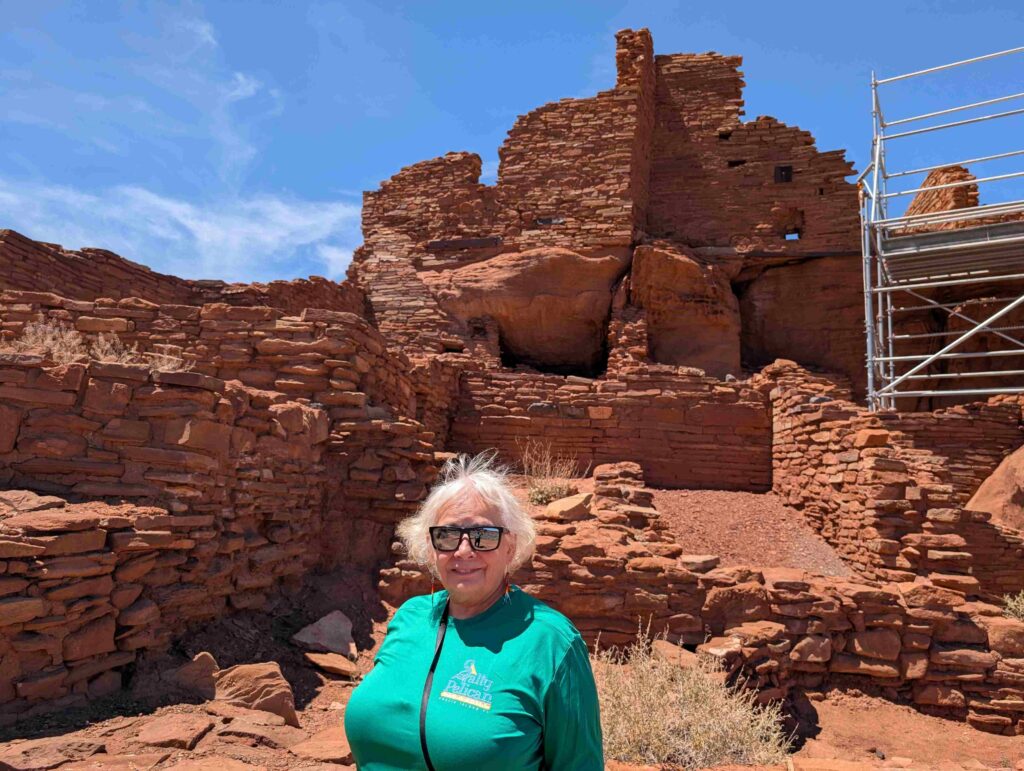
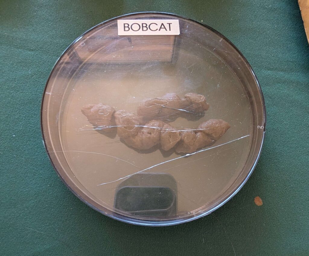
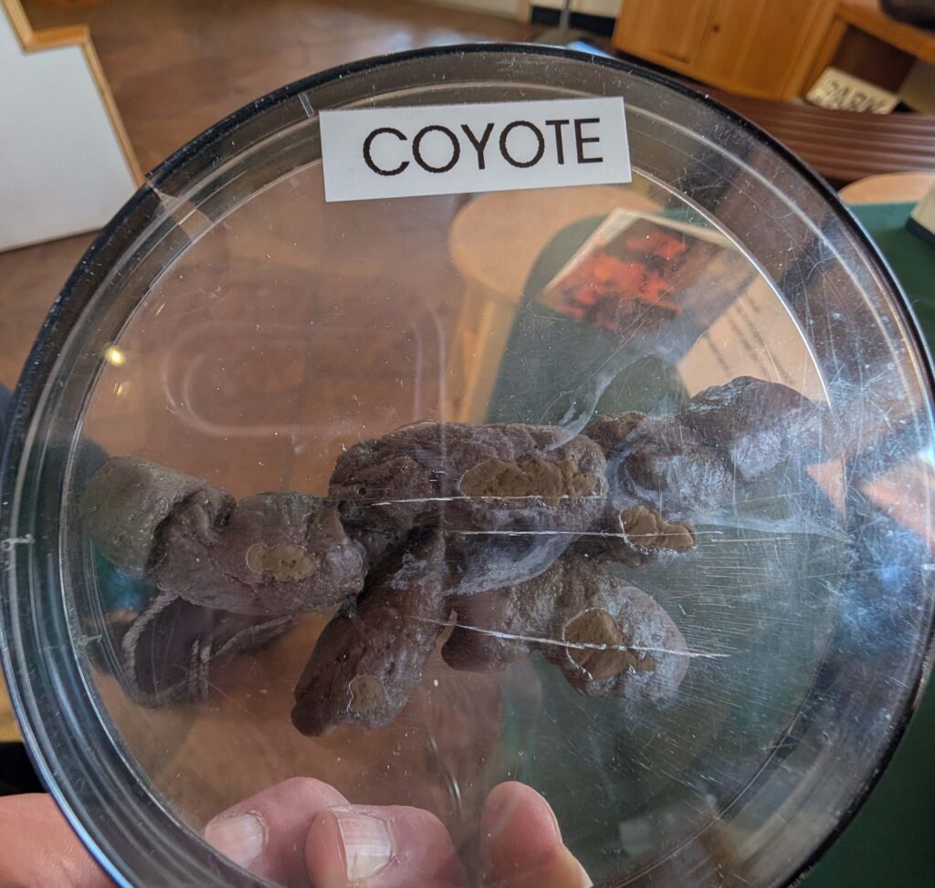
The visitor center had information about the local inhabitants, including some four-legged varieties. V: the scat pictures are especially for our grandson Evan. At 10.5 yo, his favorite jokes, stories, etc. are about “scat” although he uses other words.
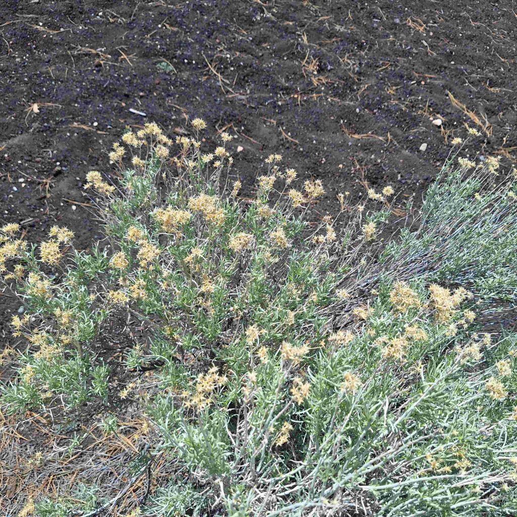
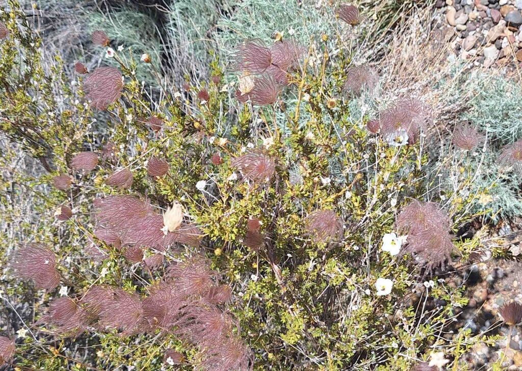
Spring flowers were also in bloom at Wupatki:
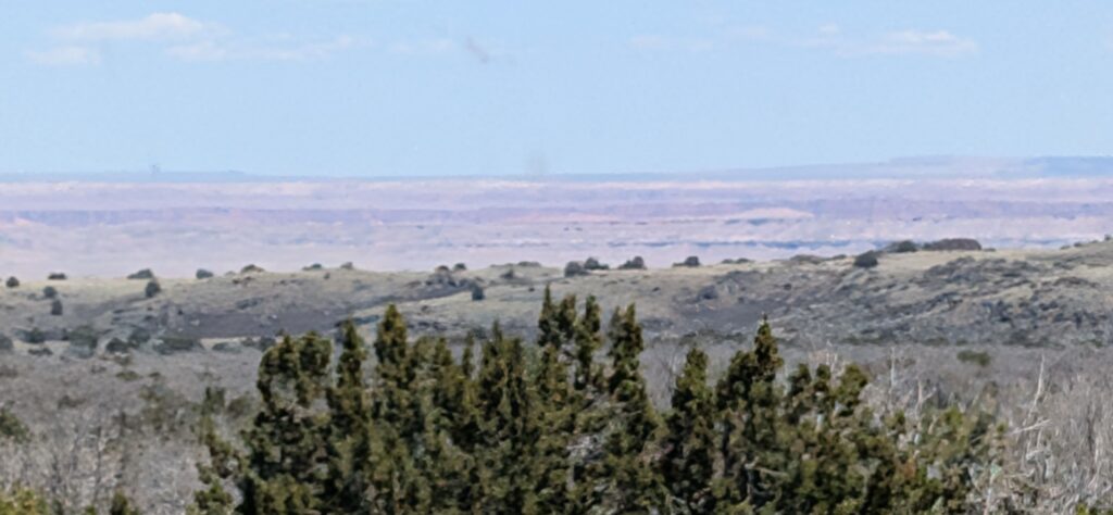
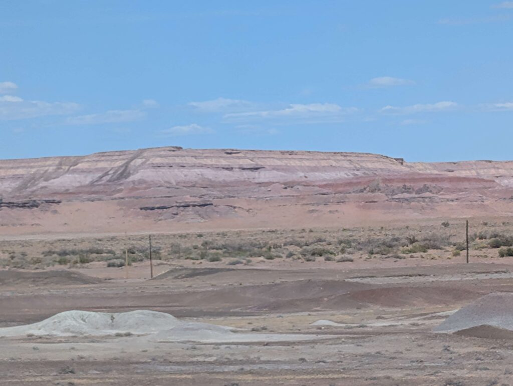
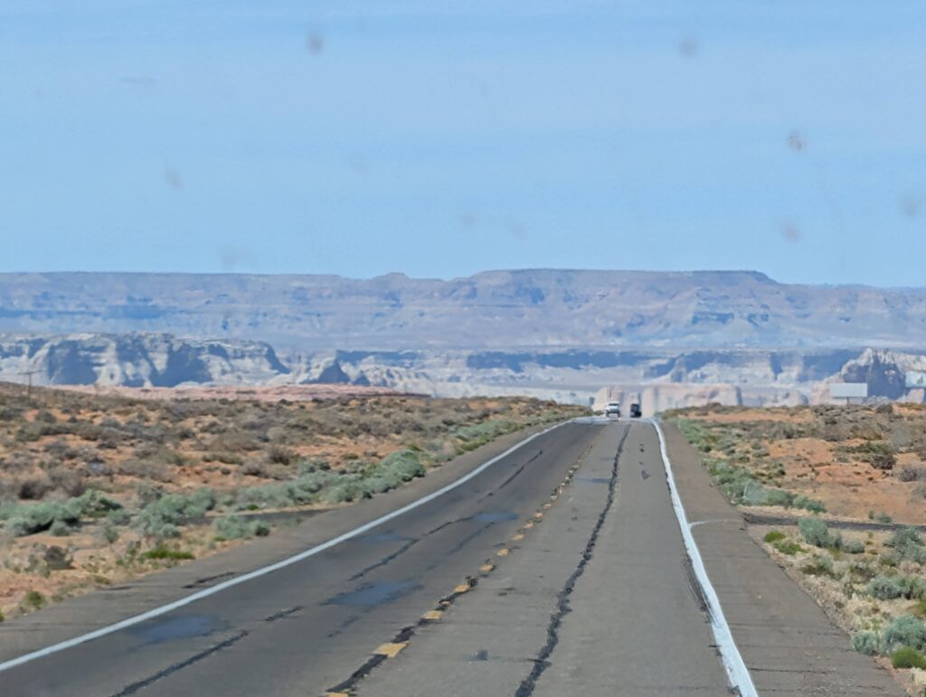
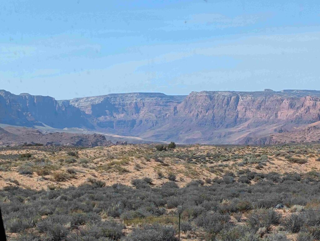
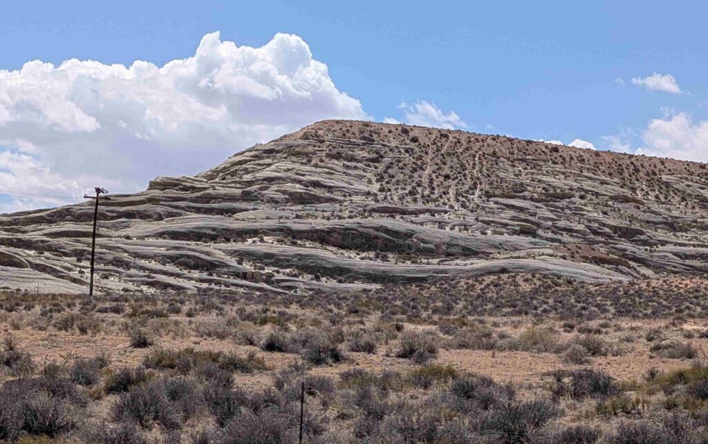
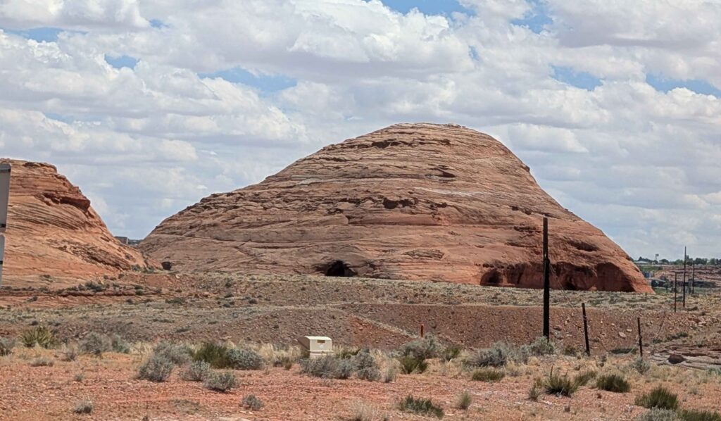
We continued driving north from Flagstaff up to Page, AZ. This included driving into a painted desert that started to be visible near the Wupatki National Monument.
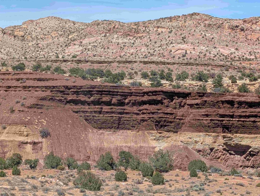
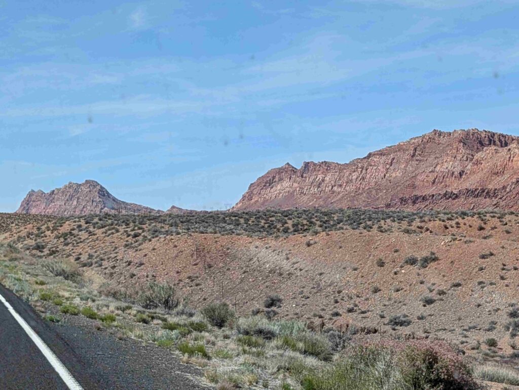
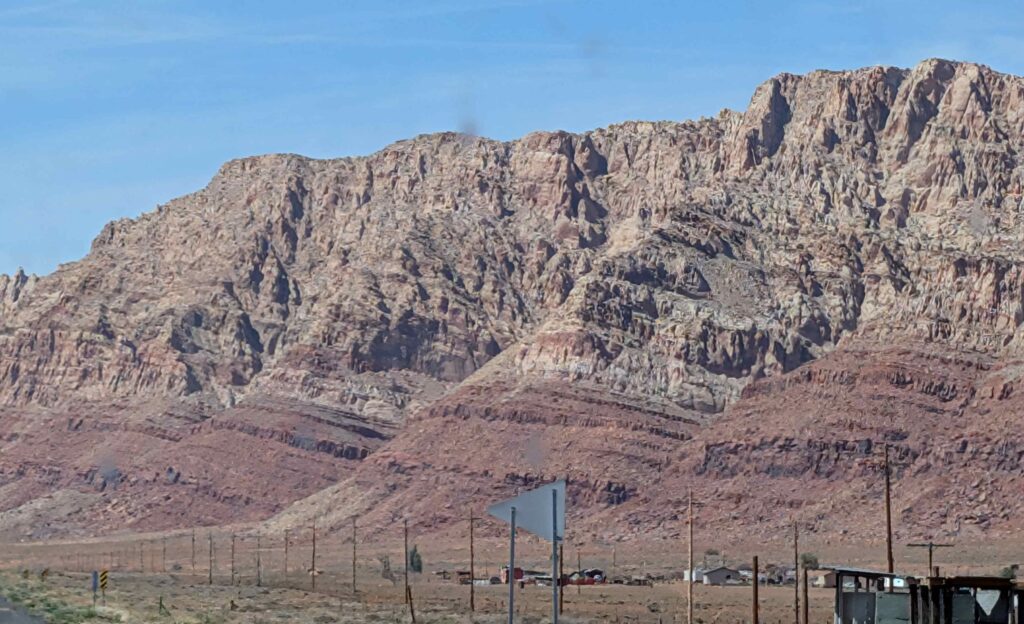
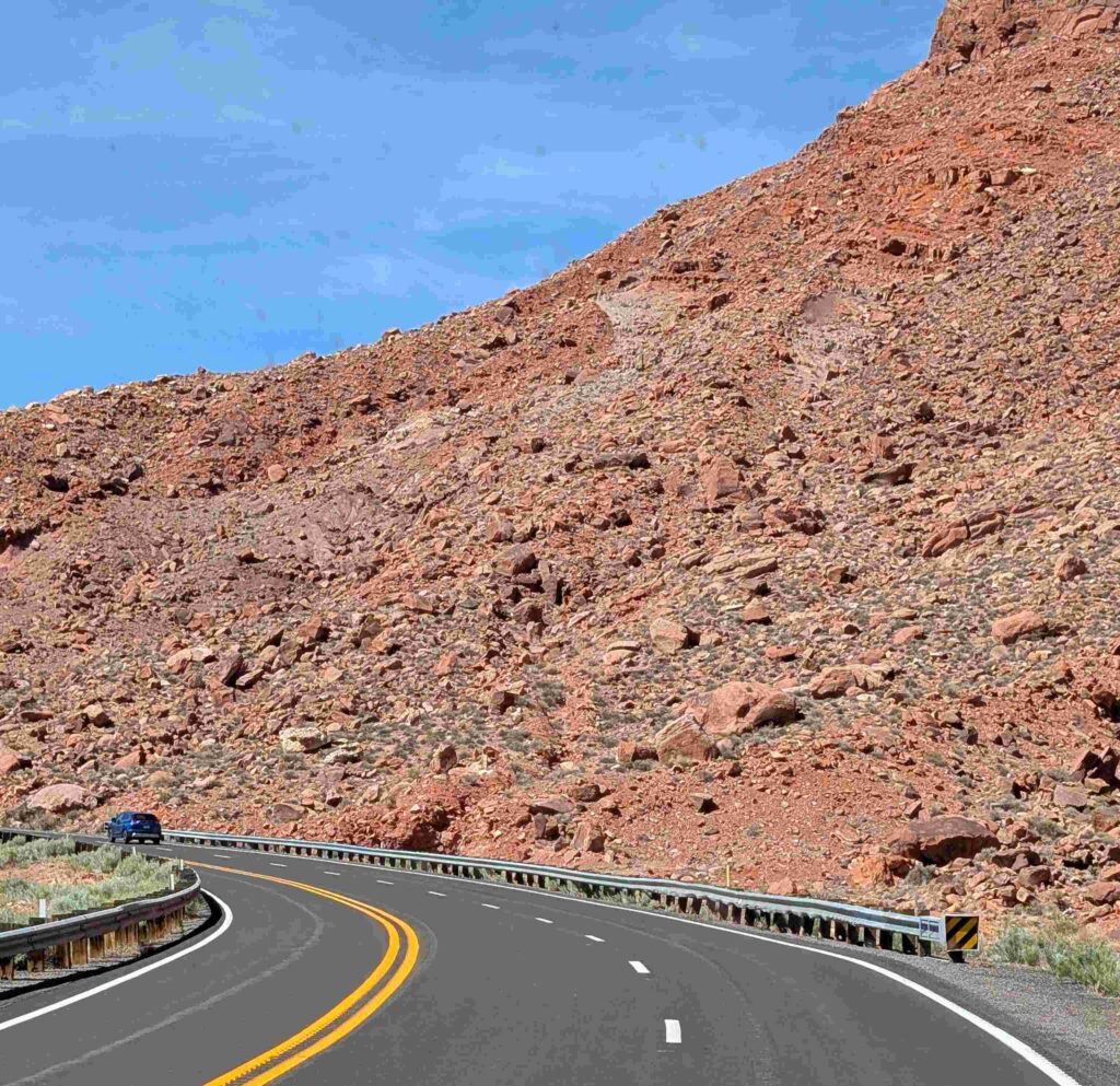
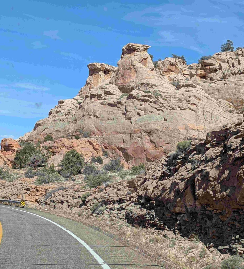
We then drove the RV up a mesa wall at the edge of the painted desert. Sharp inclines, sharp curves. The RV slowly and loudly made its way up.
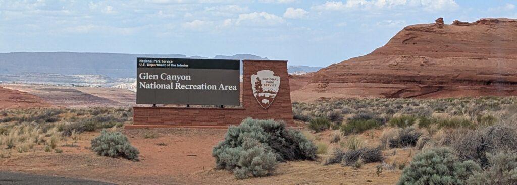
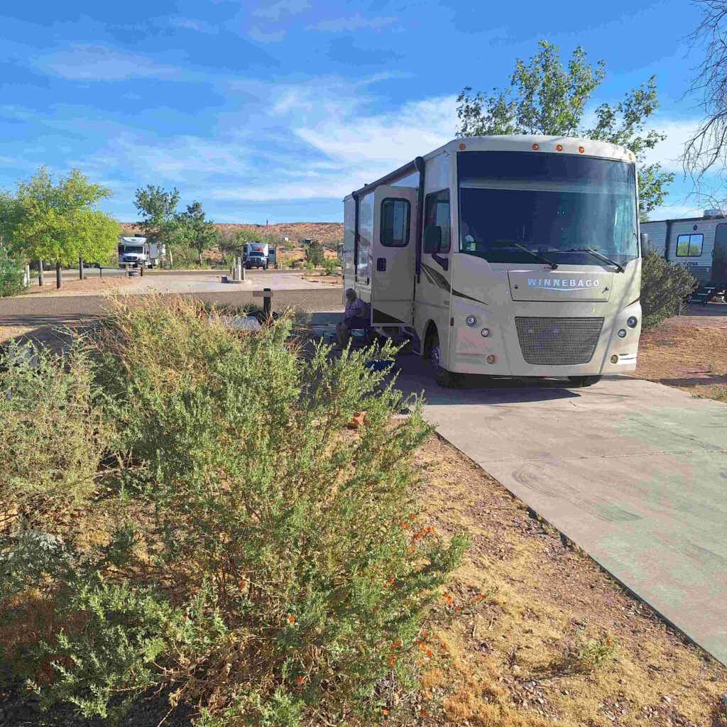
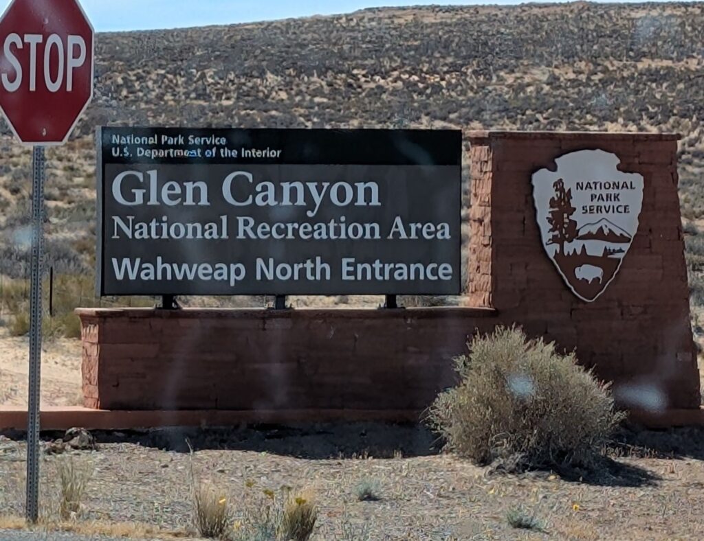
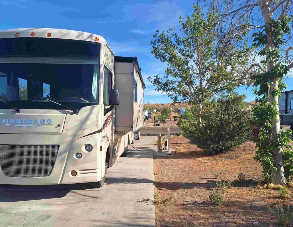
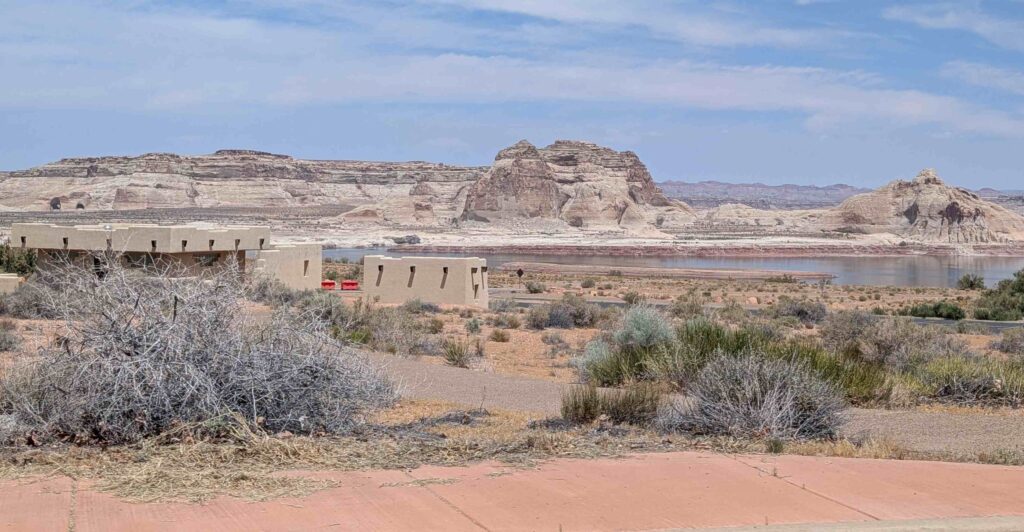
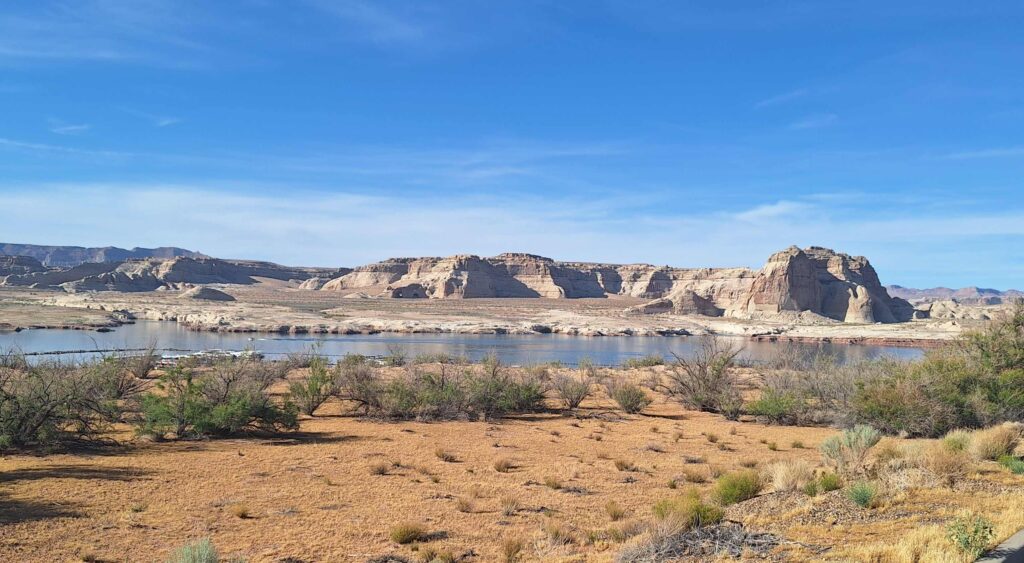
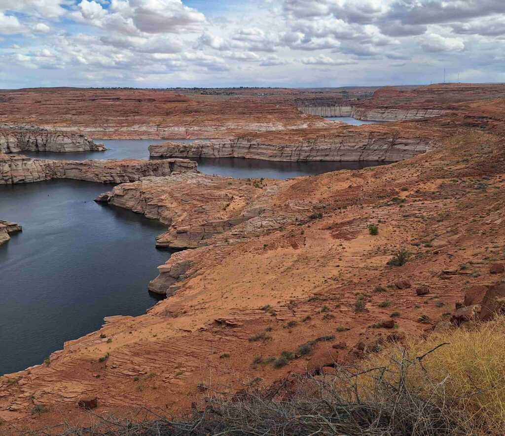
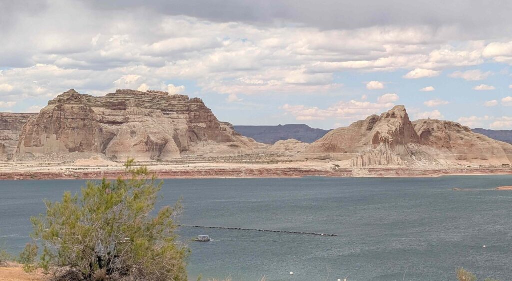
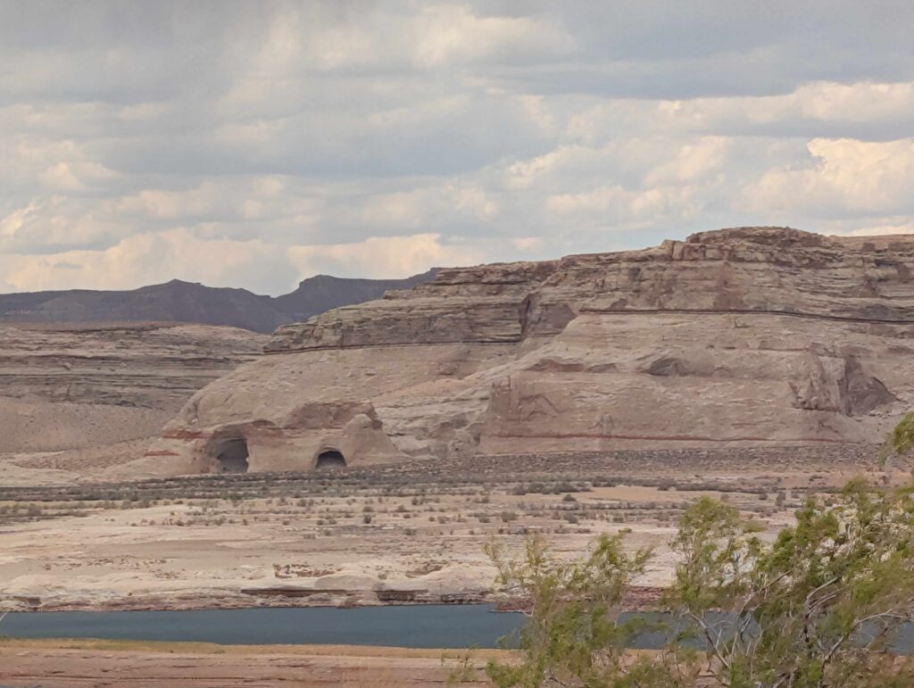
We arrived at Wahweap RV park, which is part of the Glen Canyon National Recreational area. We are in the midst of Glen Canyon: the RV faces canyon walls that are across from (a diminished) Lake Powell. V: Wahweap park and Lake Powell straddle both AZ and Utah. We are spending more time in Utah than I had thought we would.
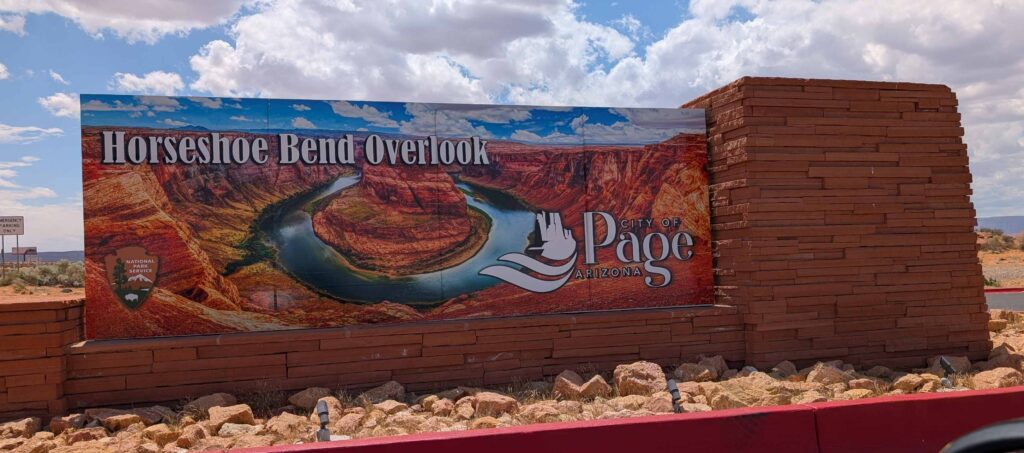
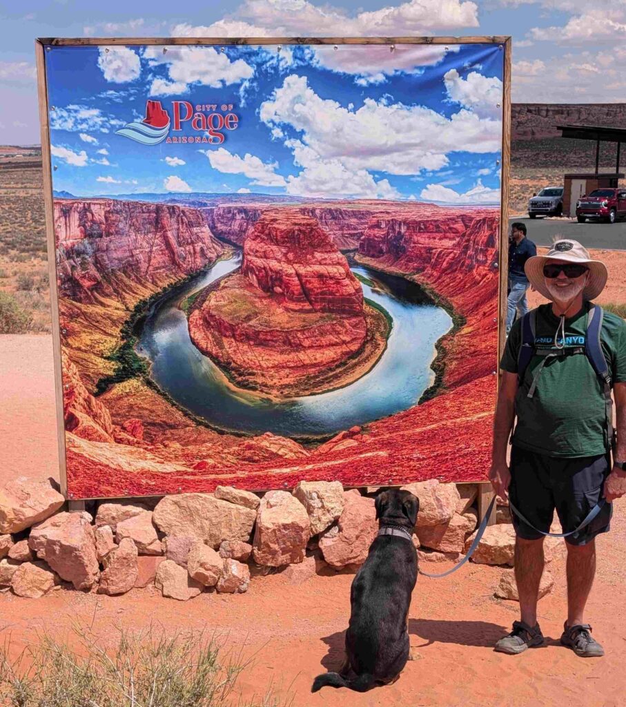
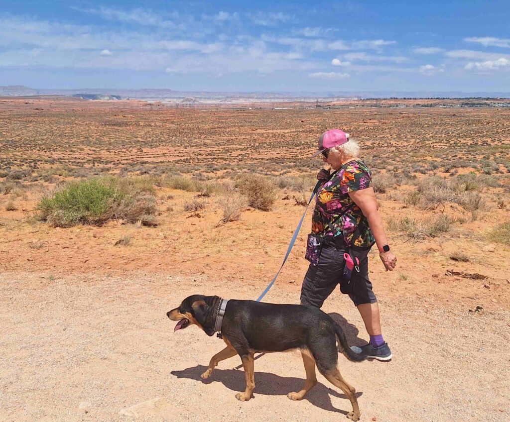
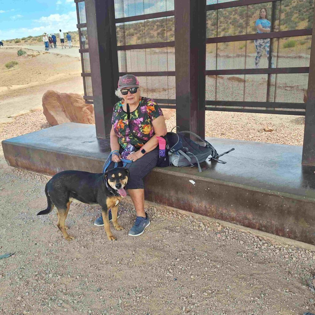
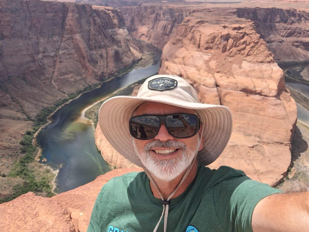
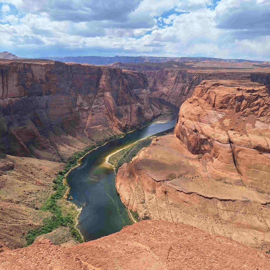
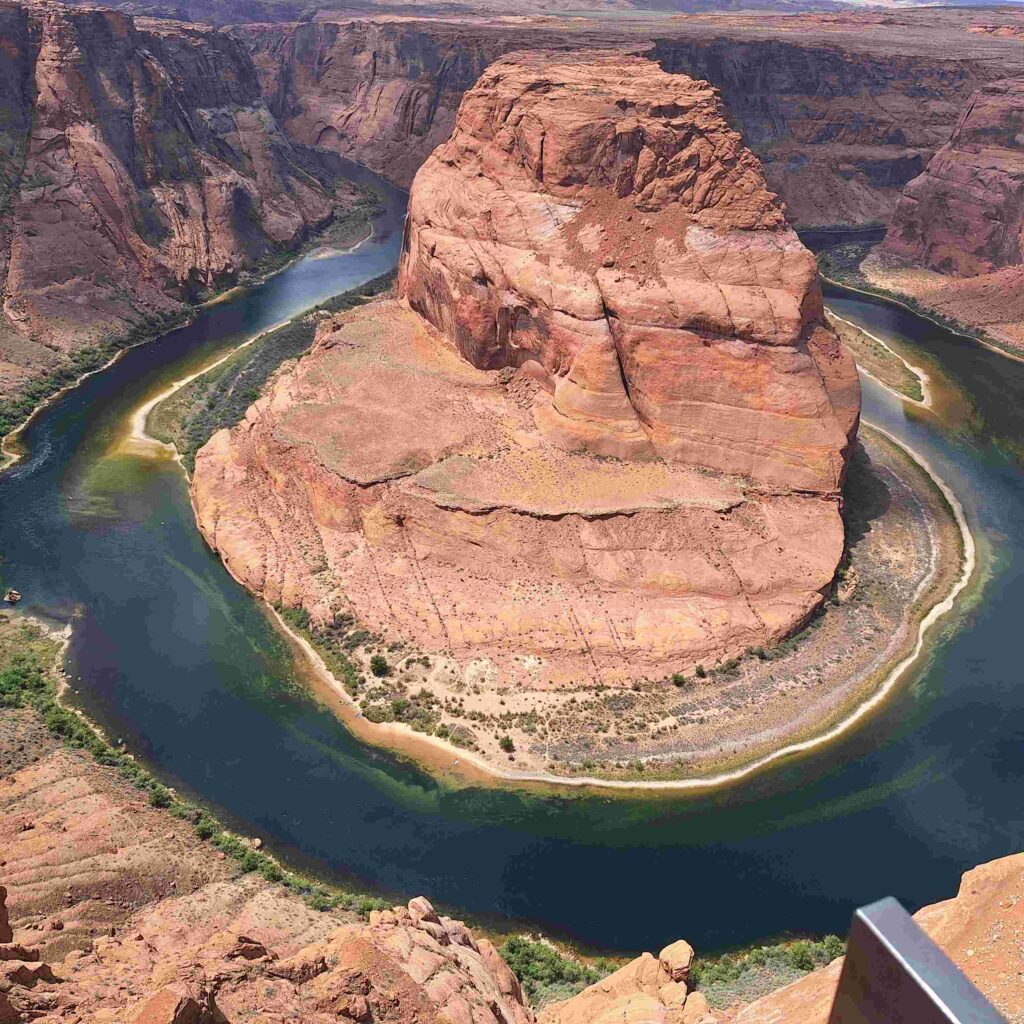
Our Glen Canyon adventure consisted of visiting Horseshoe Bend, a very scenic (and popular) part of the Colorado River where the river almost surrounds a large (tall) butte.
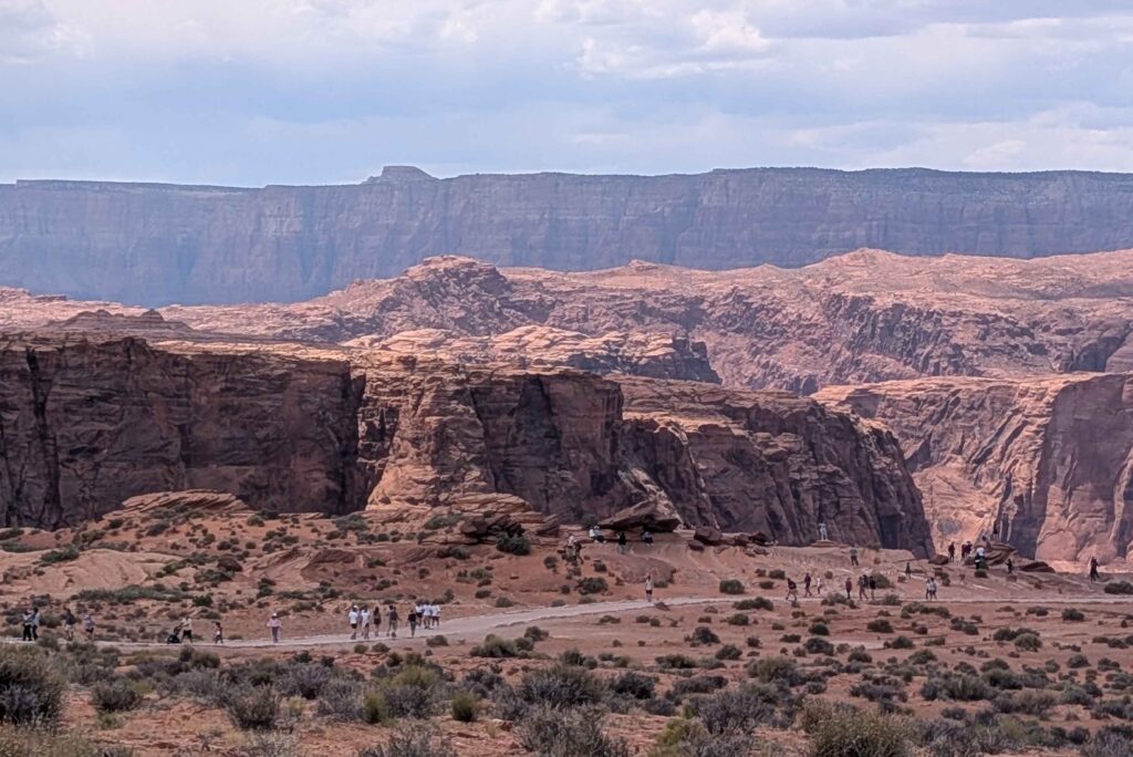
Steve walked to the edge to see the Colorado River and to see the tiny little kayaks in the river. He did go off-path for a moment to try for a better picture, but he quickly crawled back to the path.
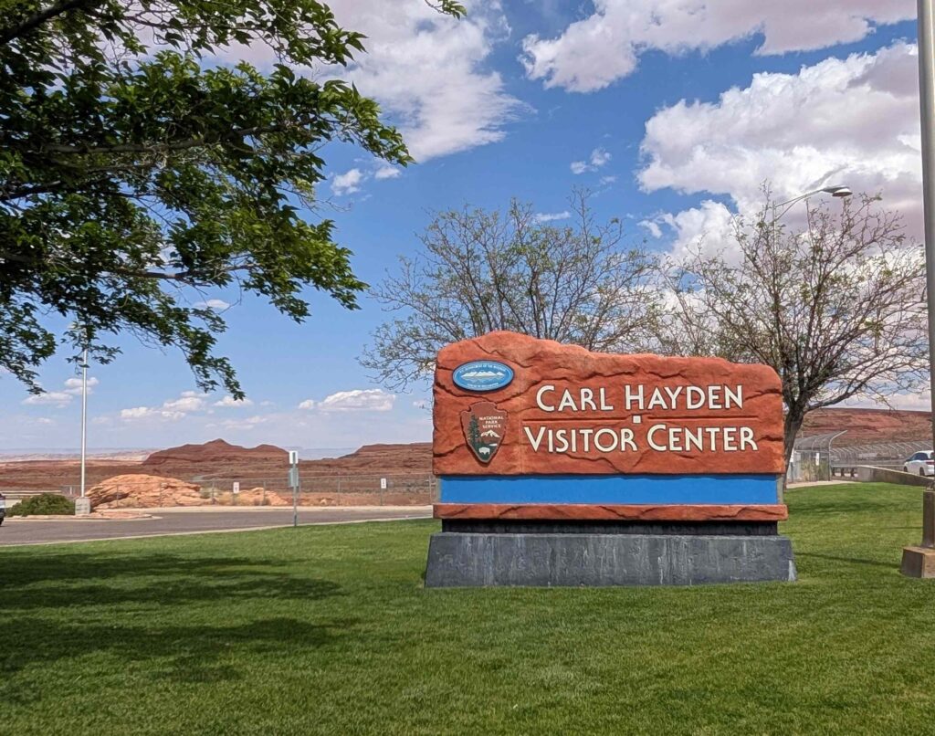
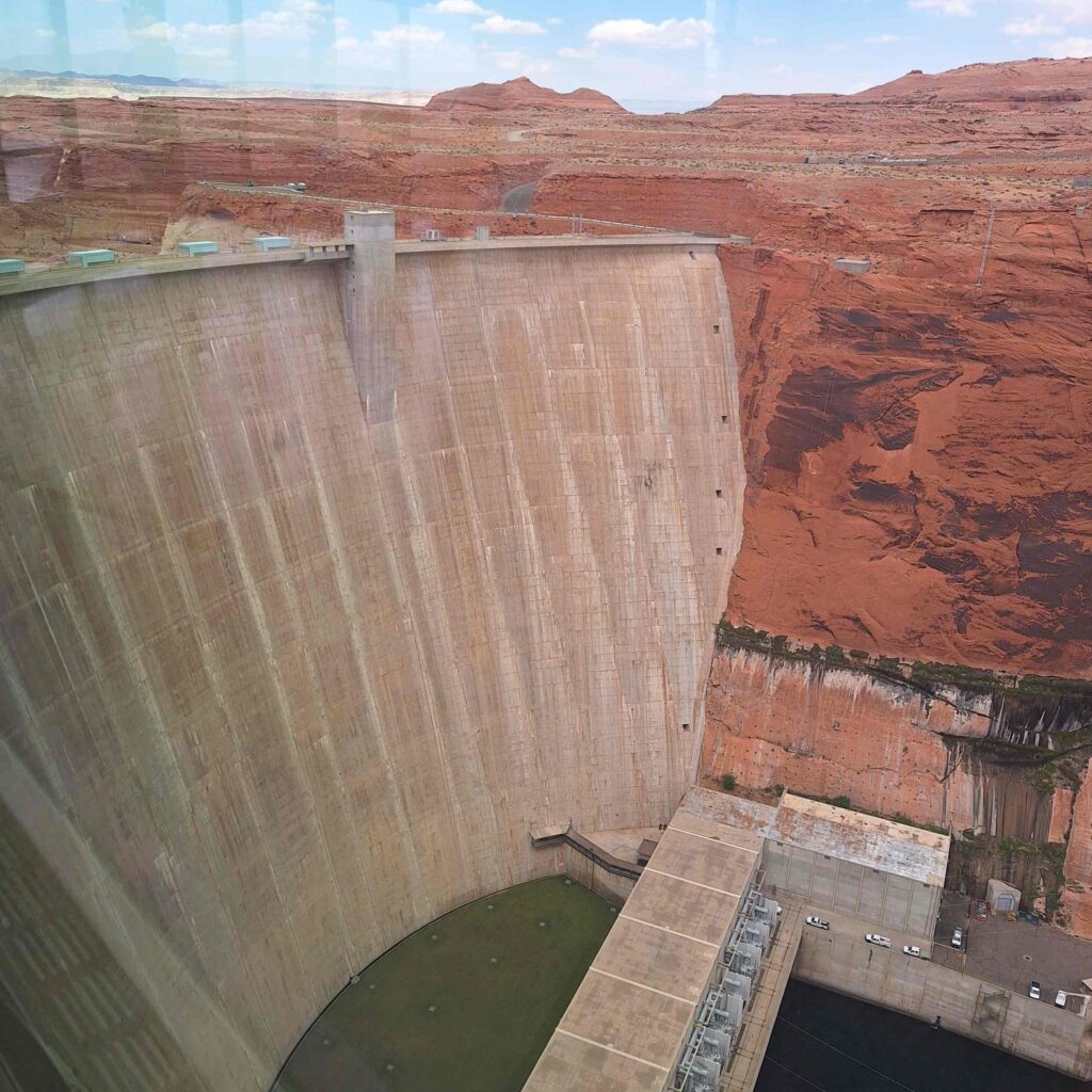
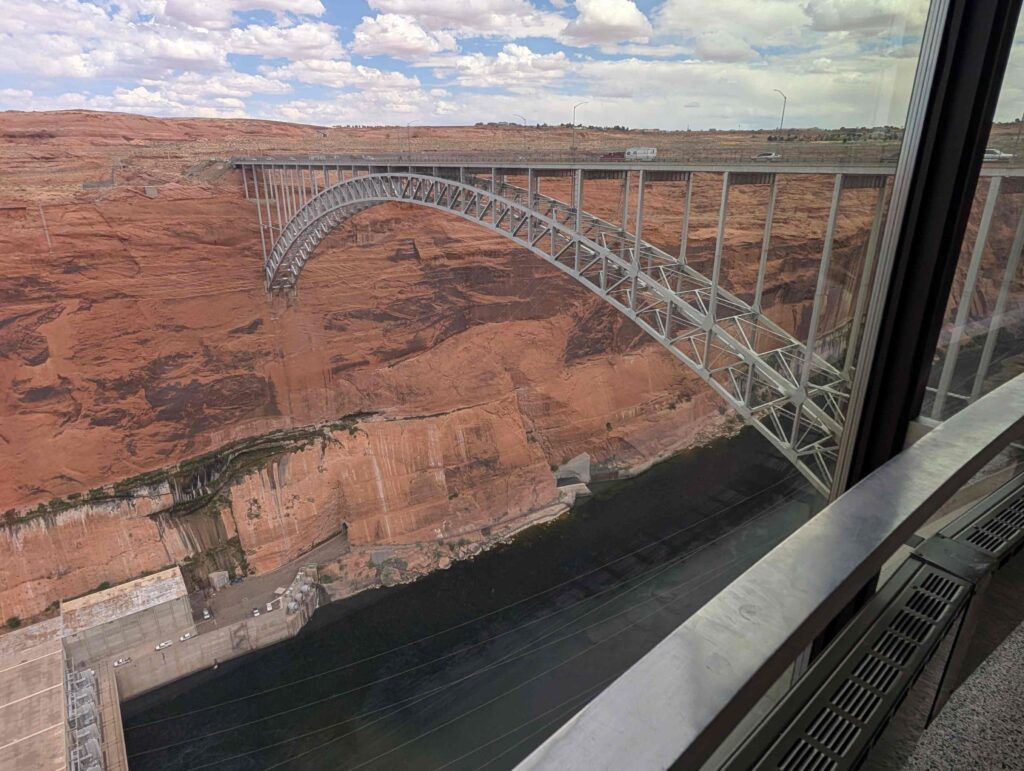
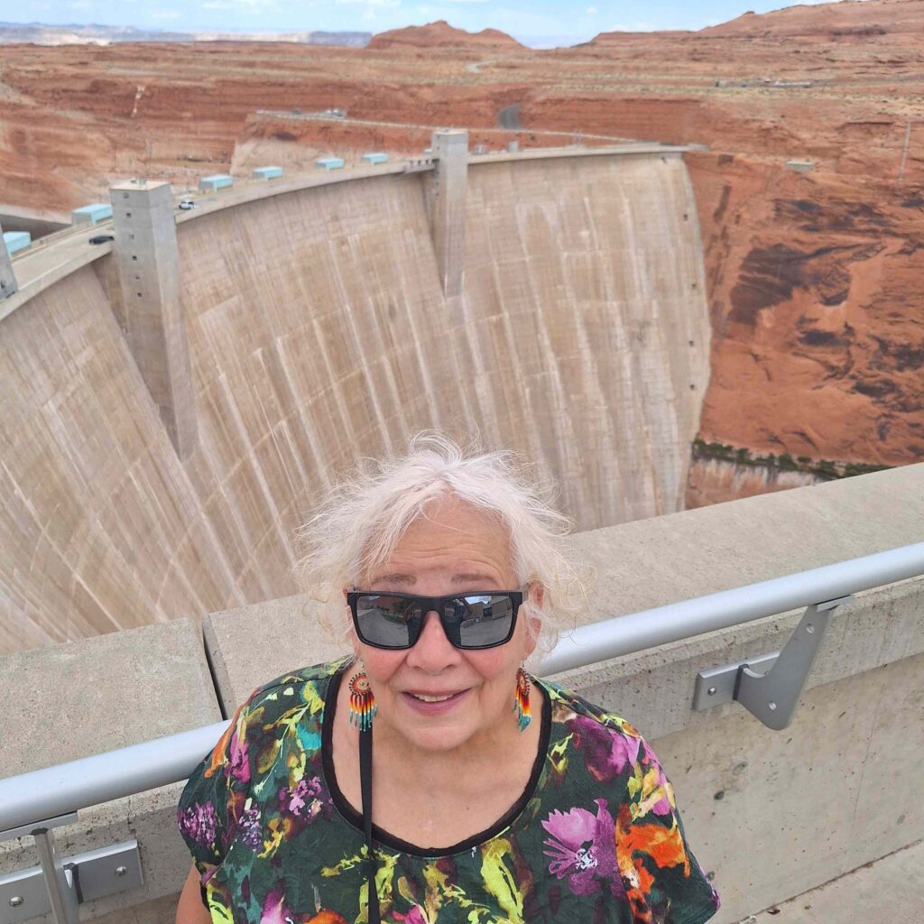
After Horseshoe Bend we went to the Carl Hayden Visitor Center to see the Glen Canyon Dam, the structure responsible for creating Lake Powell and providing electricity for the area. (AZ, NM, UT, TX, WY, NV, CO).
It is definitely a huge structure, and the canyon behind it is still picturesque even if flooded with water.
And as we were leaving the dam area, we think we spotted a California Condor (a big bird with long neck and whitish head.) We did take a route back to the campground that followed Glen Canyon.
Leave a Reply