We left Albuquerque on Monday morning, around 10am. We got gas for the RV outside of Albuquerque at a gas station we saw Sunday driving back from El Malpais. The scenery was very familiar even if we were about six feet higher this time.
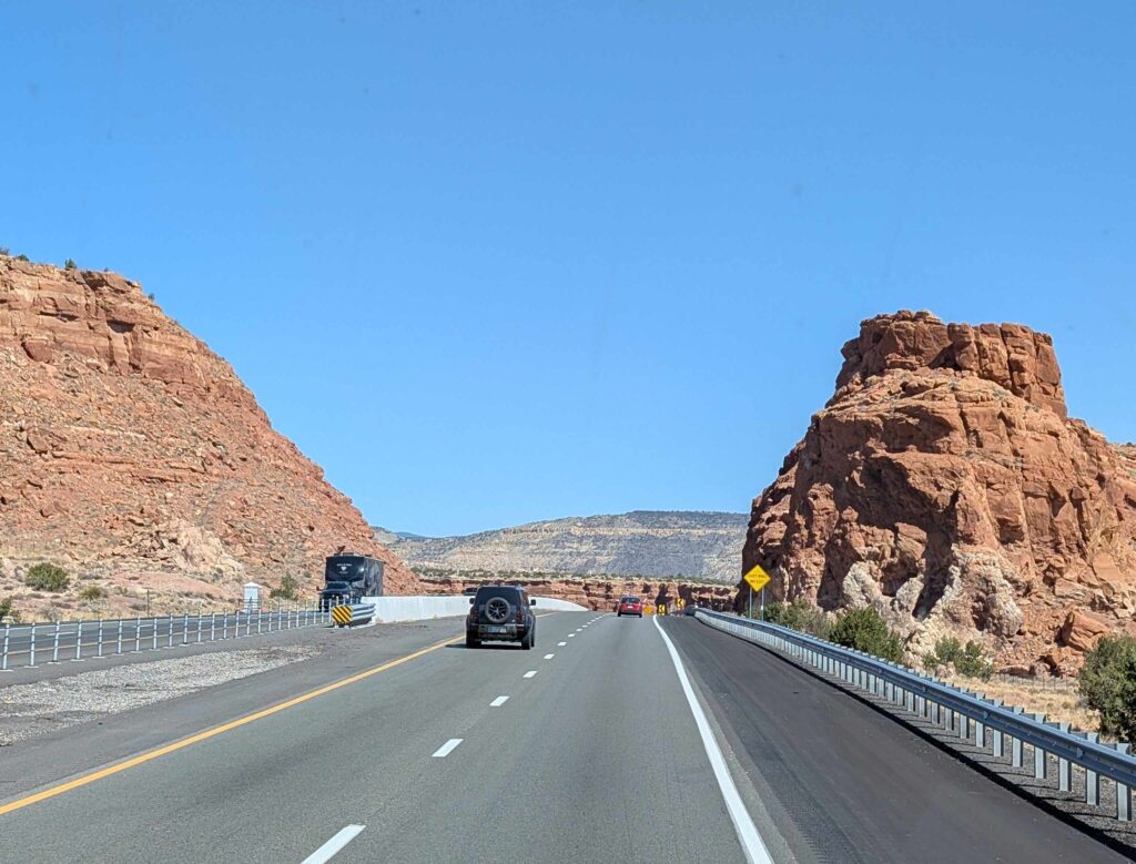
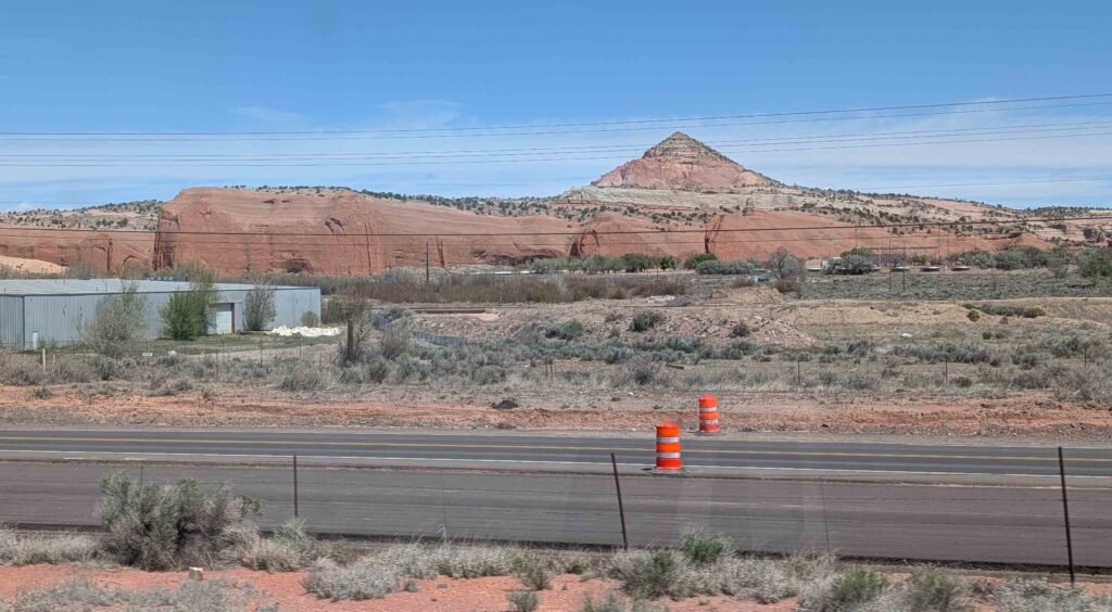
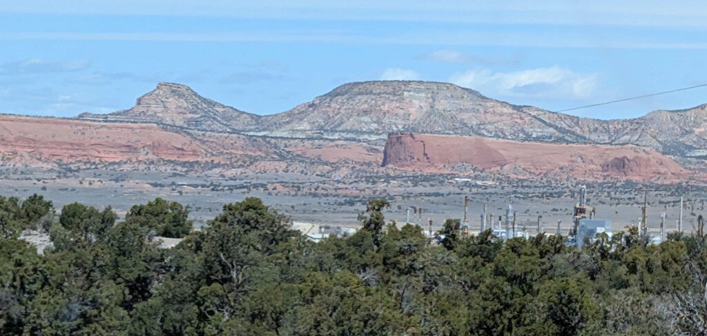
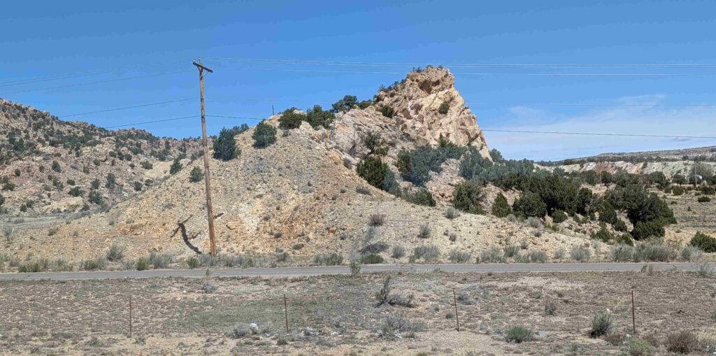
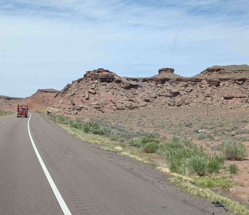
The scenery was changing as we went from New Mexico to Arizona: red was becoming a more prevalent landscape color.
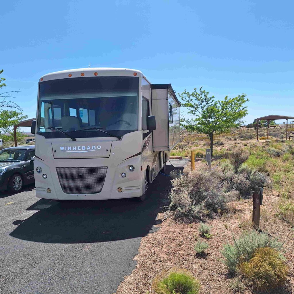
We drove straight to our campground so we could get off the road before the afternoon winds kicked in. The winds were much more manageable than Sunday’s windstorms but the winds still buffeted the RV around a bit. Steve noticed that the right lanes (truck lanes) were wider than the left lanes. Giving trucks a little more room for adjusting to the wind gusts?
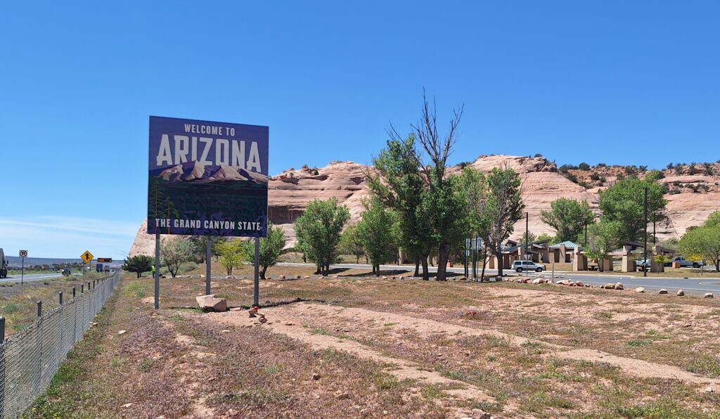
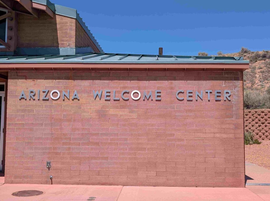
We took our first rest at the Arizona Welcome Center.
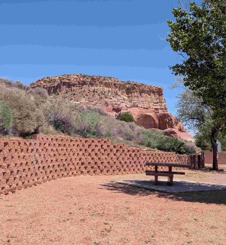
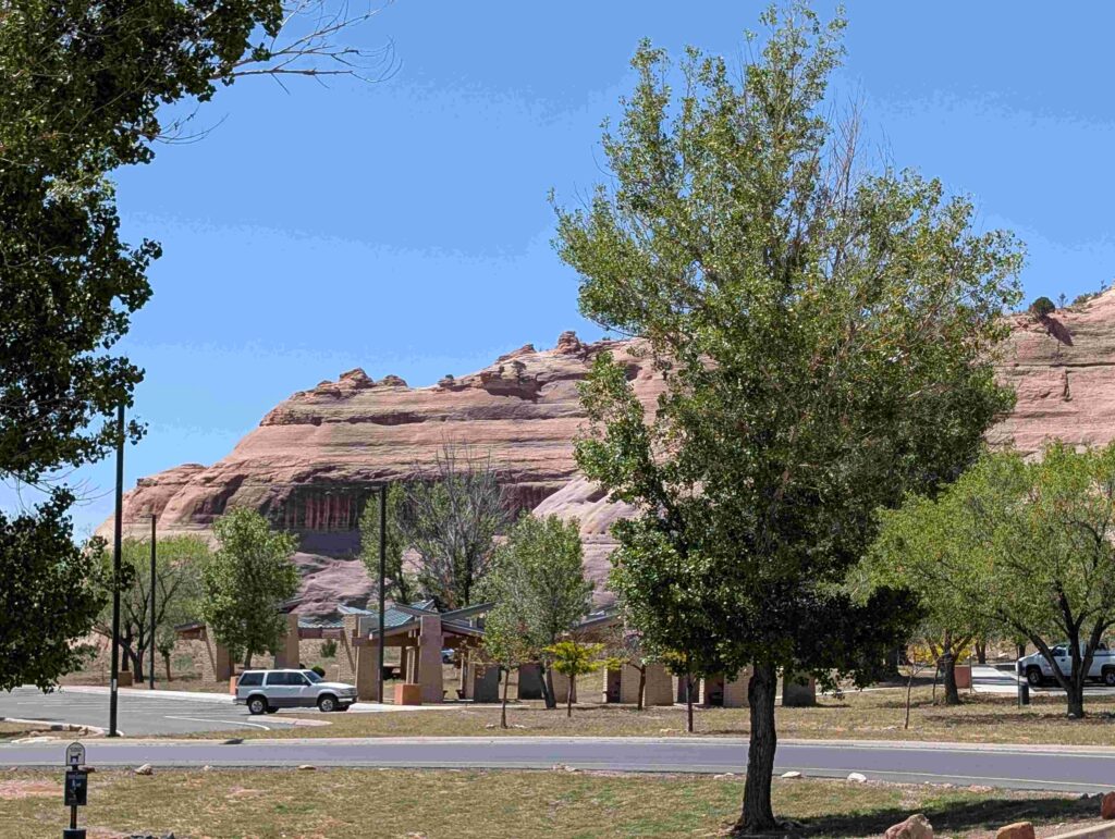
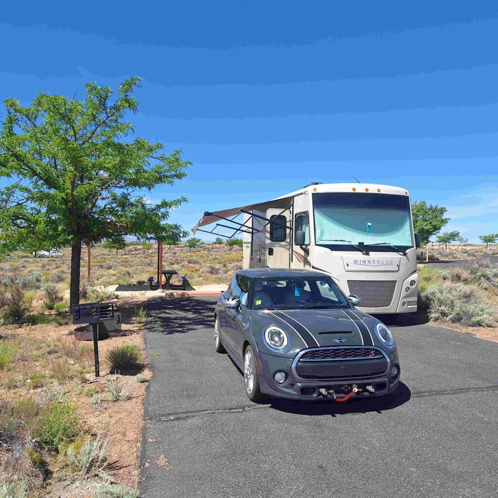
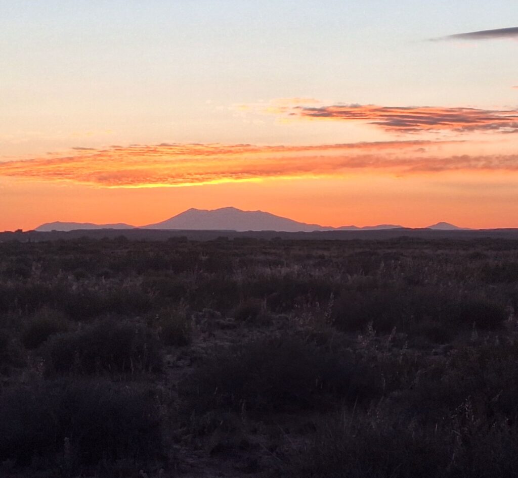
We stayed at Homolovi Ruins State Park just outside Winslow Arizona. The road into the campground was rough, but the campsite was great. We never had time to see the ruins, and even though we were well outside any major sources of light the night skies were dominated by the bright full moon (and its reflection on the desert ground). But we could see the snow-capped Humphrey’s Peak (Arizona’s highest peak at 12,637 ft in the San Francisco range) from the park.
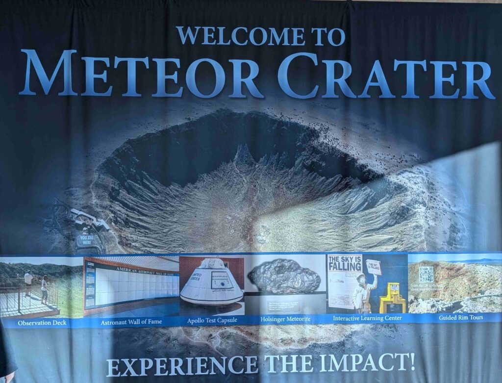
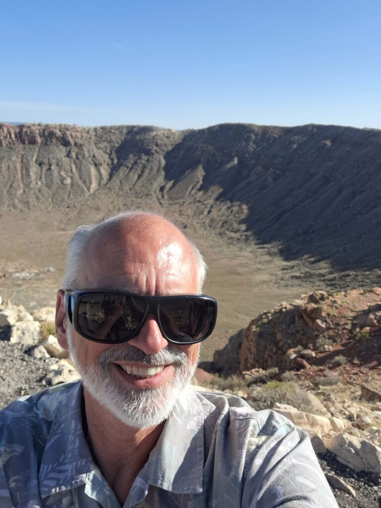
The original plan for Monday was to drive through the Painted Desert/ Petrified Forest with the RV on our way to Homolovi. But since we went straight to Homolovi, we went to Meteor Crater in the Mini instead.
We got there 90 minutes before they closed, which was plenty of time to see the film and look at the crater.
Steven took the short hike (0.25 miles out, and same coming back) along the rim. Vicki started the hike, but returned to the museum because the wind made it difficult to hear the ranger (and to stand upright in the wind.)
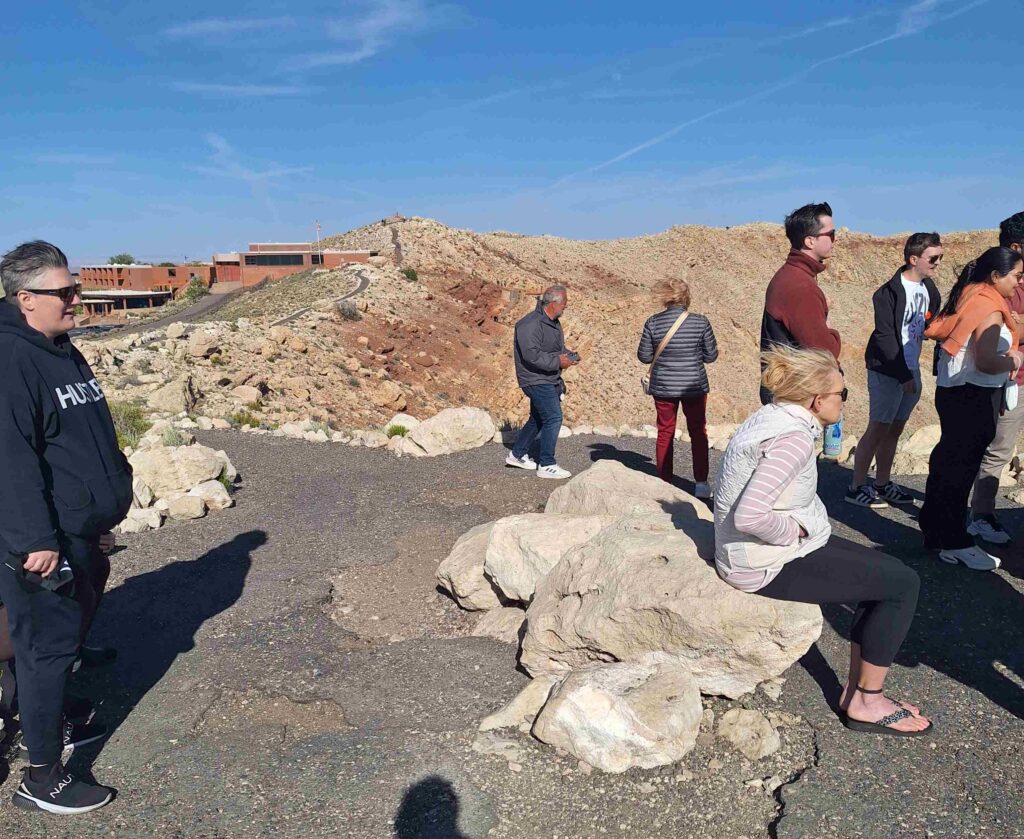
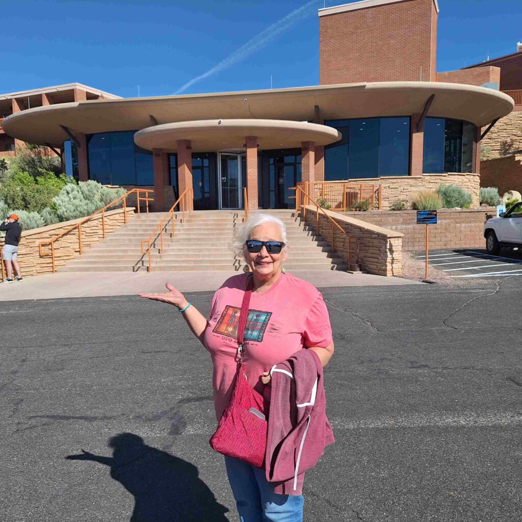
V: that wind was a bit scary. The visitor’s center had a good film, interesting displays and a better viewing area a bit sheltered from the wicked winds.
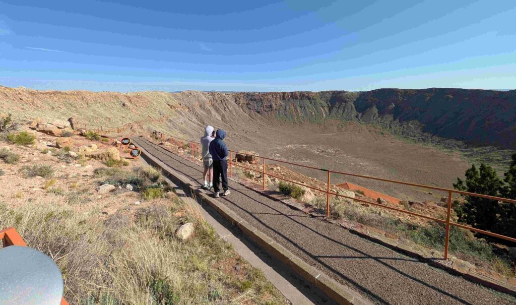
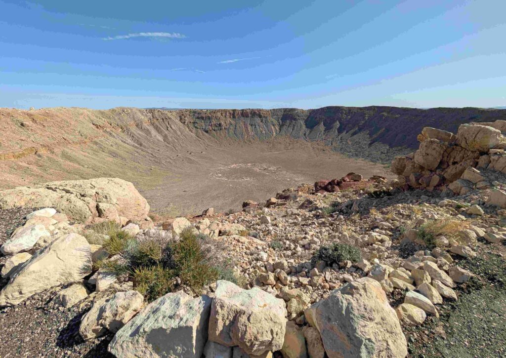
The crater, 550 feet deep (and a mile across), was originally thought to be volcanic. But it was missing anything resembling lava or volcanic cinders. They realized it was a meteor crater because of the way the top layers of the land were folded back due to the force of the meteor exploding underground. This folding back of the land was similar to what was seen with underground nuclear explosions.
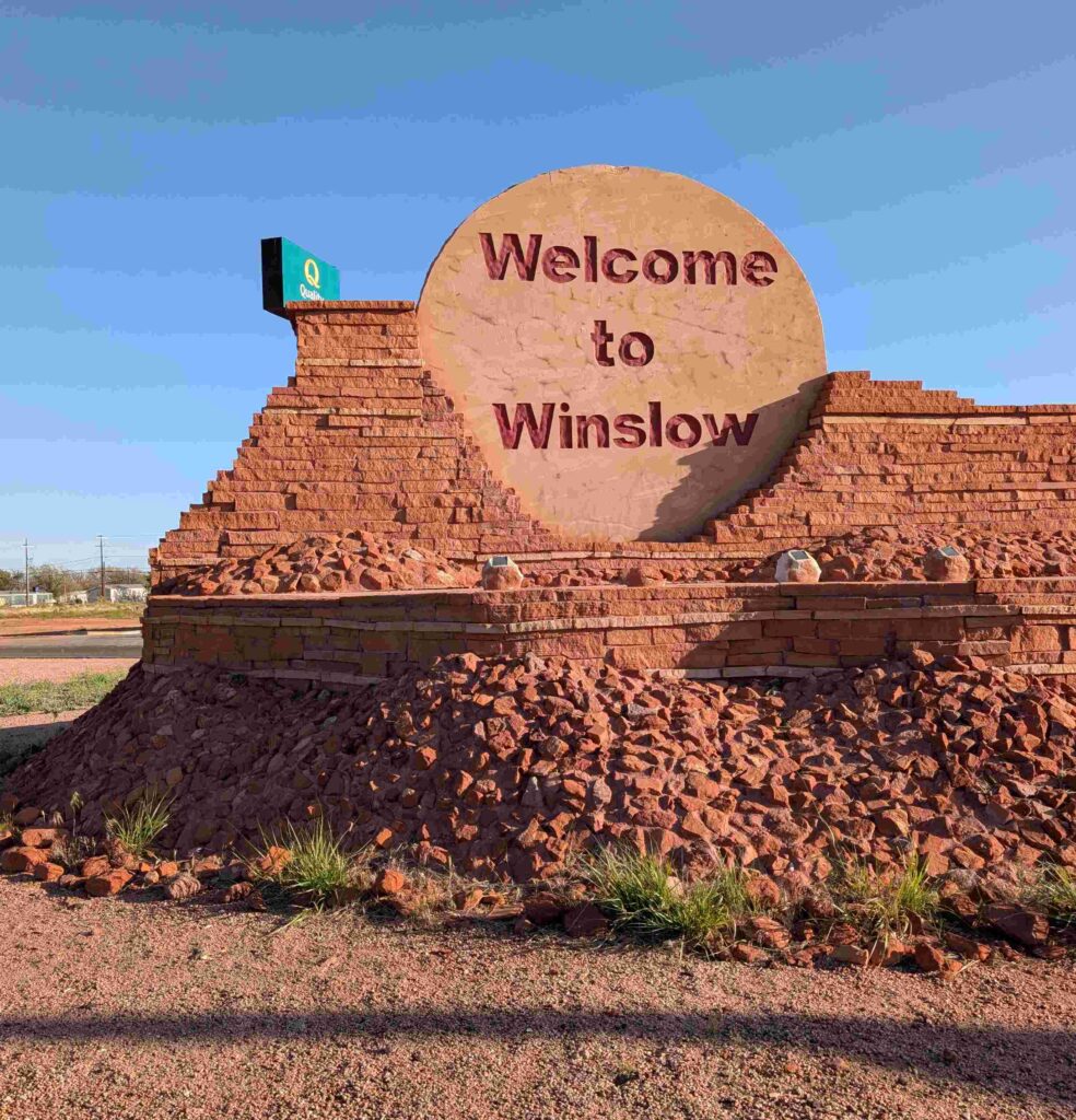
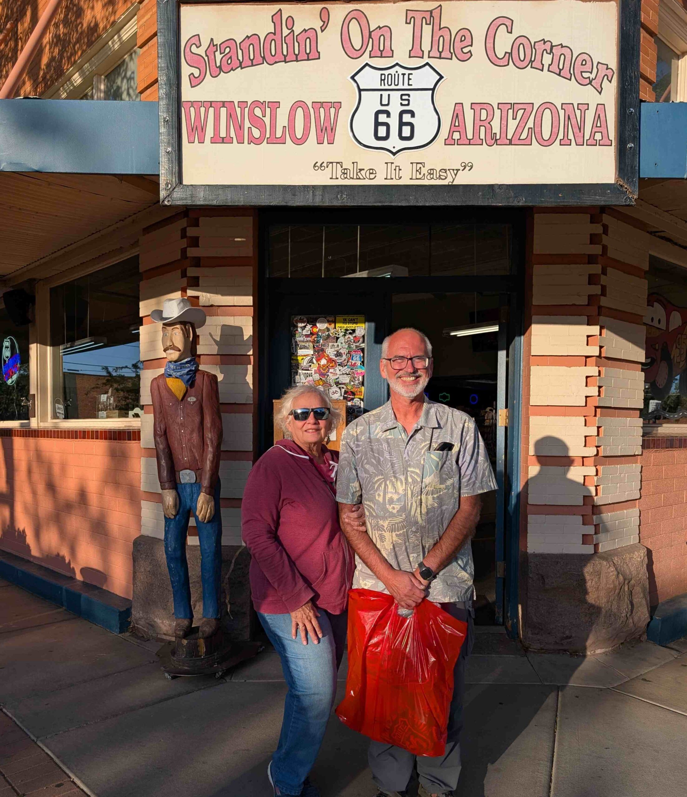
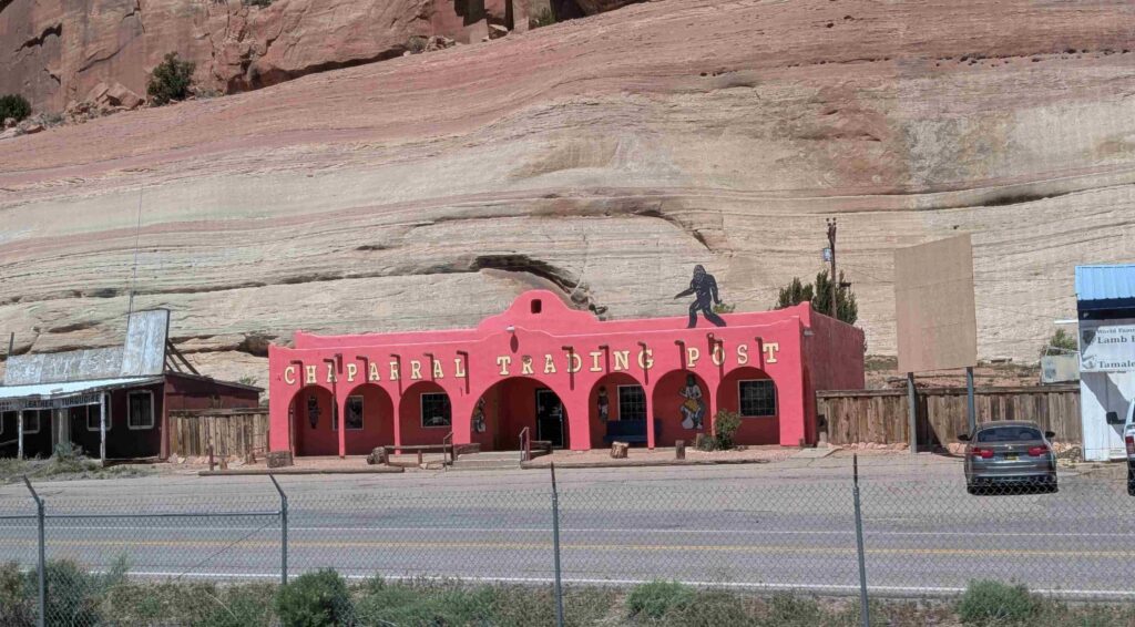
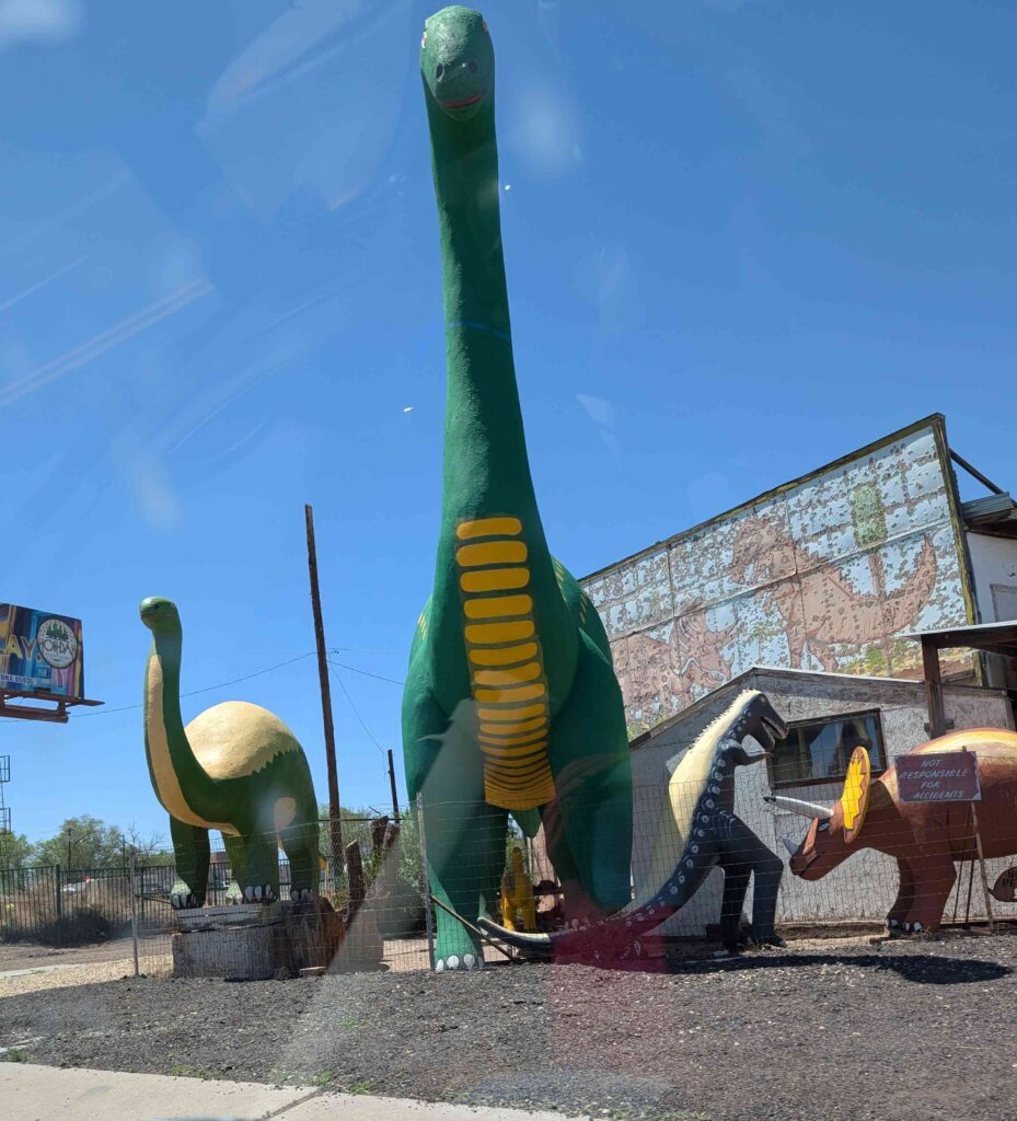
After Meteor Crater, we went to downtown Winslow to take the mandatory tourist pictures of us standing at a corner.
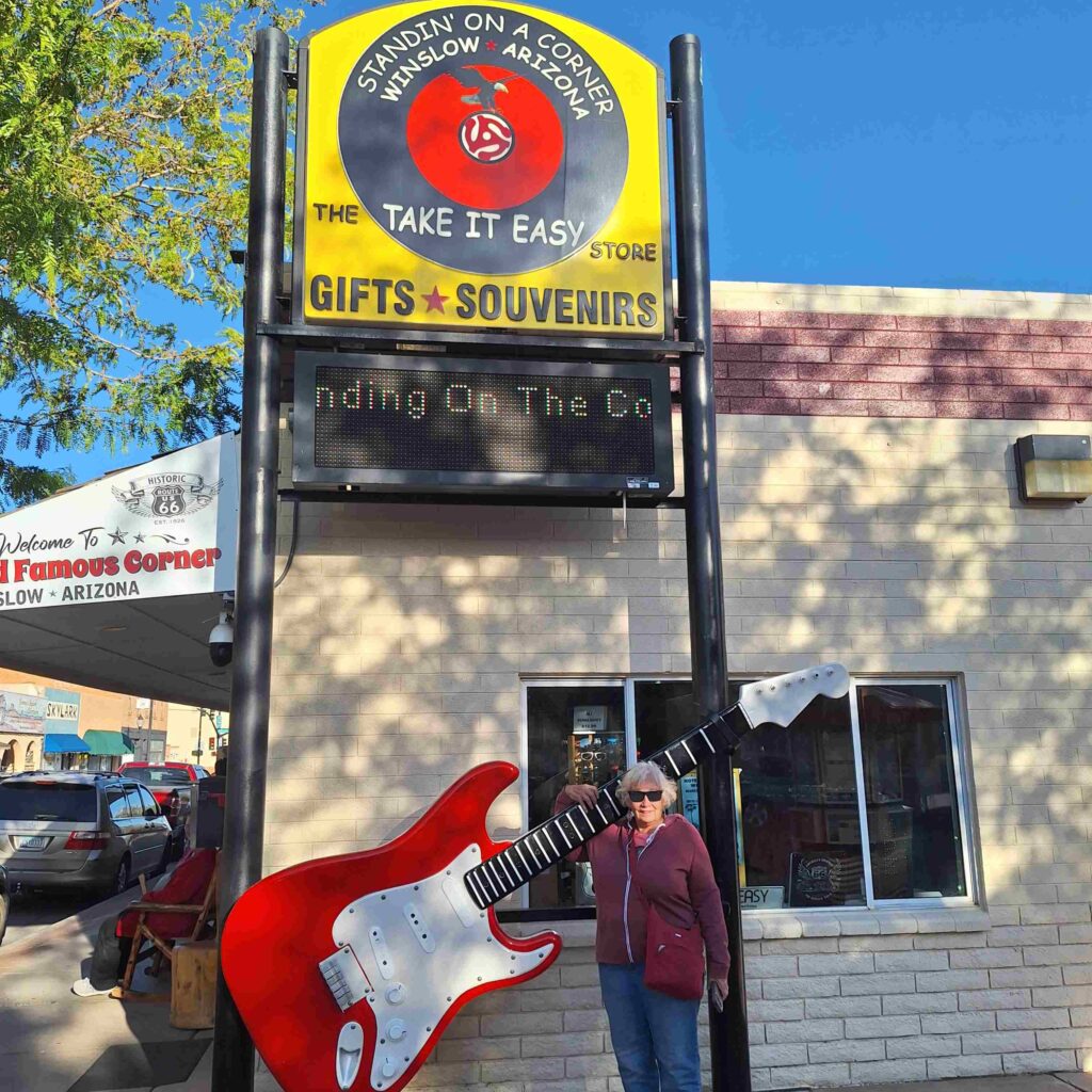
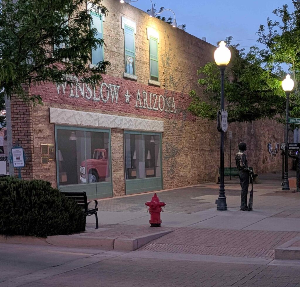
We also went into a couple of souvenir stores to get postcards, a Route 66 t-shirt, and a Route 66 duffel bag. This was our second town that was celebrating the 100th year of Route 66, and there were plenty of reminders of the celebration.
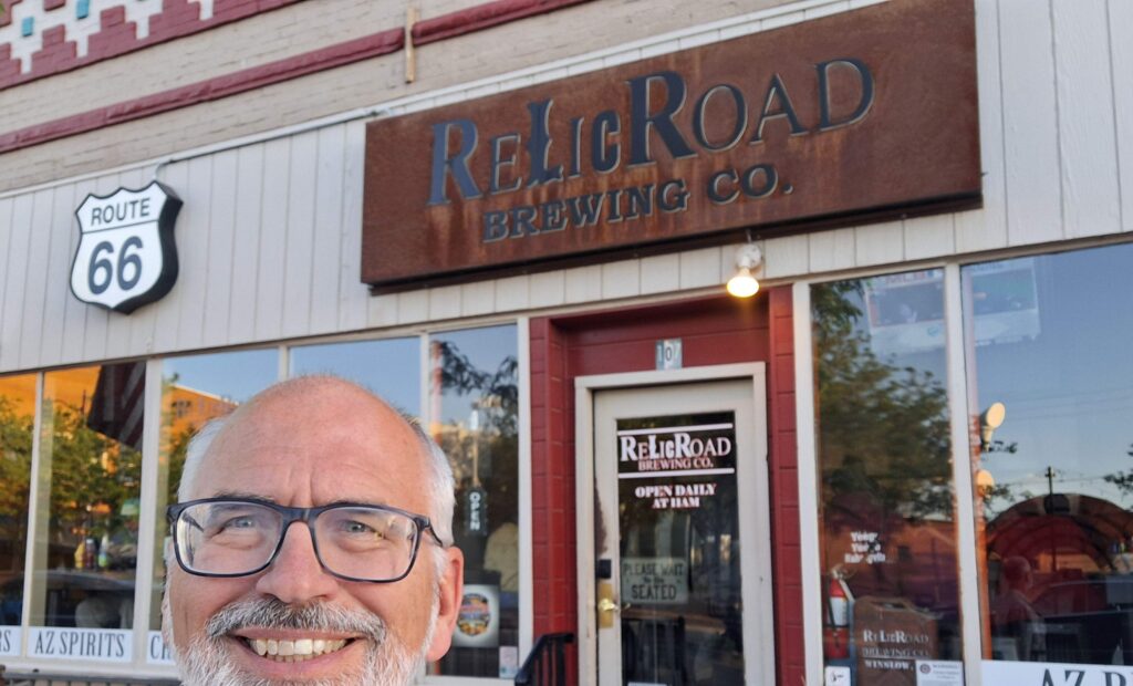
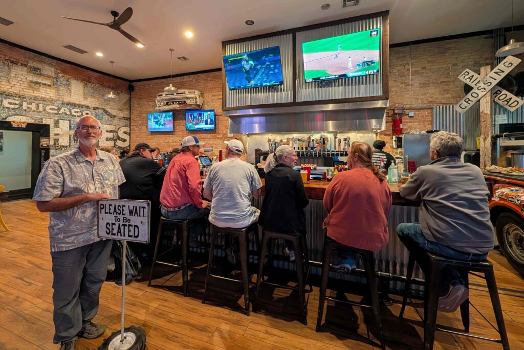
We stopped for dinner at Relic Road Brewing Company (on Rt 66). Steve had a delicious Diablo Burger and another (not as good) Mexican Lager. Vicki had a Buffalo Chicken Salad (where the Buffalo Chicken sauce was not as mild as she likes.) Because of the fried zucchini appetizer, we had leftovers.
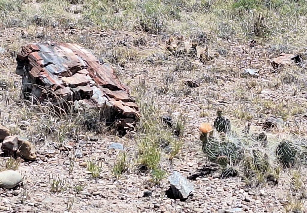
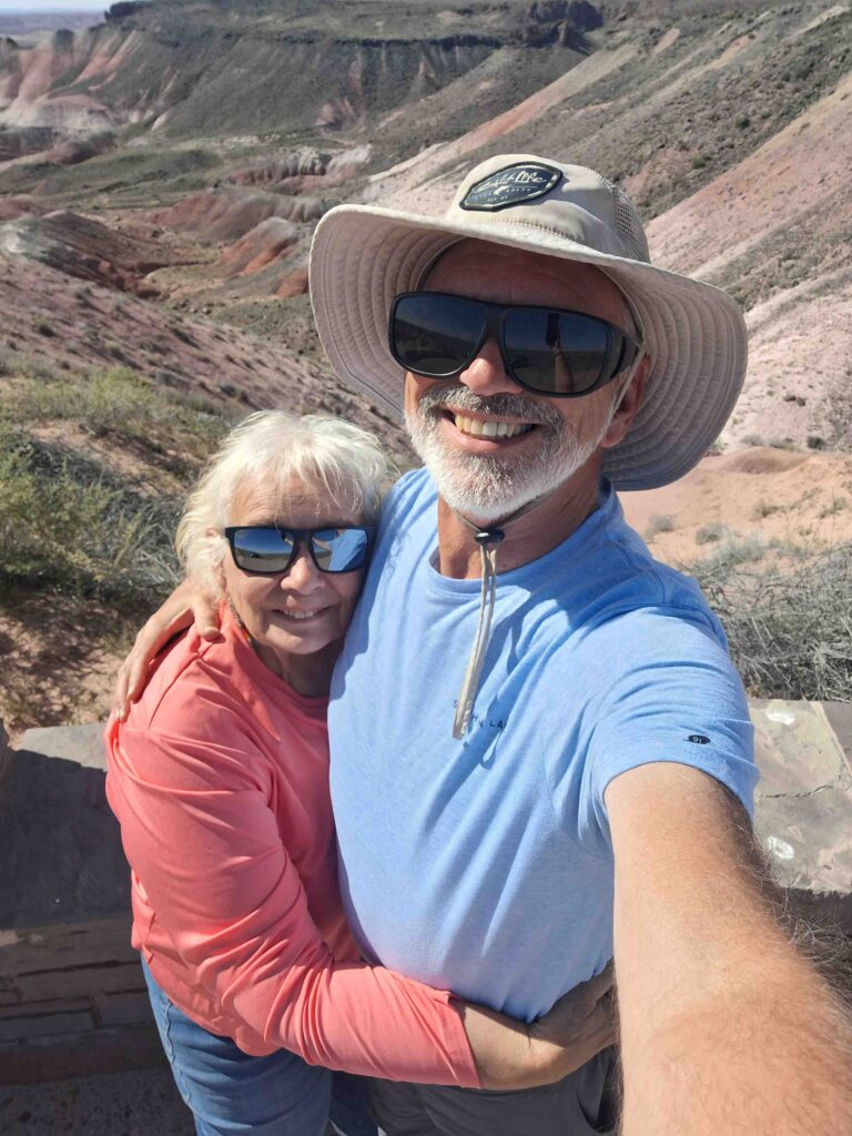
Tuesday was spent at the Petrified Forest and Painted Desert. We drove the Mini (with Lexie) and started at the southern entrance (by mistake).
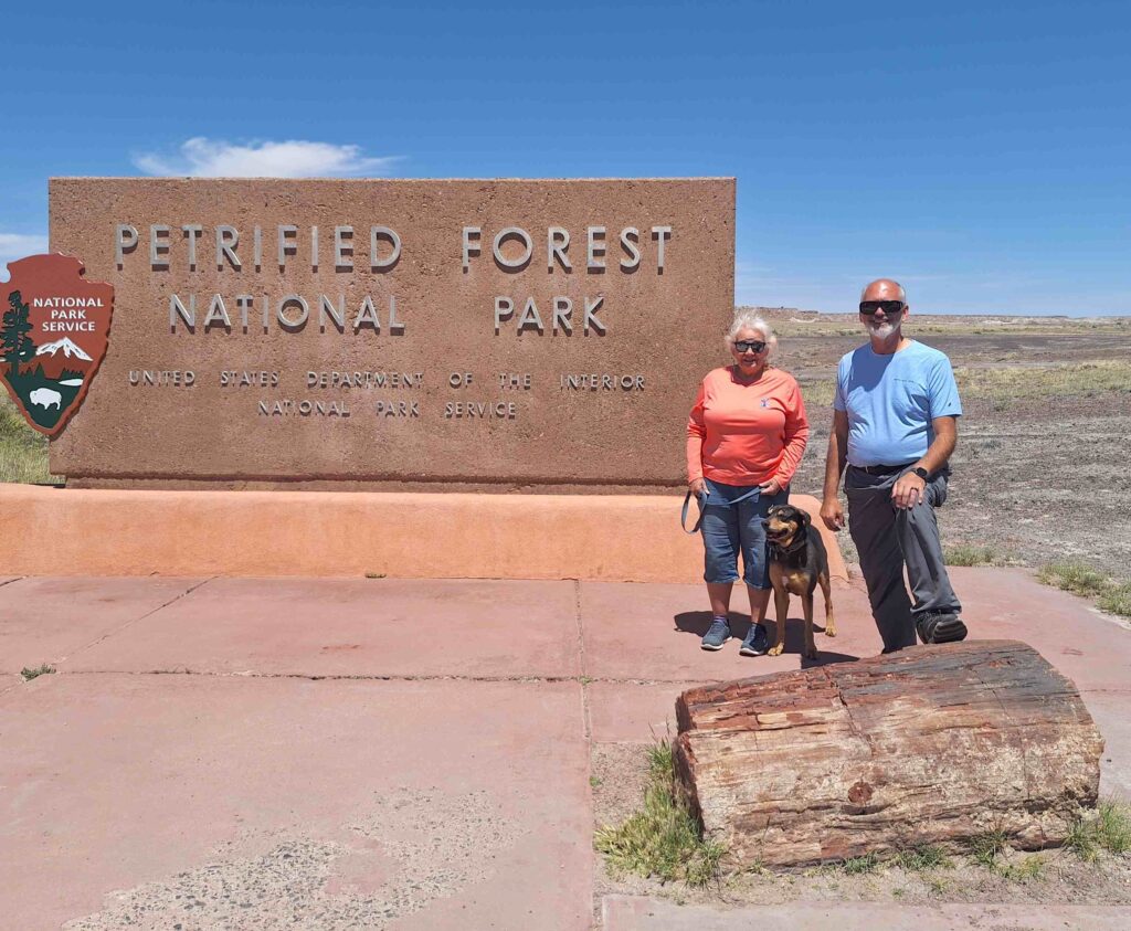
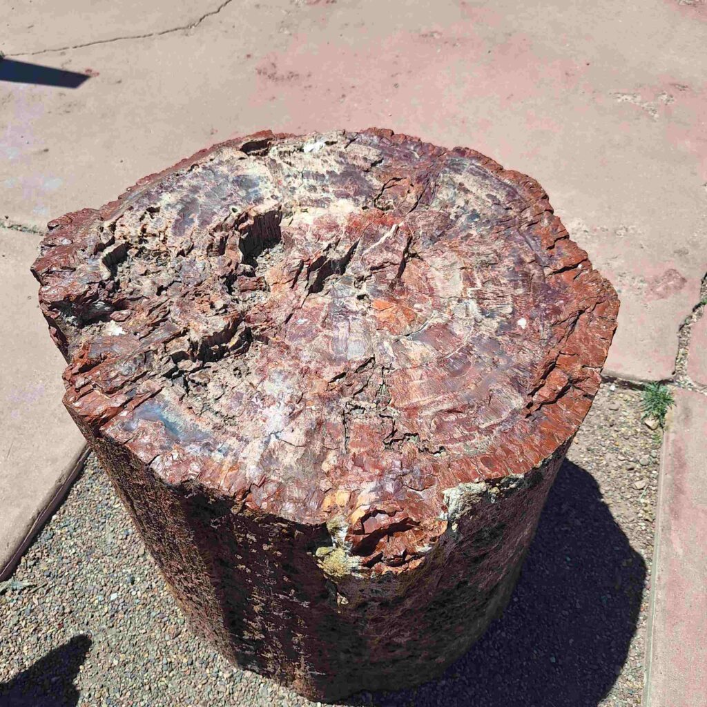
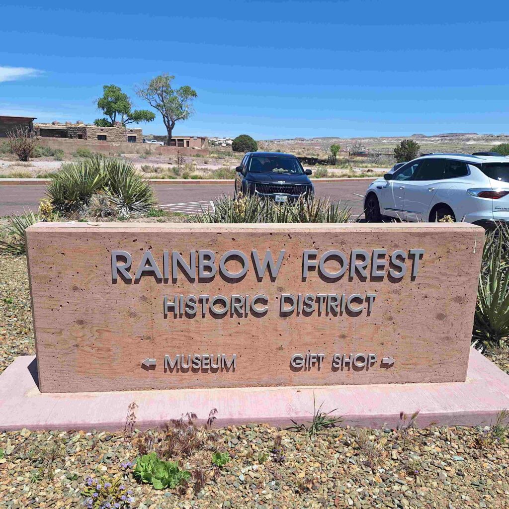
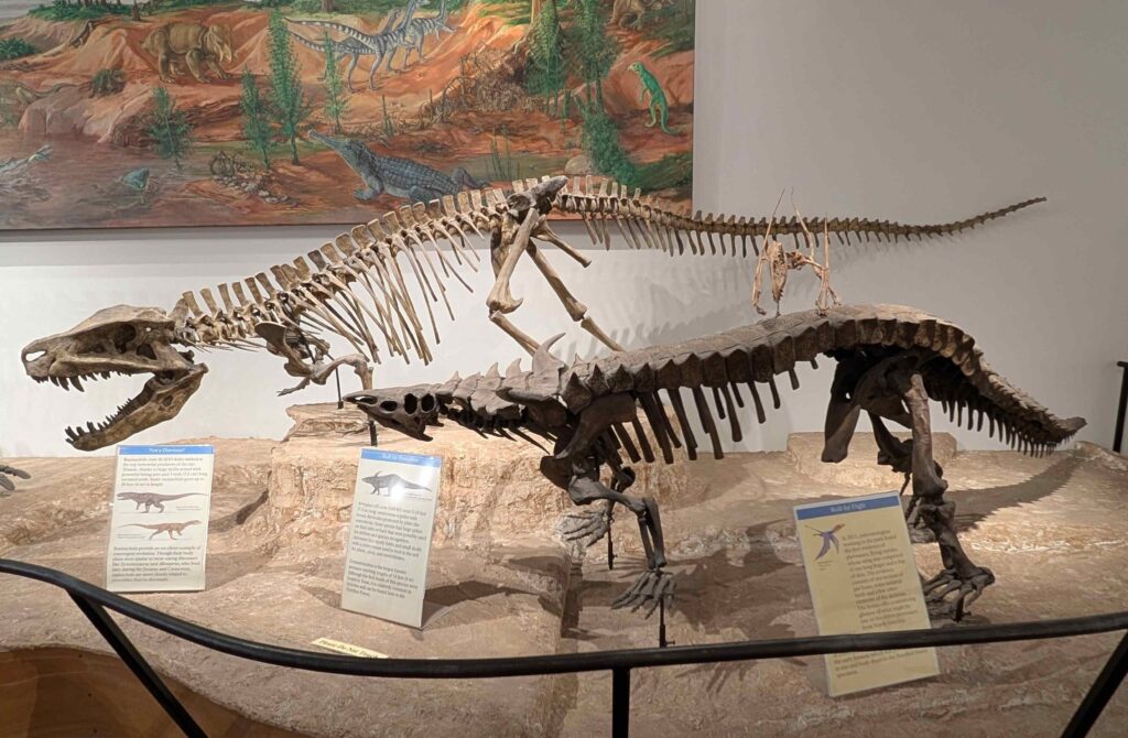
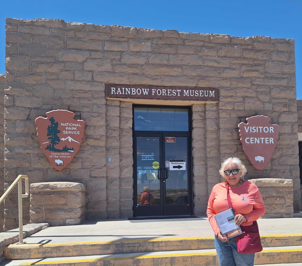
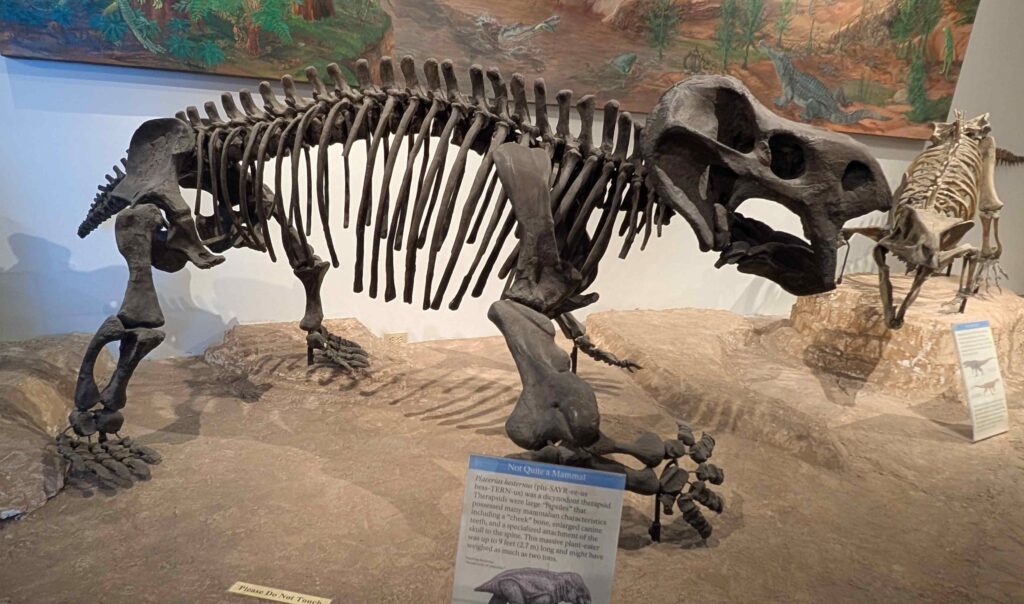
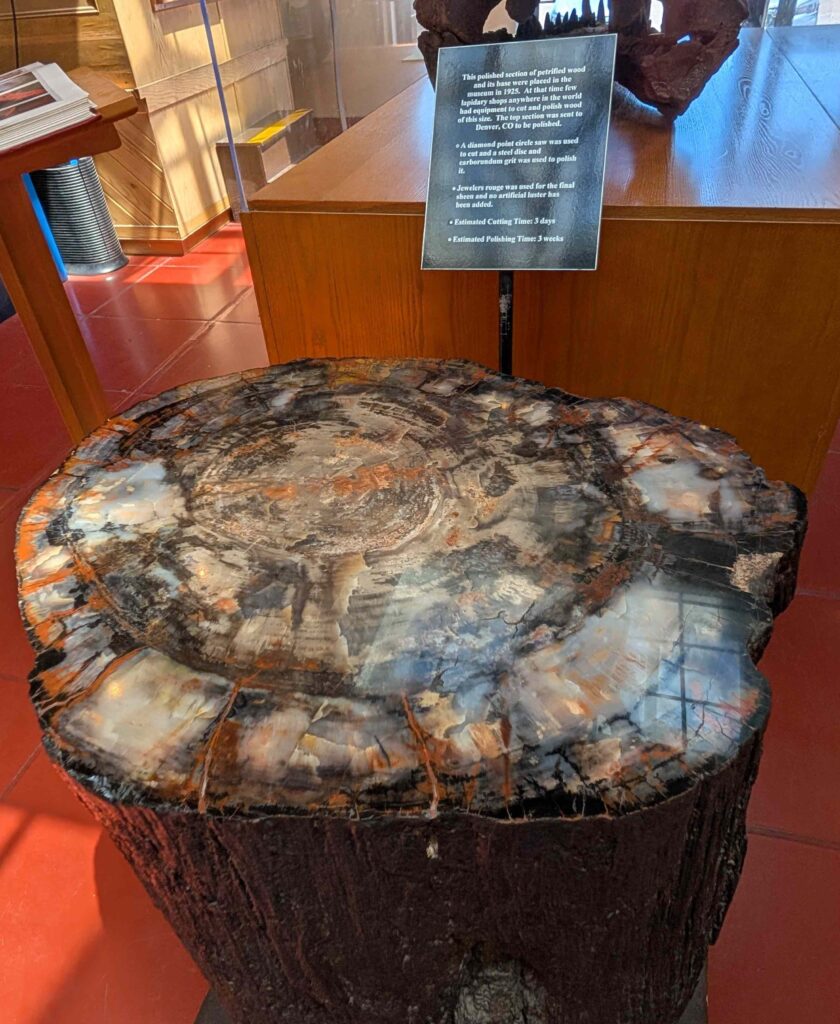
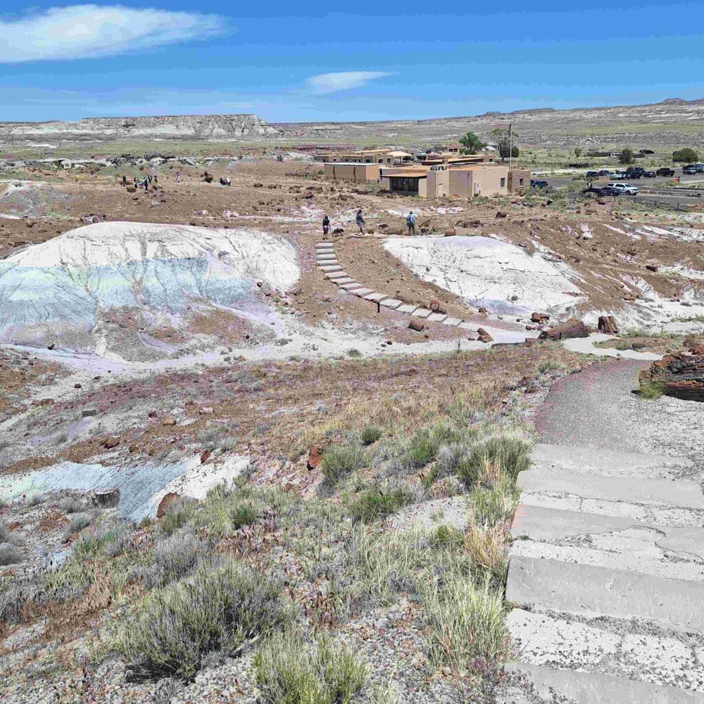
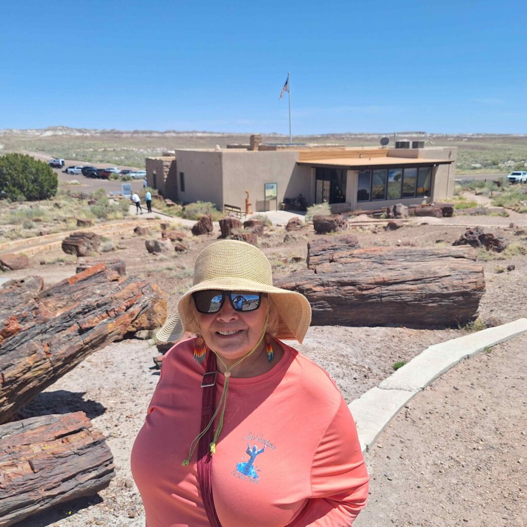
We stopped at the Rainbow Forest Museum so Vicki could get our National Park Stamp and tour the museum.
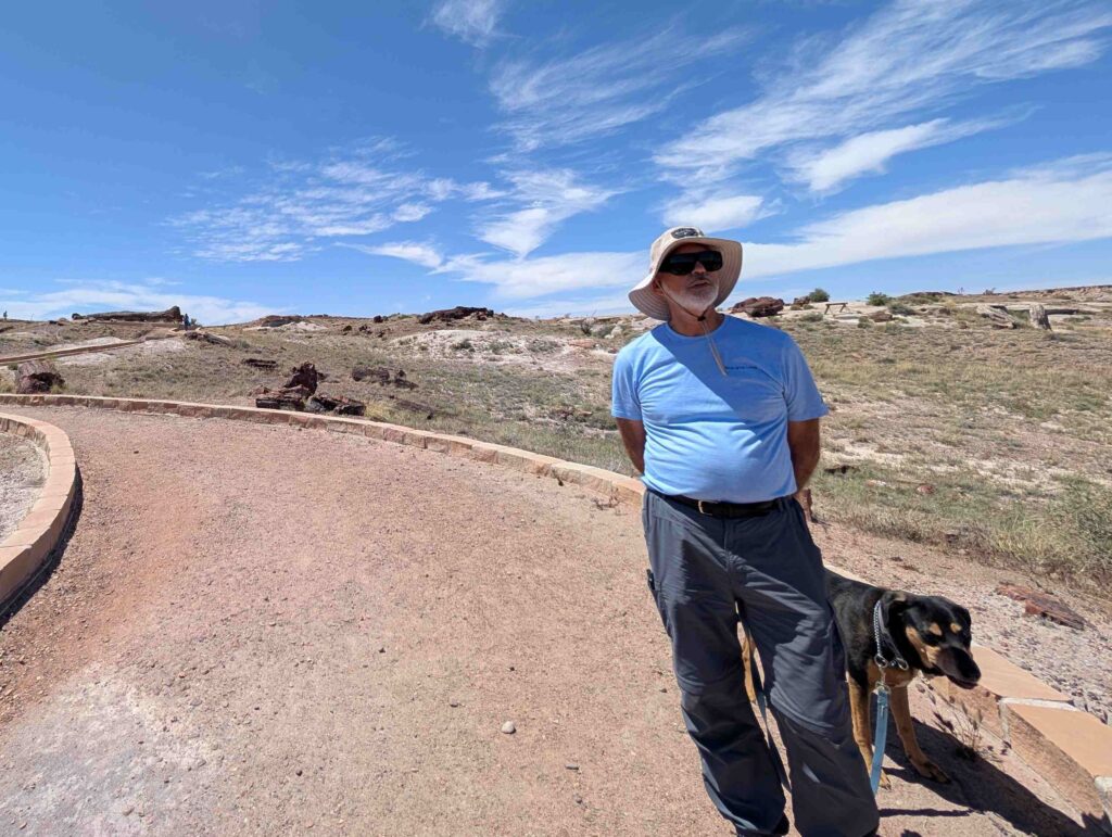
Steve and Lexie walked the Long Logs trail outside the Museum, and Vicki took a short highlighted walk on the Long Logs trail.
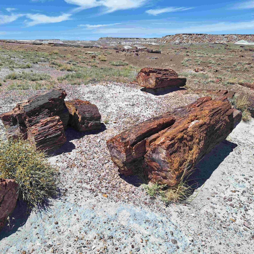
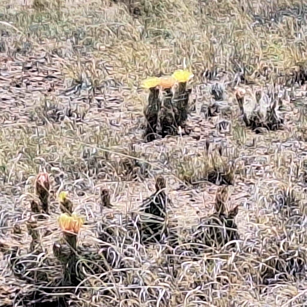
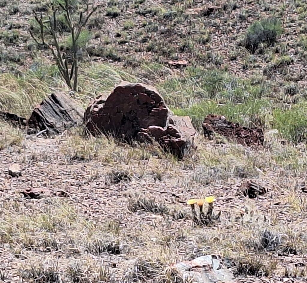
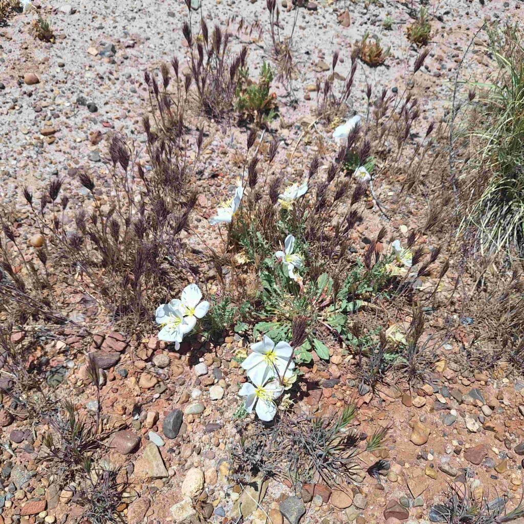
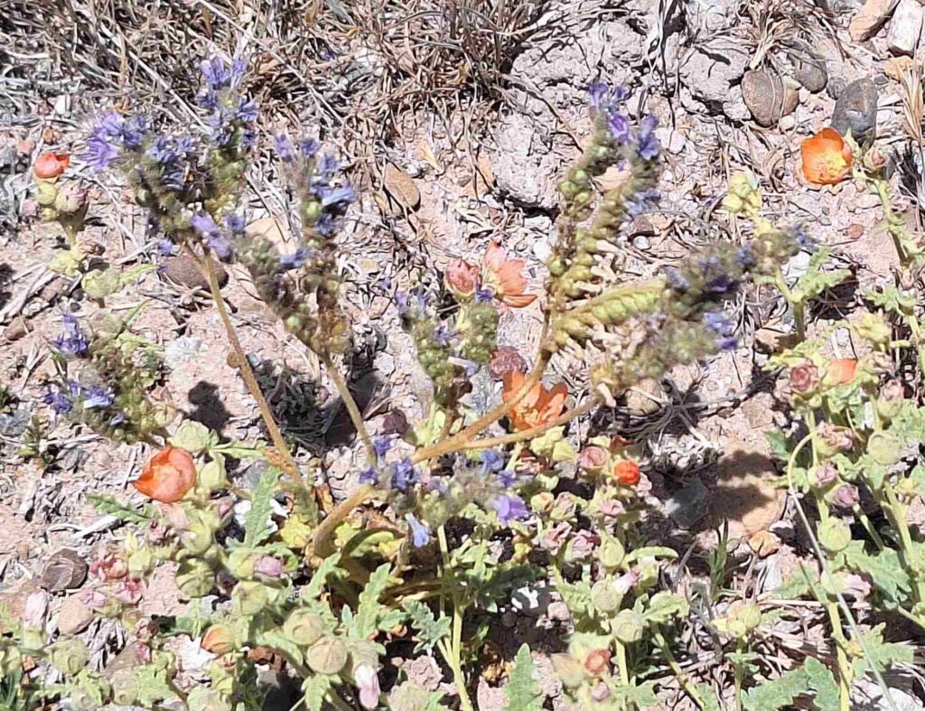
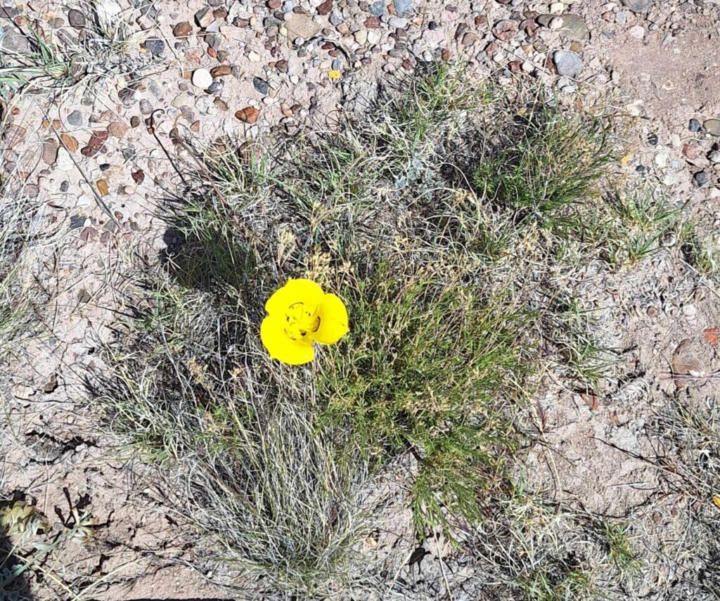
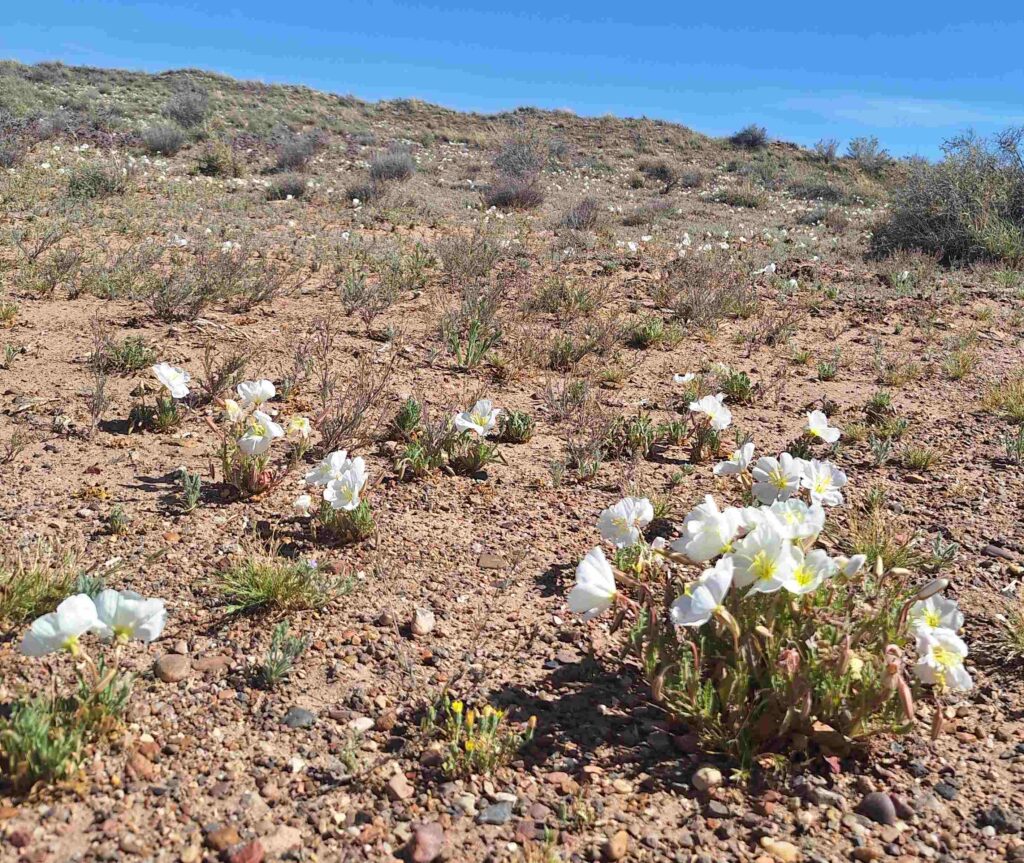
One of the great things about this trip has been observing all the spring desert blooms. There were plenty of those on the Long Logs trail.
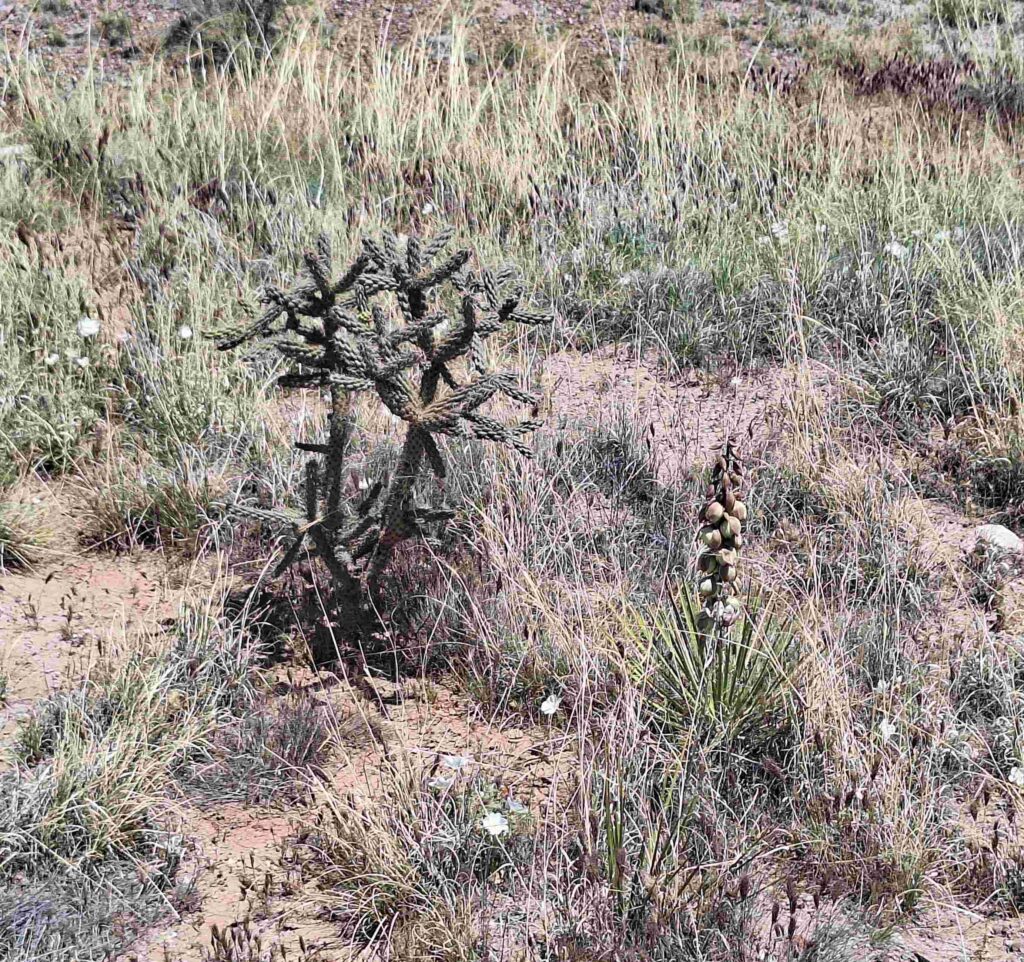
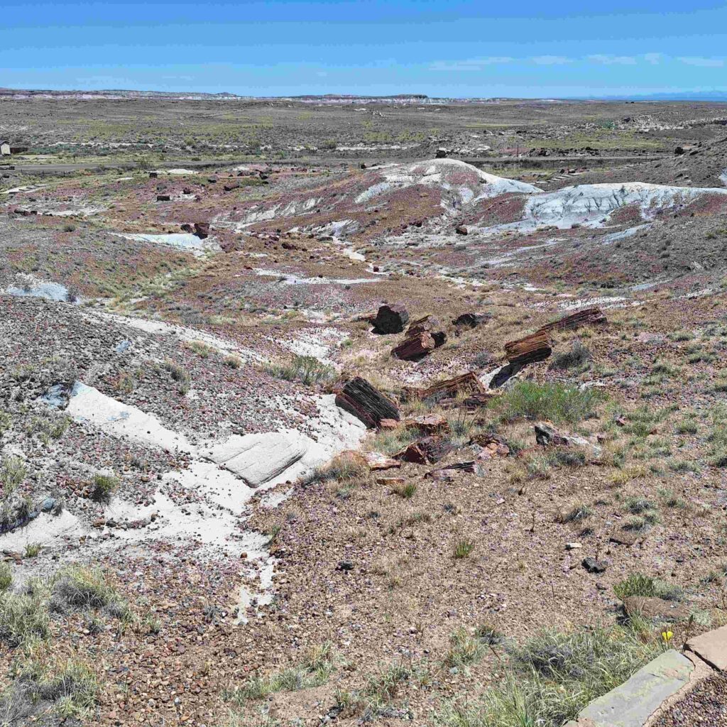
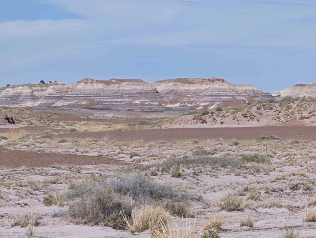
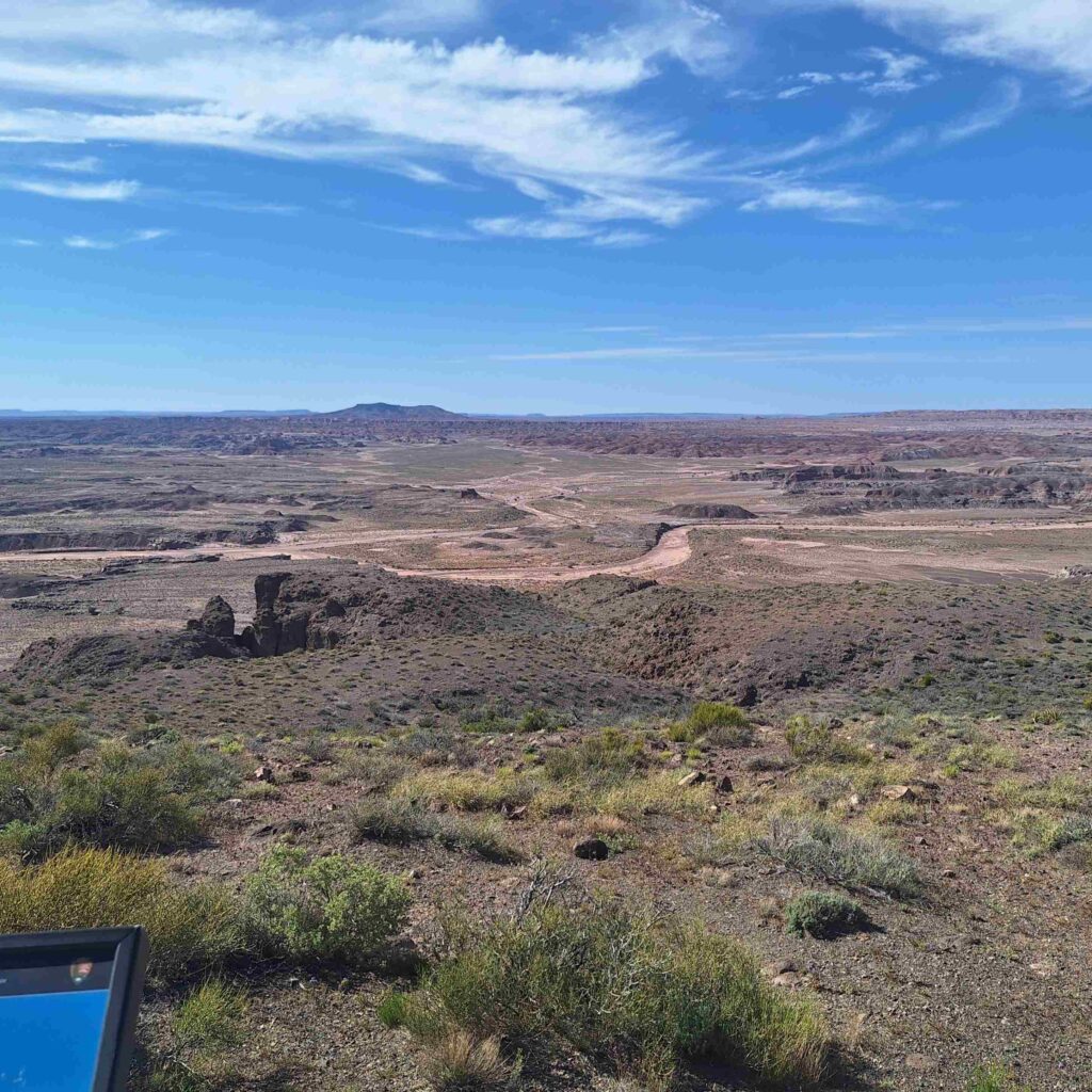
We then took a leisurely ride through the Petrified Forest and Painted Desert.
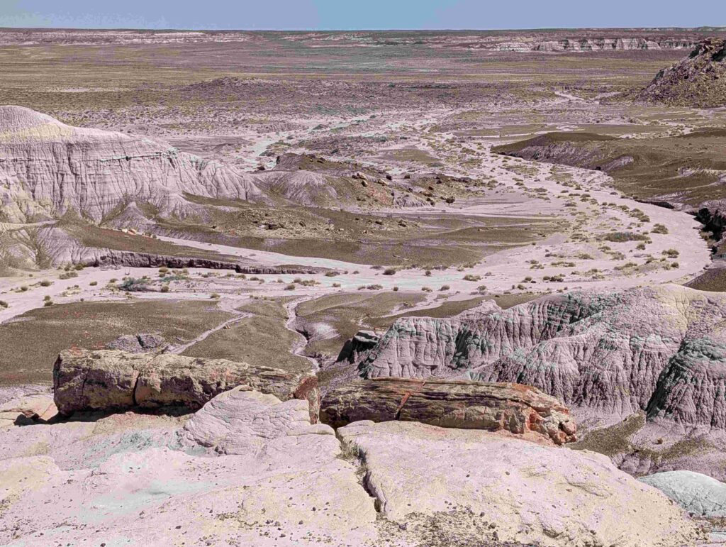
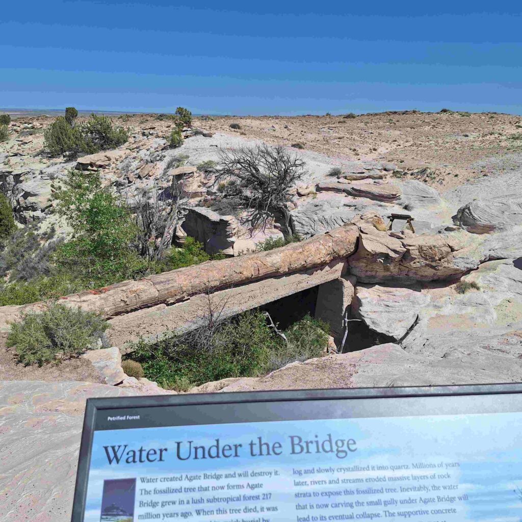
We stopped at Agate Bridge, a bridge made of a long petrified log.
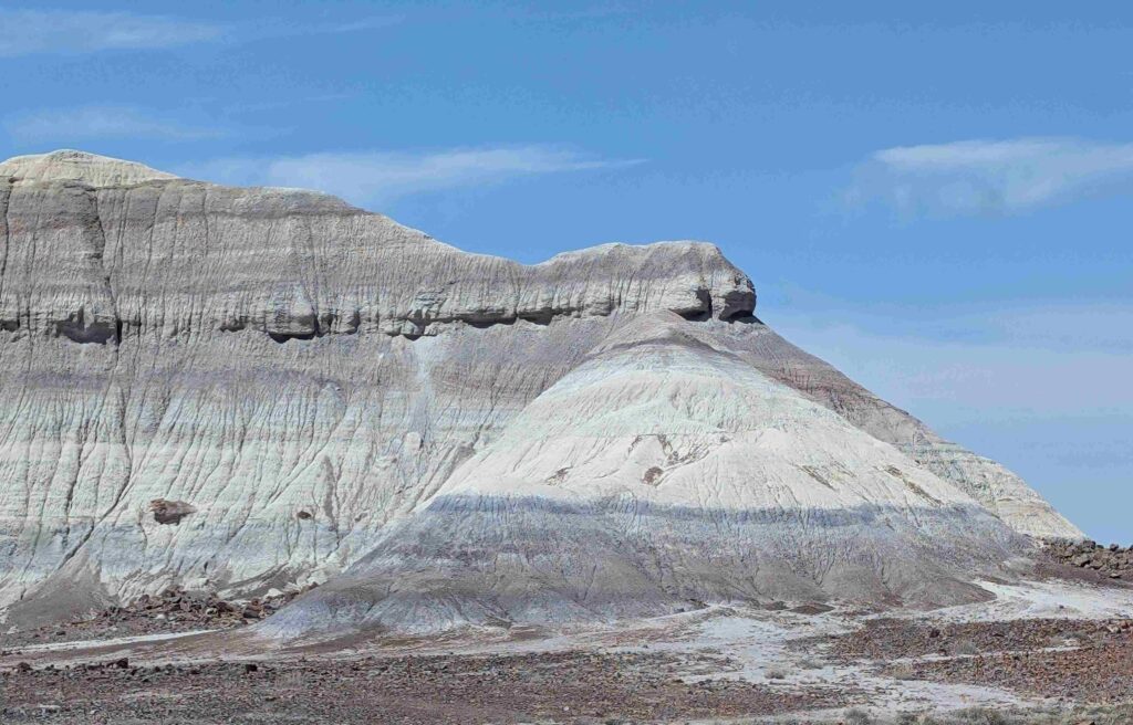
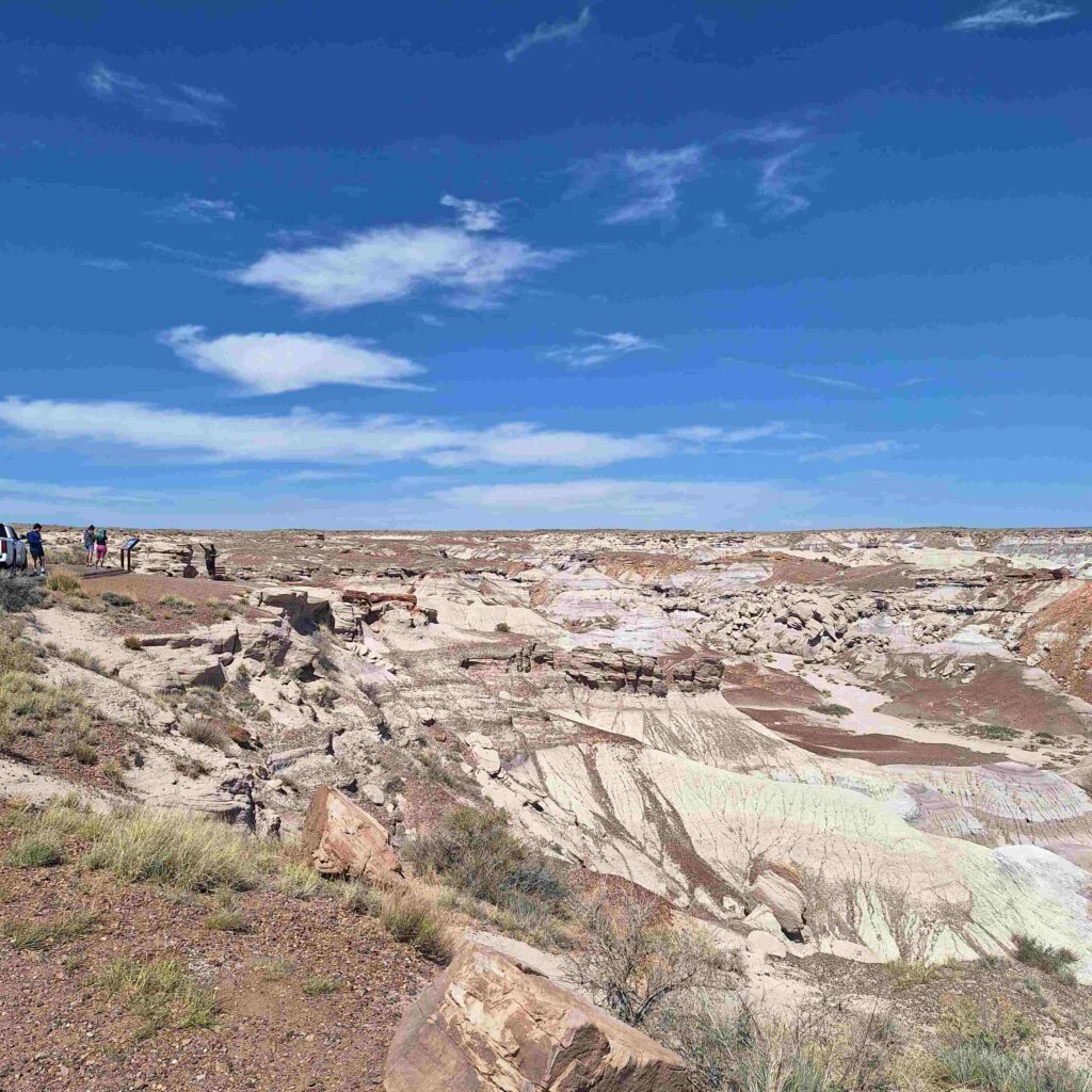
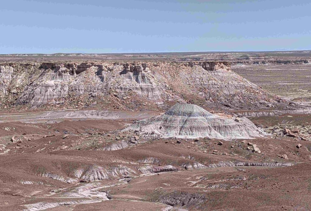
We drove around the Blue Mesa loop with multiple stops. Lexie stayed in the car for these.
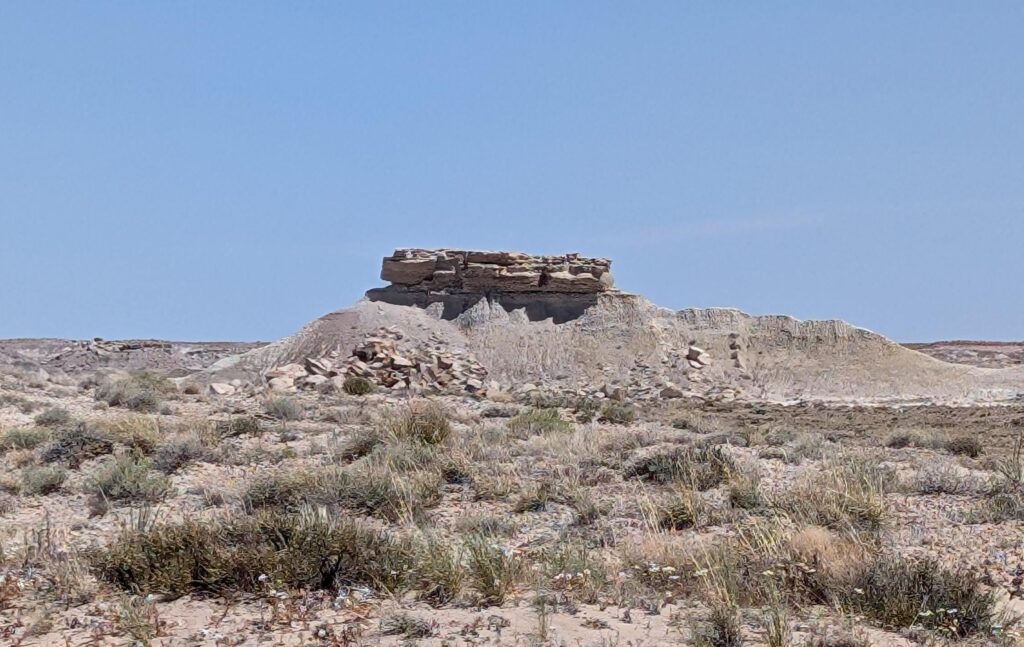
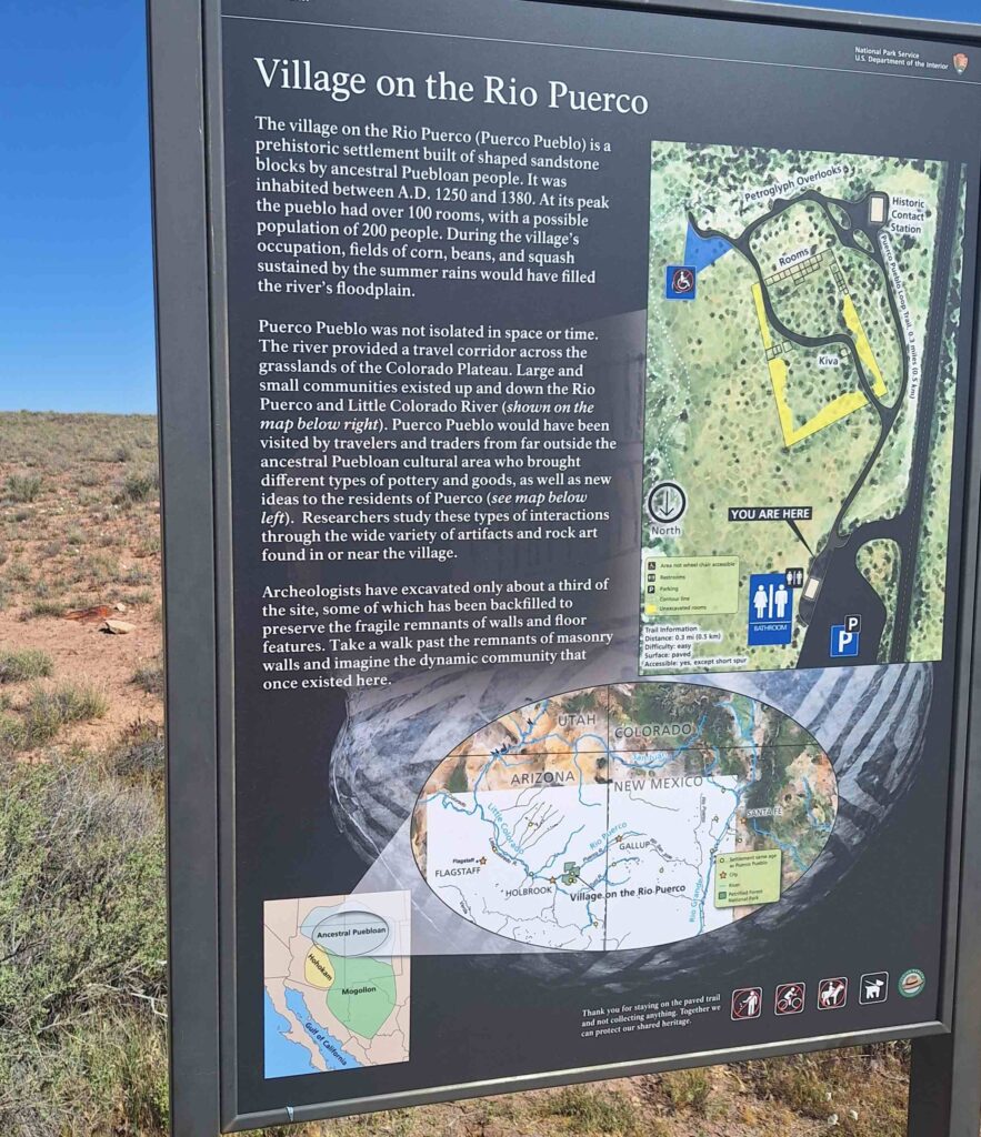
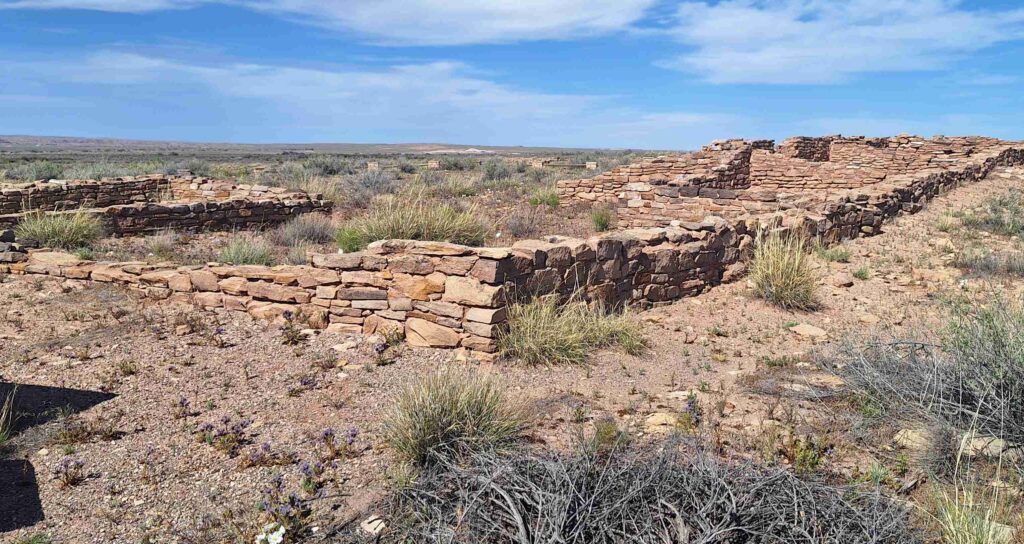
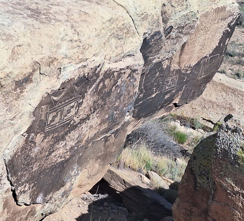
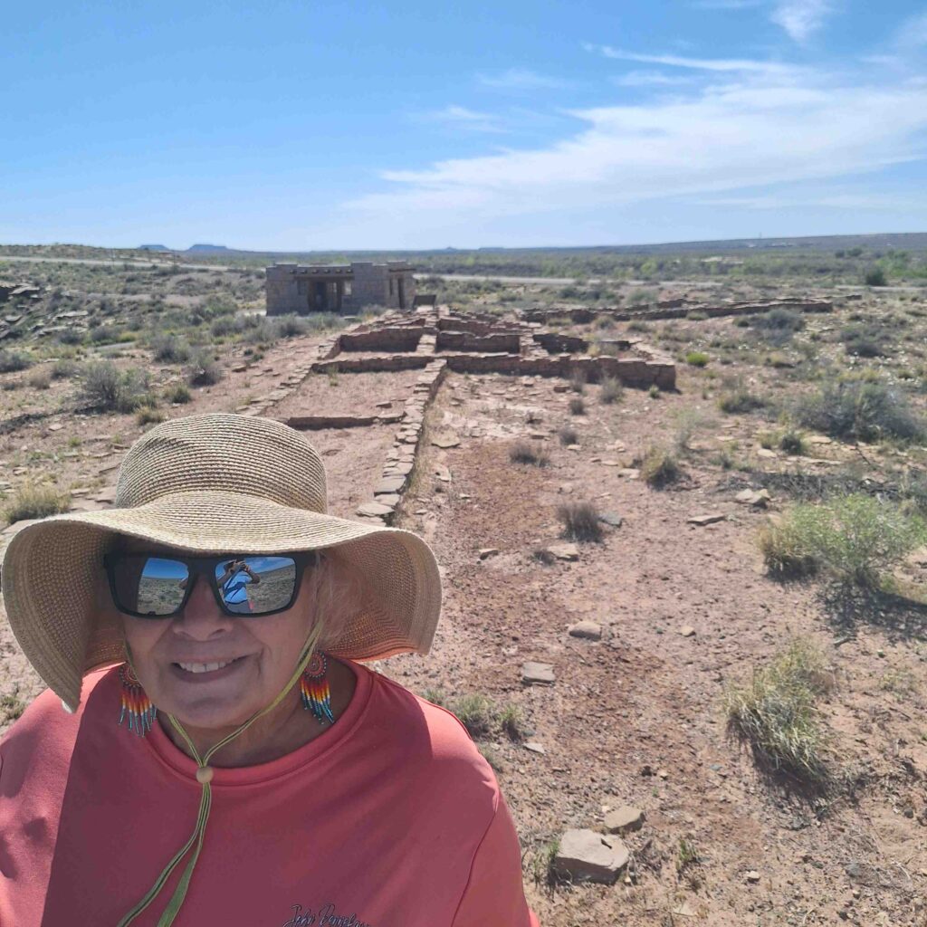
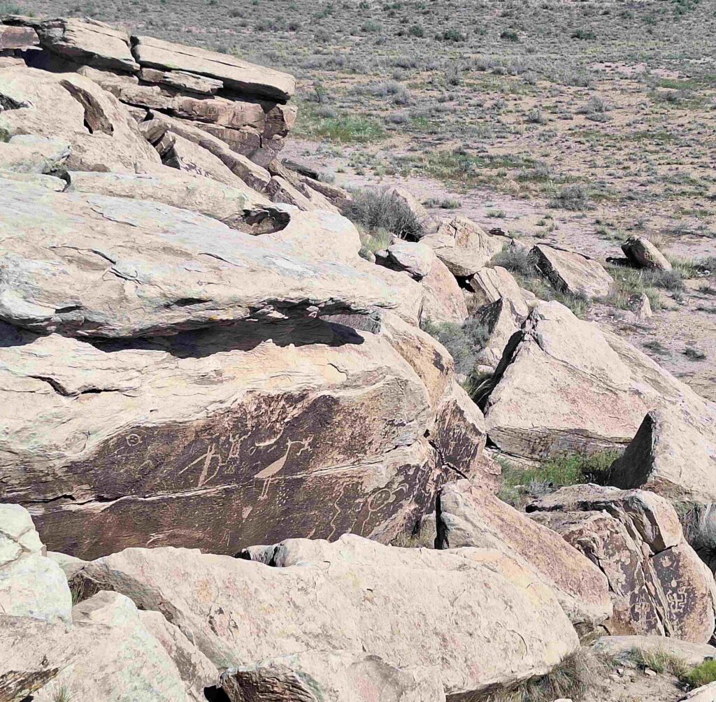
We stopped at Puerco Pueblo to look at the remains of a pueblo village (and some petroglyphs). Lexie got to look at the remains as well.
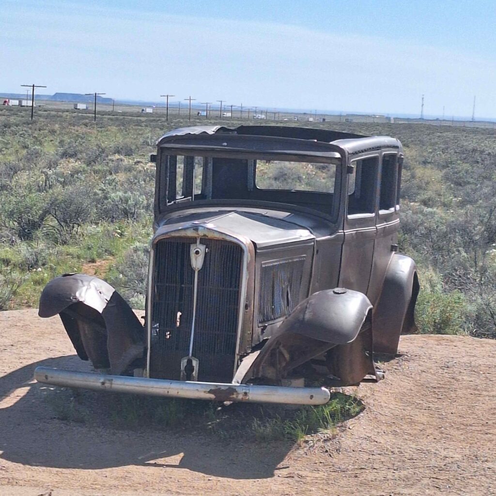
There was even an old Studebaker to mark where Rt. 66 went through the parkland!
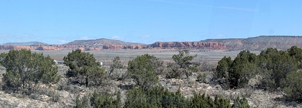
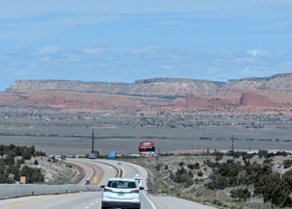
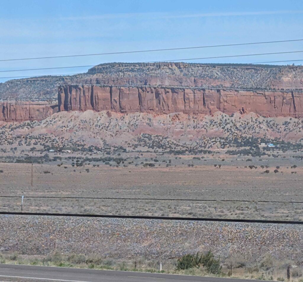
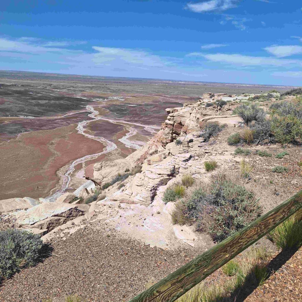
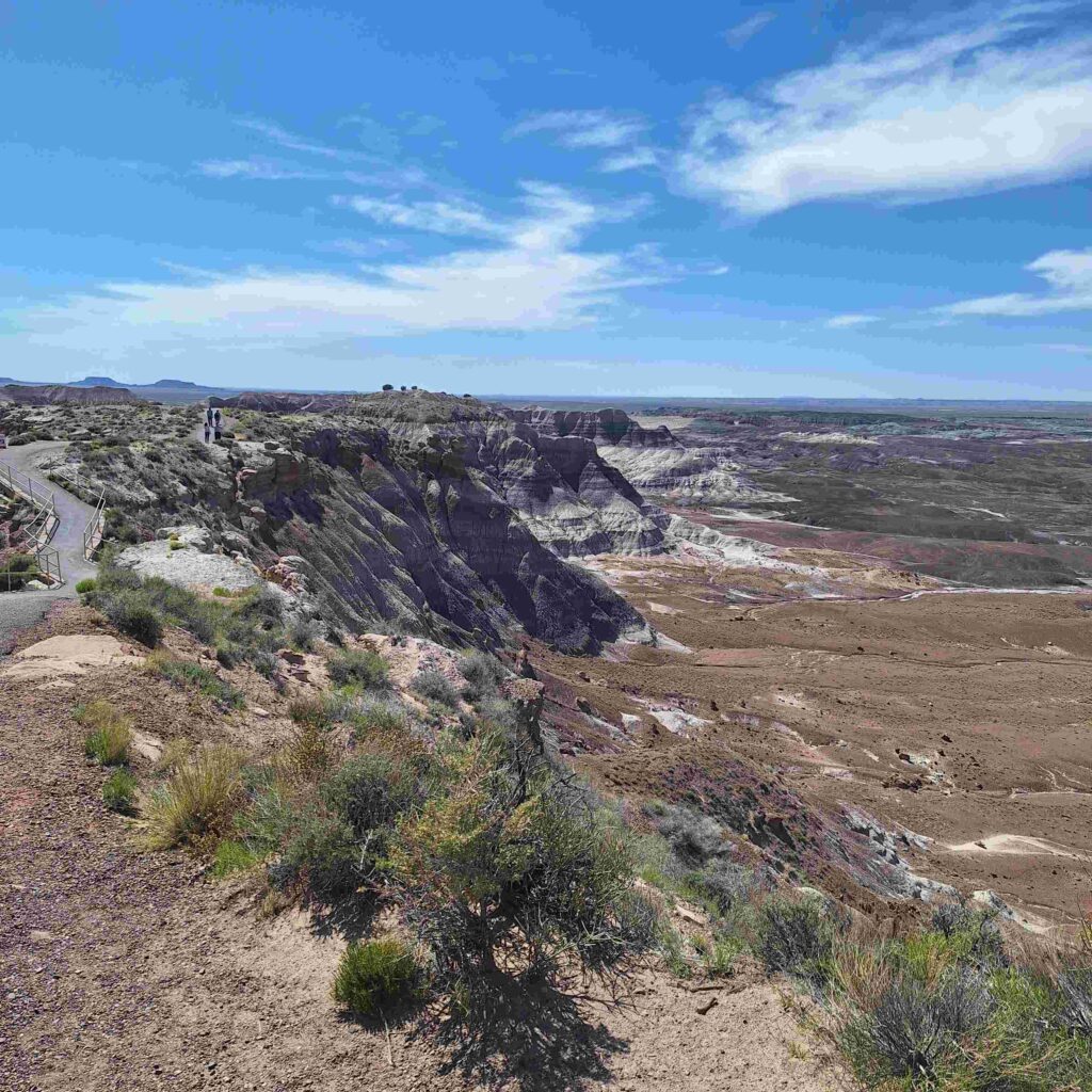
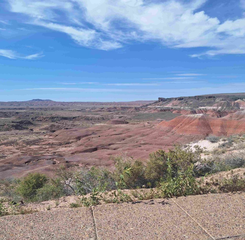
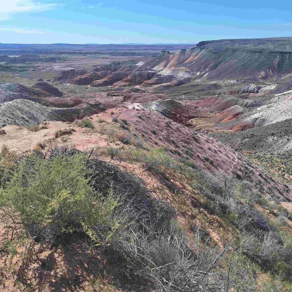
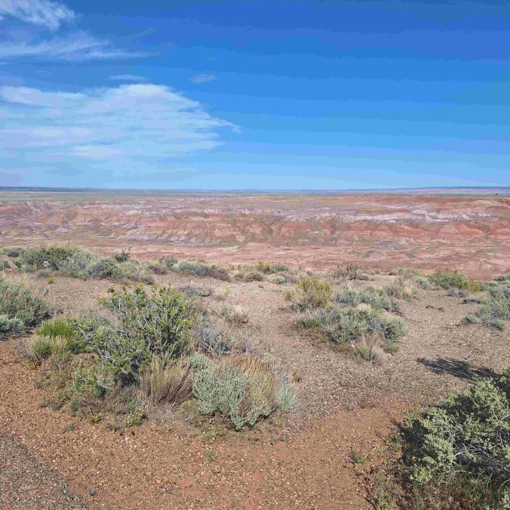
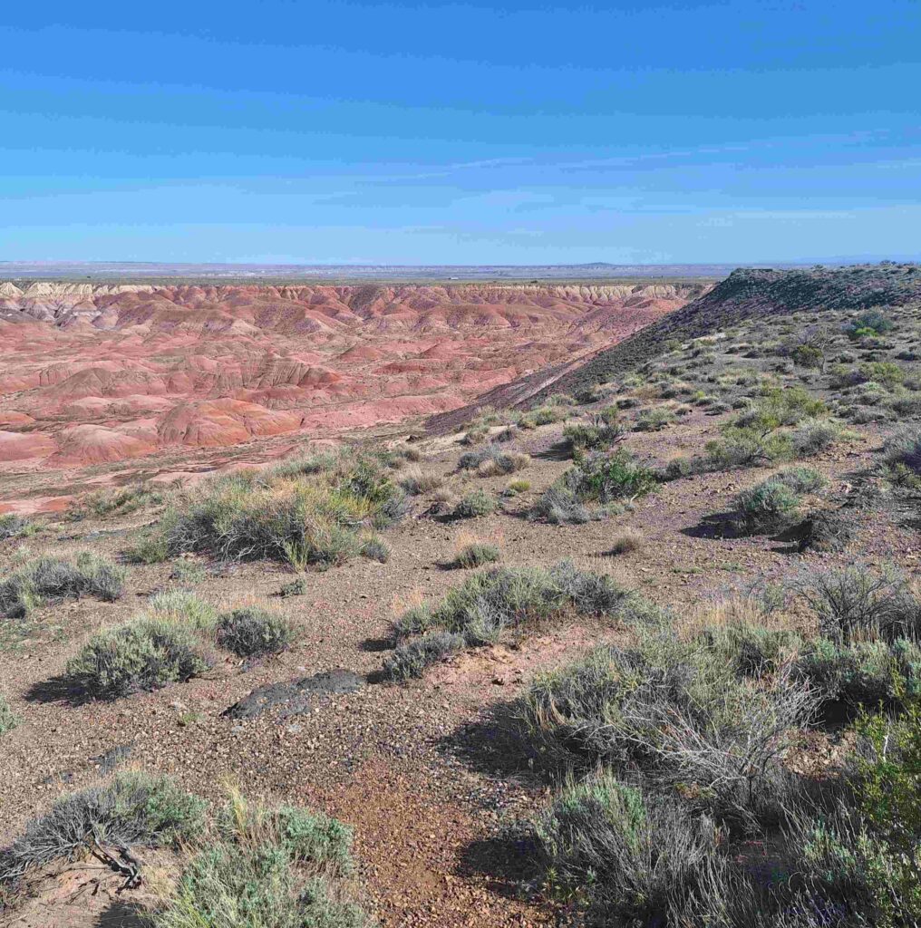
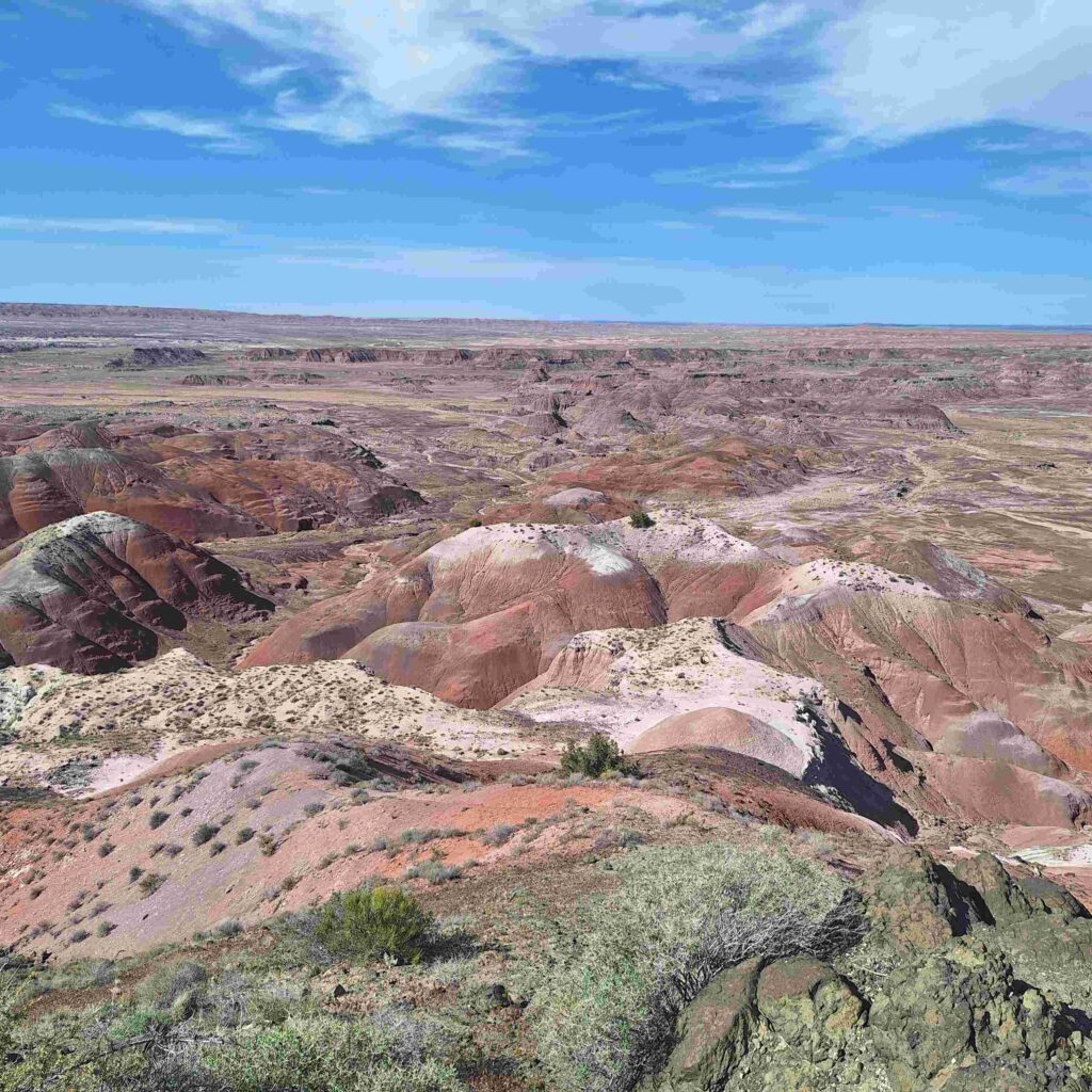
There were many outlook points to the Painted Desert. The pictures do not do it justice. The pinks, corals, blues and other colors of the desert were breathtaking.
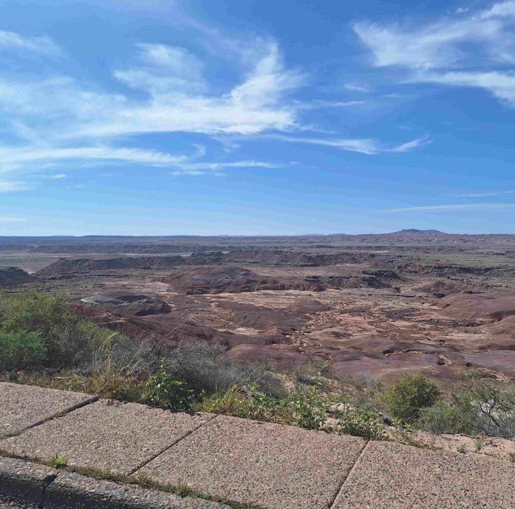
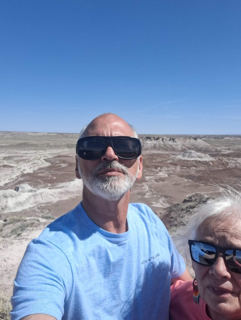
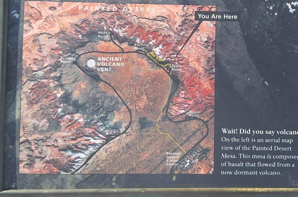
Our final stop was at Tawa Point, where Steve got a quick one mile walk out (and a mile back) along the canyon rim to Kachina Point.
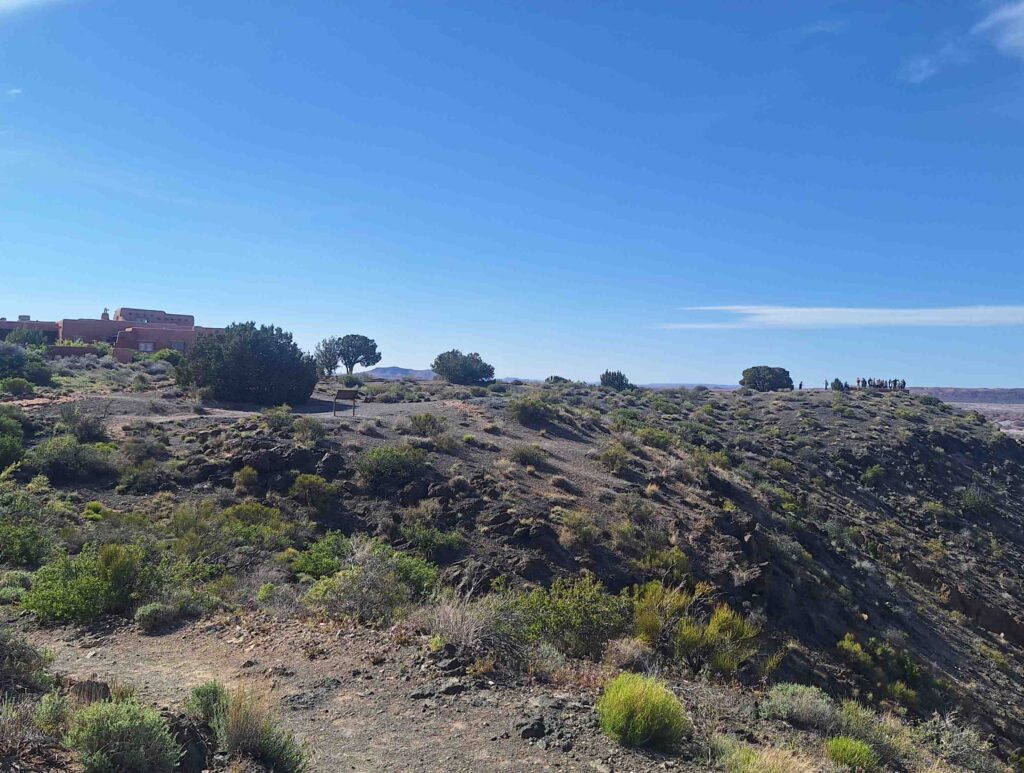
The different sedimentary rock layers are capped with lava. There was a volcano near Tawa Point.
V: Lexie and I took a shorter walk and met Steve on the trail. The Petrified Forest and Painted Desert is an area full of prehistoric fossils of dinosaurs, plants, early mammals and some fierce crocodilian creatures when today’s Arizona was a tropical climate much further north in Pangea. This is a paleontologists delight. That 28-mile drive was filled with sights that our cell cameras just couldn’t do any justice with. I hope our pics can give you an idea of the beauty we experienced.