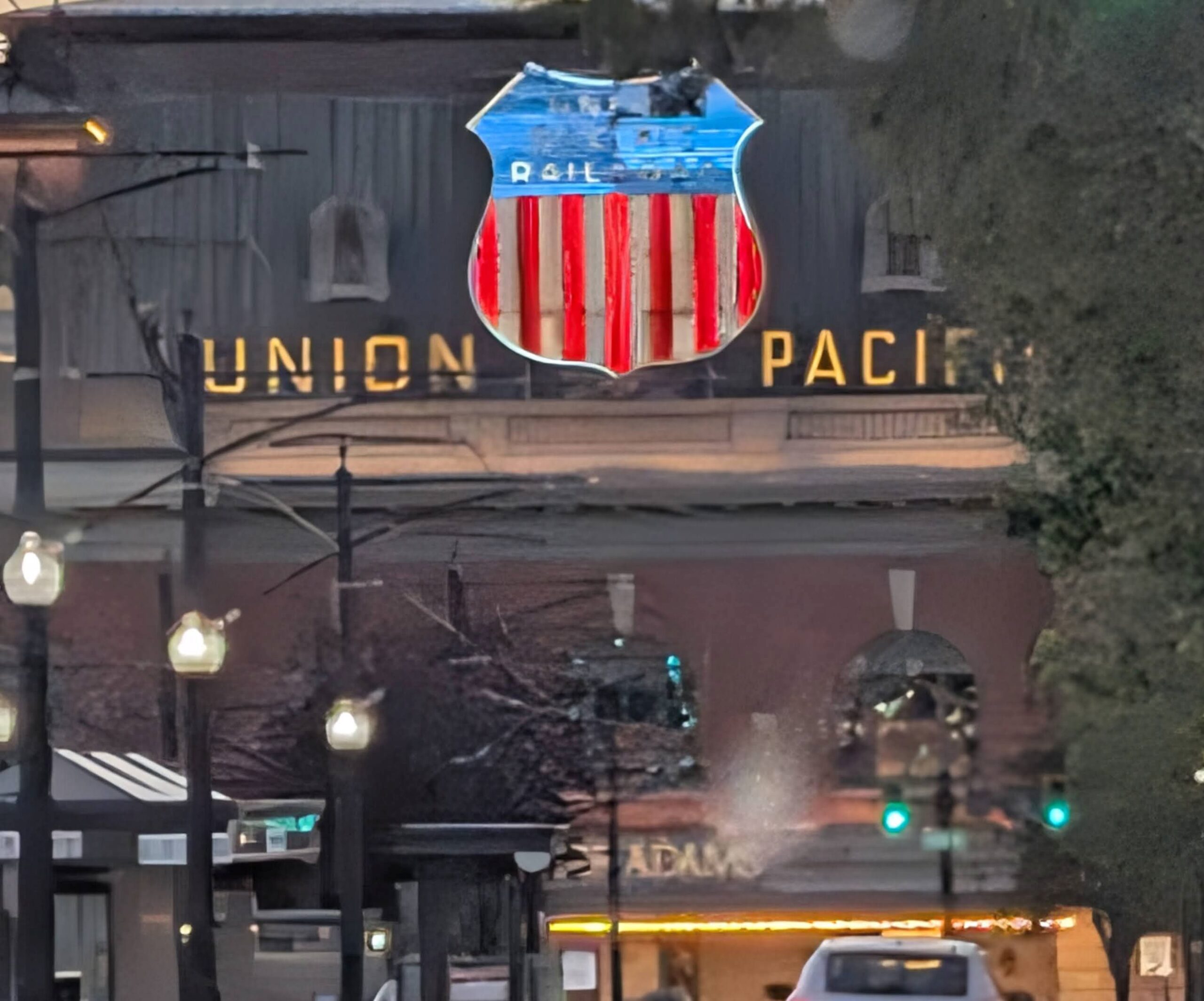
Tuesday morning was an easy going morning, our last morning in Moab. Steve picked up some groceries (mostly liquids) and then a couple of McDonald’s breakfasts (hotcakes, sausages, eggs, etc.) Our next stop was only 45 minutes away, so we took our time leaving.
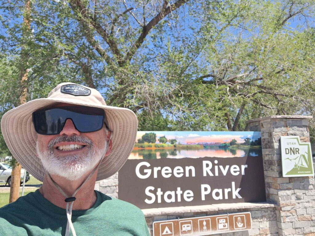
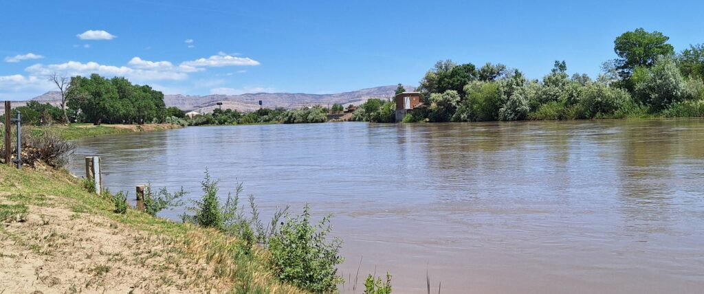
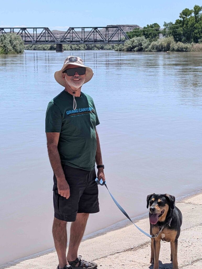
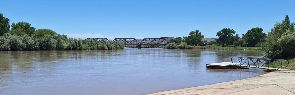
We drove to Green River State Park. The Park’s most prominent feature is that it is on the Green River, and next to a golf course (disc and little white ball). It got into the 90’s both outside and inside the RV! We had plans to go to Goblin Valley State Park, but the weather was too hot! And the noticeable sights in Goblin Valley SP required hiking off the road at least a mile.
V: The day turned out to be a blessed REST day – no tours, no long drives, just HOT. The river was in our view but no swimming signs were posted as it was a pretty quick current at our campground and no beach to tempt us. We jumped in the Mini Cooper to check out the town. That didn’t take too long either! Reading and relaxing are also activities!
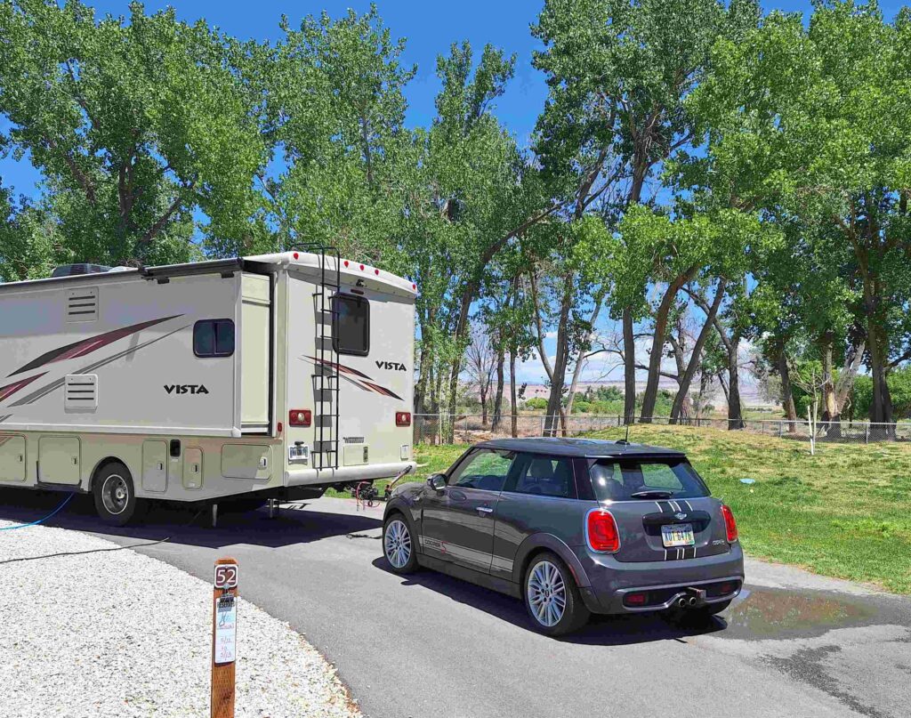
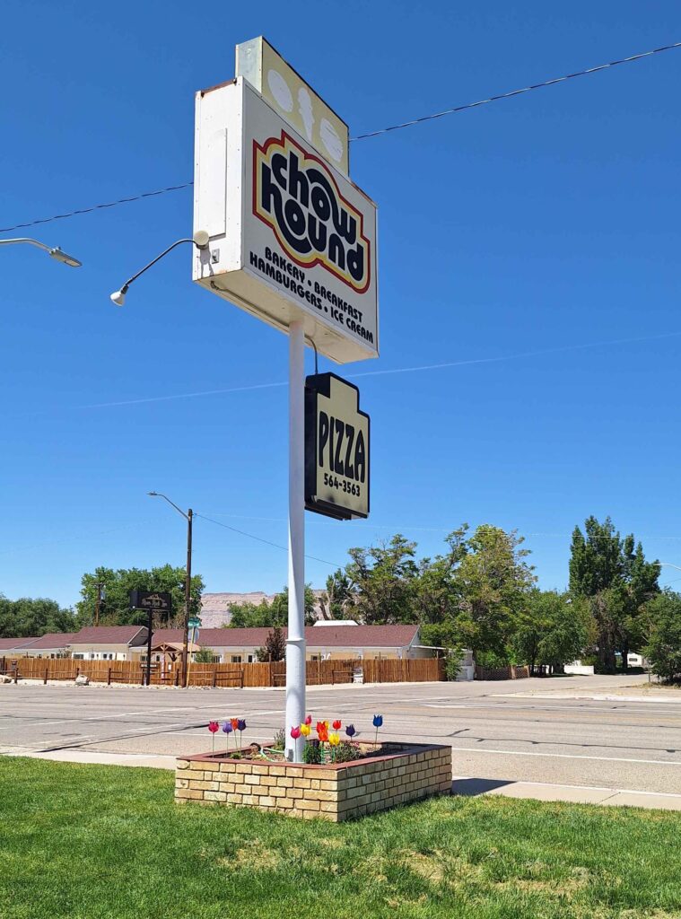
So we decided to have ice cream from Chow Hound in downtown Green River and shelter by the RV.
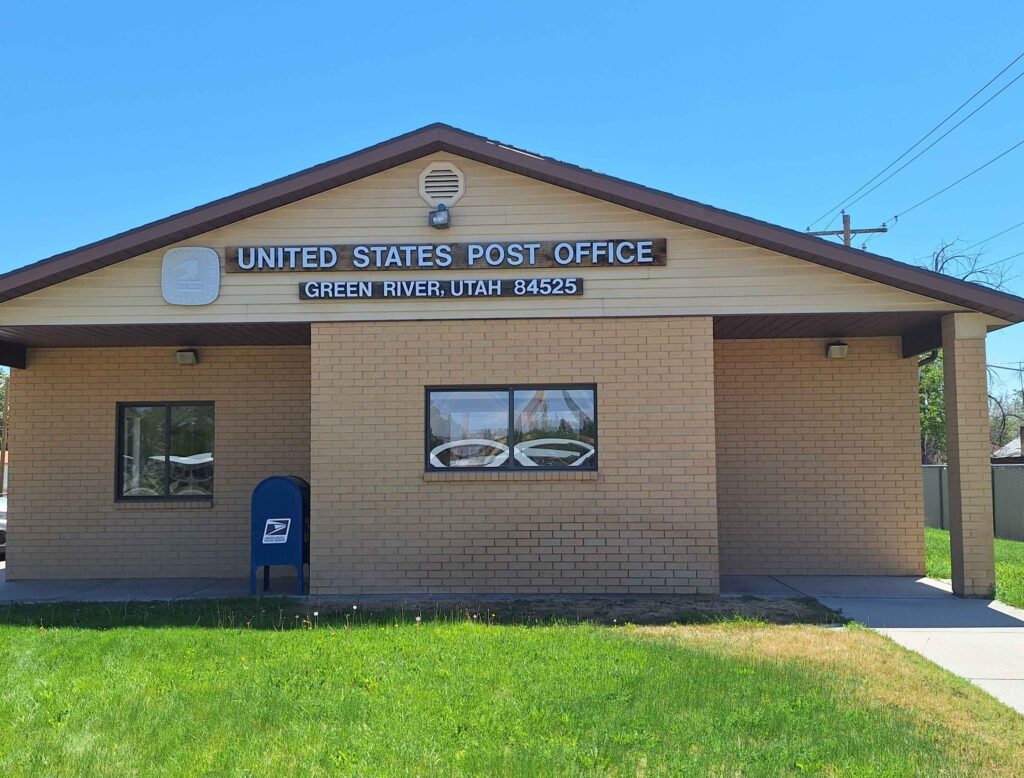
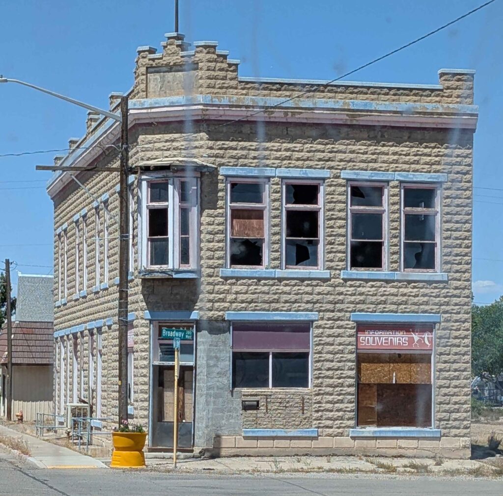
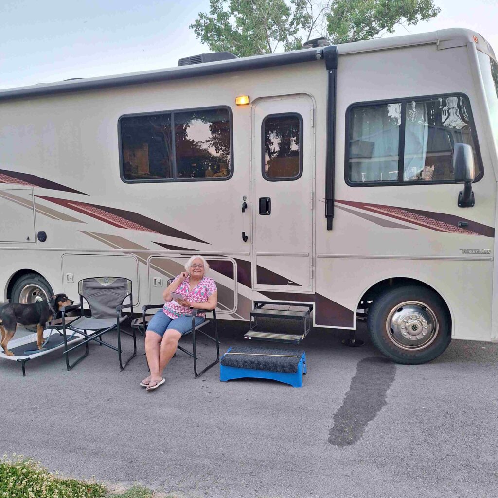
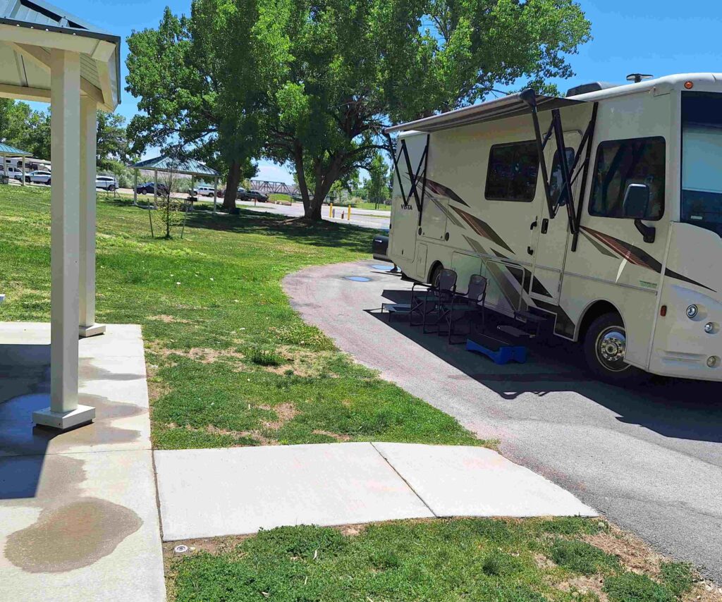
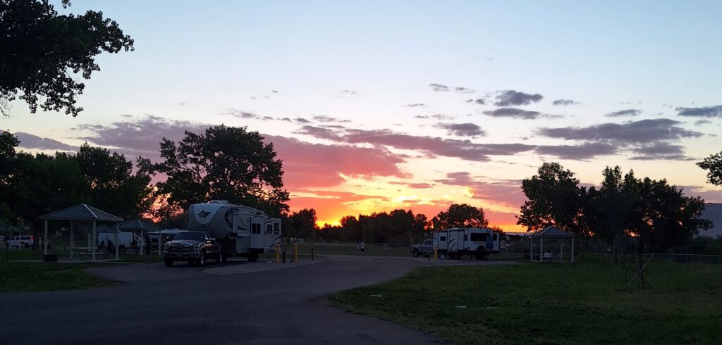
Steve didn’t like the initial set up of our first site at Green River SP and hastily asked for an alternative. V: Our RV door opened right onto the main park road, ON the road – not safe. The new site was not shaded, and we had a hot afternoon (that lasted until 7pm). And we had the opportunity to learn something new – go for the shady spots. The first spot was better shaded. V: every day is a learning opportunity.
We started early (9am) on Wednesday to get to our next stop, Willard Bay State Park. We left early because the forecast for winds increased as the day went on. This road took us along the Book Cliffs mountain range and through the Wasatch Range.
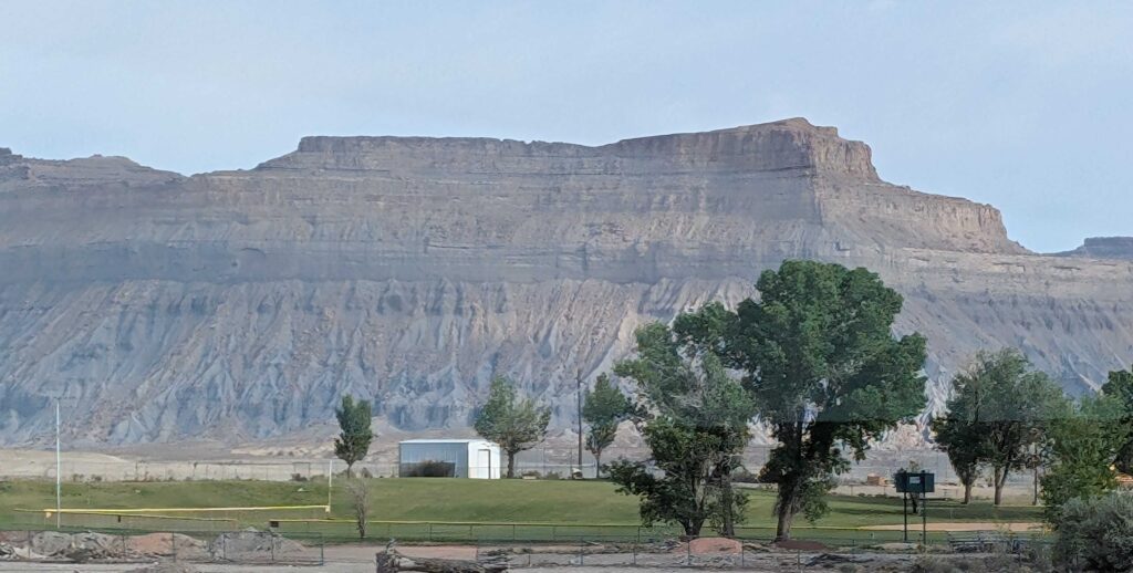
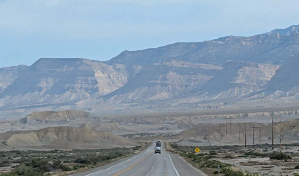
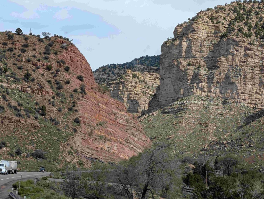
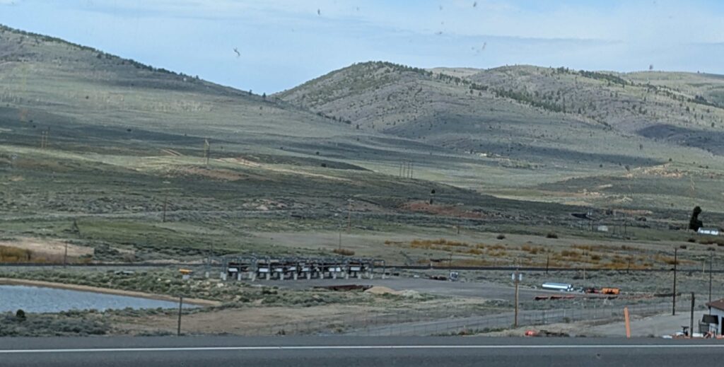
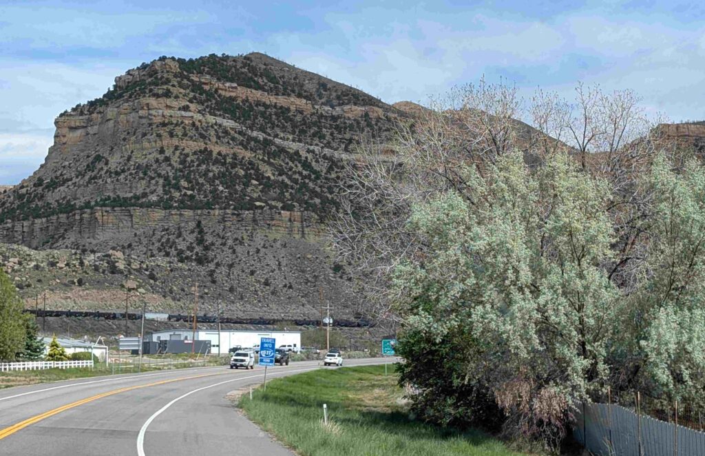
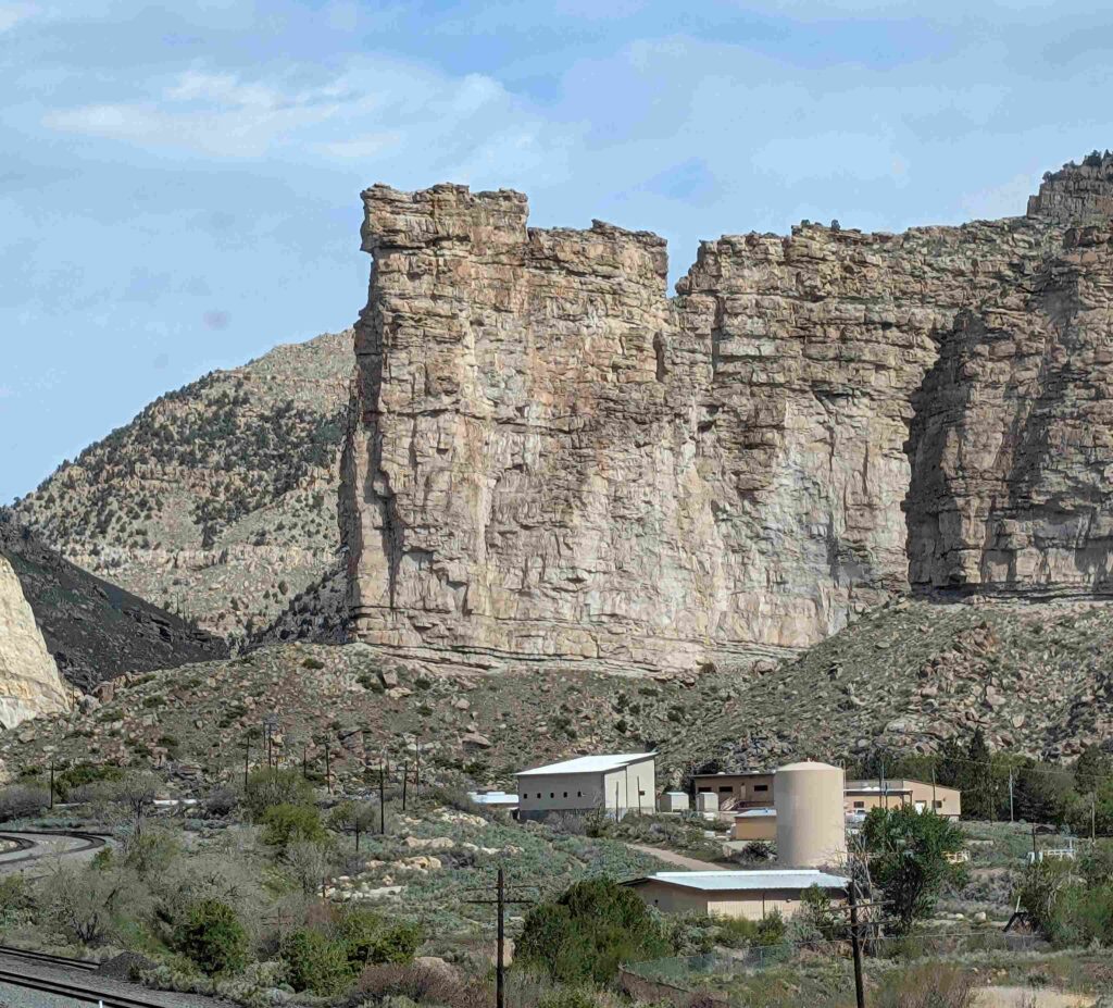
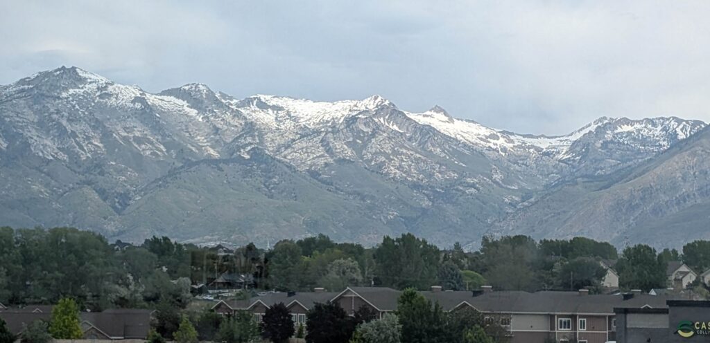
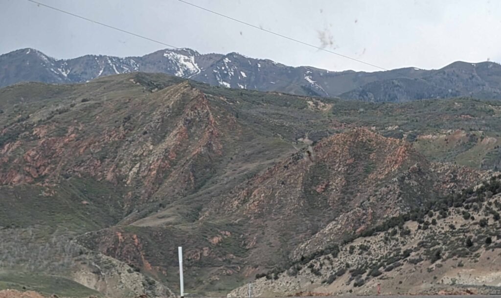
V: We emerged from the mountains into the Salt Lake basin. Provo looked like a spread-out suburb from the road, population 115,000. Driving through the Salt Lake City area (pop. 215,000), we could see some tall buildings in the distance. We were pretty underwhelmed by Salt Lake City as seen from the highway. Our plan was to overnight at Willard Bay state park and back on the road the next morning. I’m glad the plans changed. I say it’s a God-thing.
We arrived just before 1 pm, a couple of hours before normal check-in. But since our site was open, we were able to check-in and set-up. And we were glad we started early. The local winds picked up around 3:30 and nearby areas had severe thunderstorms.
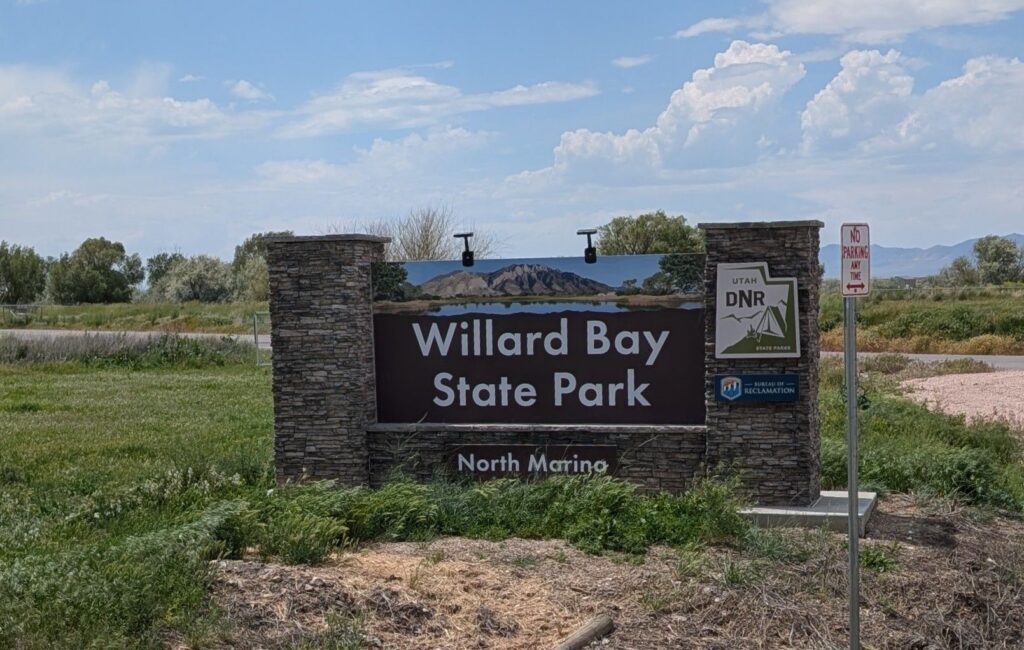
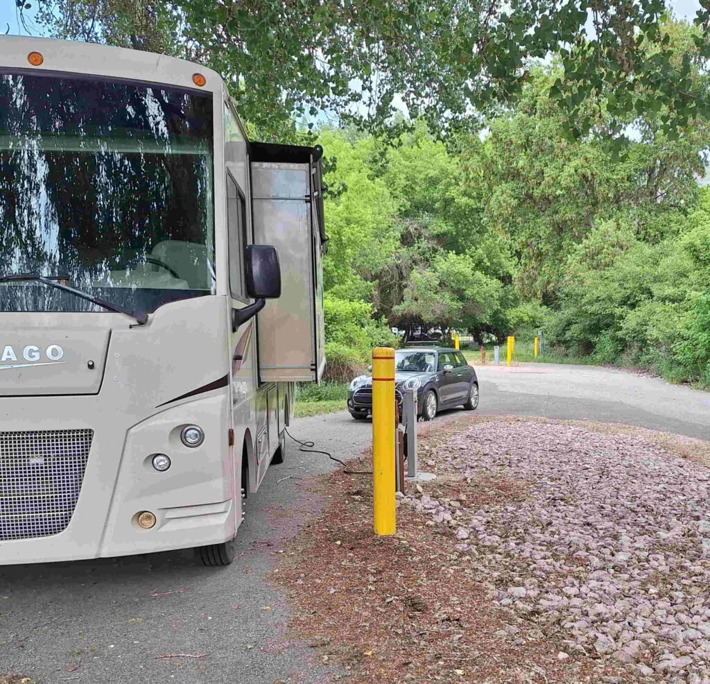
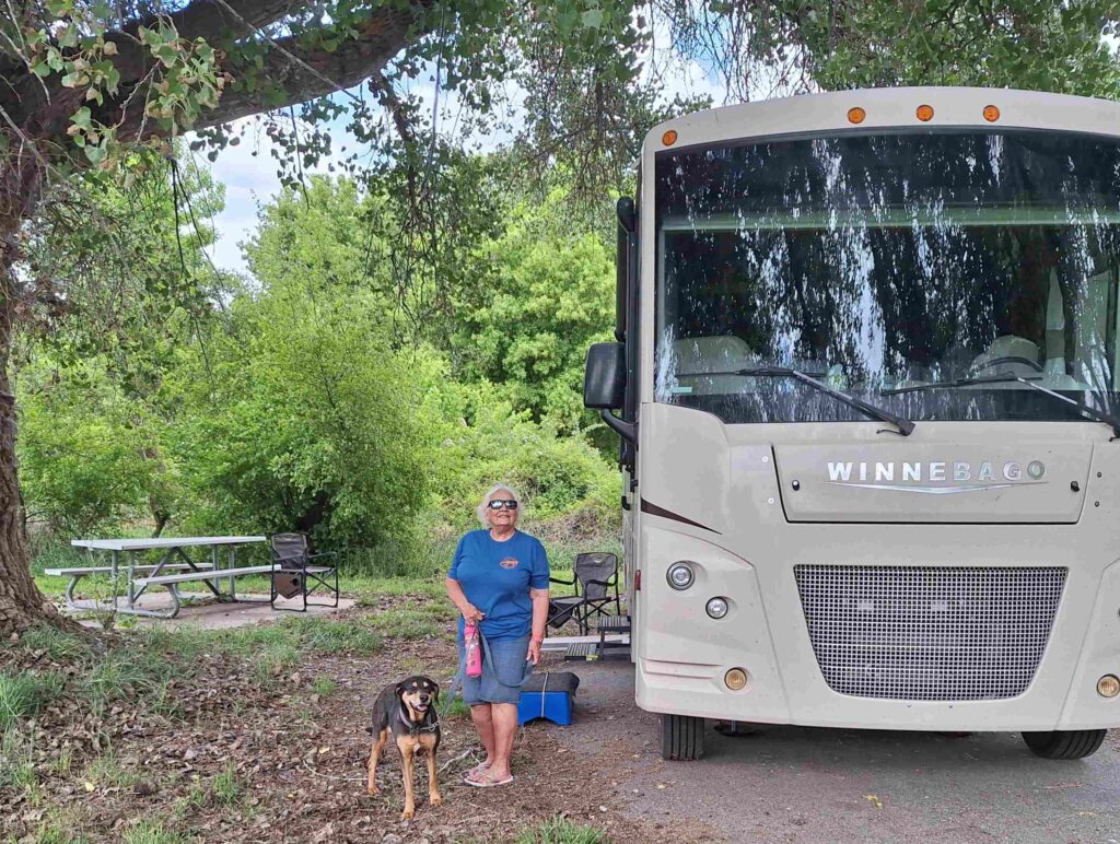
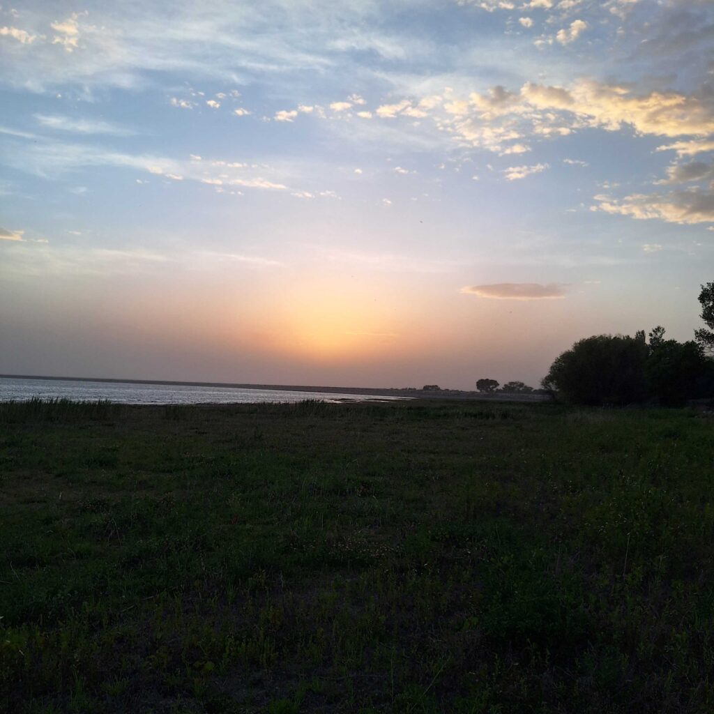
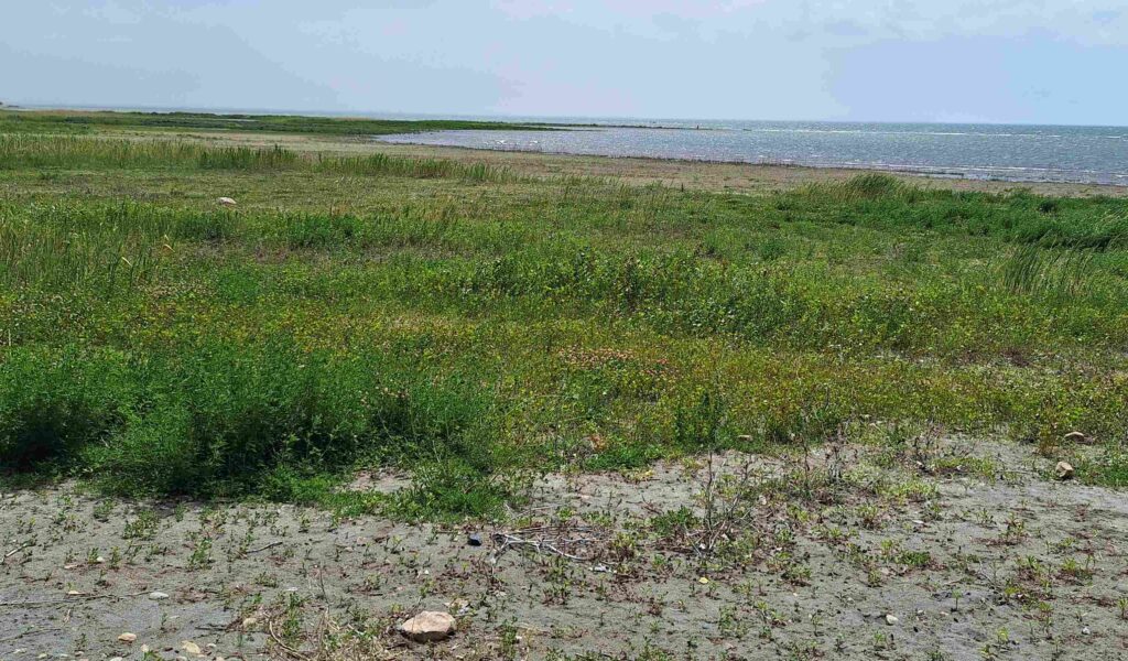
Willard Bay is a fresh water bay off of the Great Salt Lake, separated by a dike. Birds and mountains were visible from the shores of the bay.
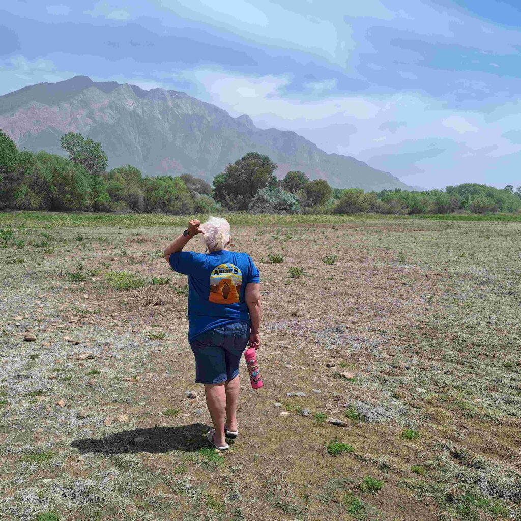
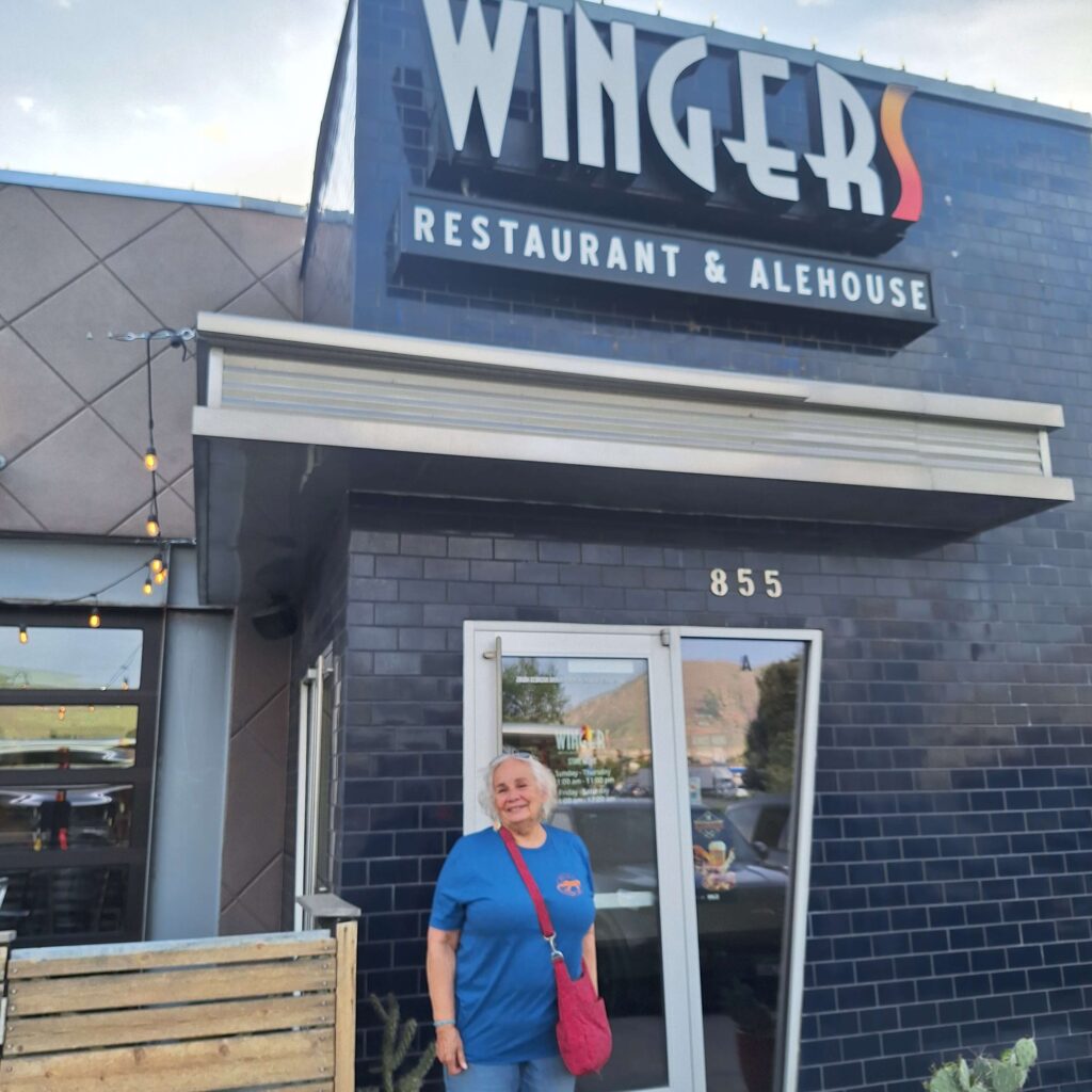
The weather cleared up for us by 4:30, so we went into town (Brigham City) to eat at Wingers (a regional chain) and shop at Walmart.
The winds in Idaho were forecast to exceed 35mph, so we changed our plans. We stayed near Salt Lake City for two additional days, planning to drive to Grand Tetons/ Yellowstone on Saturday morning and missing the Craters of the Moon National monument.
Thursday was a day for unplanned activity. We found a bus tour of Salt Lake City that included listening to the Mormon Tabernacle Choir and orchestra rehearsal. The tour started at 5pm at the Radisson Hotel, and we left for Salt Lake City around 2:30 to allow for traffic.
We arrived early enough to grab some food (fish tacos and soup) at the hotel’s restaurant: Copper Canyon. The food was goof enough to keep the hunger pangs away during the tour V: and was amazingly delicious, especially for a restaurant located in a hotel.
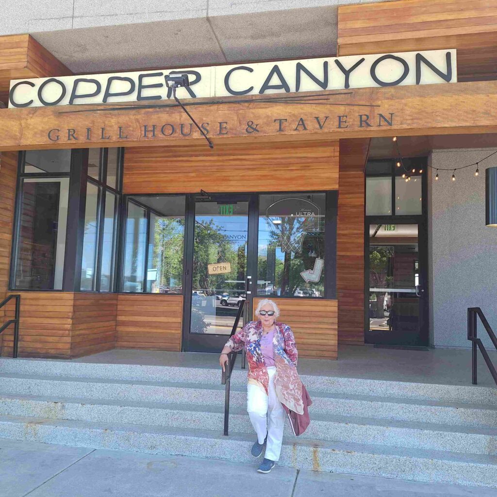
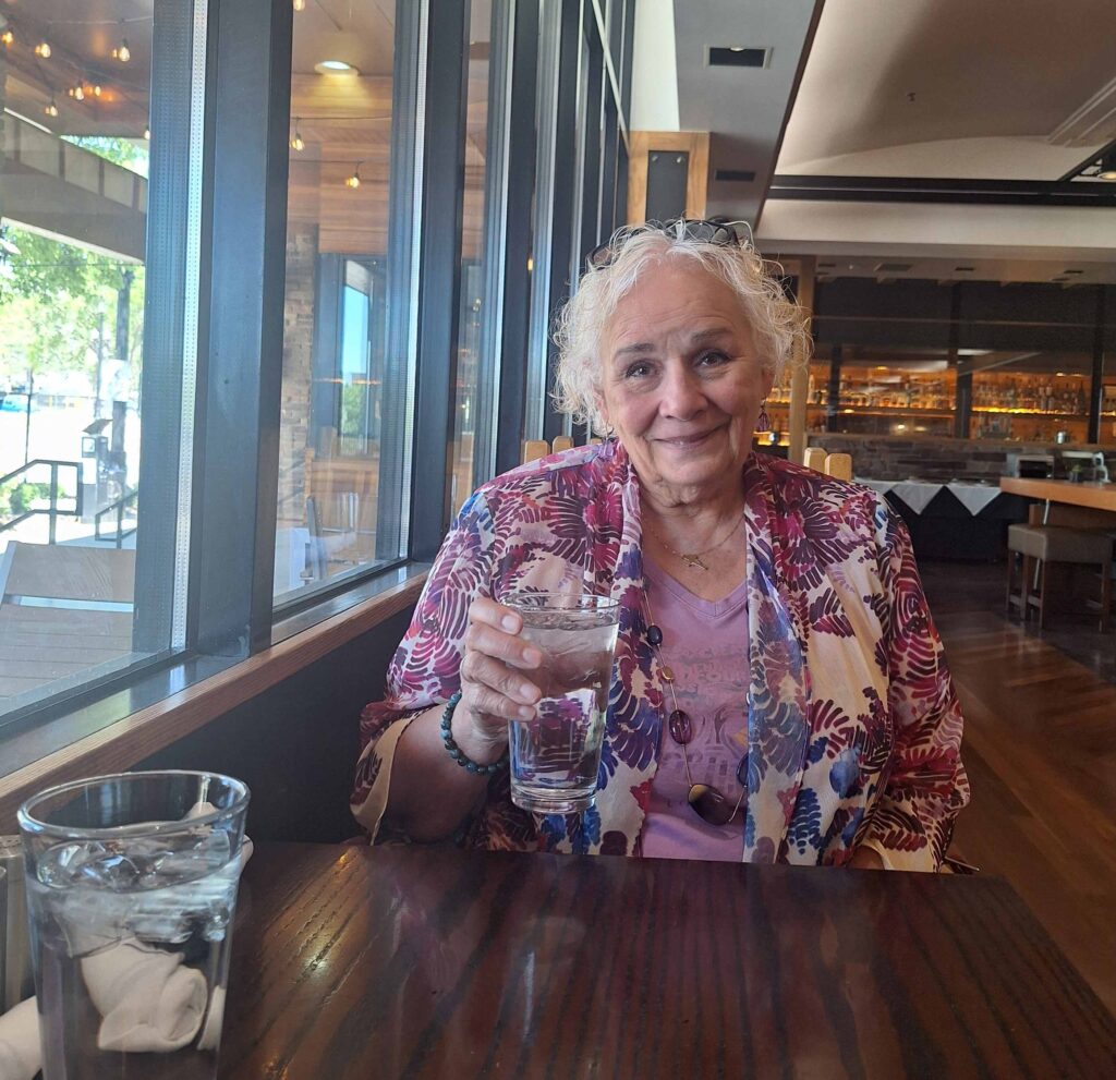
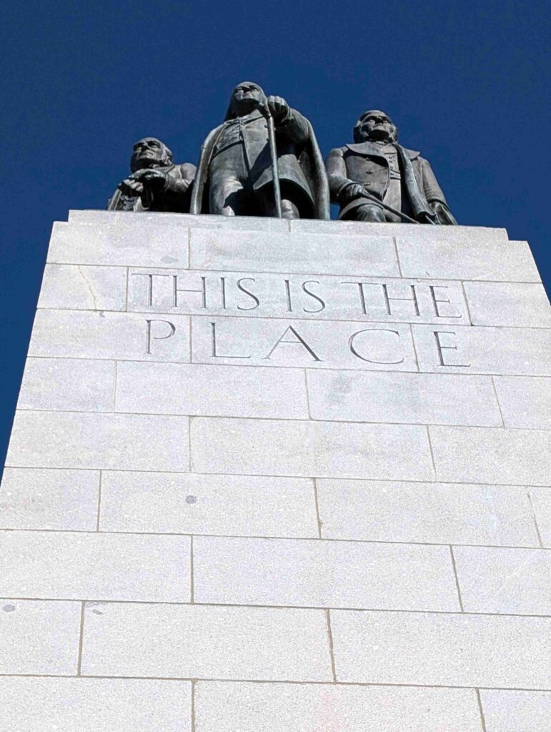
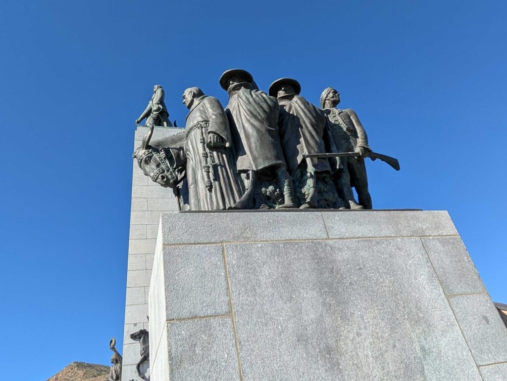
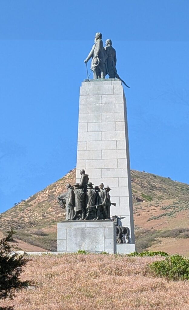
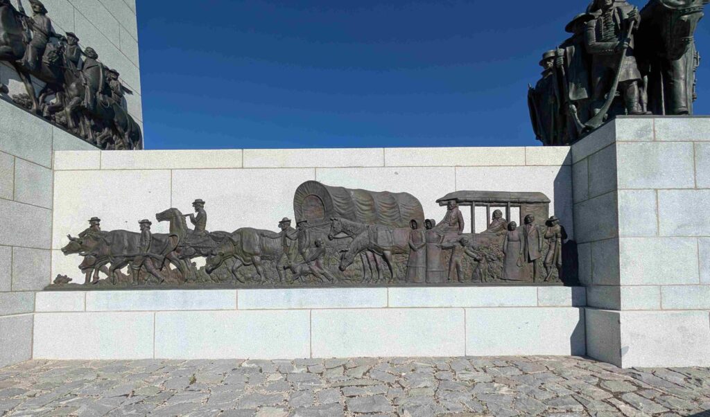
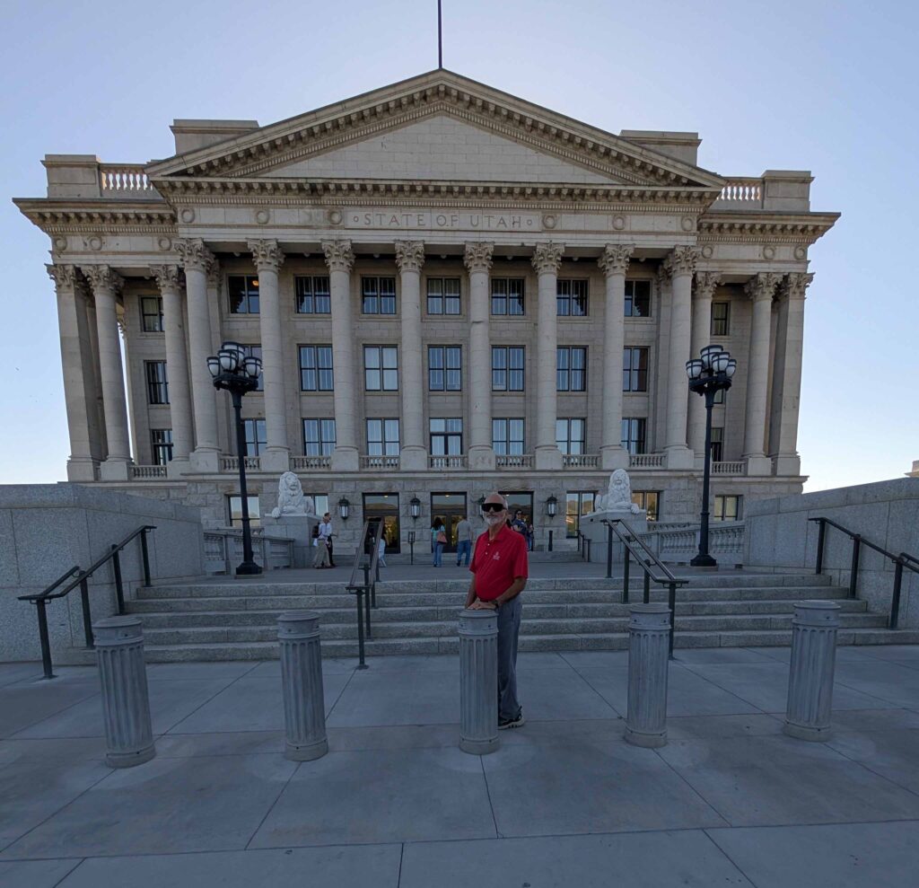
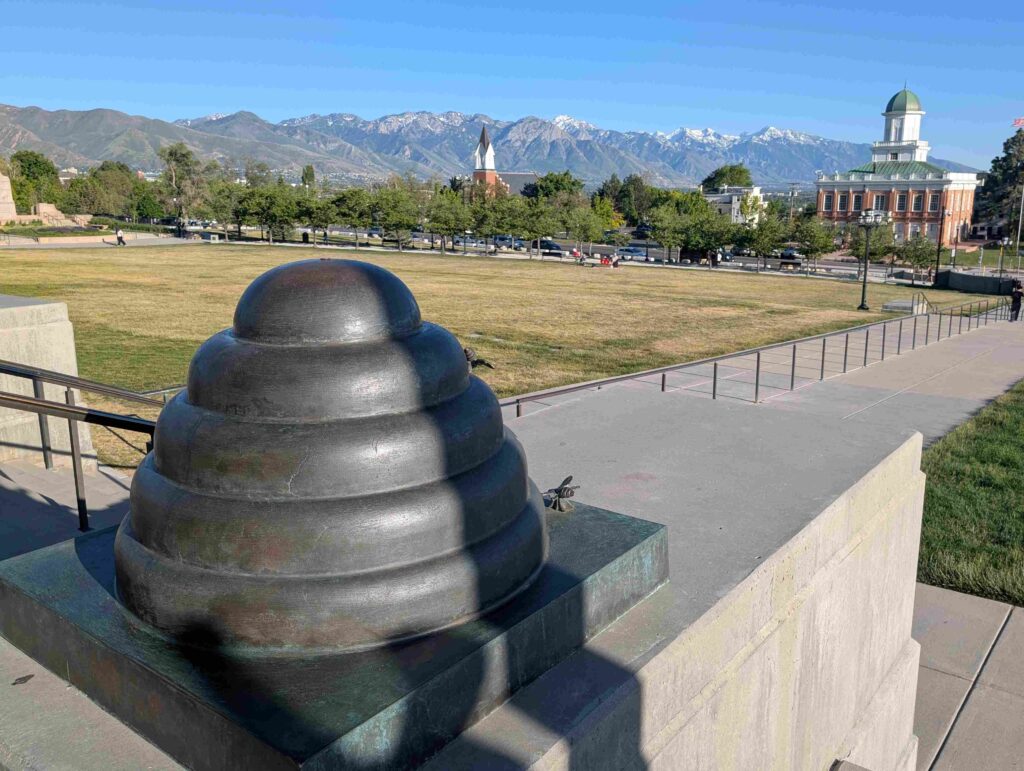
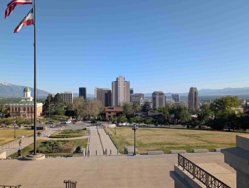
The tour first took us to This Is the Place Park, through the 2002 Olympic Village on the University of Utah grounds, into the state capitol building, and through the historic area of Salt Lake City. The Mormon Tabernacle Choir rehearsal was the last stop.
This Is the Place Park was close to the canyon that Brigham Young exited and first saw the Salt Lake Basin. He said “This is the place” and the Mormons proceeded to cultivate this inhospitable land. The park claims there were were no known indigenous people living in the basin.
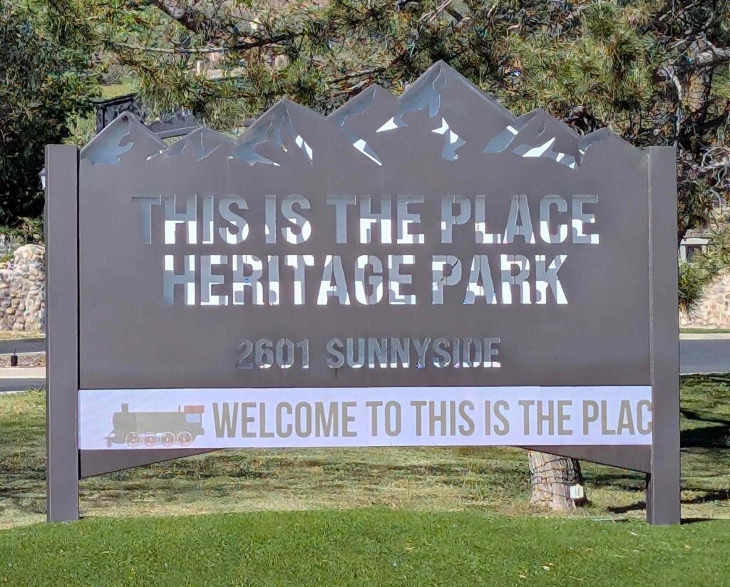
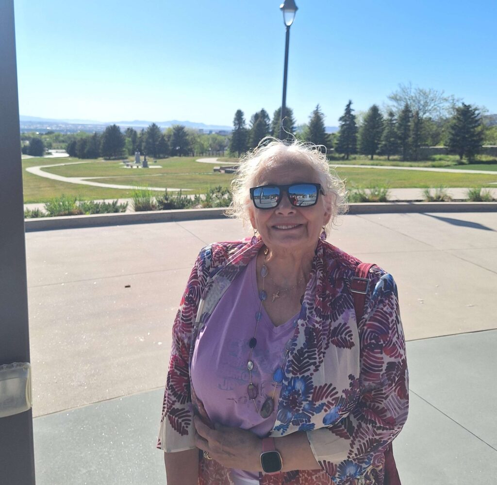
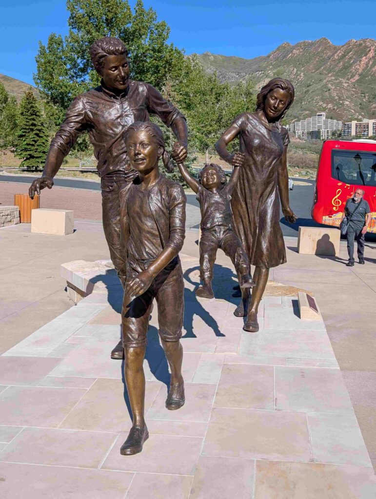
The centerpiece of the park is an array of statues giving homage to many (all?) of the different groups of explorers and settlers to Salt Lake City.
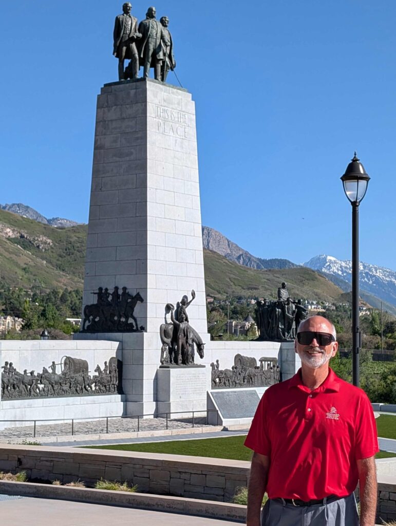
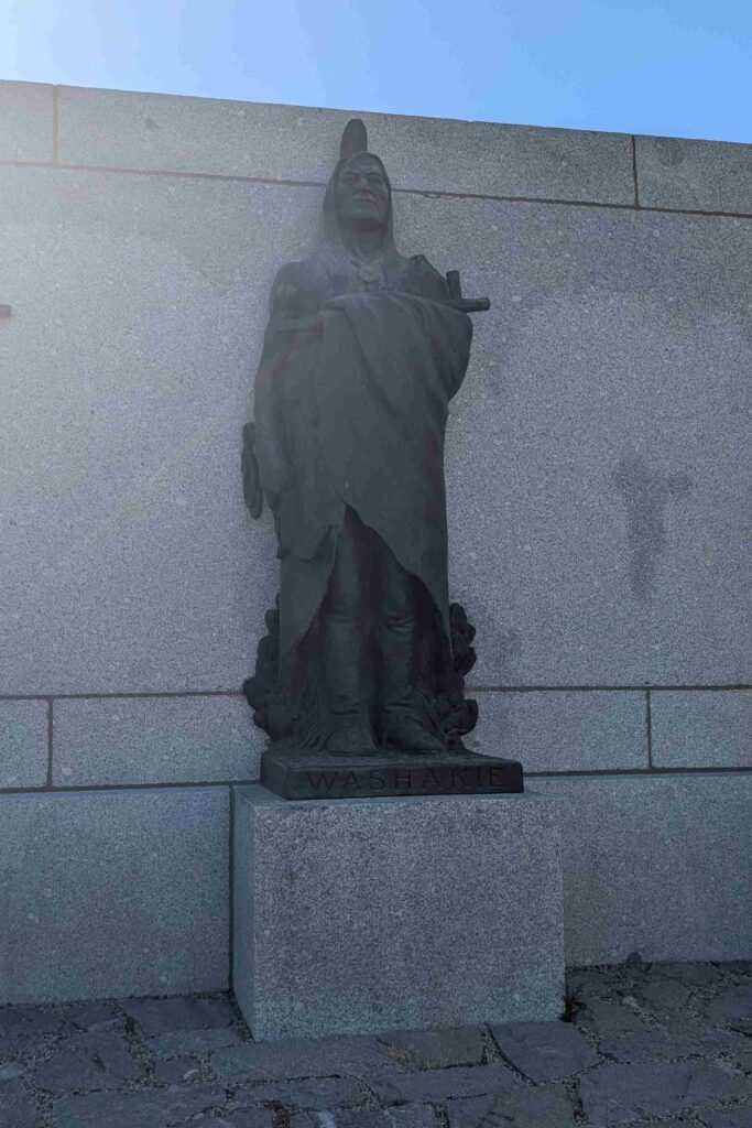
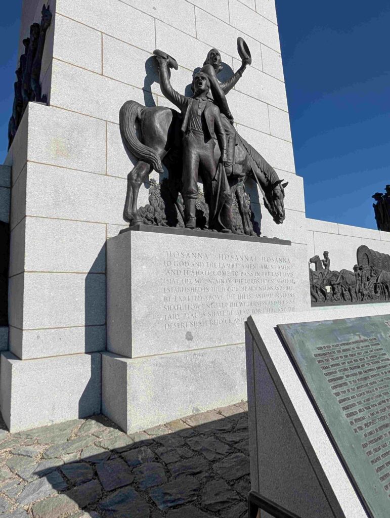
Salt Lake City was the home of many wealthy people during the latter part of the 19th century, mostly from copper, gold and silver mining, railroads, and transcontinental commerce (e.g. Montgomery Wards). We saw their mansions lined along the streets.
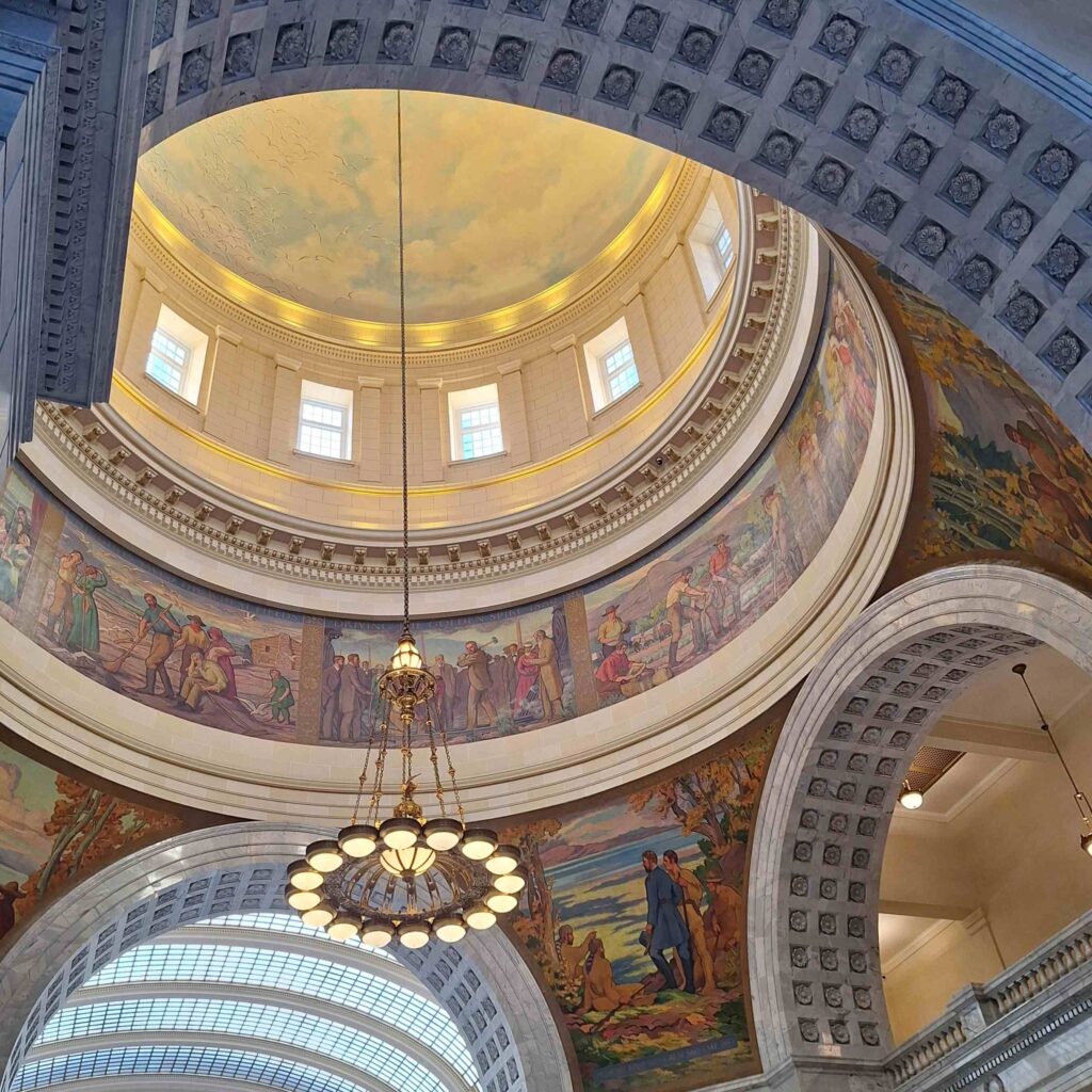
The state capital was tourist friendly, and the inside center hall had many paintings on the ceiling depicting many of Utah’s historical events.
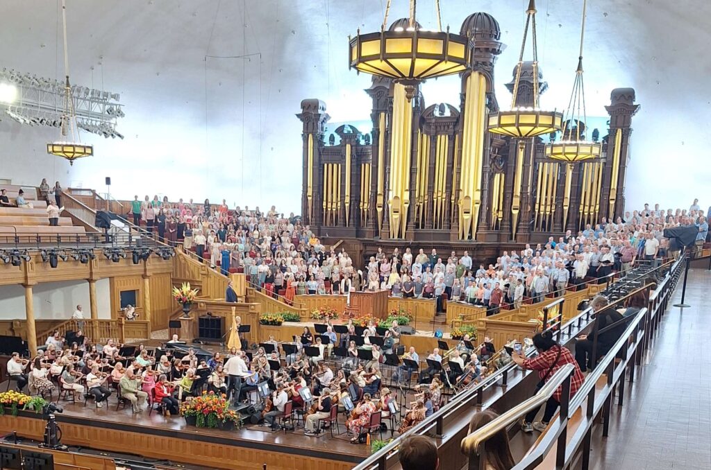
V: Experiencing the Tabernacle Choir and Orchestra rehearsal was a special experience for me. I have long loved choral music, as a participant, director and listener. I was so moved by the music and vocals.The sound was heavenly! The director was stopping and correcting on the spot and these talented musicians/vocalists perfected their performance, as directed. This is a professional and completely voluntary group of 360 members. A former member joined us on the bus and gave us the insider view of what it was like to be a choir member. Besides the weekly church telecast which is broadcast live on Sundays, the group travels extensively throughout the world. Attending the rehearsal means we can record and take pictures as it is not a broadcast event with rights owned by the church or broadcasting company. There is a strict selection and audition process, members have to be active Mormons, must be between 22 and 55 when joining, can serve 20 years, attend a strict rehearsal schedule and of course, be able to travel for tour dates. Tour costs are covered by the Choir organization. What a thrill for me! This was not part of our original plan and we wondered what on earth we would do in the Salt Lake City/Ogden/Brigham City area for 6 days as opposed to the 1 day we planned for. We were even able to attend a live church service instead of doing online church. God had a better plan. We were blessed, we relaxed, we did some different things and enjoyed not rushing on to the next thing.
The weather forecast for Saturday through Monday for Jackson Wyoming looked dangerous for travel: high winds or snowfall, coupled with expected temperature lows near 20F. We are chilled but comfortable in the RV when the outside temperature is in the high 20s, we didn’t want to experiment with temperatures in the low 20s. So we extended our stay in Willard Bay SP for another 3 days with hopes that we could still get to Yellowstone and Grand Tetons national parks for an abbreviated stay.
Friday: We spent the morning rearranging our campsite schedule (and looking at alternative dates that will keep us safe from inclement weather). We extended the stay at Willard Bay for six nights! While the site we are at is nice, we don’t have many adventures planned for this time.
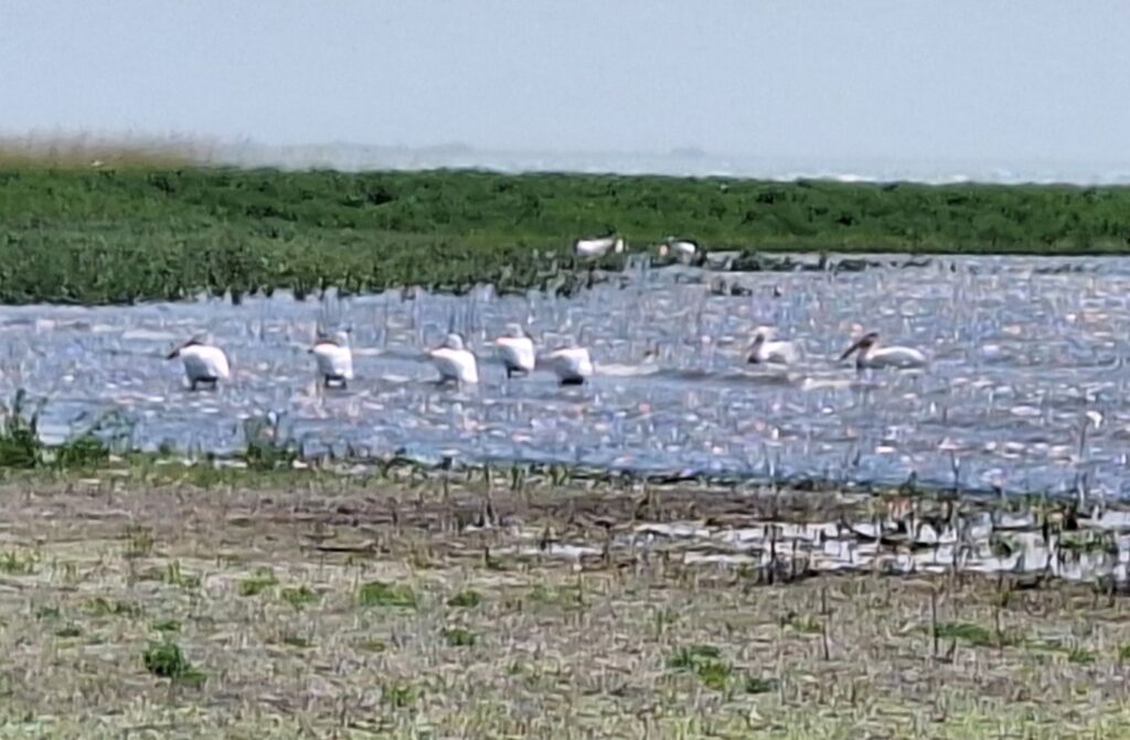
A negative about this park is that it is full of cottonwood trees. That are seeding! So there is cottonwood trash all over the place. On the other hand, this is the lushest park we have been in since Hot Springs, Arkansas. There are a lot of trees besides cottonwoods, a lot of grass and brush, some streams, and insects. V: we are on Willard Bay of the Great Salt Lake and seeing a lot of birds. First time ever seeing white pelicans with black wing tips and on an inland bay of all places.
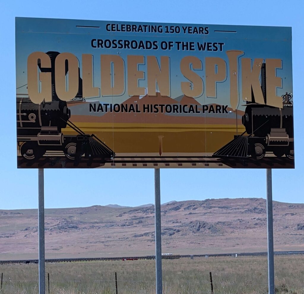
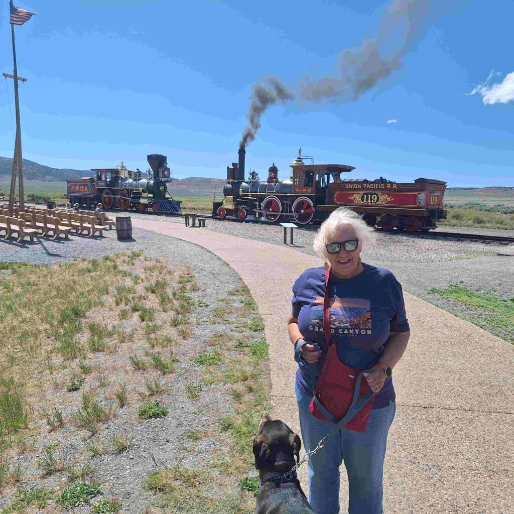
In the afternoon all three of us went to Golden Spike National Historical Park in Promontory, the place where the transcontinental rail joined the east to the west. We did not originally plan to go to this historic park, but it was close to where we were camping: west and north of the Great Salt Lake. We even got to see a couple of old steam powered engines enacting the meet up point. Lexie did not like the train whistles!
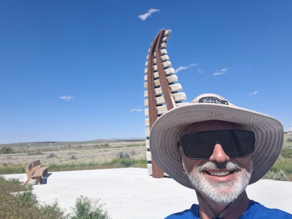
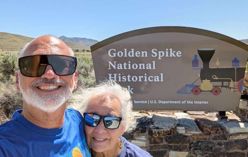
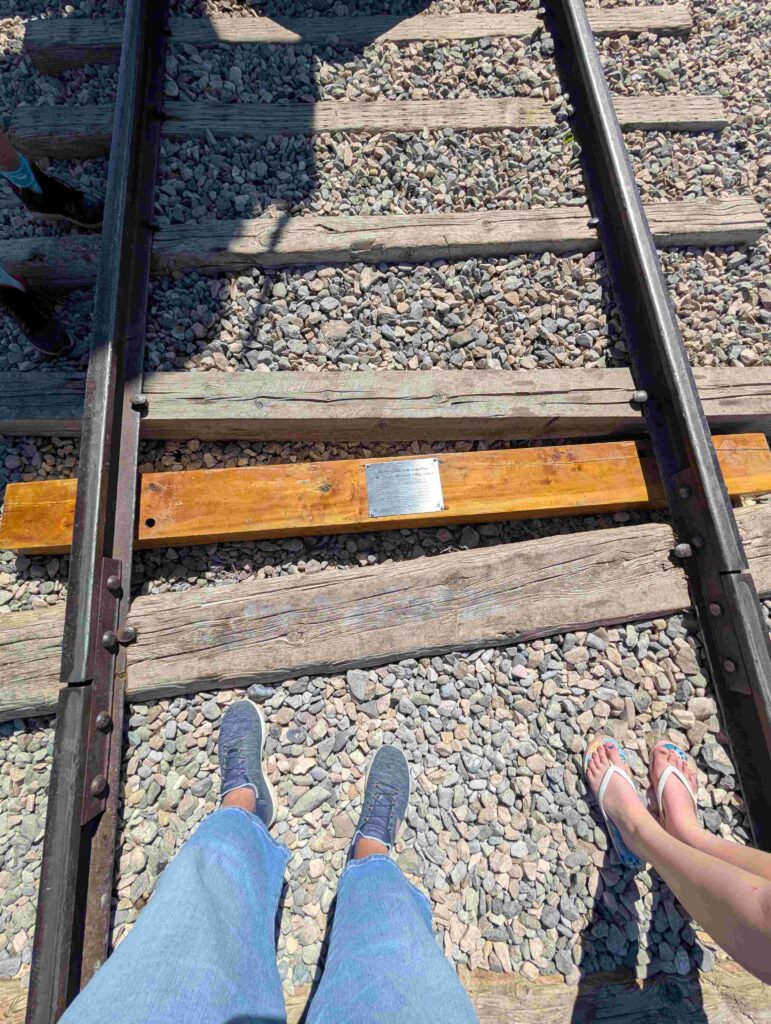
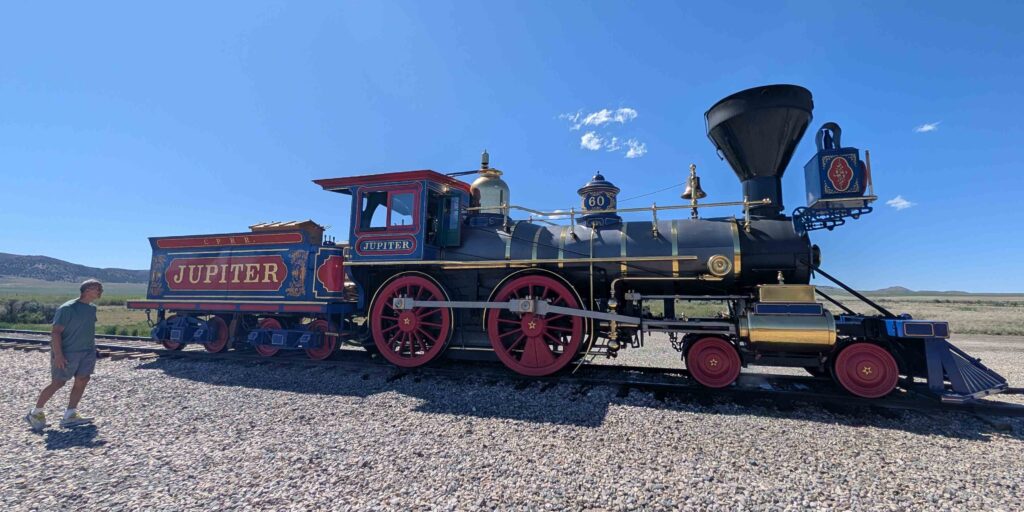
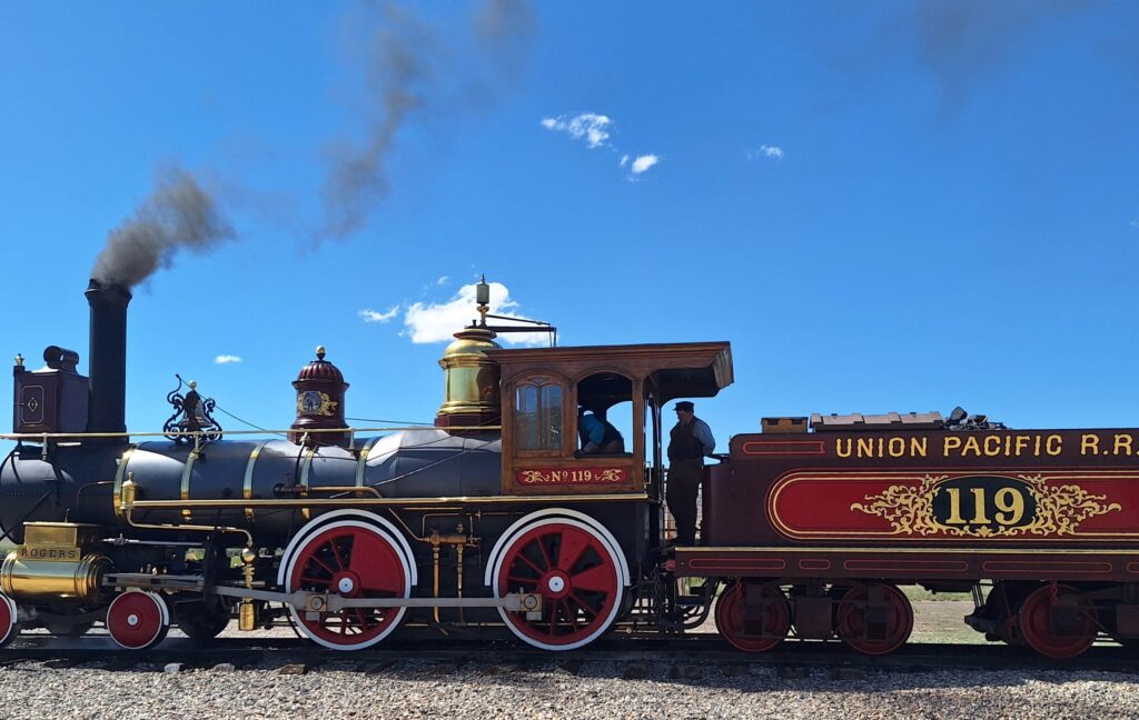
This railway through Promontory Point was abandoned when a shorter path with less incline was created by building a causeway across the Great Salt Lake.
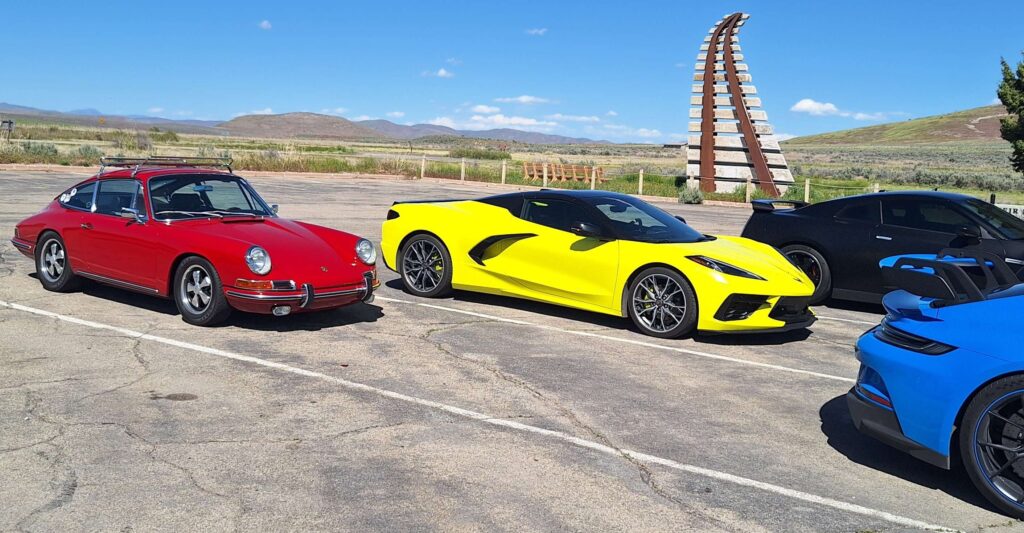
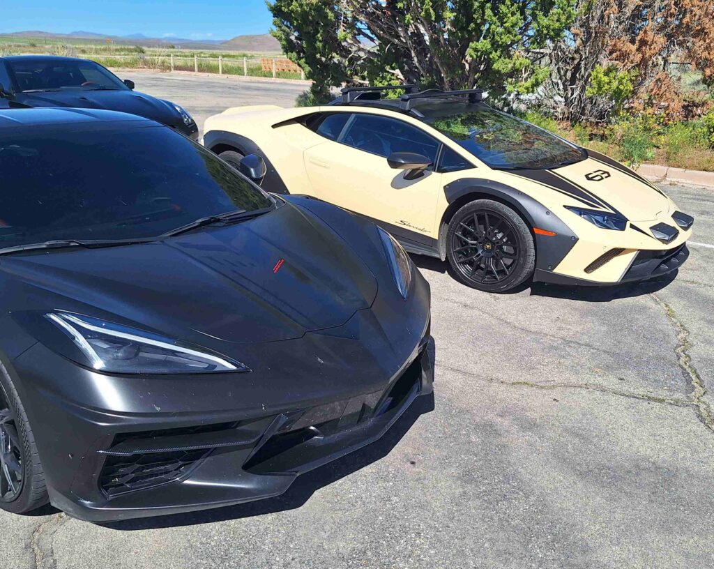
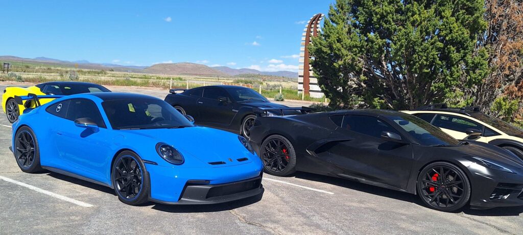
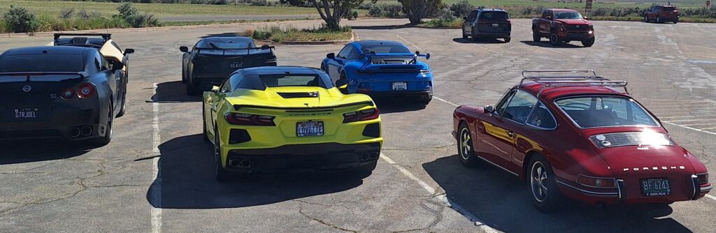
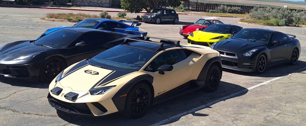
A six pack of performance cars parked near the Mini Cooper at the National Historic Site. Google Lens helped determine the car models.
Beige vehicle: 2024 Lamborghini Huracan Sterrato
Front black car: C8 ZR1 Corvette Stingray
Back black car: Nissan GT-R
Blue car: Porsche 911 GT3
Red car: late 1960s Porsch 911 (L or S)
Yellow car: 2020’s Corvette Stingray C8
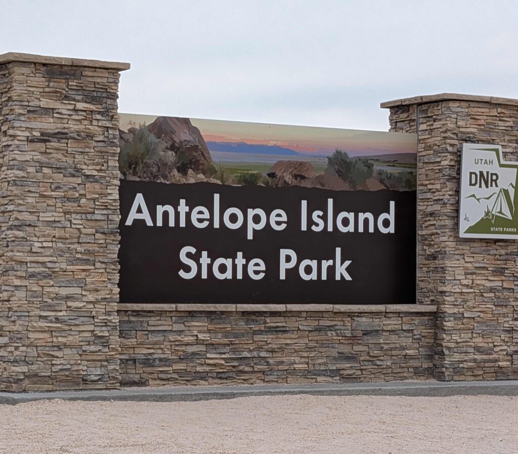
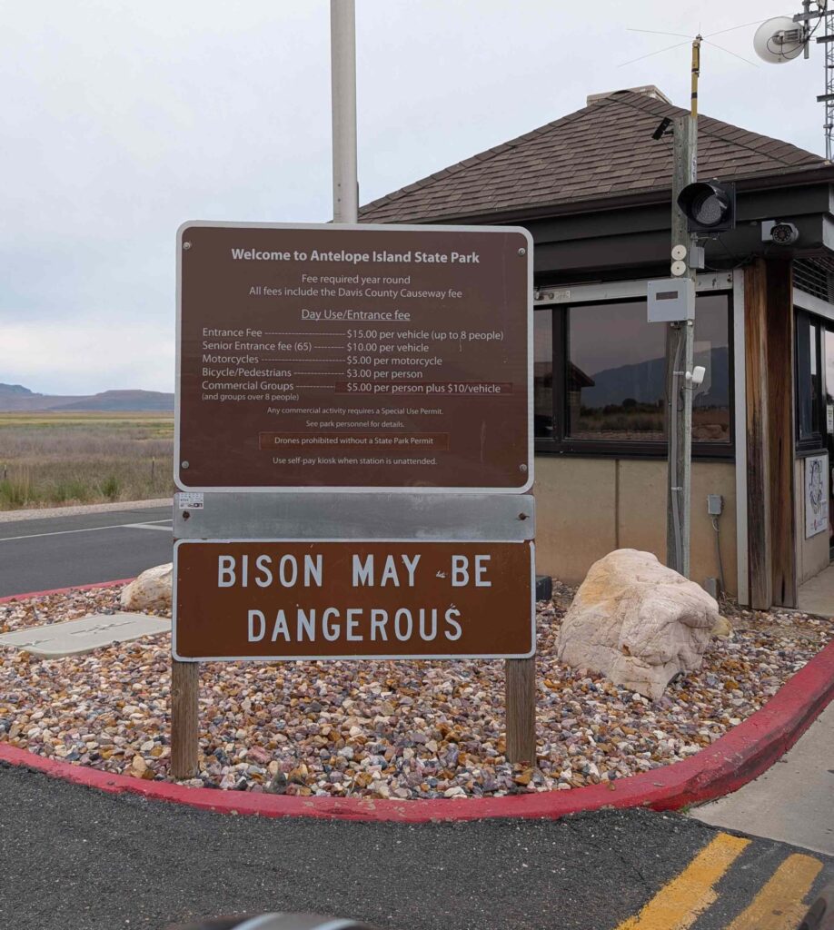
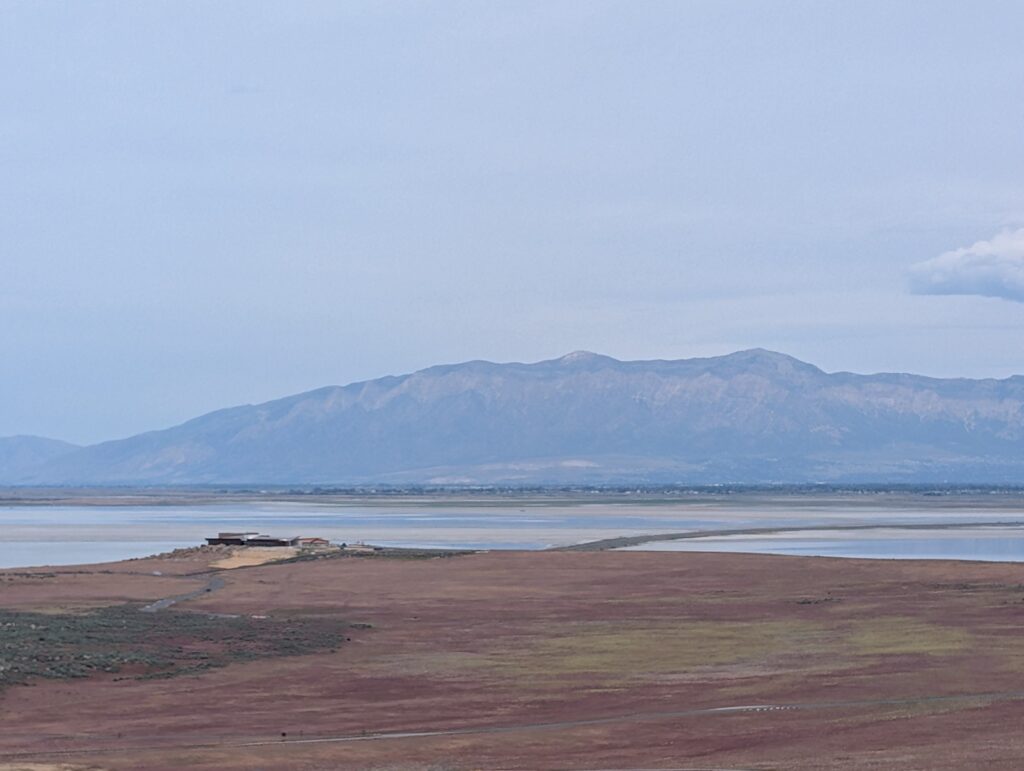
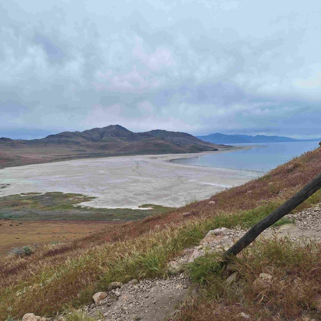
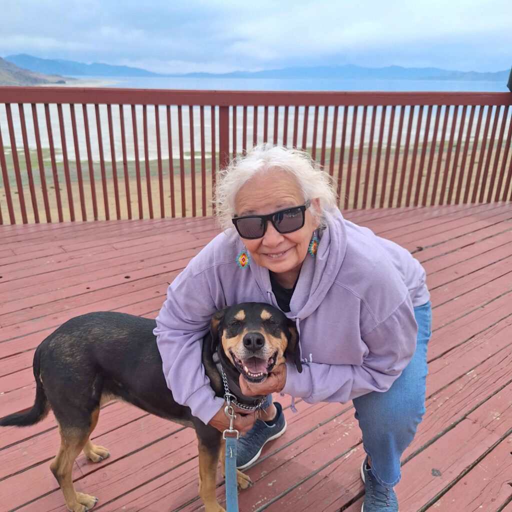
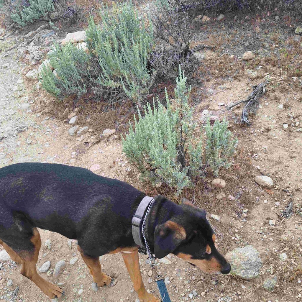
Saturday: We visited Antelope Island State Park. This is an island that is on the Great Salt Lake. And it was populated with American Buffalo (I know, they are actually bison).
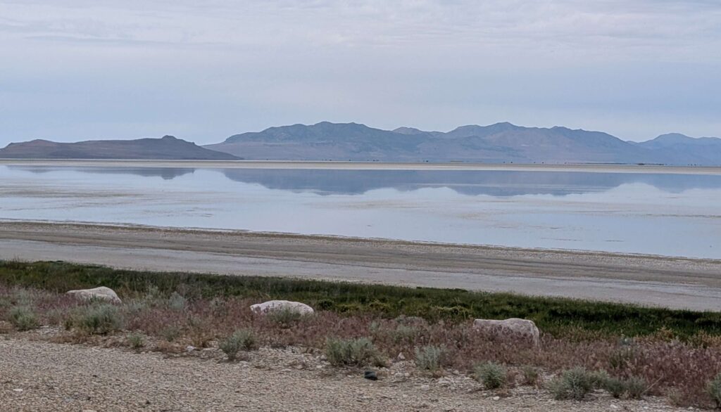
Steve and Lexie took a quick hike almost to the top of Buffalo Point. The views of the Great Salt Lake and the island were awesome. Buffalo Point is not the highest point on the island but it was easy to get to.
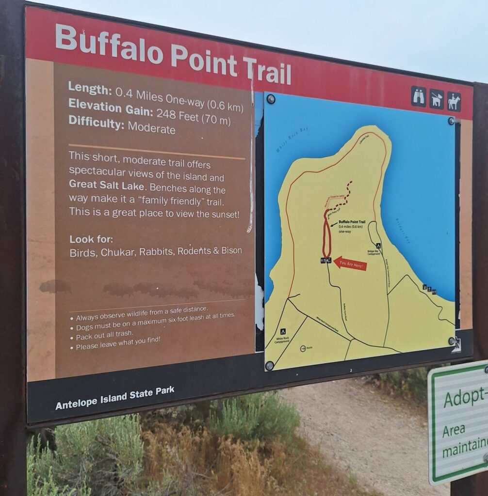
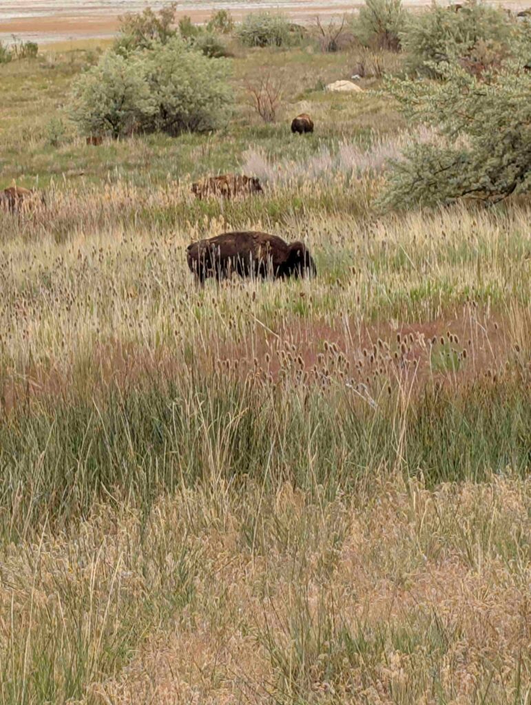
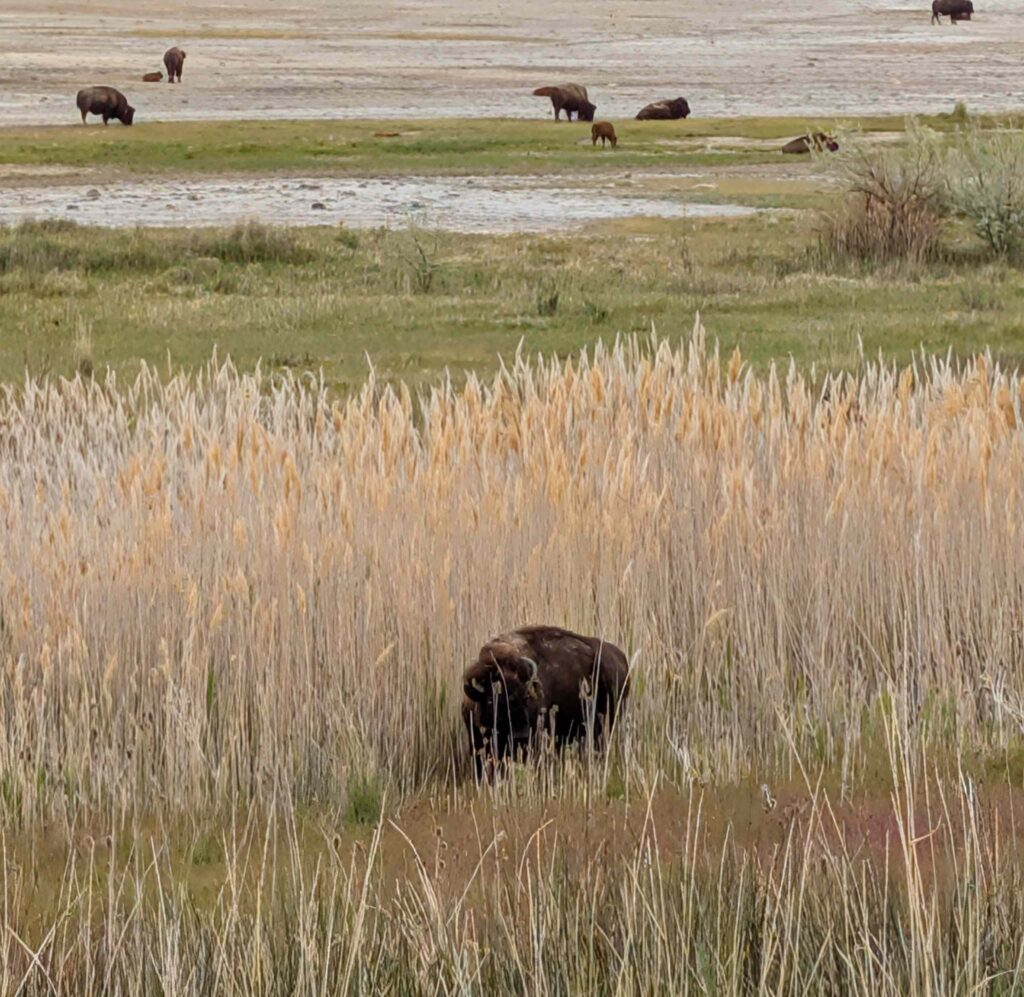
We did see a herd of bison about seven miles south of the entrance. We saw babies and mommas wandering around. They were huge, and the ones closest to us were loud while eating the reeds.
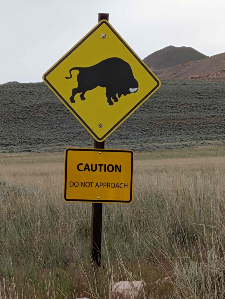
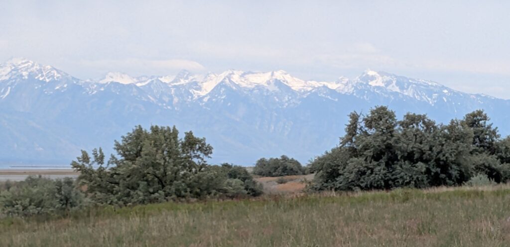
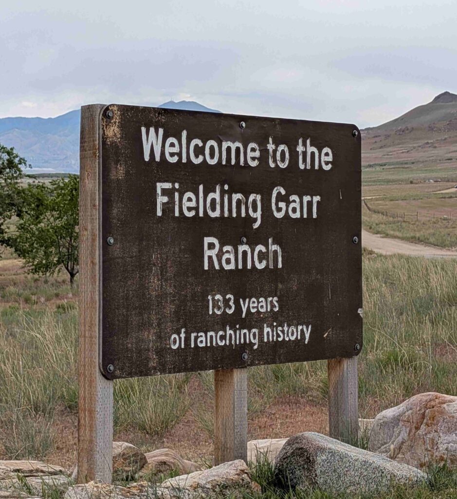
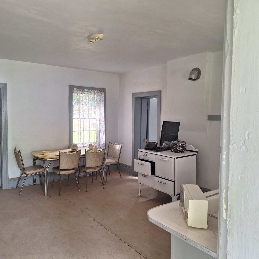
The final stop on the island was Fielding Garr Ranch. This was a working ranch that maintained the living quarters and equipment from the past.
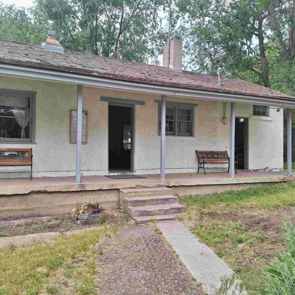
Sunday: Both Vicki and I went to church in Brigham City! This was the first live services for both of us on this adventure, and it was good to be in a live service again. We also picked up a nice pair of binoculars so we can get better views of birds and the night skies.
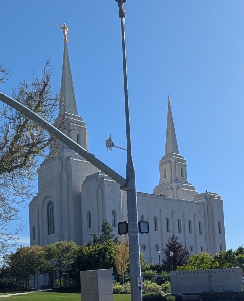
V: We drove past so many LDS churches in Utah and one thing stood out to me, from the great SLC Temple to the smaller neighborhood churches – not one had a cross on the spire (steeple). It was either a golden statue of Joseph Smith or a round globe. Sorry about the pole, only way I got the whole church.
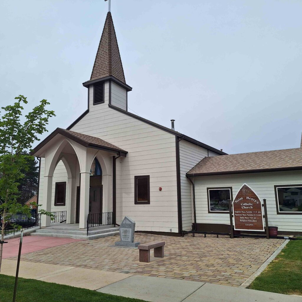
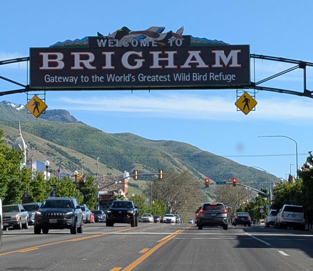
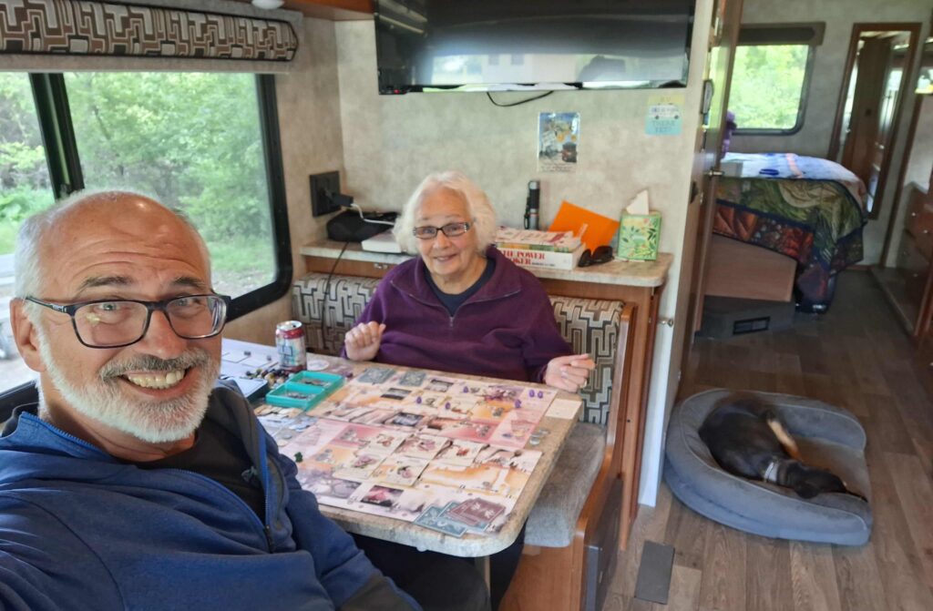
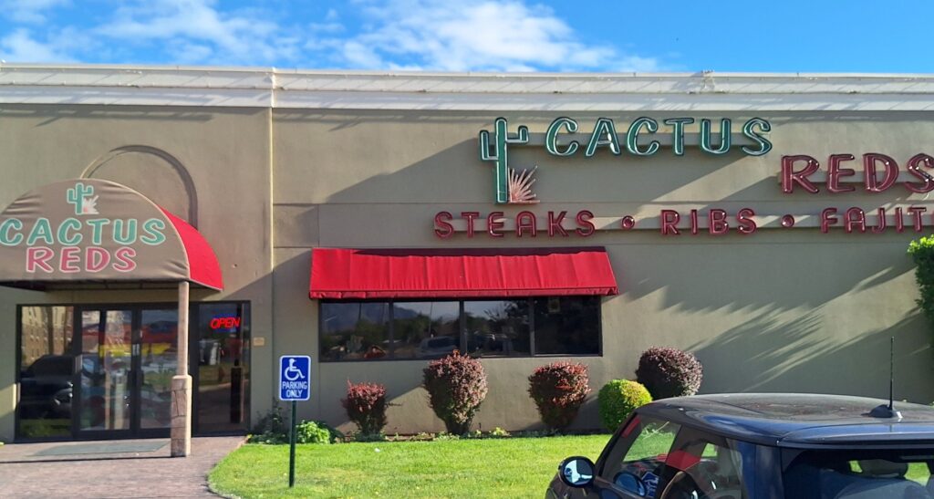
Monday: The weather was cooler and slightly overcast. We played Wyrmspan and then went out for dinner at Cactus Reds. Most local restaurants (that served steak) were closed on Monday, but Cactus Reds was associated with a hotel. Vicki enjoyed her prime rib, but I found my steak fajitas dry. We are excited about leaving for northern Wyoming tomorrow! The weather looks promising.
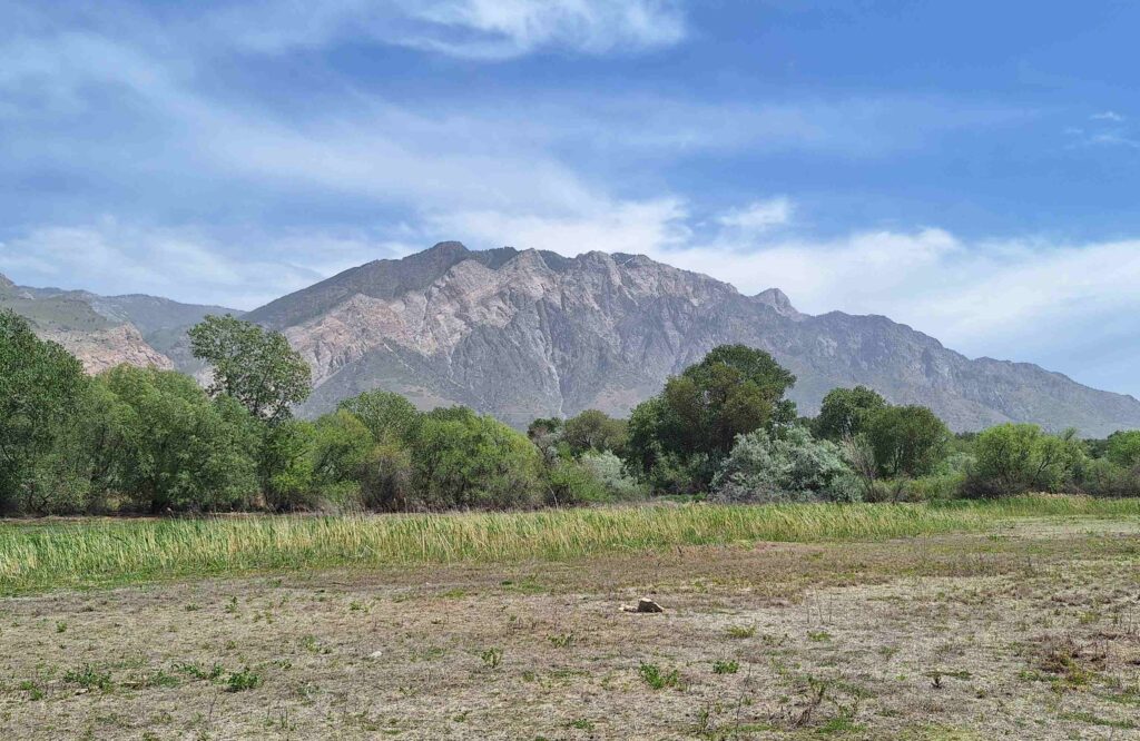
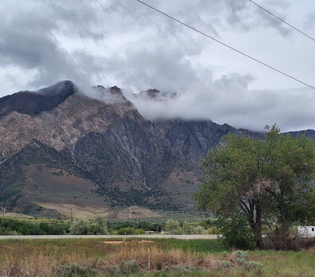
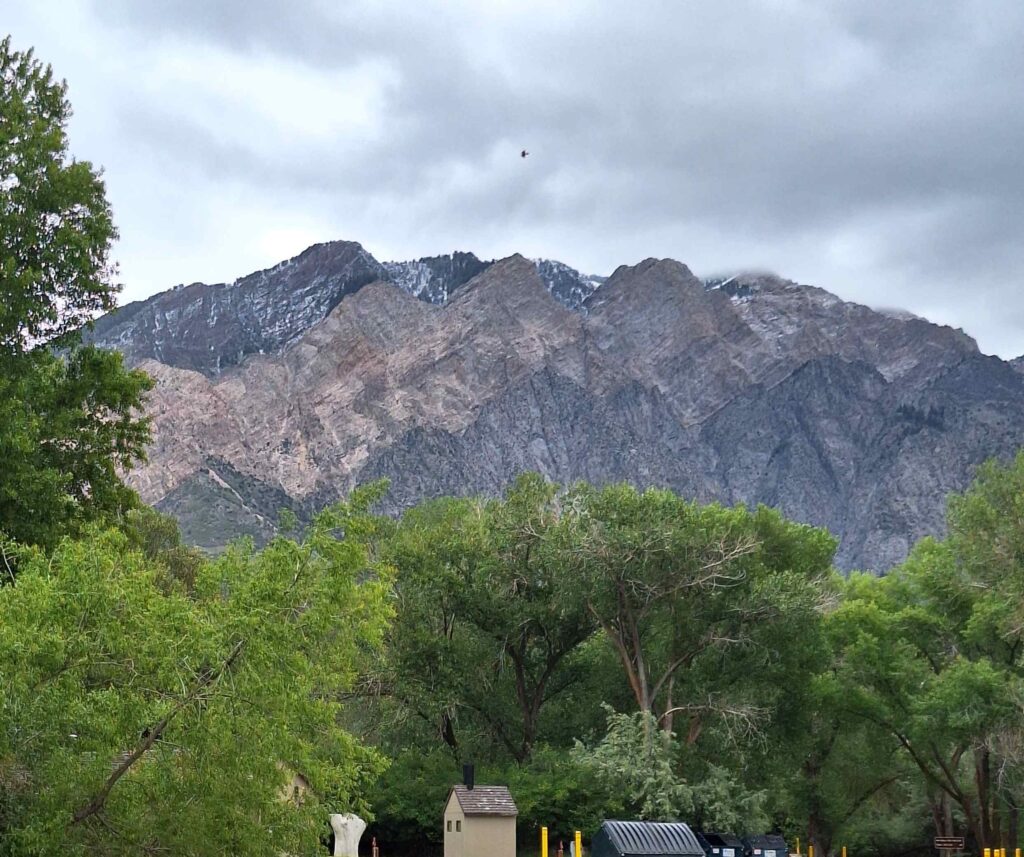
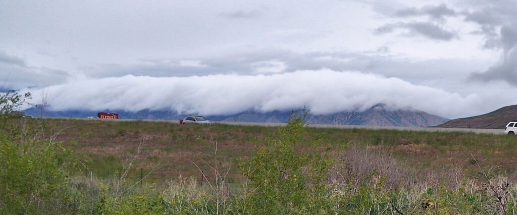
There was snow and clouds on our eastern mountain friend, Willard Mountain. Willard Mountain presented many interesting views while we were there.
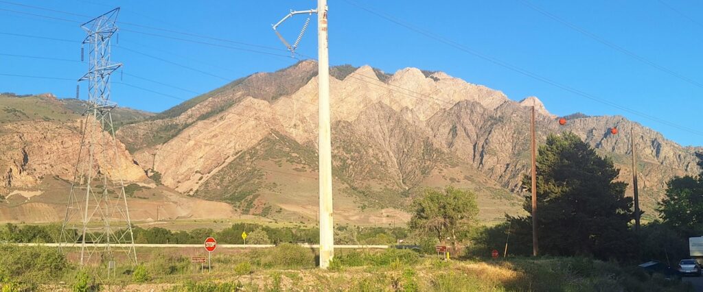
Tuesday morning, before leaving, we emptied the waste water tanks. The dump station was underneath the high power lines, and included grounding straps to attach to the chassis of the RV. And there was a large spark generated between the grounding strap and the RV’s chassis!