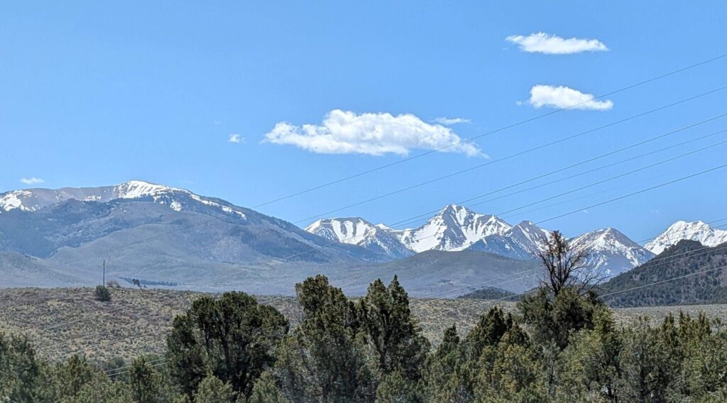
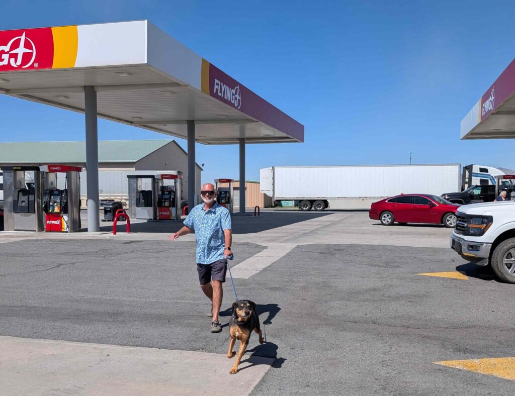
The trip to Moab is around 320 miles, making it one of our longest trips in terms of miles. But most of the trip is on US highways, which have a speed limit of 80mph in Utah. But Steve is a (retired) slowpoke, only increasing his speed to almost 70mph. There were still snow-capped mountain ranges to cross with slower ascents and descents.
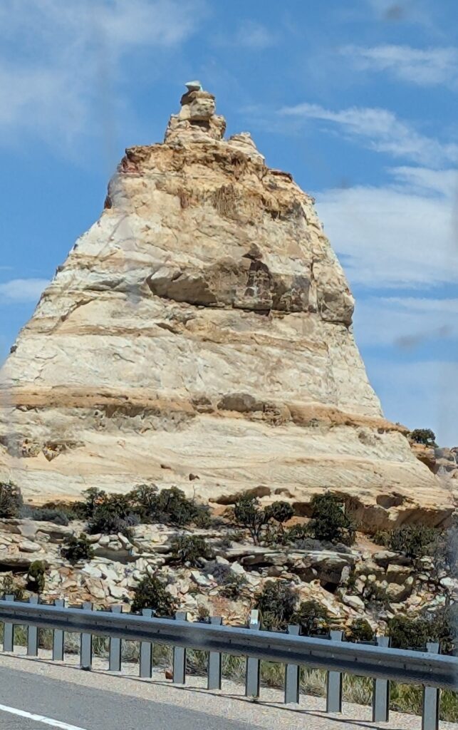
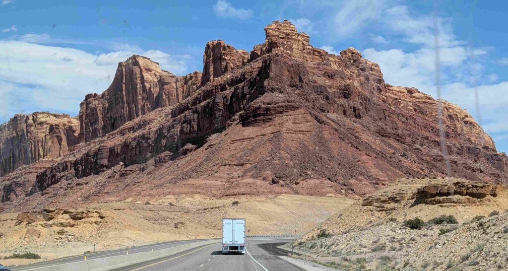
And suddenly we find ourselves in red sandstone canyon country!
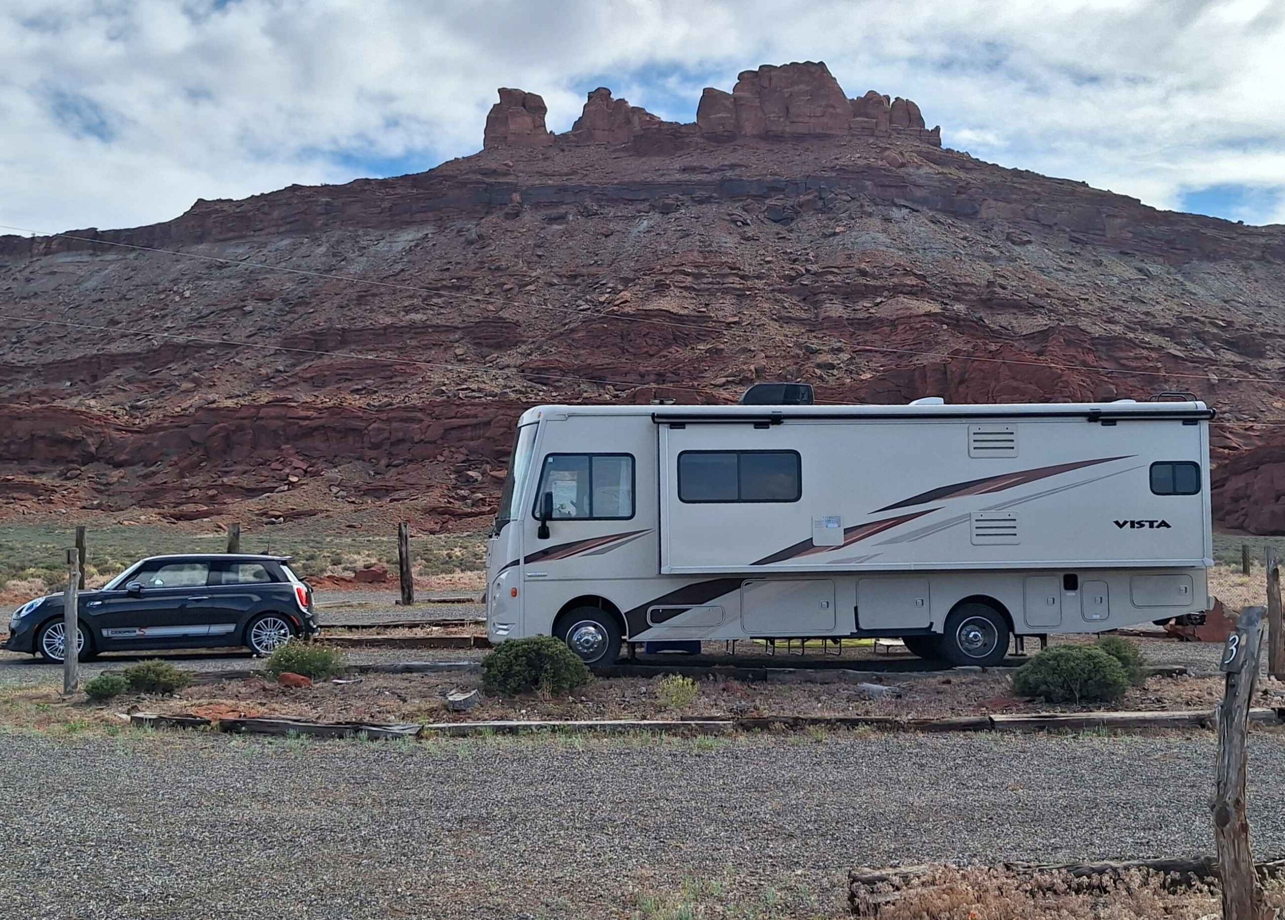
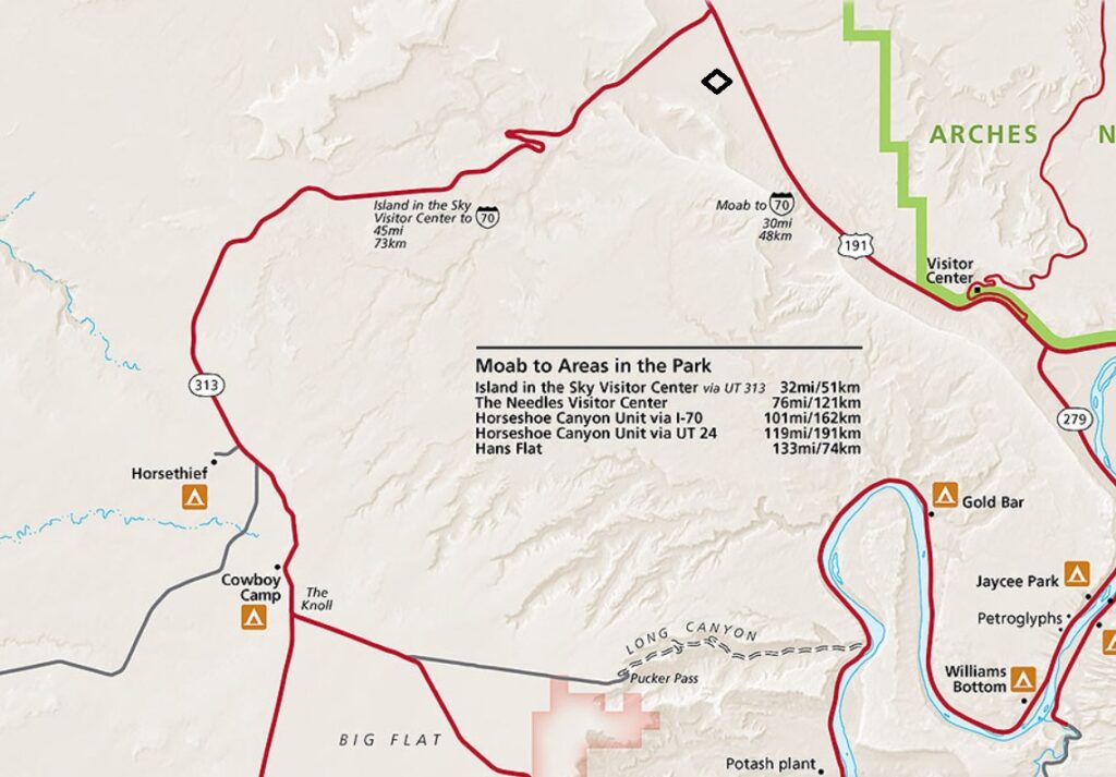
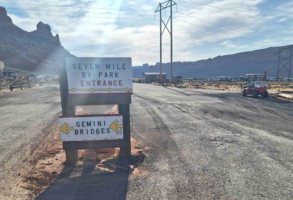
Our campsite, Seven Mile RV Park, is about 10 miles north of Moab but very close to the Canyonlands and Arches National Parks.
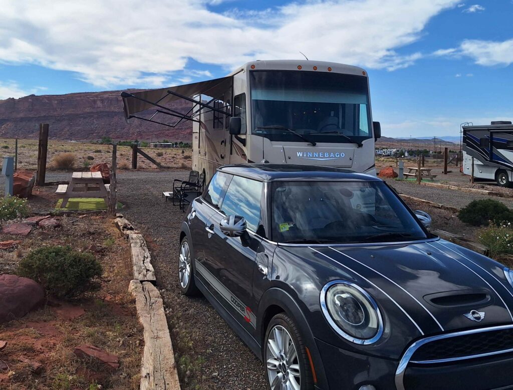
We are in a campsite with only on-site electricity. The campgrounds did have potable water that we filled up with before setting up camp. And a dump station we used before exiting.
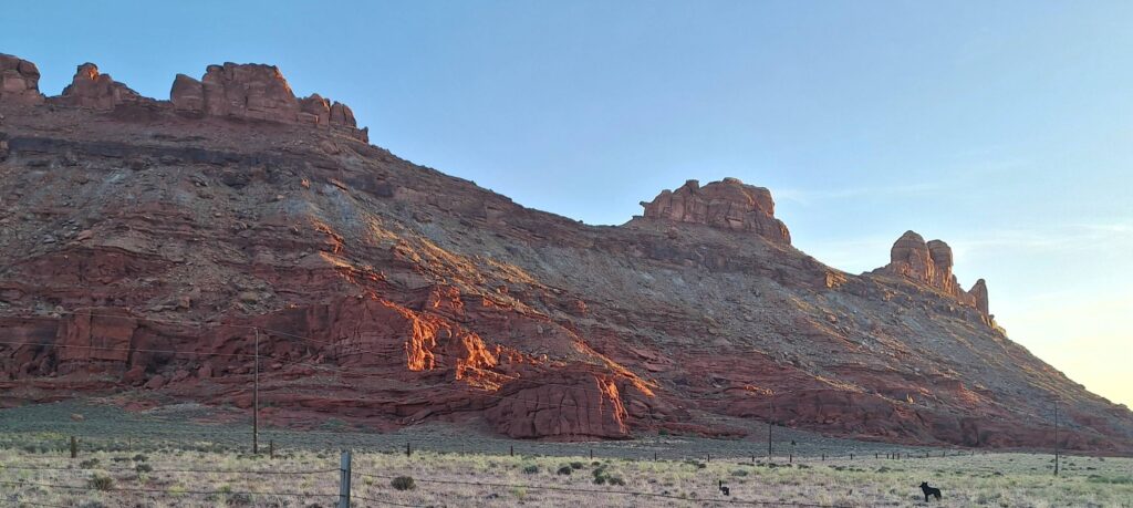
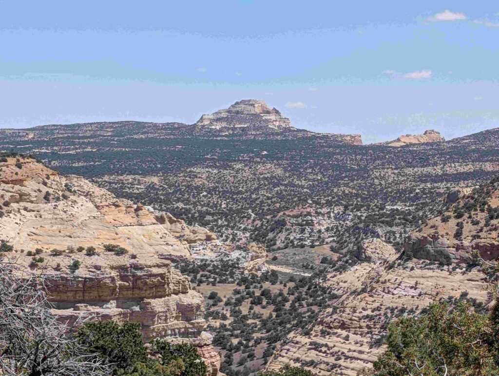
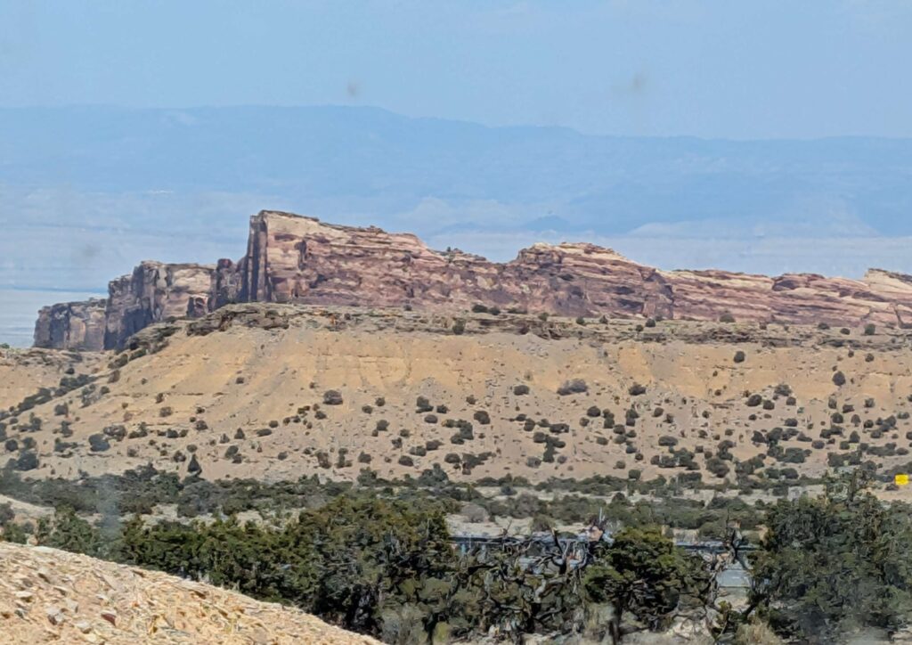
The campground is set between mesas on the west. The picture on the left shows a mesa at sunset.
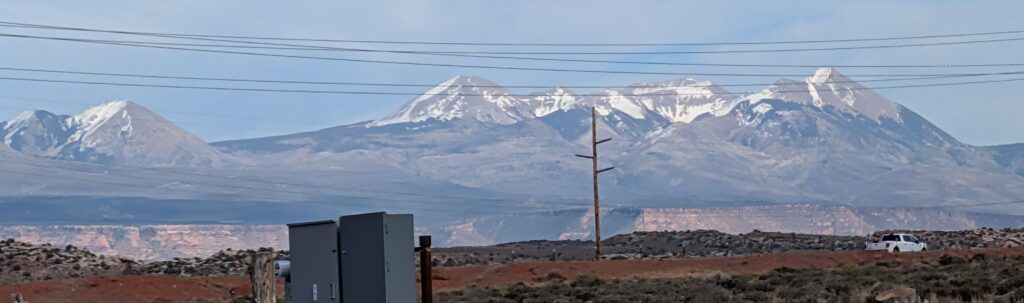
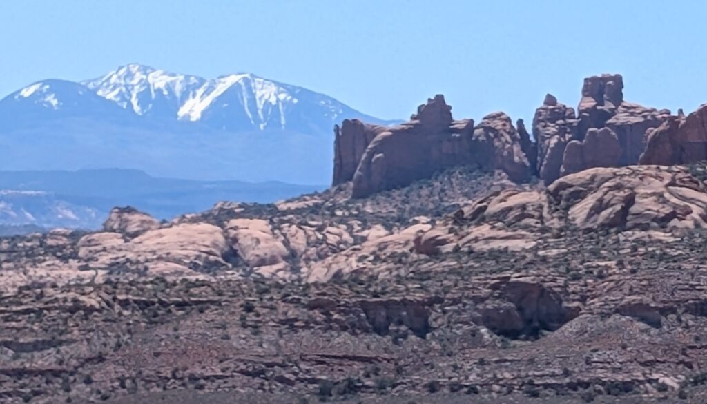
The La Sal mountains to our campsite’s east.
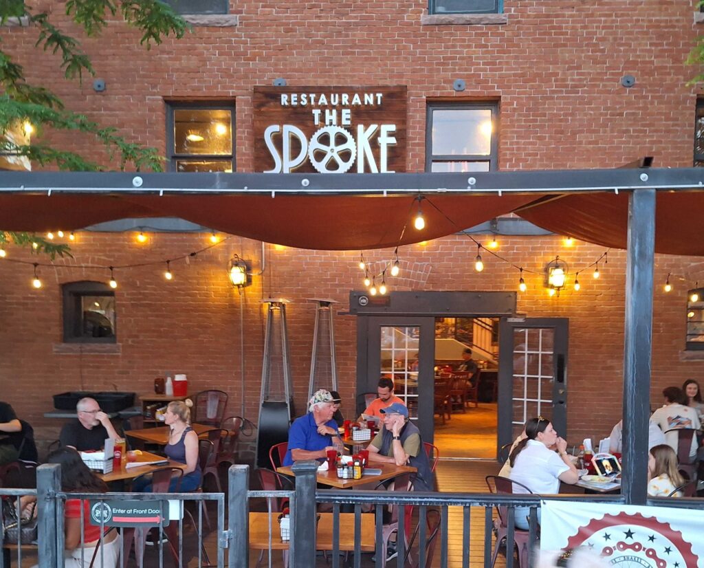
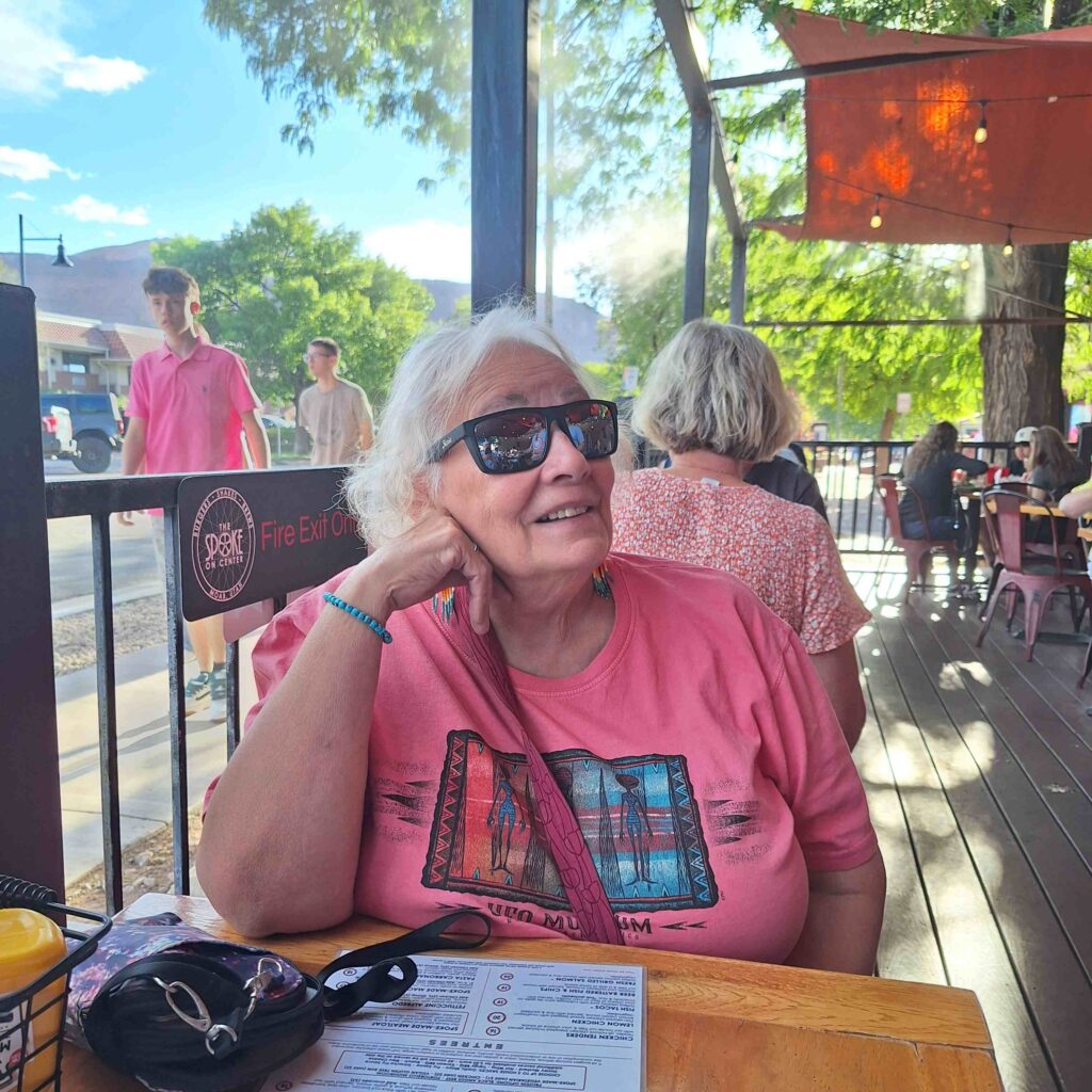
We went into Moab Friday night to observe the town, and we had a nice meal at ‘The Spoke’. Vicki had salmon on rice and Steve had a burger with gouda cheese, mushrooms, and Korean bbq sauce. Both meals were delicious.
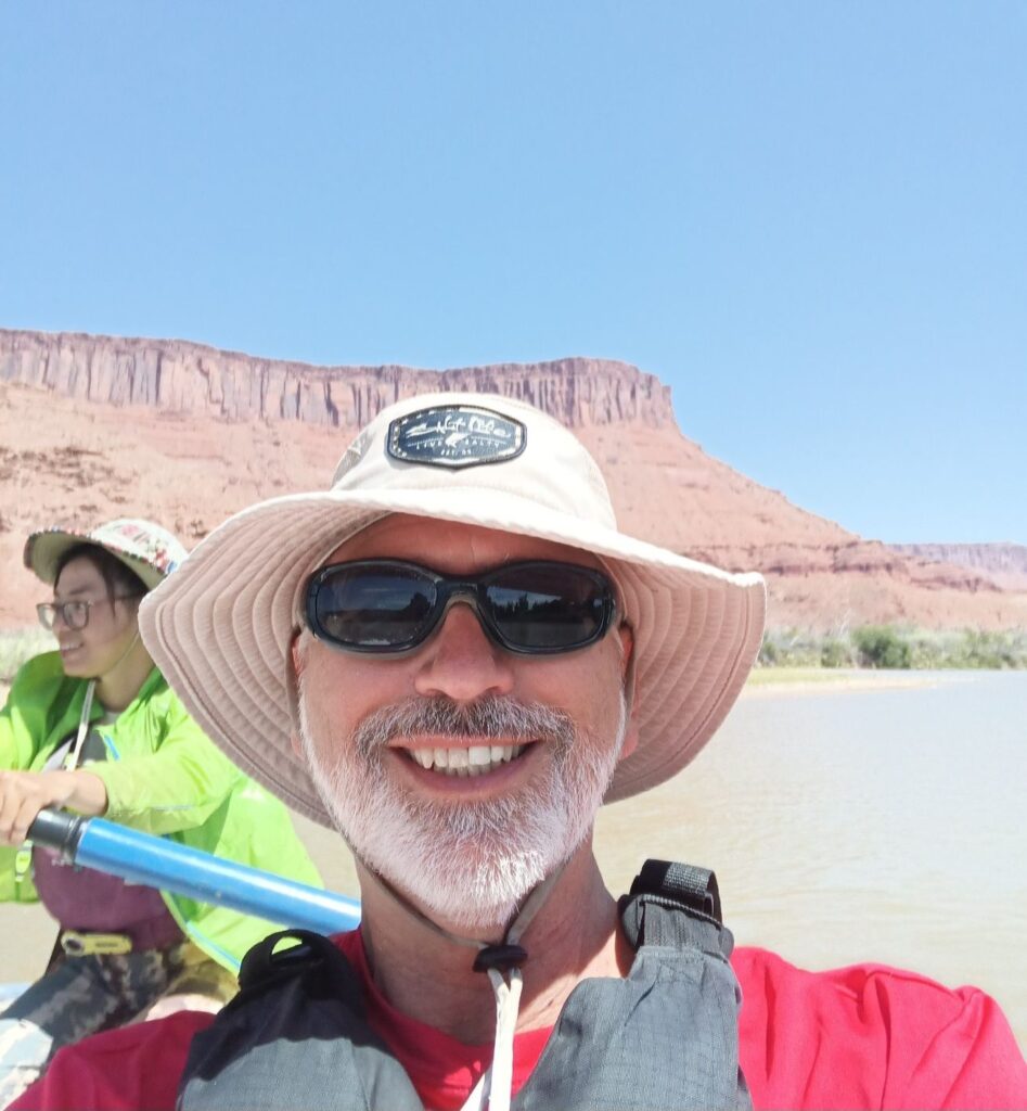
We got up early Saturday for our Colorado river raft ride. We dropped Lexie off at a Rover.com site, and then we went to the raft ride meetup place, the Moab office of Mild-to-Wild Rafting. The river drop-off point (Little Onion Creek) was 45 minutes away and along Potash road (regarded as one of the most picturesque roads in the US.) Regretfully we didn’t bring phones with us, so we don’t have any pictures of the canyon walls and stone features we saw along the Potash road.
We started the raft ride with two other passengers (Courtney and Krista) along with our guide. Our raft was lightly loaded, it could hold eight passengers. Our group consisted of another raft of seven people, and four kayakers. Nina, our guide, easily got us through the class 1 and class 2 rapids. The water levels are low (still experiencing a drought here in Utah) and the water was not moving very fast.
We didn’t see a lot of wildlife. We saw a couple of herons and what the guide claimed to be beaver dams along the side of the river. But the dams were dry. Besides not seeing beavers, we also didn’t see any otters.
After a couple of hours and a few small rapids the first part of our journey was done.
We had lunch with Nina while the other members of our rafting group returned to the main office. Vicki and I were the only people that had signed up for a full day of river! We didn’t think anything of that until we got past the next set of rapids and entered a very slow, wide part of the river that had a very substantial headwind. There was enough wind to create waves going upstream. The waves were only six inches high, but I’m sure they will get taller as time goes on. The next mile took us over an hour to travel as we slowly but constantly paddled our very wide craft. In my mind, I always imagined the Colorado River as something that moved quickly, so the wide slow areas were a surprise. There was an early take-out point that we went to rather than spend another several hours slowly paddling into the wind.
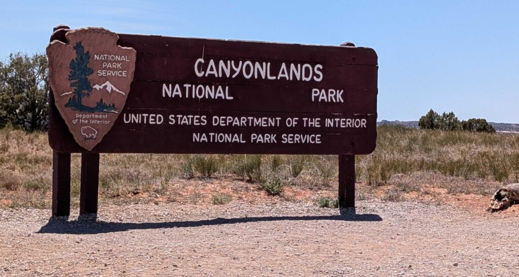
V: My Mother’s Day treat was to sleep in on Sunday and have a relaxing morning. Happily, I got very sweet calls from all our kids. Thank you. I love you! We didn’t start our visit to Canyonlands National Park until 12:30pm.
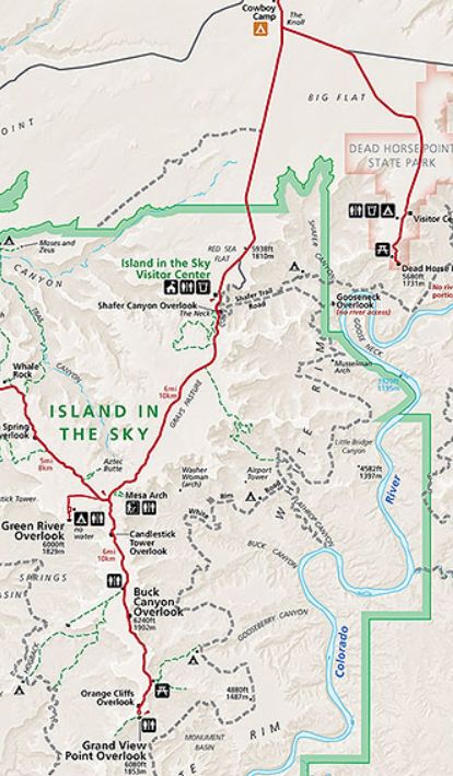
The road to Canyonlands was about a mile north of our campground.
And the road was upwards through cliffsides.
We arrived at Canyonlands Island in the Sky visitor center. Vicki went inside to view the movie and to get the cancellation. Steve stayed outside with Lexie, taking a short walk with Lexie to the start of the Schafer trail that was across from the visitor center.

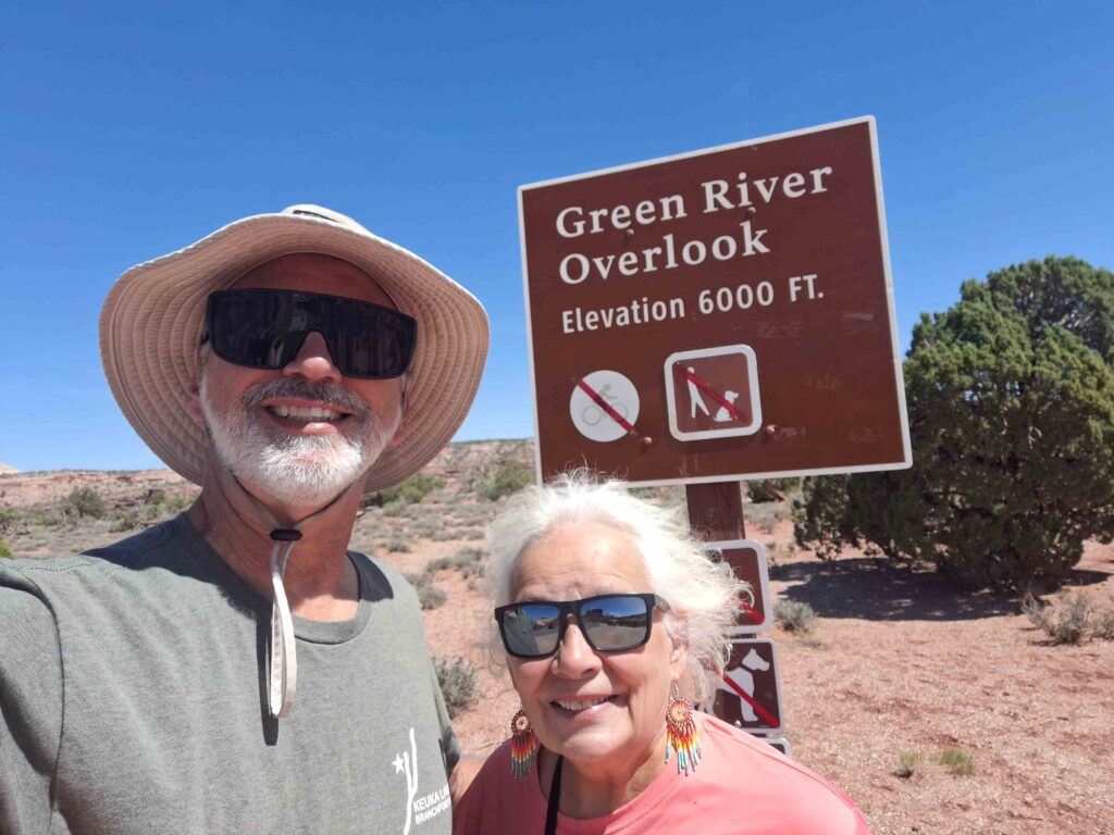
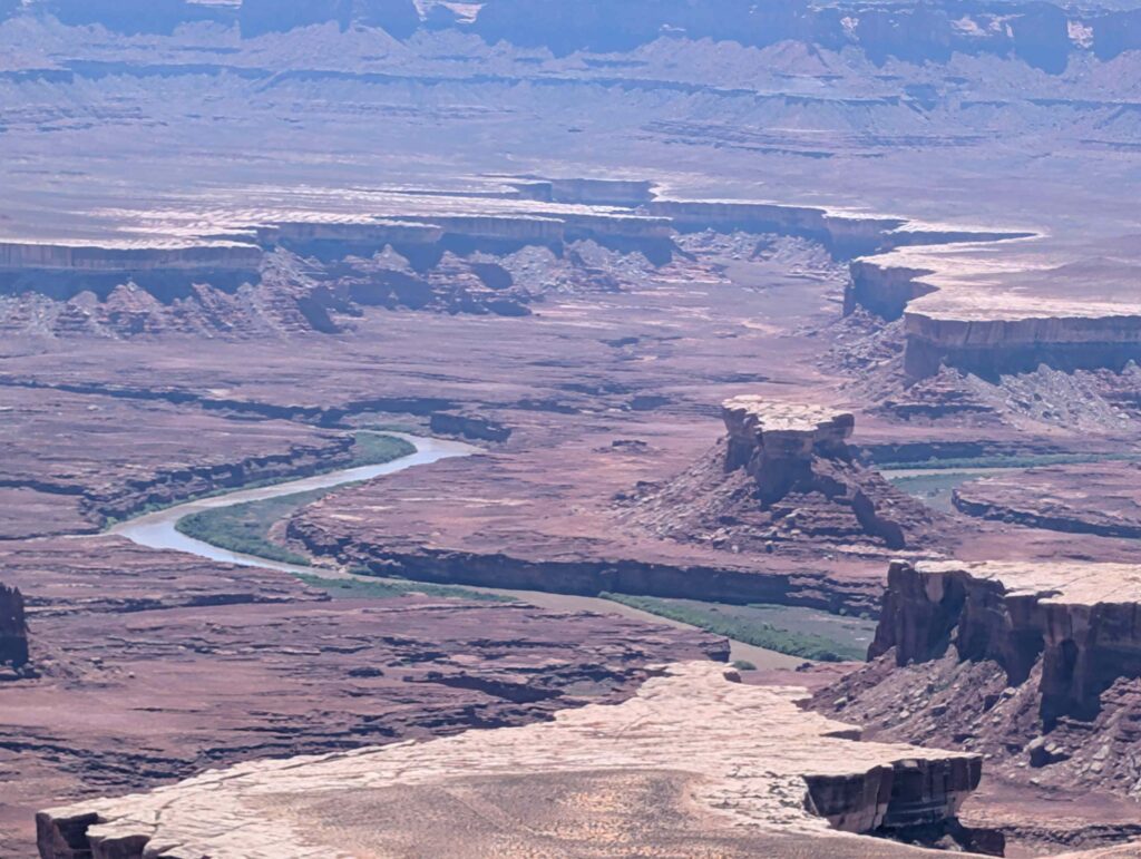
We next drove through the park to the Green River Overlook. The Green River joins the Colorado River in the southern part of the park. We stepped out to the overlook and saw the Green River amidst the brown and red lands.
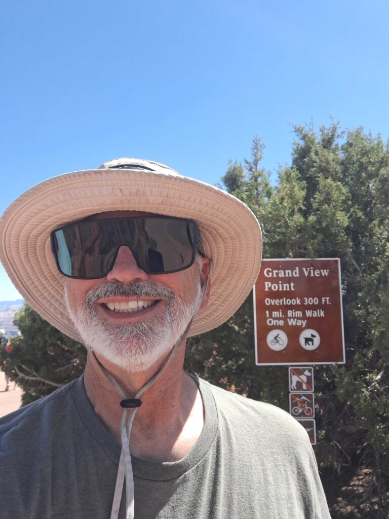
Then we drove to the Grand View Point Overlook.
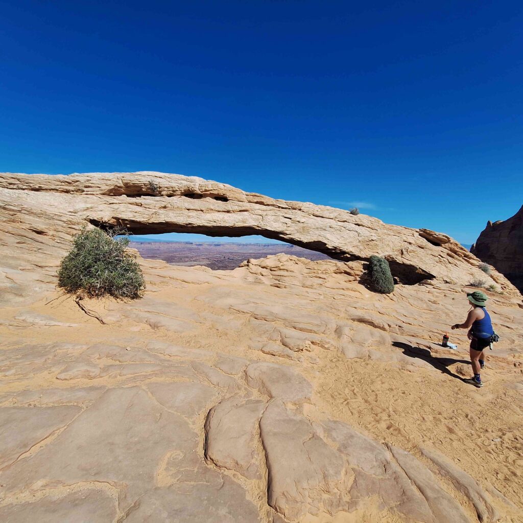
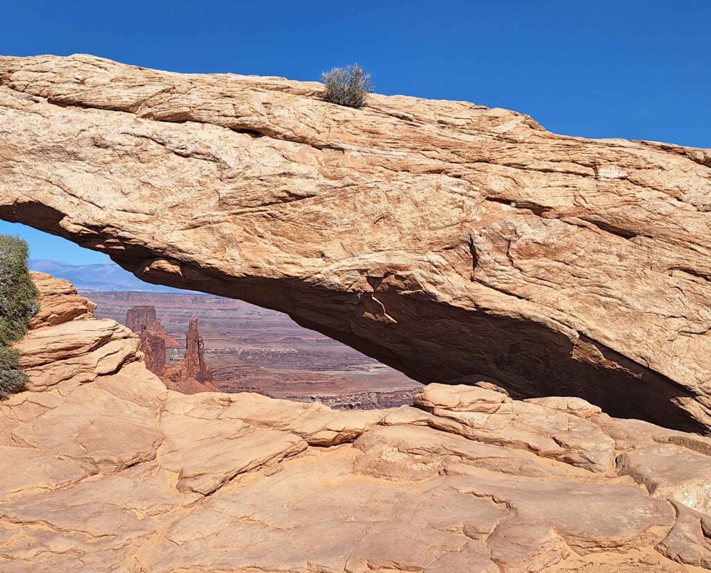
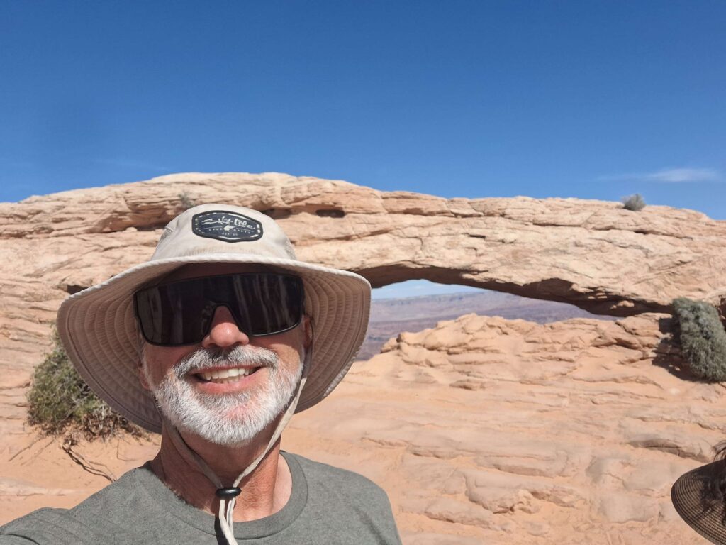
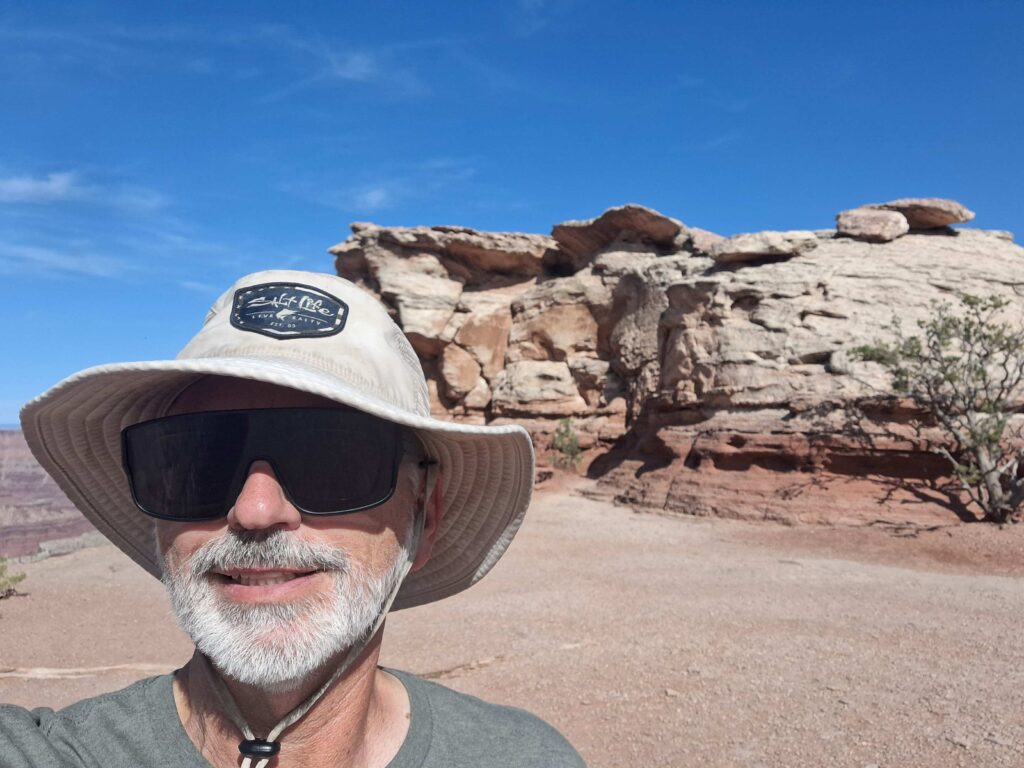
We stopped at the Mesa Arch, which required Steve to hike about a quarter mile to the arch and then wait in line to get pictures that didn’t have other people all around the arch.
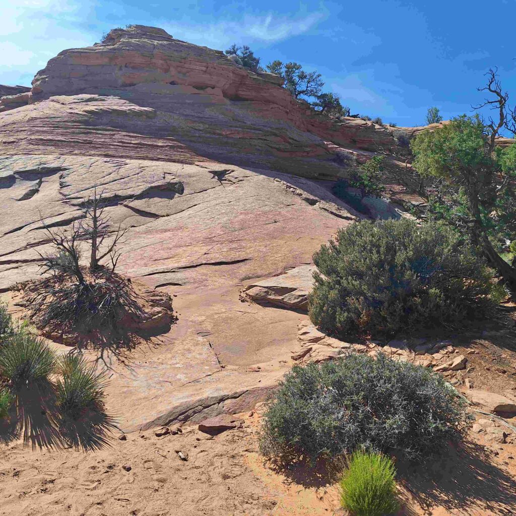
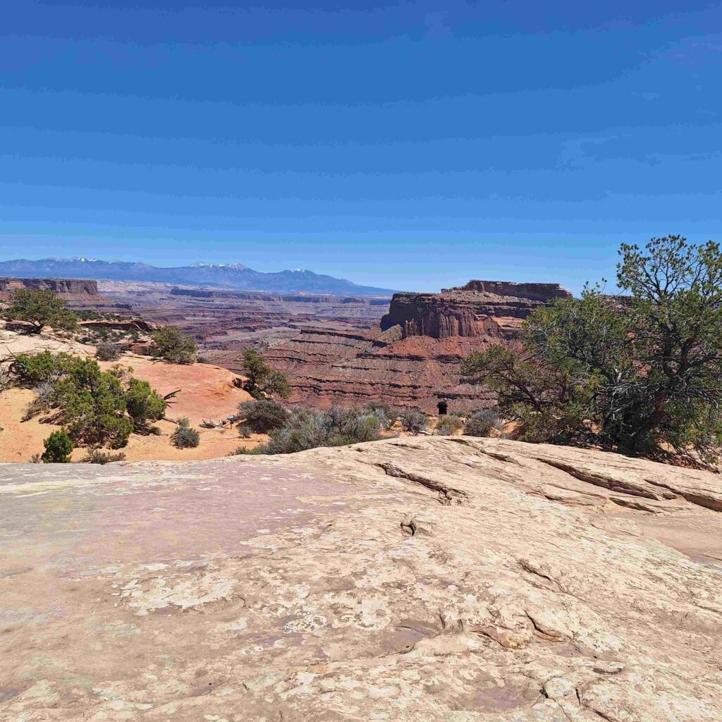
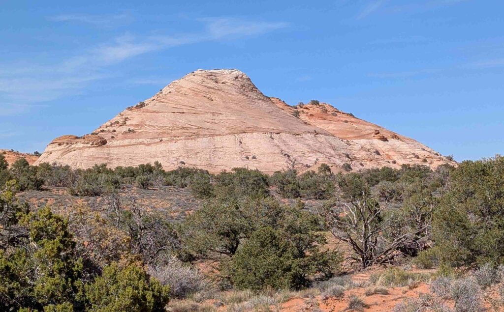
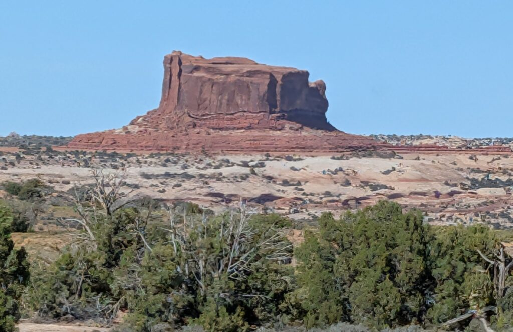
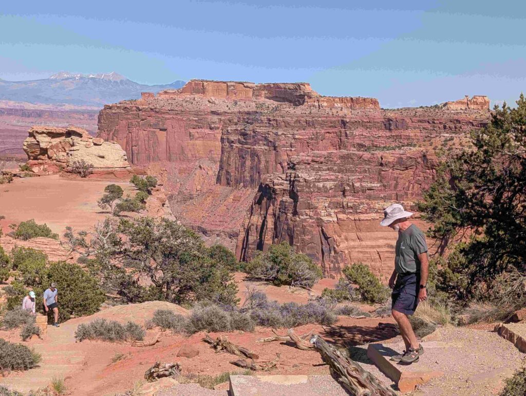
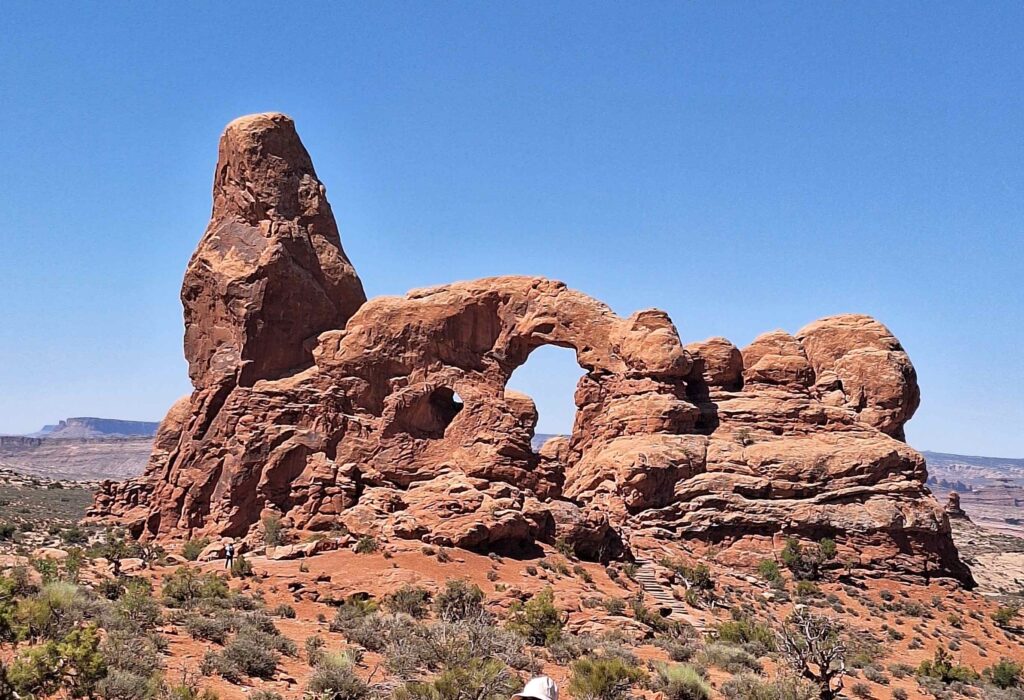
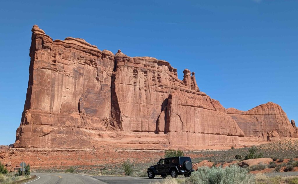
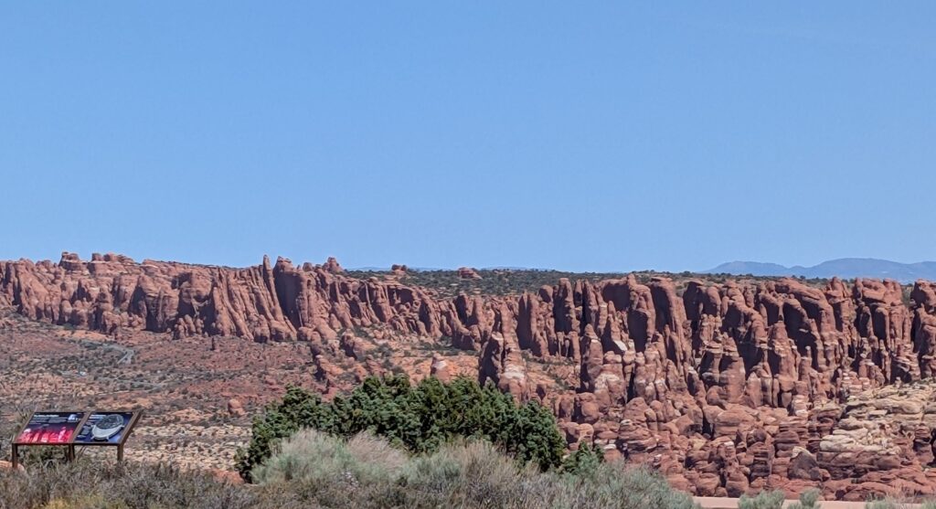
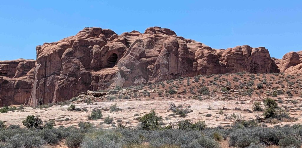
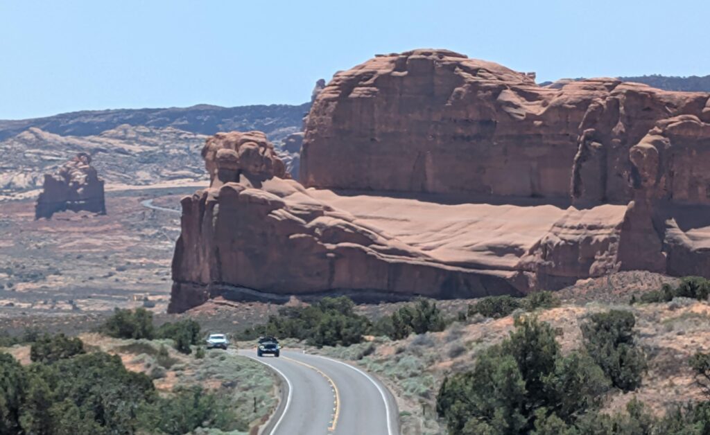
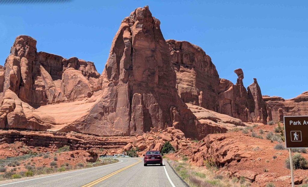
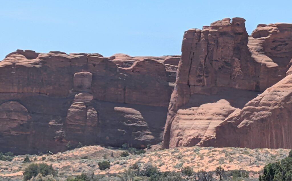
We saw many awesome rock formations from the road.
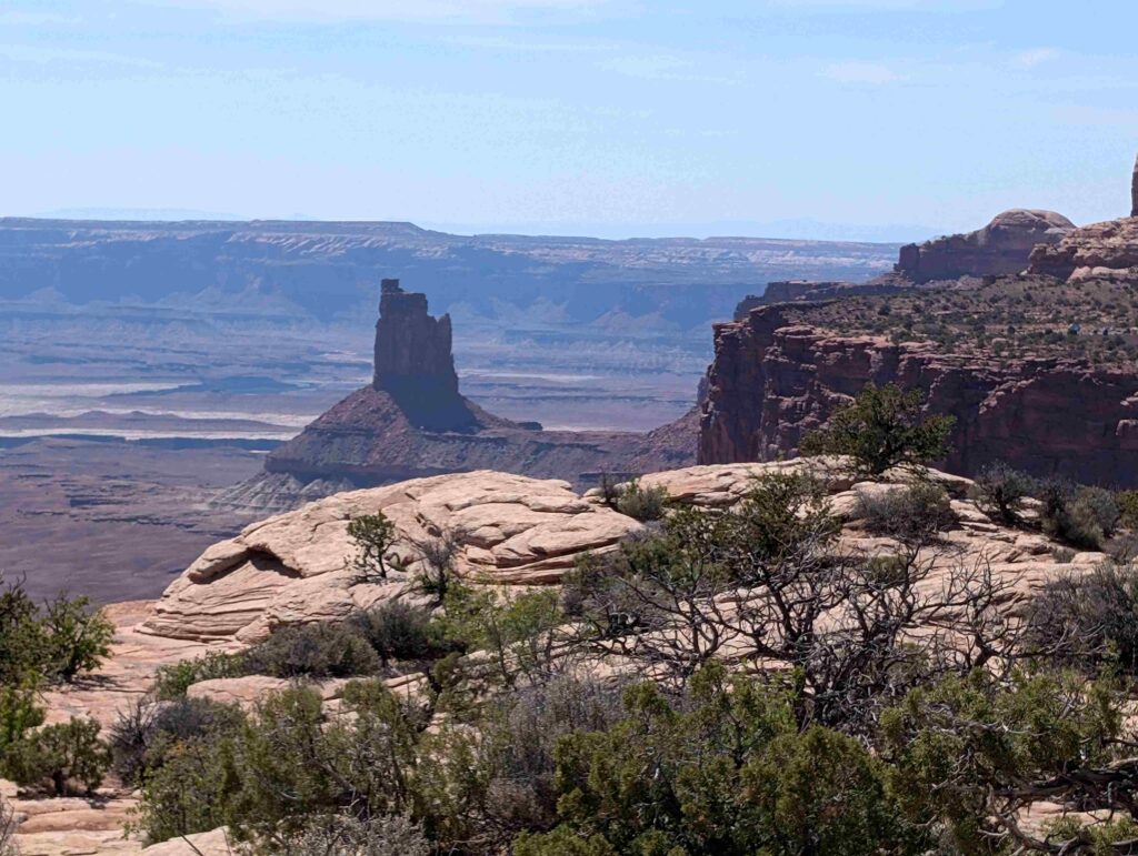
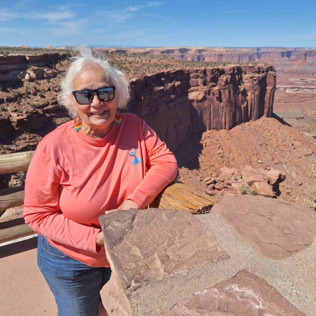
Final stop was the Schafer Canyon overlook, that Steve walked out onto to get a better view. V: this park really surprised me – so beautiful and so unknown to me. The views were so different than other parks we visited.
Monday morning was Arches National Park day! We left Lexie in the RV because dogs aren’t allowed on any trails, and most of the sights involved some hiking. Even though the outside temperature was expected to get into the high 80’s, Lexie had the AC on and our Marcell allowed us to remotely monitor the RV temperature.
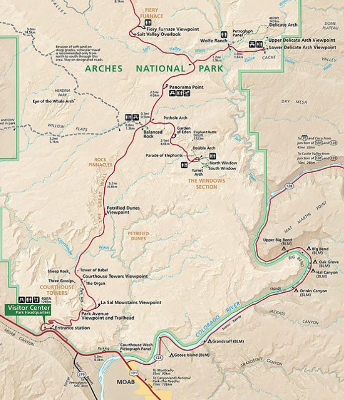
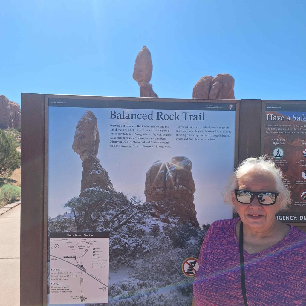
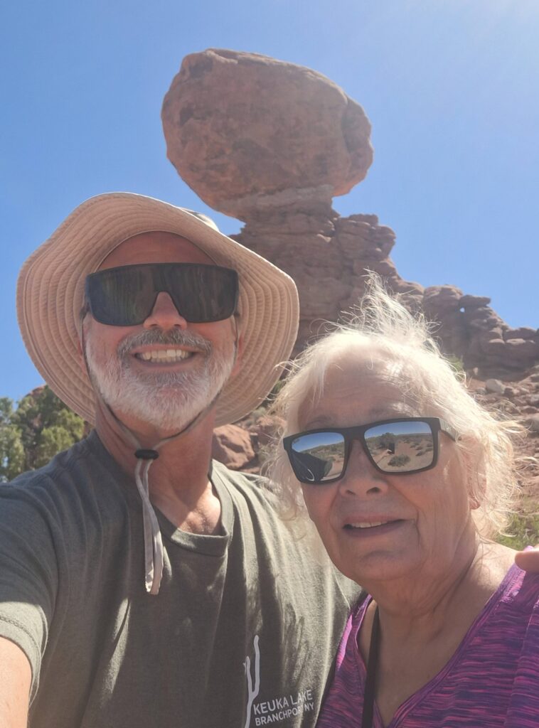
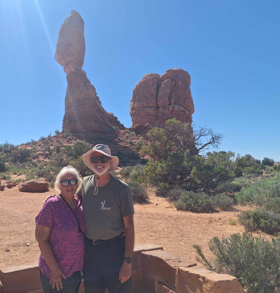
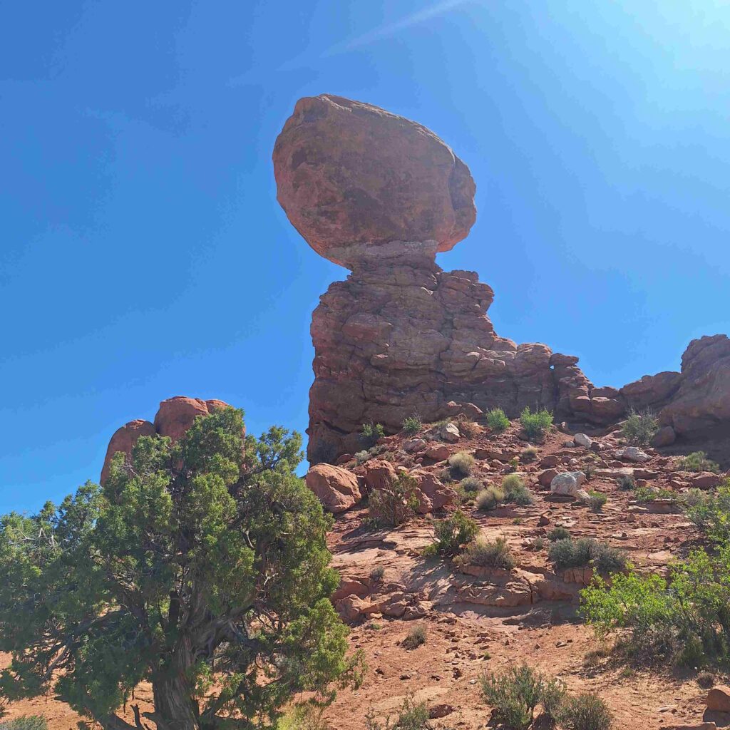
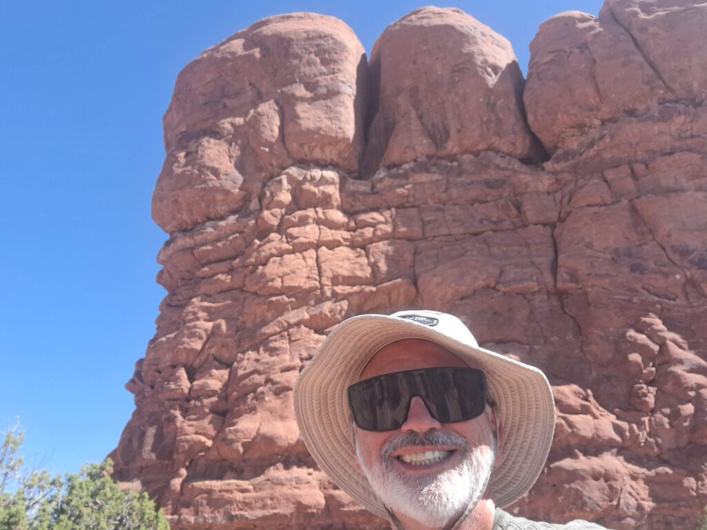
We bypassed the visitor center on the way in, and traveled along some switchbacks to our first stop: Balanced Rock. We walked around the Balanced Rock. We even walked a little more since we missed the trail that only went around Balanced Rock and walked around the neighboring spire as well.
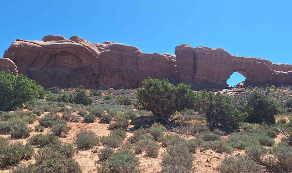
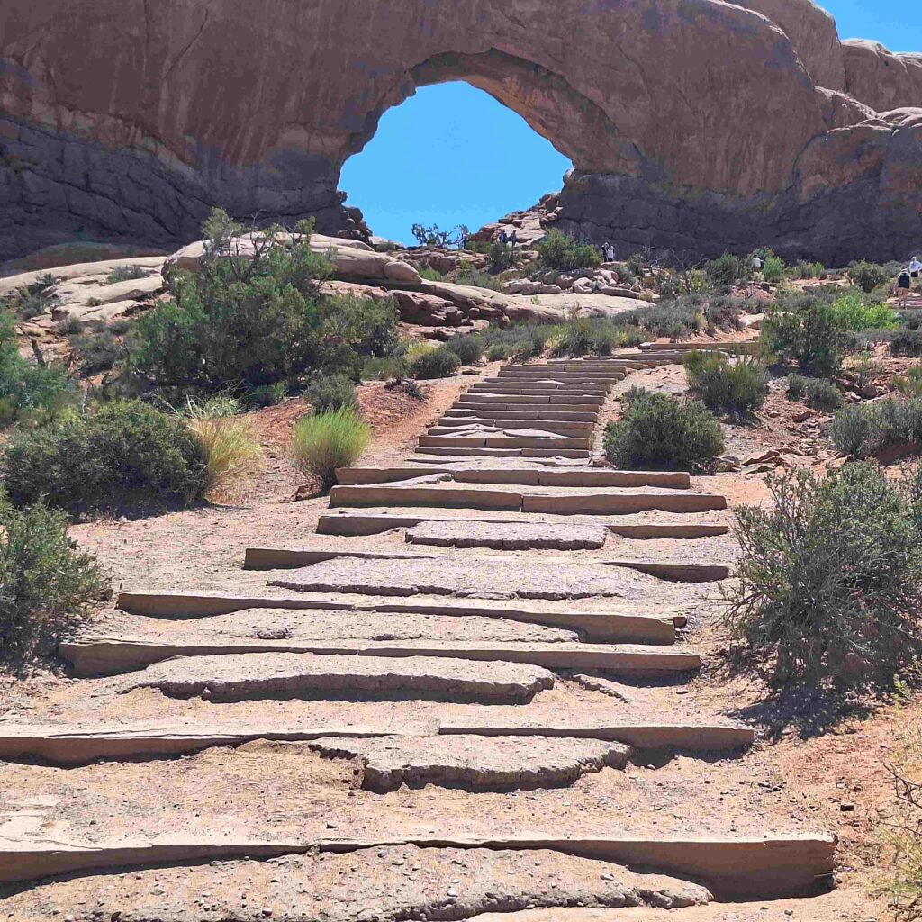
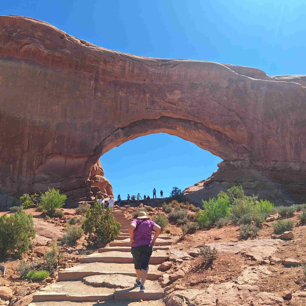
The second stop was to walk up to the North Window arch (and get pictures of the South Window and the Parade of Elephants.)
The third stop was at Panorama Point where we could see the Windows section and then across the Salt Valley to the Fiery Furnace.
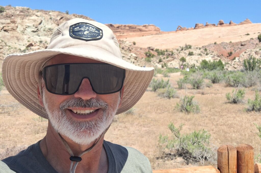
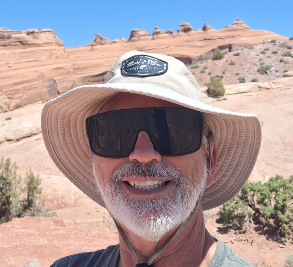
Fourth stop was at the Delicate Arch viewpoints. Hiking to the Delicate Arch would have taken several hours so we settled for looking at the Delicate Arch from a distance. Steve and Vicki both observed the Delicate Arch from the lower viewpoint. Steven then hiked out and up a half mile to the upper viewpoint.
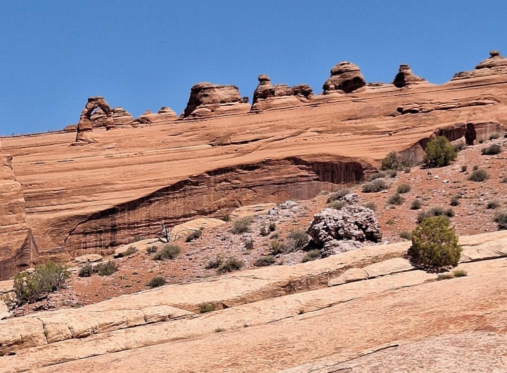
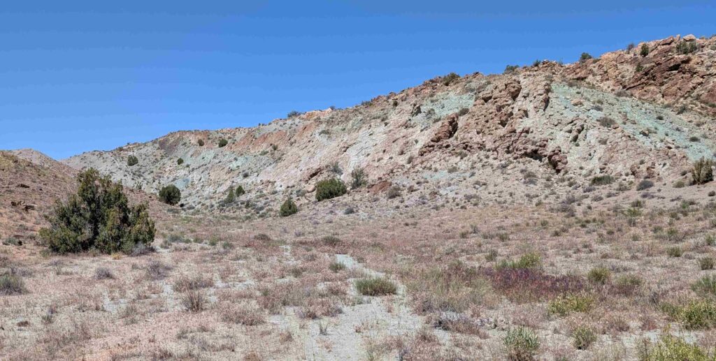
We had noticed that not only were the canyons and features in Moab Valley very red, but there was also a lot of light green. We originally thought that the green was biological, maybe a sun-loving lichen. But a sign along the trail to the Upper Viewpoint of the Delicate Arch explained that the green-colored rock was caused by a variation of iron oxide.
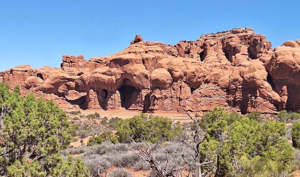
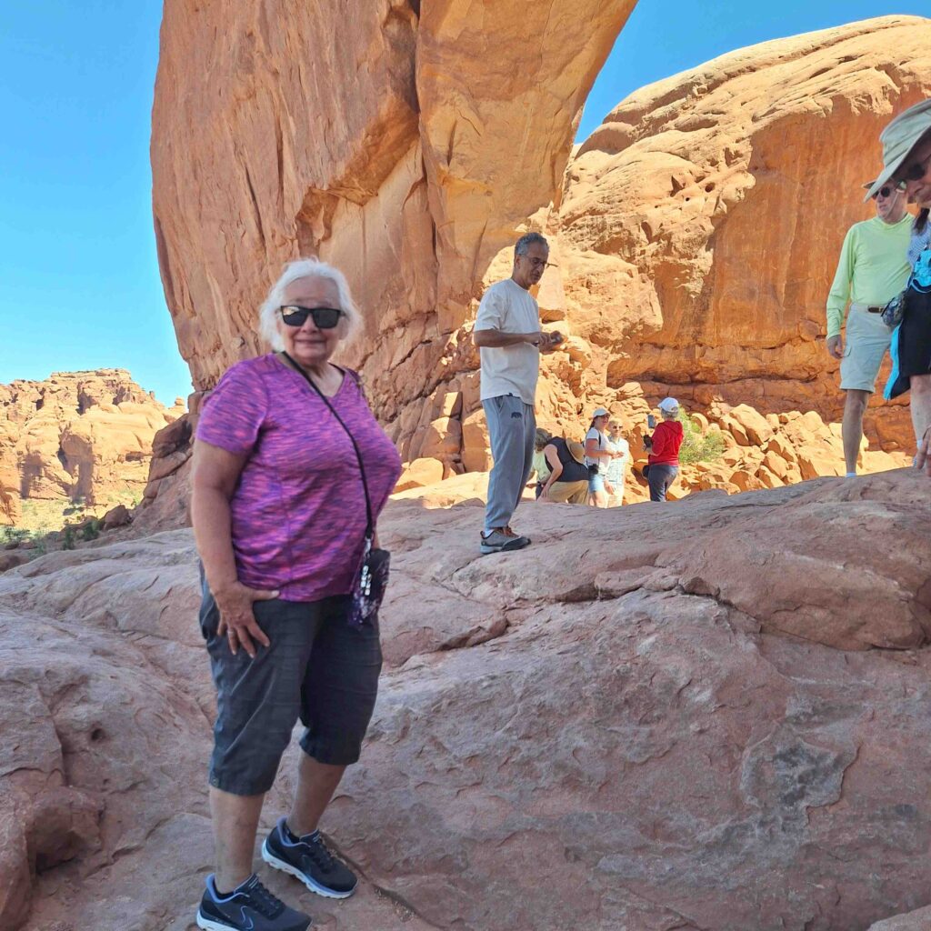
Fifth stop was the Fiery Furnace where we saw many spires/towers crowded together. The scale of these structures is deceiving, they don’t look very tall until you see a person standing next to them.
As we returned to the visitor center we got some great pictures of the Great Wall.
The visitor center had the orientation film and other information about the park. Of course, Vicki and Steve both got Arches t-shirts. We also got a stamp for the Old Spanish Historical Trail, a route used by the Spanish to transport goods by mule from Sante Fe to Los Angeles. Moab is on the Old Spanish Trail because this is one place where the Colorado River could be crossed.
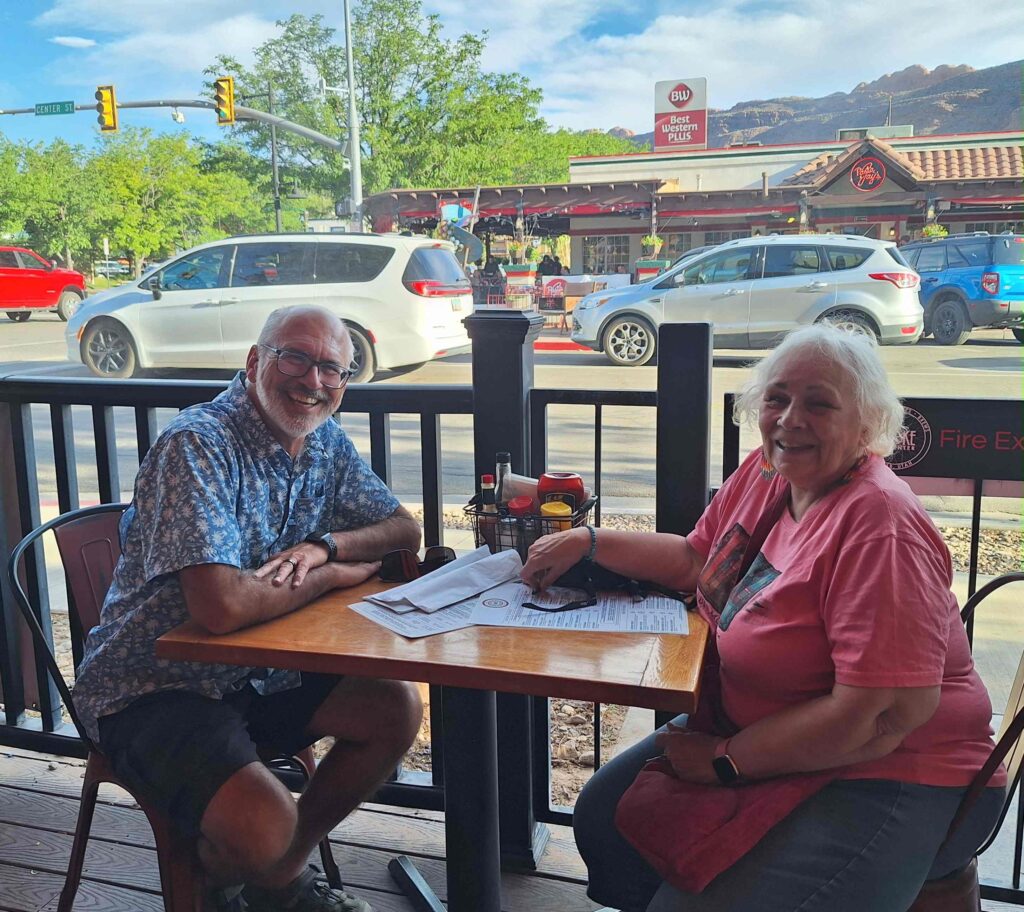
Dinner on Monday night was at Sultan Mediterranean. We shared a plate of hummus topped with gyro beef slices, and a chicken havarti kebob. And there were plenty of leftovers to bring home.
Back at the campsite, Vicki pointed out that the land due east of the campground was part of the Arches National Park. And looking east, we saw an arch in the distance. It was a very tiny hole in the canyon wall, but we could see blue sky on its other side.
The skies were very dark at the campground, our RV was one of the bigger contributors of background light. We could see the glow of Moab in the south, about twelve miles away. The stars in the sky were bright and plentiful, and we could see parts of the Milky Way galaxy.
V: as you can guess, I was taking all the pictures on the road as Steven was driving. It’s a challenge in a moving vehicle but I’m happy with the way most of them turned out. Moab, Canyonlands and Arches are definitely must-see stops if you’re considering touring these southwestern National Parks.
So many gorgeous pictures and these are just a very few.
And yes, viewing the starry skies and Milky Way galaxy were sacred moments, thinking of the majesty of creation and the loving Creator who gave us all this beauty on our planet, in our galaxy and the vast universe!