Thursday saw another early morning (7am) start so that we could avoid the high winds that run across the plains in the afternoon.
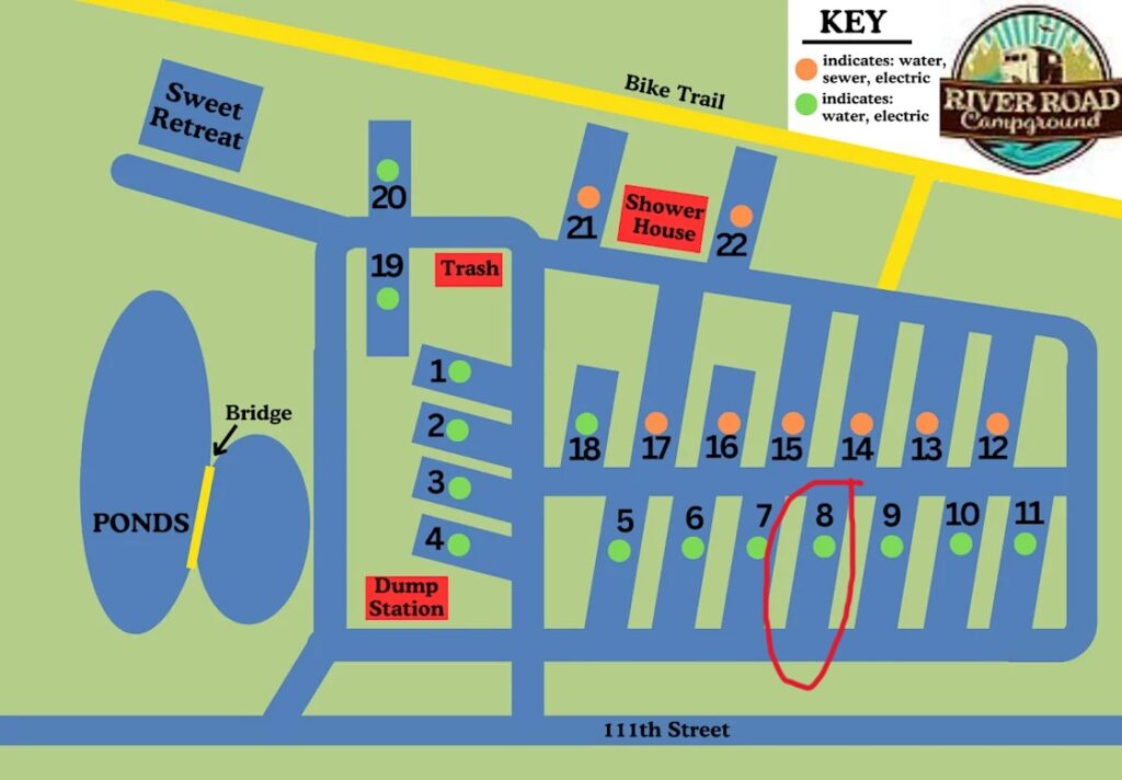
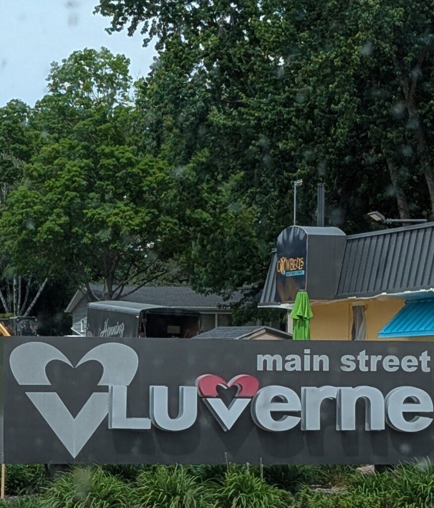
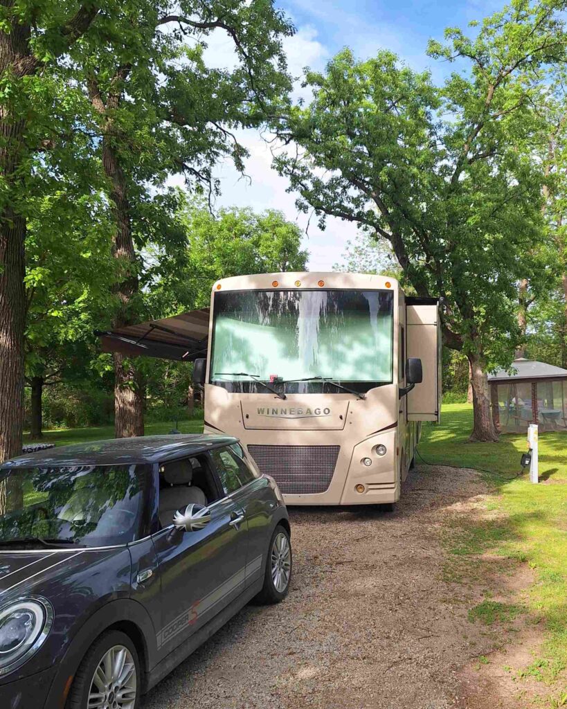
And we successfully avoided those winds, getting into our campsite at River Road Campground in Luverne, MN around 2pm. We stayed in site 8 (circled in red)
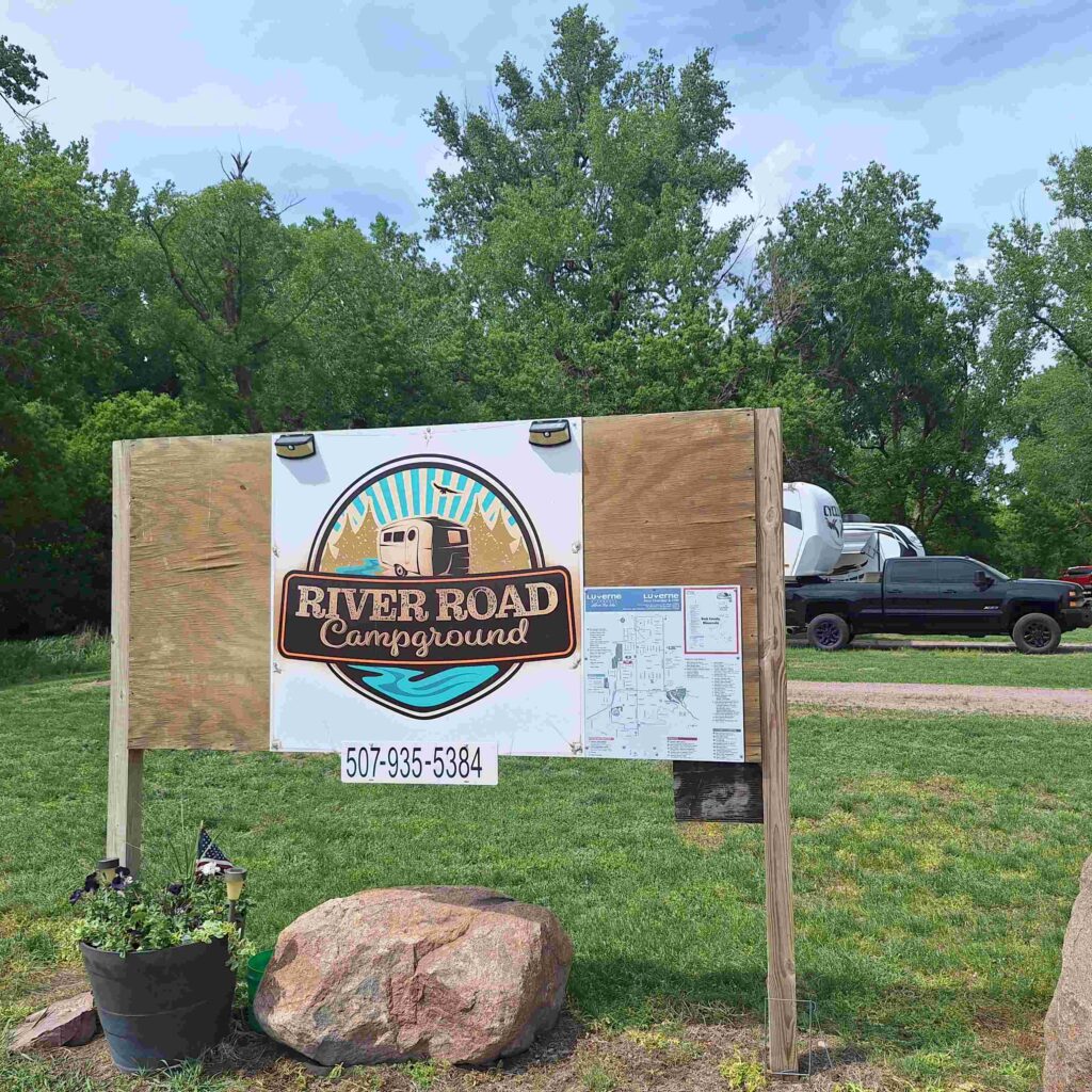
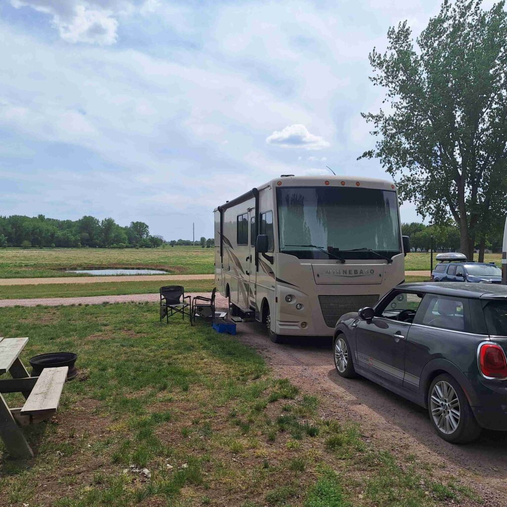
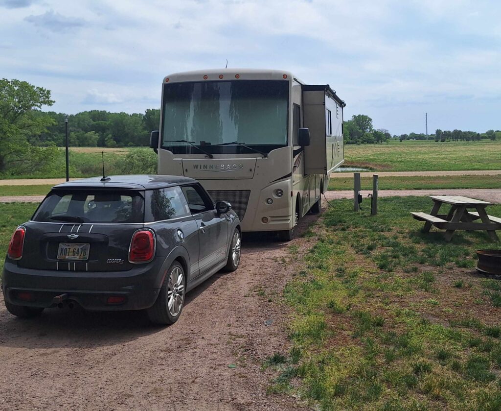
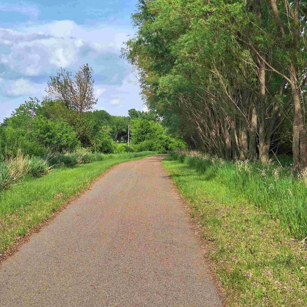
River Road Campground is located near I-90 and Luverne, but it was a peaceful spot with an open field with a pond across the road and trees around the campsite. And a large multi-purpose trail connected it to Luverne City Park on Rock River and then eastward.
Our big trip that afternoon was to go the the Tasty Drive-in for ice cream, including a pup cup for Lexie.
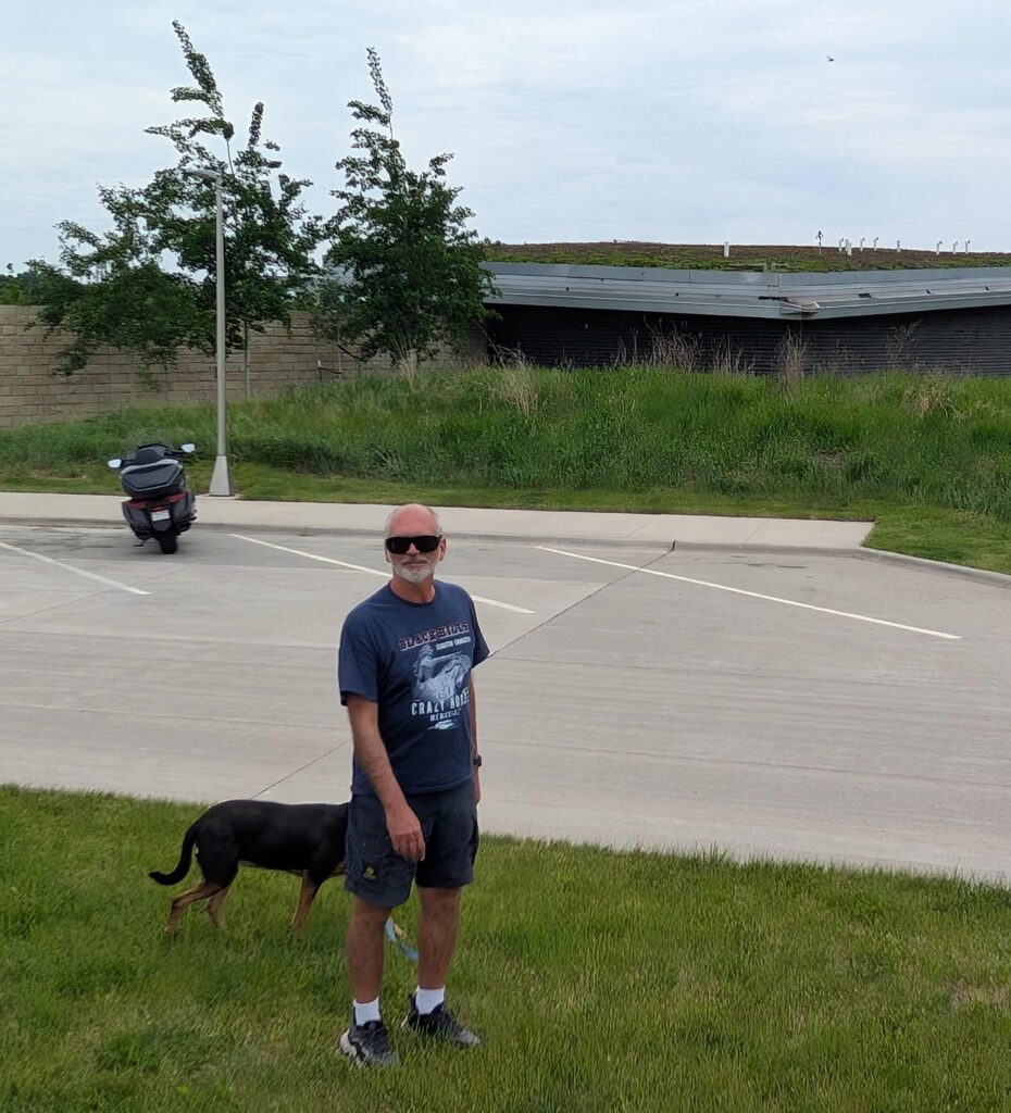
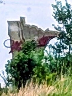
Friday was a leisurely start, leaving River Road Campground just after 11. The picture on the left shows Steve and Lexie at a Minnesota rest area. V: rest area was like a sod house, partially built into the ground and soil and plants on the roof. Making good use of the land and natural cooling and protection from the elements.
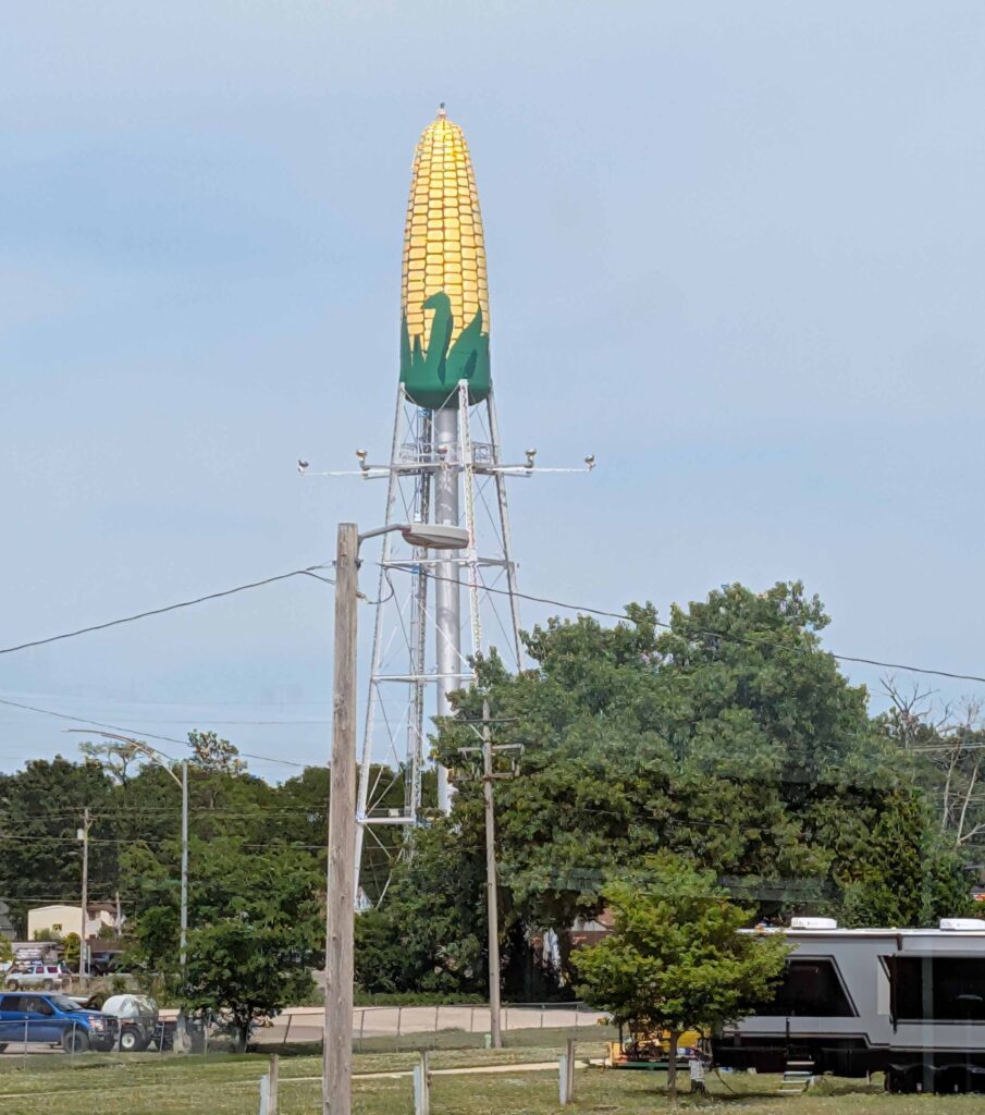
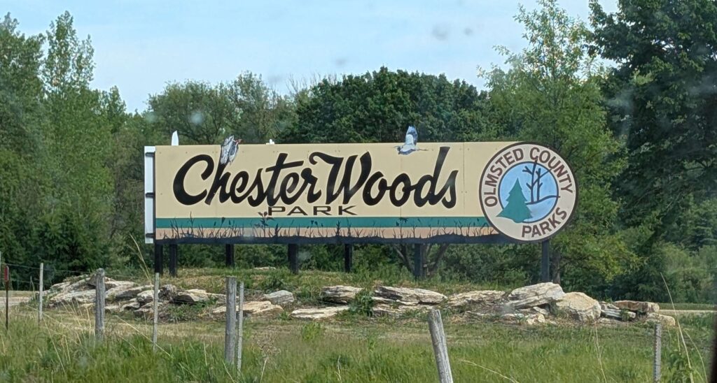
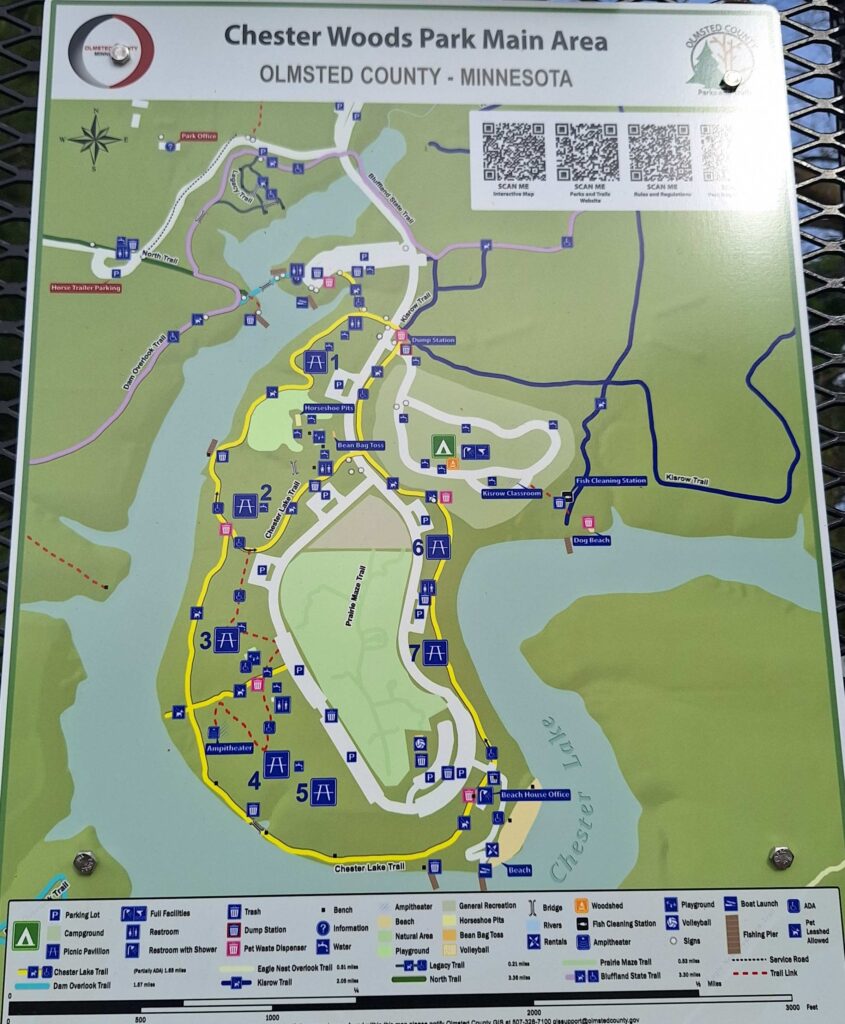
We arrived at Chester Woods Campground around 4 after stocking up on cook-out food at the Rochester, MN Walmart. And looking at the sky-high corn cob just outside Rochester, MN.
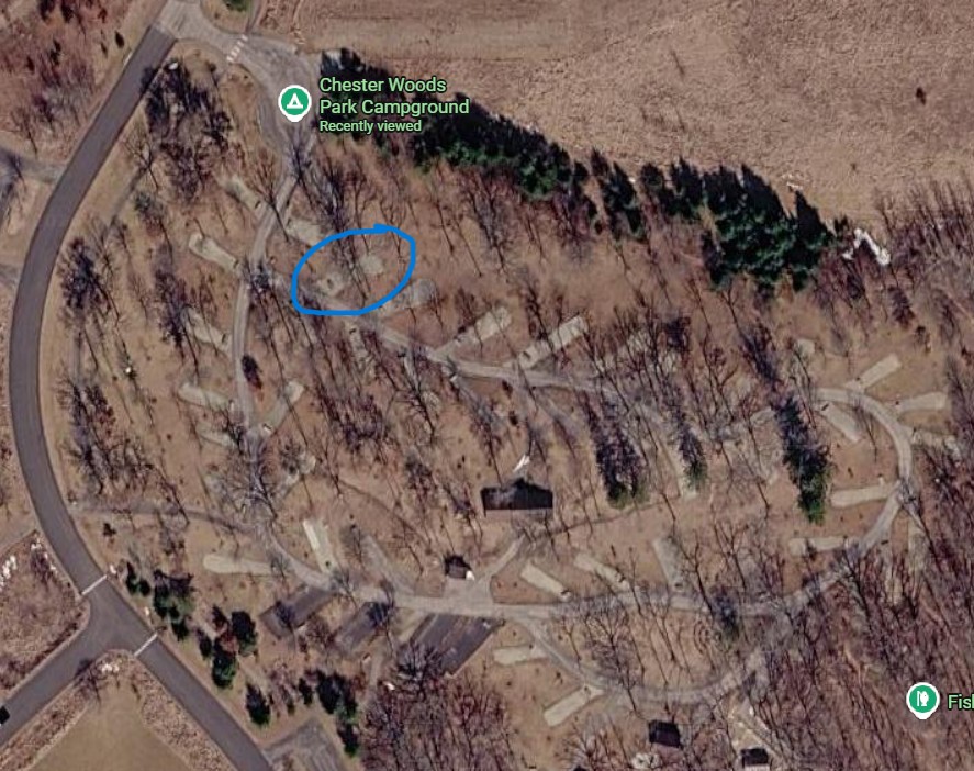
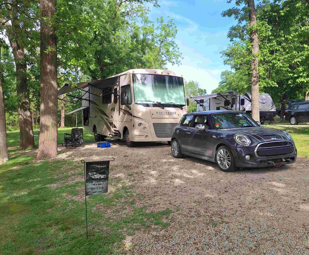
We spent way too much time trying to level our RV at the campground. We improved it by moving the RV, but we are second guessing ourselves and think that we should have moved the RV even more. Right now it is at a tilt, something we will live with for a night.
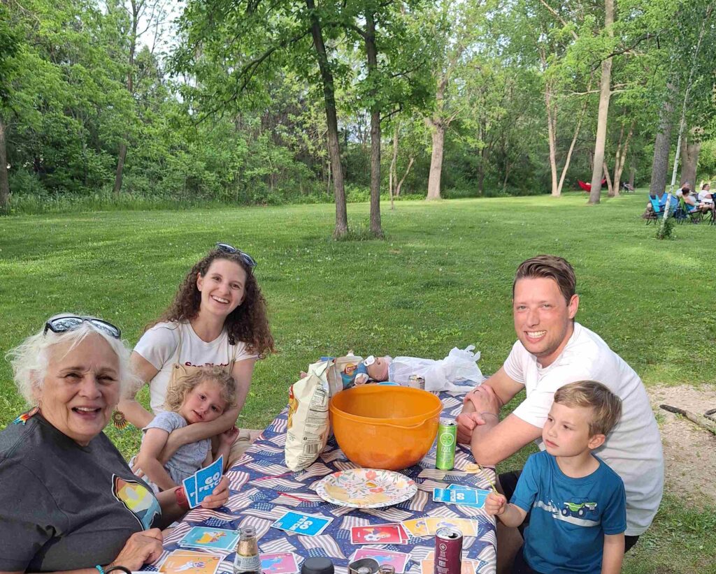
Jon and Austyn Franklin (our niece) joined us for a cookout, bringing Cooper and Maive with them. Vicki played “Go Fetch” (variation of Go Fish but with dogs) with Cooper, and we all enjoyed burgers/hot dogs, potato salad, and watermelon. It was great to see and talk with them and meet the littles for the very first time!