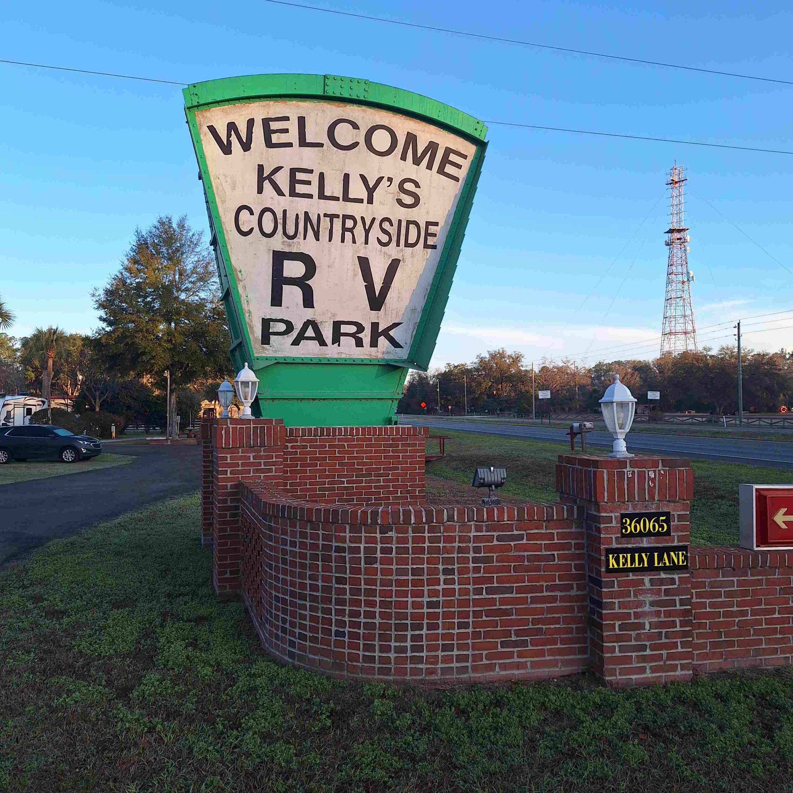
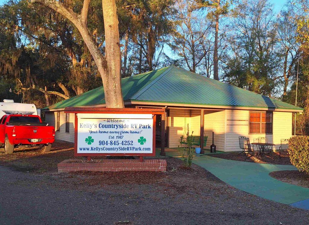
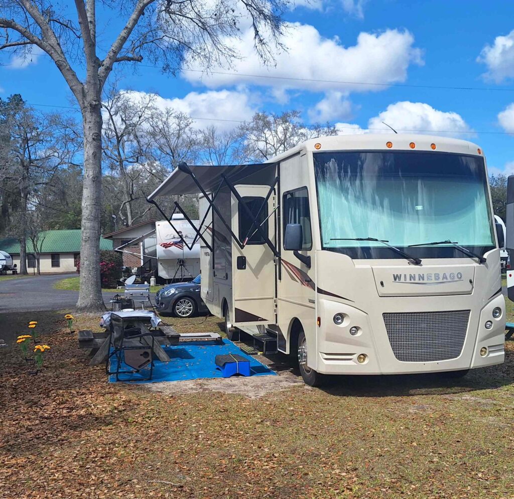
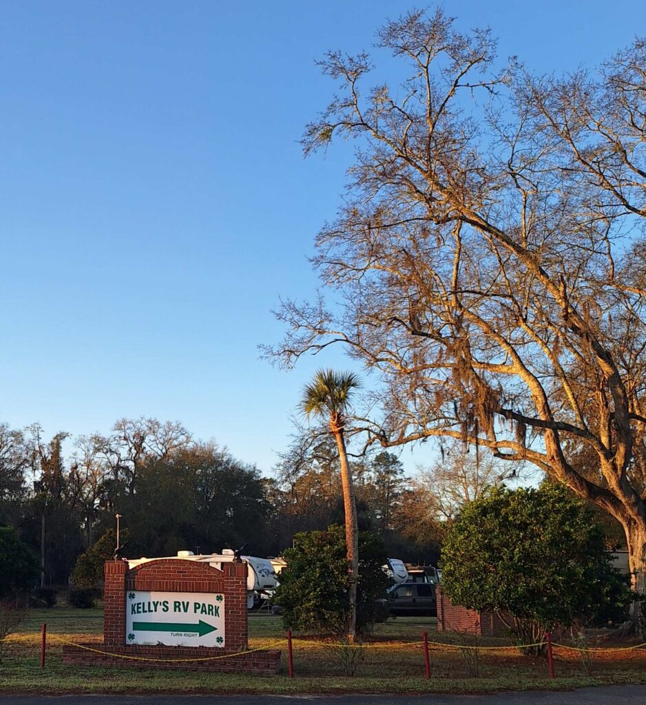
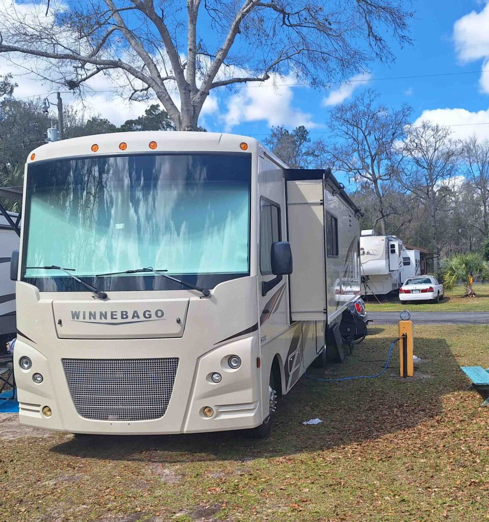
Our next stop while heading north was Kelly’s Countryside Campground (https://kellyscountrysidervpark.com/), which was north of Jacksonville and ‘near’ Amelia Island. The campground is nice, but we are right next to US route 1. And the planning was poor. The national sites nearby (Timucuan Preserve and Fort Caroline) were closed on the days we were in the area (Monday, Tuesday), so we weren’t able to get cancellations in our National Parks and Historic sites Passport book.
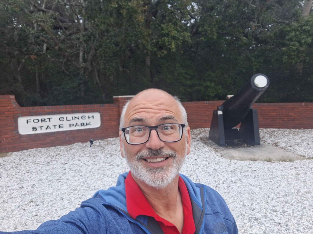
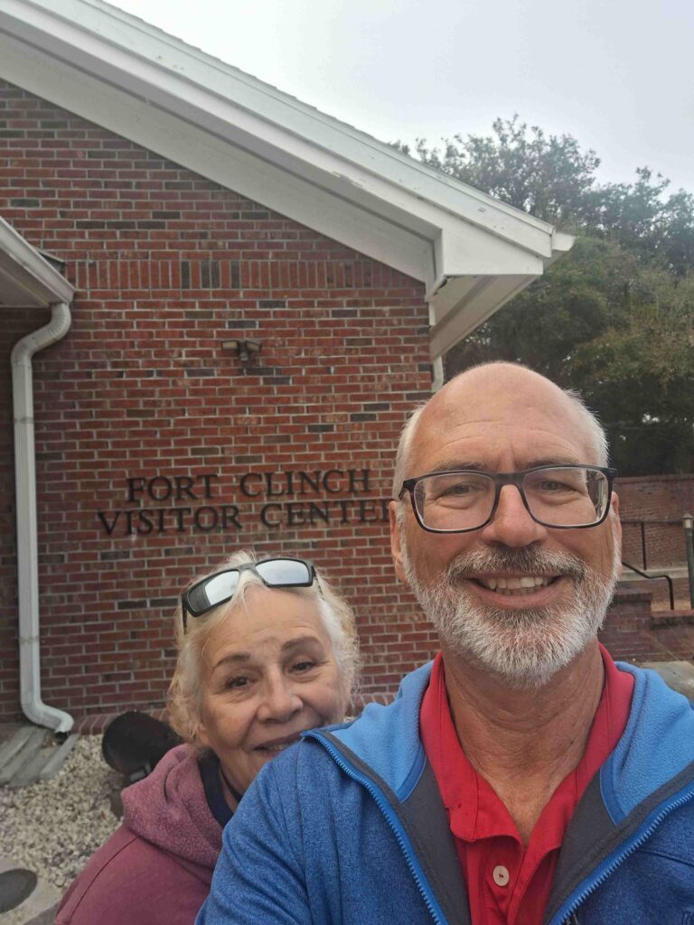
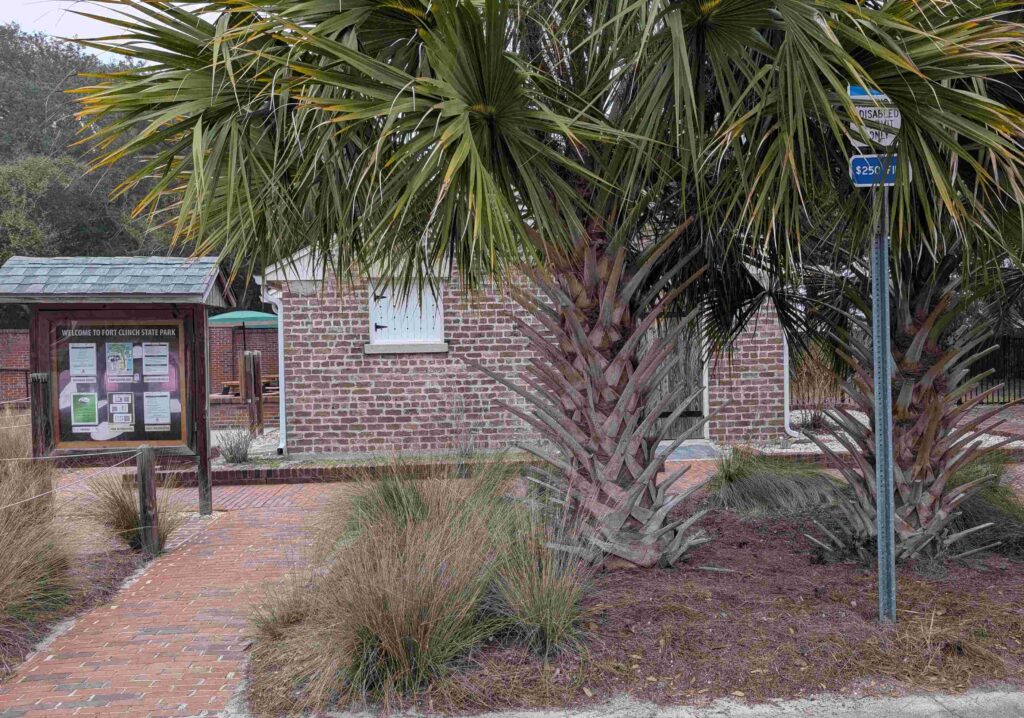
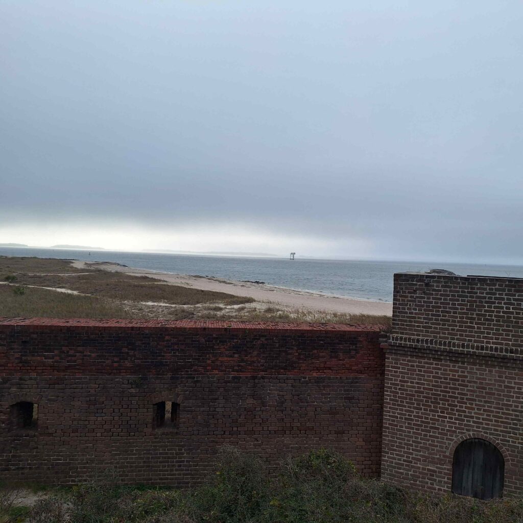
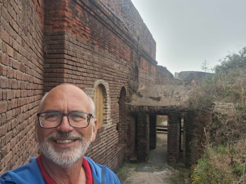
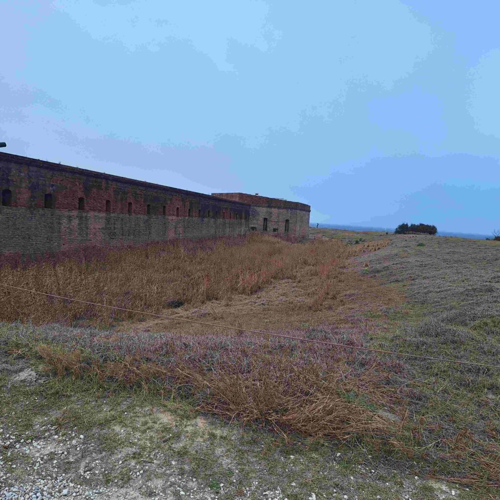
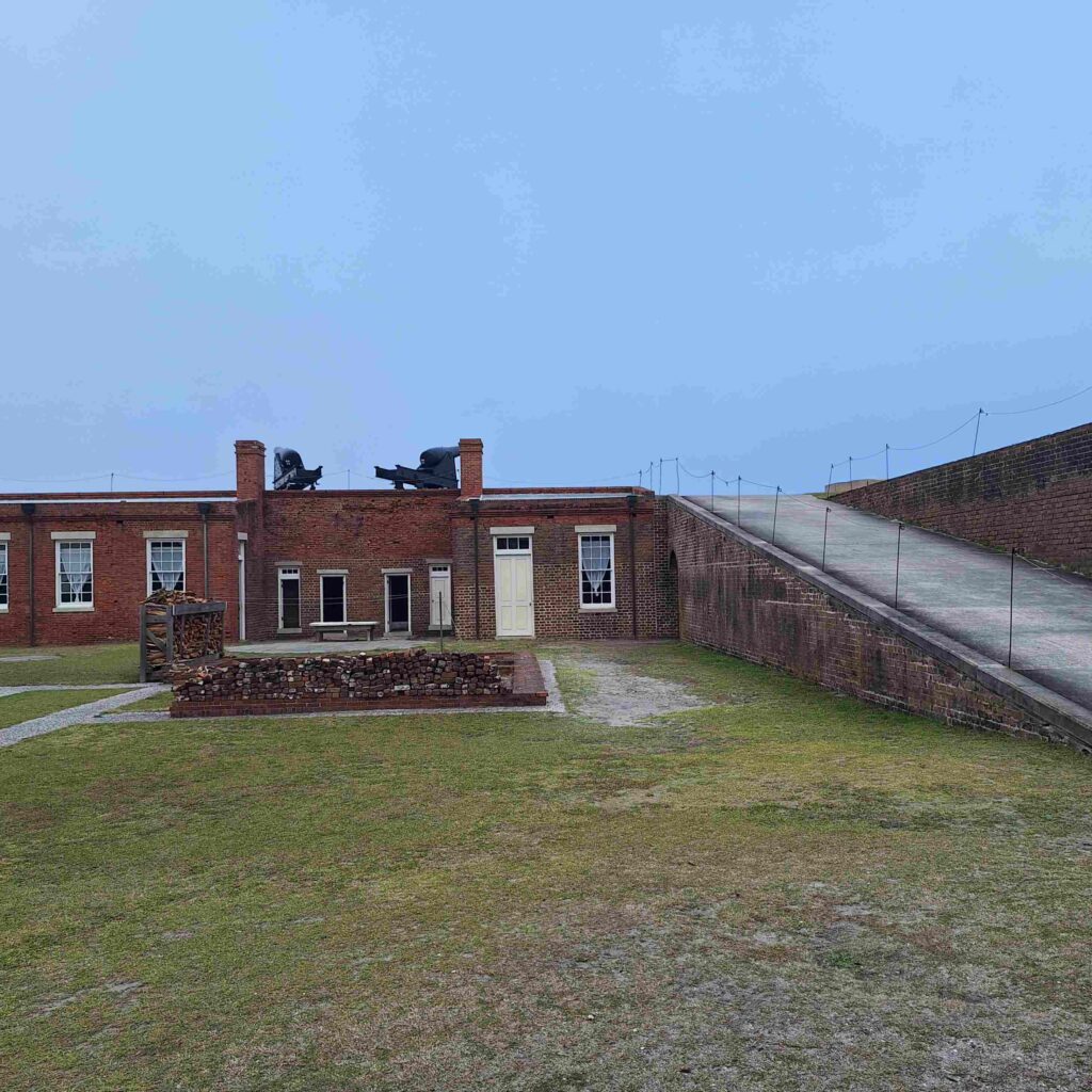
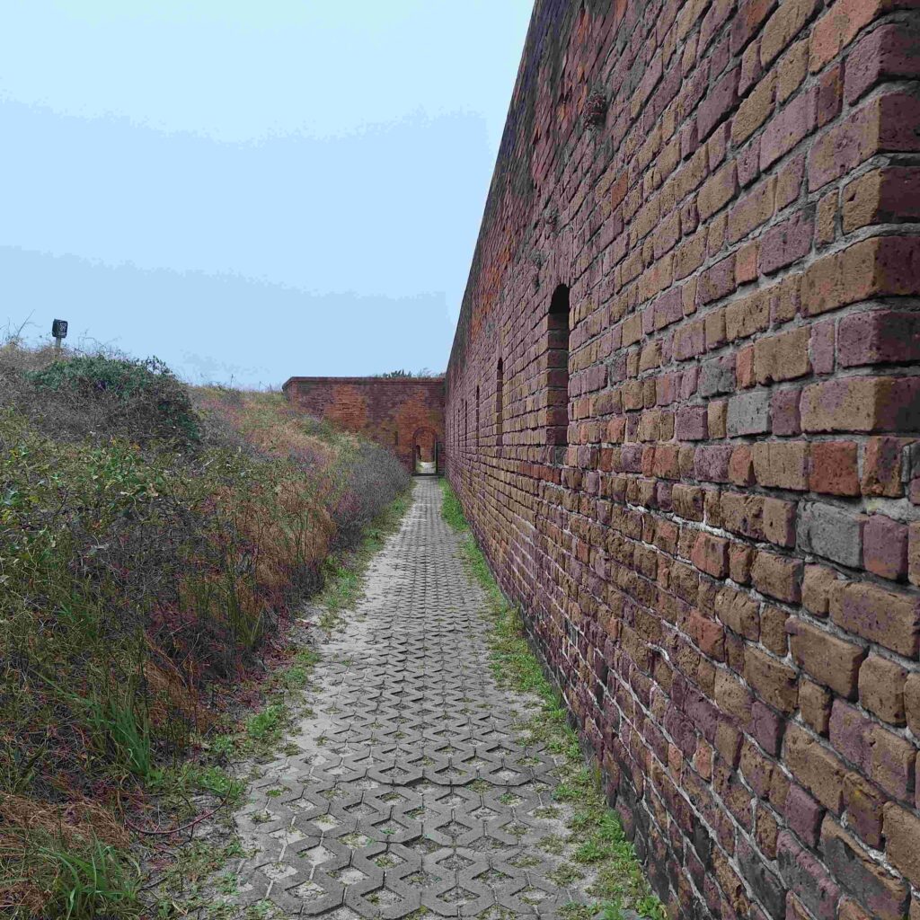
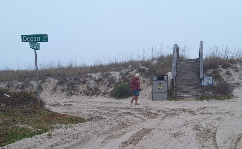
We did drive over to Amelia Island, which was about 45 minutes away. We went to Fort Clinch State Park (https://www.floridastateparks.org/fortclinch) where Steven explored the fort and took Lexie for a walk. Unfortunately, it became too foggy for Vicki to see the beach as the evening started.
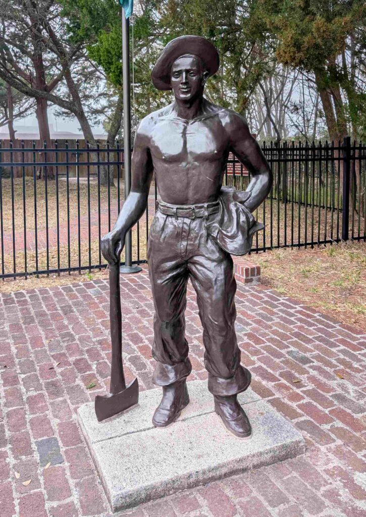
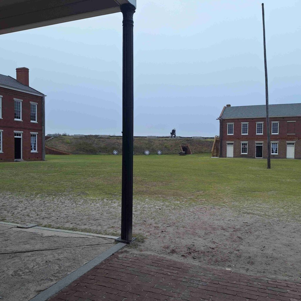
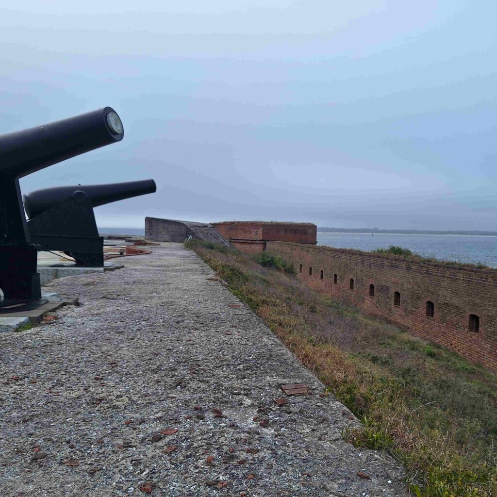
The fort was built around the time of the Revolutionary War, and its construction was definitely different than the forts built after the War of 1812. The outside walls were thinner and the cannons were mounted on an earth ridge. There was a gap between the outside walls and the ridge that soldiers could move around and shoot their muskets into the surrounding area.


The park has several long trails, and Steve and Lexie walked along a nature trail that was parallel to the road for about one and a half miles. Vicki drove by in the Mini to pick us up at one of the rest areas.
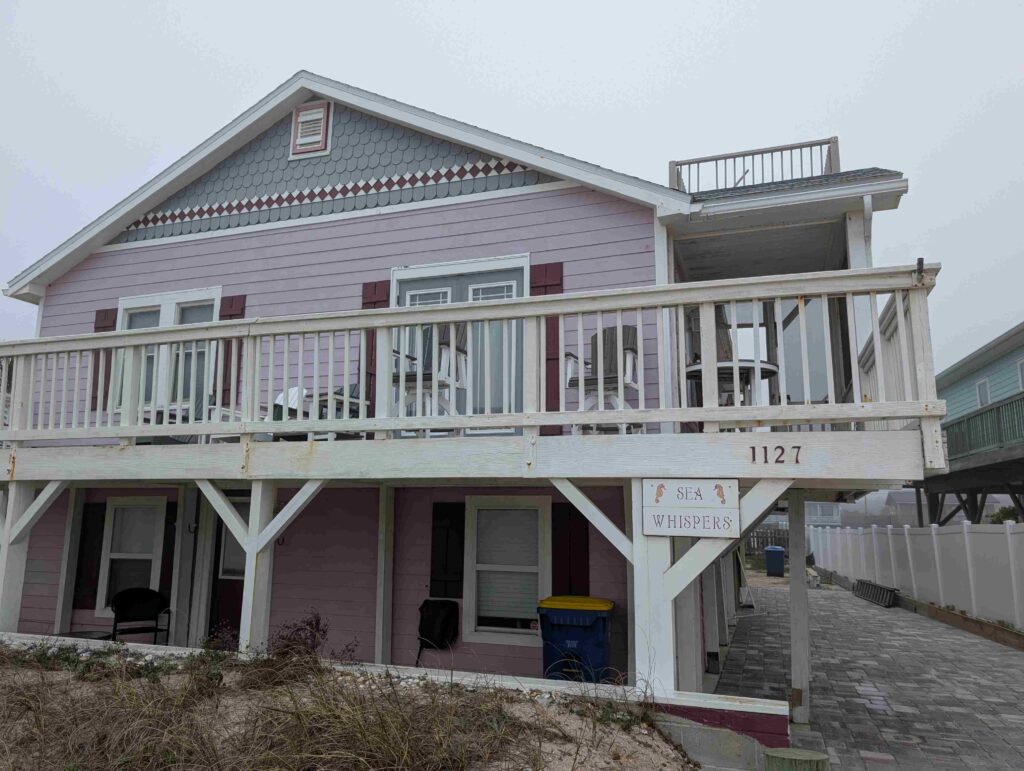
After the park we found Steve and Jennifer Cibor’s house. Actually, Vicki found it. Steve stopped driving the car when the road turned into sand. But Steve thought the location, right next to beach, was awesome.
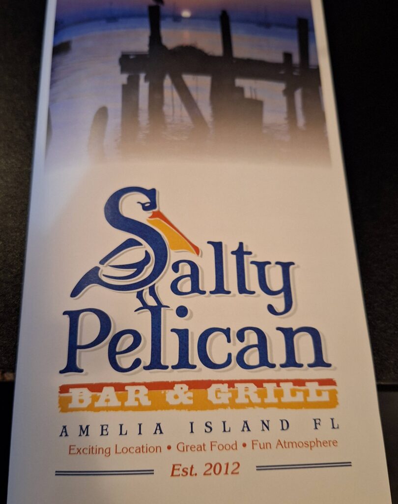
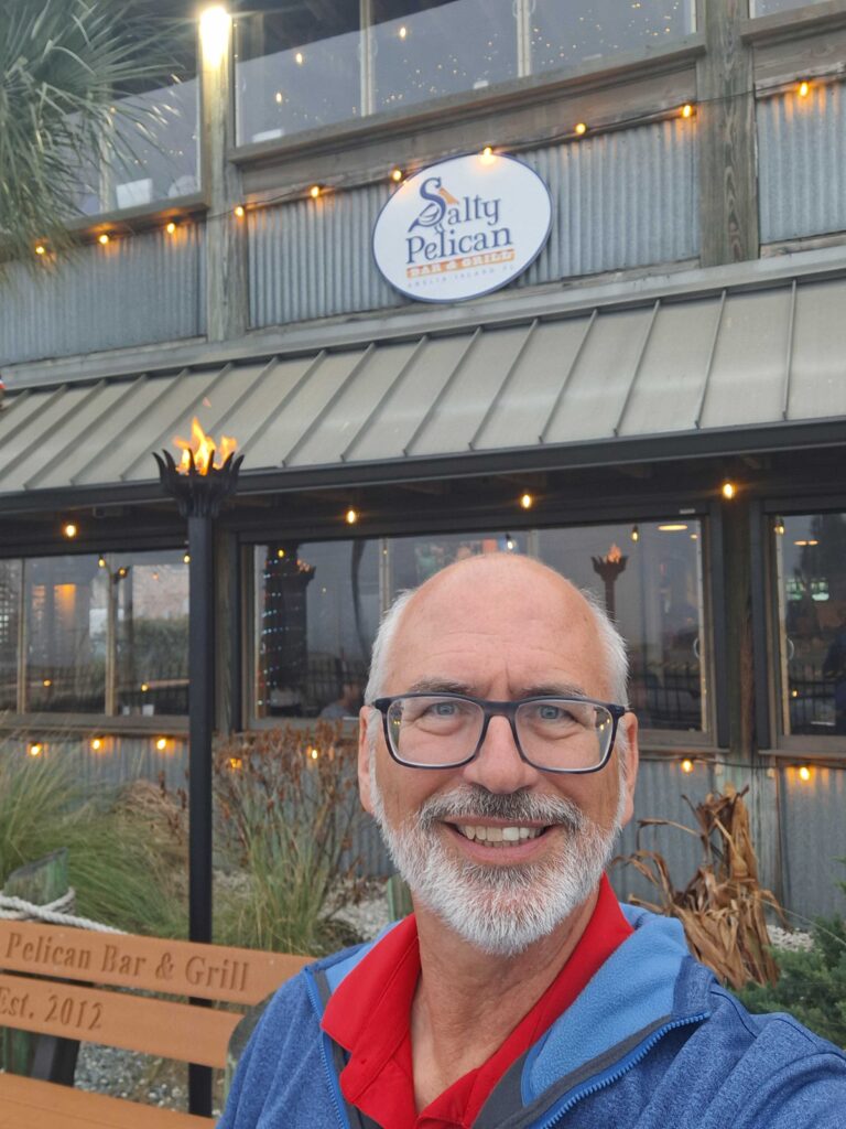
We went to dinner at the Salty Pelican, right on the Amelia River. We were told the sunsets there were great, but it was too foggy to see any sun. But we enjoyed the food. Appetizer was a very yummy tuna nachos, Steve had Parmesan crusted Mahi with shrimp, Vicki had clam chowder and a crabcake sandwich.
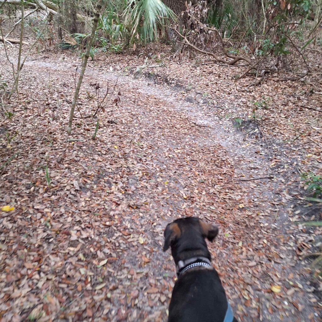
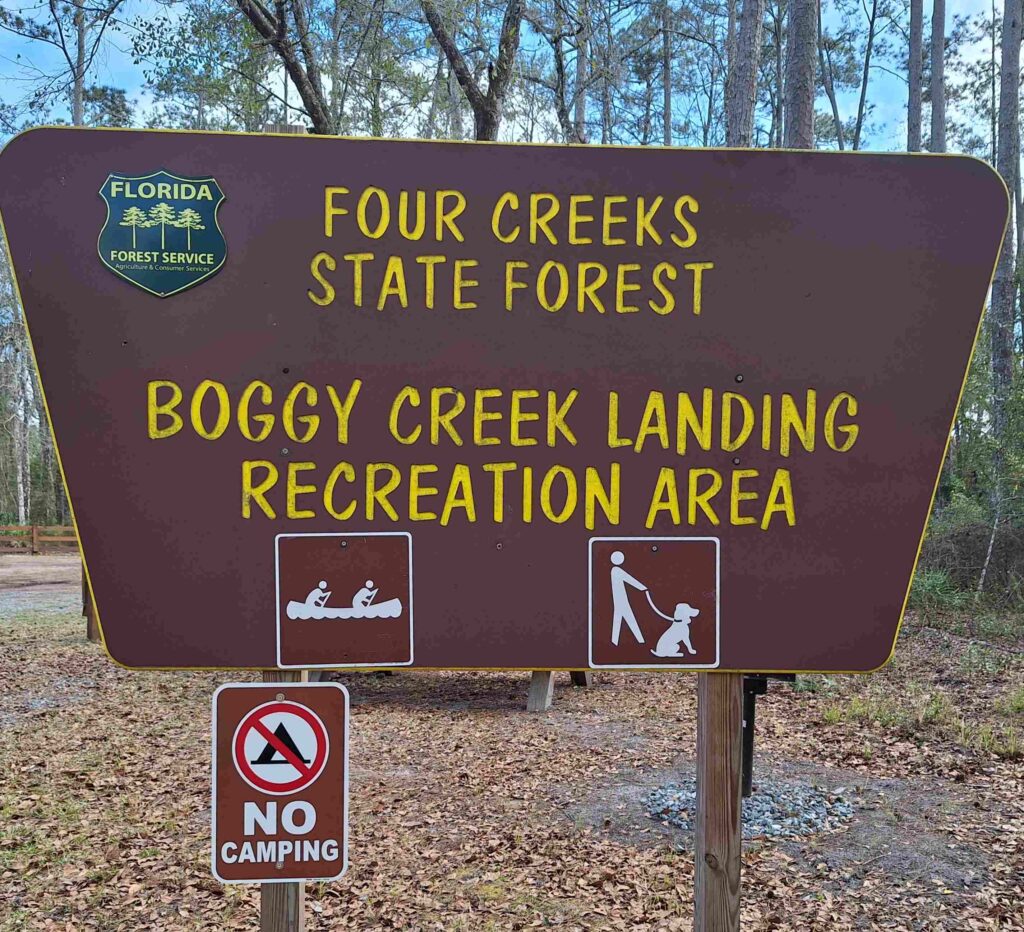
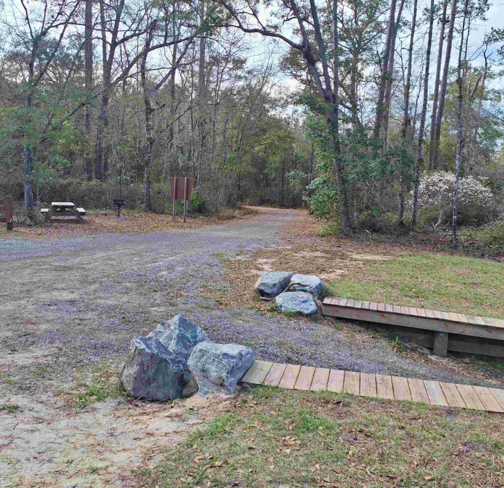
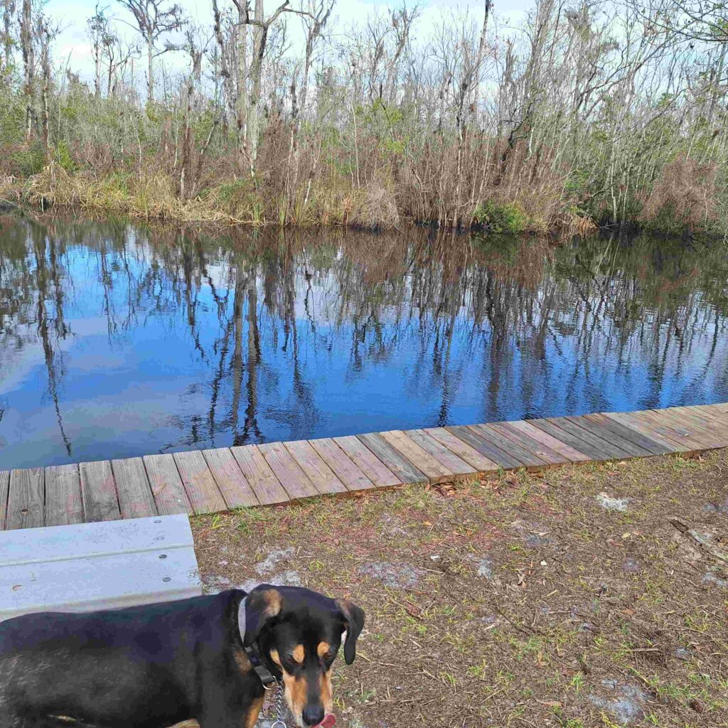
Steven and Lexie went looking for a hike in Four Creeks State Forest. What we found, after three miles of driving down a single lane semi-dirt road, was the Boggy Creek Recreation area. The recreation area consisted of a boat ramp, picnic pavilion, and a fishing area. But no trails! So we walked along the semi-dirt road for awhile.
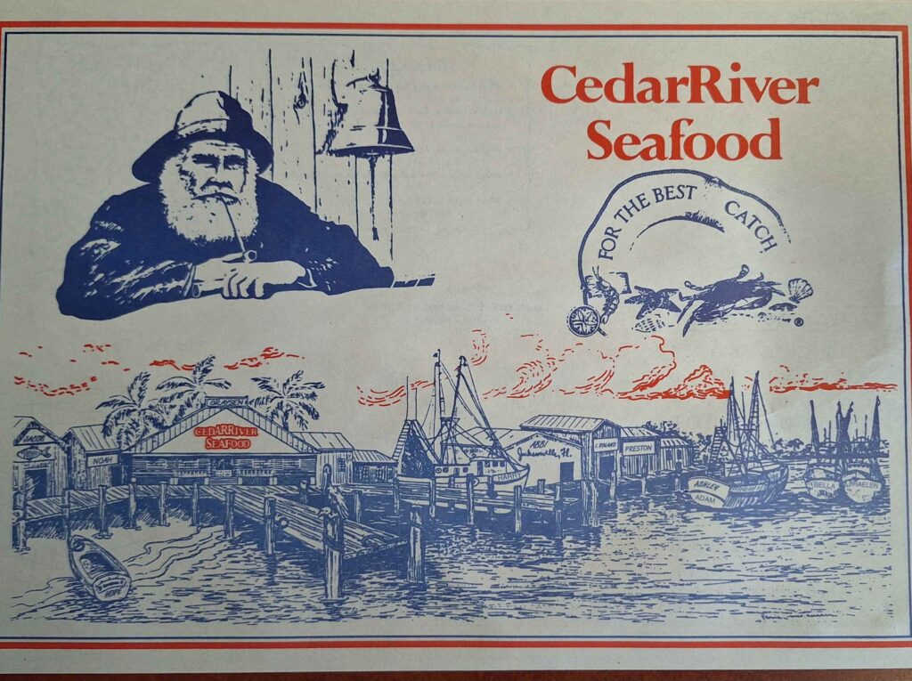
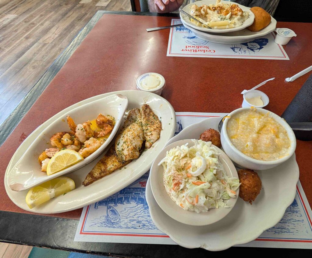
Vicki and Steve enjoyed a lunch at Cedar River Seafood, a restaurant located near our campground in Callahan. Steve had the shrimp alfredo, which may or may not have had MSG as a seasoning. Vicki had the flounder with shrimp and grits.